Waterfall Hikes Near Burns, OR
within 50 miles
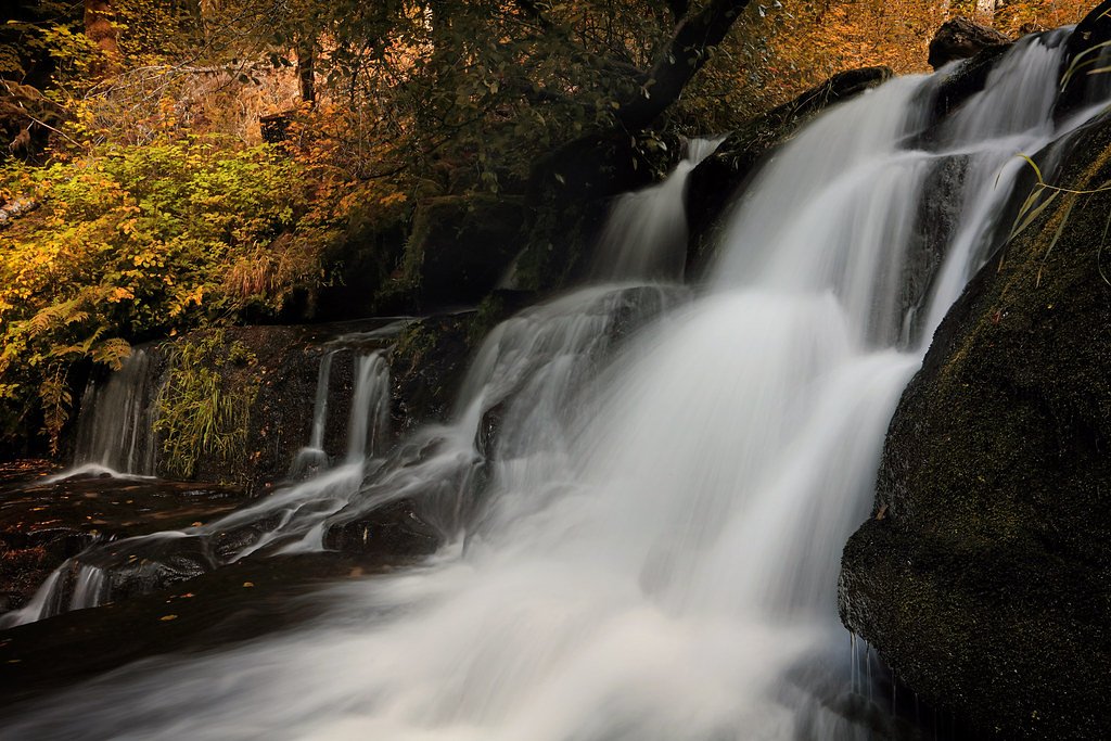
Looking for the best waterfalls to hike near Burns? There are 1 waterfall hiking trail within a 50-mile radius of Burns. These trails range from moderate to moderate difficulty, providing options for both casual hikers and experienced adventurers looking to explore the region's natural beauty.
Map of Waterfalls Near Burns
Today's Conditions
Live data from USGS gauges & National Weather Service
Best Day to Hike
Monday
Sunny · 78°F
Know when to go.
Get a free email alert when waterfalls near Burns hit peak flow. We only send when conditions are worth the trip — no weekly newsletters, no spam.
Find waterfalls to hike near Burns
Have your own travel site? Embed these waterfalls for free.
🐕 Dog-Friendly Waterfall Hikes Around Burns (1 waterfall)
Bring your four-legged friend along! These waterfalls welcome dogs on their trails.
All 1 Waterfall Near Burns
Frequently Asked Questions About Waterfalls Near Burns
Are there dog friendly waterfalls in Burns?
There is 1 dog-friendly waterfall near Burns, including South Fork Falls.
Are there kid-friendly waterfalls near Burns?
There is 1 kid-friendly waterfall near Burns, including South Fork Falls.
What is the shortest waterfall hike near Burns?
The shortest waterfall hike near Burns is South Fork Falls at 2.4 miles round trip.
Can I camp near the waterfalls around Burns?
Yes, 1 waterfall near Burns has nearby campgrounds.
What is the closest waterfall to Burns?
The closest waterfall to Burns is South Fork Falls, approximately 48.7 miles away.
🏙️ Other Cities Near Burns With Waterfalls
Nearby Hot Springs
Hot springs near Burns, Oregon
Millpond Hot Spring
Millpond Hot Spring emerges at 79°F in Harney County near Hines, providing moderate thermal output at 4,151 feet elevation. Rec...
Goodman Spring
Goodman Spring flows at 72°F from roadside terrain 49 meters from the nearest road in Harney County's sagebrush country near Hi...

Roadland Spring
Roadland Spring flows at 72°F in Harney County, Oregon, confirmed by recent USGS readings of 22°C. The spring emerges at 4,137 ...
Baker Spring
Baker Spring emerges at 70°F in Harney County at 4,134 feet elevation near Hines, flowing 21 degrees above ambient temperature ...
Unnamed Spring Harney County 10
A 70°F warm spring at 4,096 feet elevation in Malheur National Wildlife Refuge, running just 20 degrees above the 50.3°F ambien...
Unnamed Spring Harney County 1
An unnamed thermal spring in Harney County emerges at 72°F at 4,205 feet elevation near Burns, running 23 degrees above the amb...
Looking for a soak after your hike? Explore more hot springs near Burns, Oregon on SoakingSprings.
Explore Oregon springsWhere to Stay
Browse vacation cabins and private rentals nearby
Unique outdoor stays — tents, yurts, and treehouses
Rent a campervan or RV for your waterfall road trip
Some links are affiliate links. We may earn a commission at no extra cost to you.