Difficulty
Easy
Trail Length
0.3 km
Trail Type
Out And Back
About The Cataracts
The Cataracts is a set of cascades on the Avalon Peninsula of Newfoundland and Labrador, located on the southern/central part of the peninsula near Argentia. Reports describe it as a series of falls and riffles within a forested coastal landscape. Specifics on exact drop and formal infrastructure are limited; visitors report a natural, undeveloped setting with short rough approaches from a nearby road.
The Setting
The Cataracts sits at 74 metres within Cataracts Provincial Park, in the coastal lowlands of Newfoundland and Labrador.
Why This Waterfall Exists
The Cataracts flows over layered sedimentary rock laid down about 539 million to 1.0 billion years ago. Over time, the stream has worn through these layers at different rates, creating the step that forms the waterfall.
Trail & Hike Details
Trail Description
Available information suggests an undeveloped approach: expect a short, informal footpath from roadside parking through mixed boreal/strand vegetation to the stream. Trails are likely narrow, may be uneven and muddy after rain, and could include short rocky sections near the water. There do not appear to be constructed viewing platforms or maintained boardwalks.
What to Expect
A natural, low‑infrastructure waterfall experience, wooded surroundings, mossy rocks, and a series of cascades rather than a single very high drop. Water flow will be highest in spring and after heavy rain. Facilities (toilets, signage, marked trails) are likely minimal or absent. Cell coverage may be spotty in parts of the Avalon Peninsula.
Accessibility
The trail is short and relatively flat, but the surface may be uneven. Contact the managing agency for accessibility details.
Frequently Asked Questions
🐶 Are Dogs Allowed at The Cataracts?
❌ Dogs are not allowed
Are There Any Fees or Permits Required?
🆖 No fees required
🏊 Is There Swimming at The Cataracts?
❌ Swimming is not allowed
When to Visit
Late spring (high flows) through early fall (milder weather) for the best combination of water volume and access. Summer provides easiest access but lower flows; fall offers good color. Winter access may be hazardous due to ice and snow.
Seasonal Access
The best time to visit is Spring, Summer, and Fall. Winter access may be limited. Check with the managing park or local authority for current conditions.
Safety Information
Hazards include slippery rocks and stream banks, unstable edges, cold water temperatures, and rapidly changing weather. Trails may be muddy and visibility limited in heavy rain or fog. Cell phone reception can be unreliable; carry navigation and emergency supplies. If visiting in winter, ice and snow greatly increase risk, avoid getting on ice near flowing water. Always tell someone your plans and expected return time.
Current Water Conditions
3.1 m³/s
Current discharge — how much water is flowing
About average for this time of year
Based on 76 years of record
0.68 m
Water depth at gauge
7-Day Discharge Trend
What does this mean for your visit?
Flow is about average for this time of year.
About This Gauge
7-Day Flow Outlook
Based on the WSC gauge ROCKY RIVER NEAR COLINET (5 km away).
Today
Moderate
3.3 m³/s
6/10Tomorrow
Moderate
4.3 m³/s
6/10Tue
Moderate
3.2 m³/s
8/10Wed
Moderate
3.2 m³/s
6/10Thu
Moderate
3.6 m³/s
6/10Fri
Moderate
3.6 m³/s
6/10Sat
Moderate
3.6 m³/s
6/10Best window: Tue — moderate flow, cloudy (trip score 8/10).
Best time of year: this gauge typically runs highest from late March to late April, peaking in April.
How we calculate this
This is a transparent outlook, not a precise forecast. We take the waterfall's current flow strength (how it ranks against its historical normal for today, from the nearest WSC stream gauge), carry that ranking forward along the gauge's seasonal curve, and nudge it for forecast rain. Confidence is highest for the next day or two and falls further out. Always check official conditions and your own judgment before visiting — high flows can be dangerous.
Know when to go.
Get a free email alert when waterfalls near Argentia hit peak flow. We only send when conditions are worth the trip — no weekly newsletters, no spam.
Weather Forecast
Location & Access
Getting There
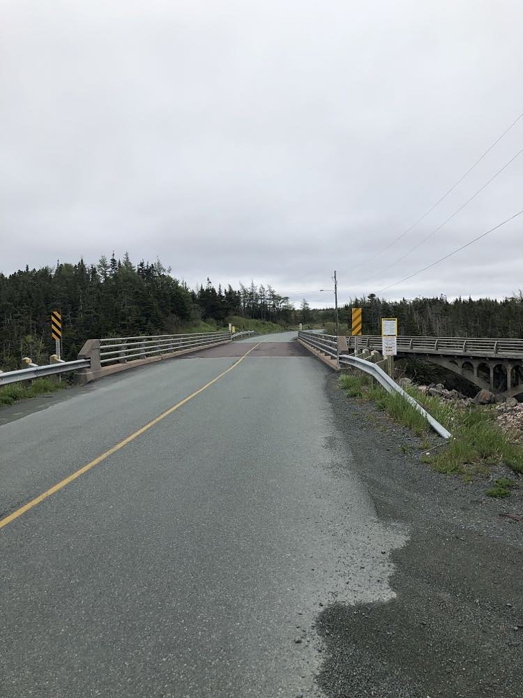
General access is from local paved and/or gravel roads off the main routes serving Argentia and nearby communities. The coordinates (47.2421, -53.6312) place the site on the Avalon Peninsula; expect narrow local roads and at least a short unpaved approach. From Argentia (approx. 18–20 miles) the drive is the shortest; from St. John's expect roughly an hour-plus drive. Exact public trailheads and signage may be minimal or absent.
Get Directions on Google MapsParking
Parking is likely limited to a small pullout or informal roadside area. There are probably no formal parking lots, restrooms, or other facilities at the fall. Park safely off the travel lane and avoid blocking driveways or gates.
Elevation
74 metres above sea level
Coordinates
47.242055° N, -53.631164° W
Land Management
Managed by Government of Newfoundland and Labrador, Department of Tourism, Culture, Arts and Recreation, Parks Division
Visitor Tips & Gear
1) Wear sturdy, waterproof footwear with good traction, rocks and banks near the falls can be slippery. 2) Prepare for muddy trails and insects (black flies/mosquitoes) in late spring and summer. 3) Bring a map/GPS and note the coordinates before you go; signage may be minimal. 4) Do not approach unstable or eroding banks and avoid climbing on wet rocks. 5) Leave no trace: pack out all trash and dog waste. 6) Check local road conditions in winter, roads and access may be closed or require a higher-clearance vehicle.
Where to Stay
Browse vacation cabins and private rentals nearby
Unique outdoor stays — tents, yurts, and treehouses
Rent a campervan or RV for your waterfall road trip
Some links are affiliate links. We may earn a commission at no extra cost to you.
Nearby Campground
Argentia Sunset Park
26.7 km away
Additional Information
Nearby Attractions
Nearby communities and points of interest on the Avalon Peninsula include Argentia and Placentia. Further afield are coastal viewpoints and seabird colonies on the southern Avalon (for example, Cape St. Mary's Ecological Reserve is a well-known attraction on the peninsula). Distances vary, plan drives accordingly.
Wildlife
Typical coastal and boreal wildlife of the Avalon Peninsula: seabirds and waterfowl along nearby coastlines, songbirds in wooded areas, and occasional sightings of moose, foxes, and small mammals. Insect activity (black flies, mosquitoes) can be high in warm months.
Cities near The Cataracts
Nearby Waterfalls

Other waterfalls named The Cataracts
1 other waterfall shares this name across Canada.
Writing about The Cataracts? Embed this waterfall on your site for free.