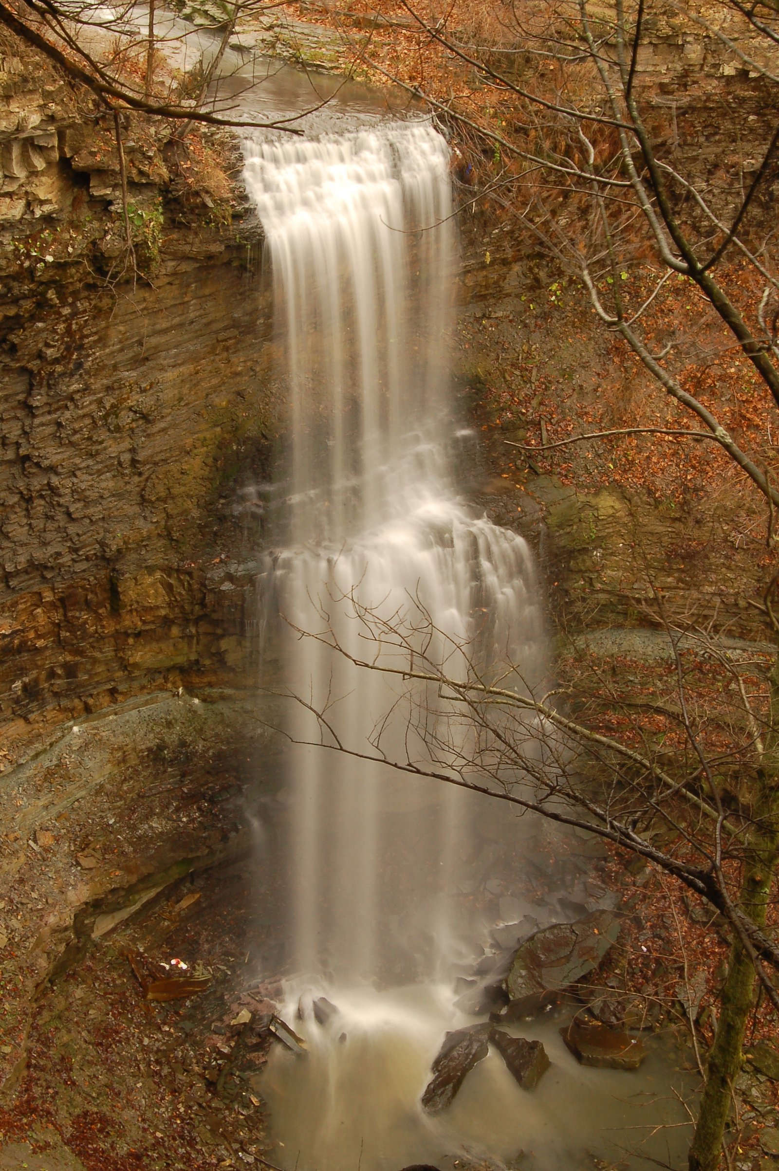
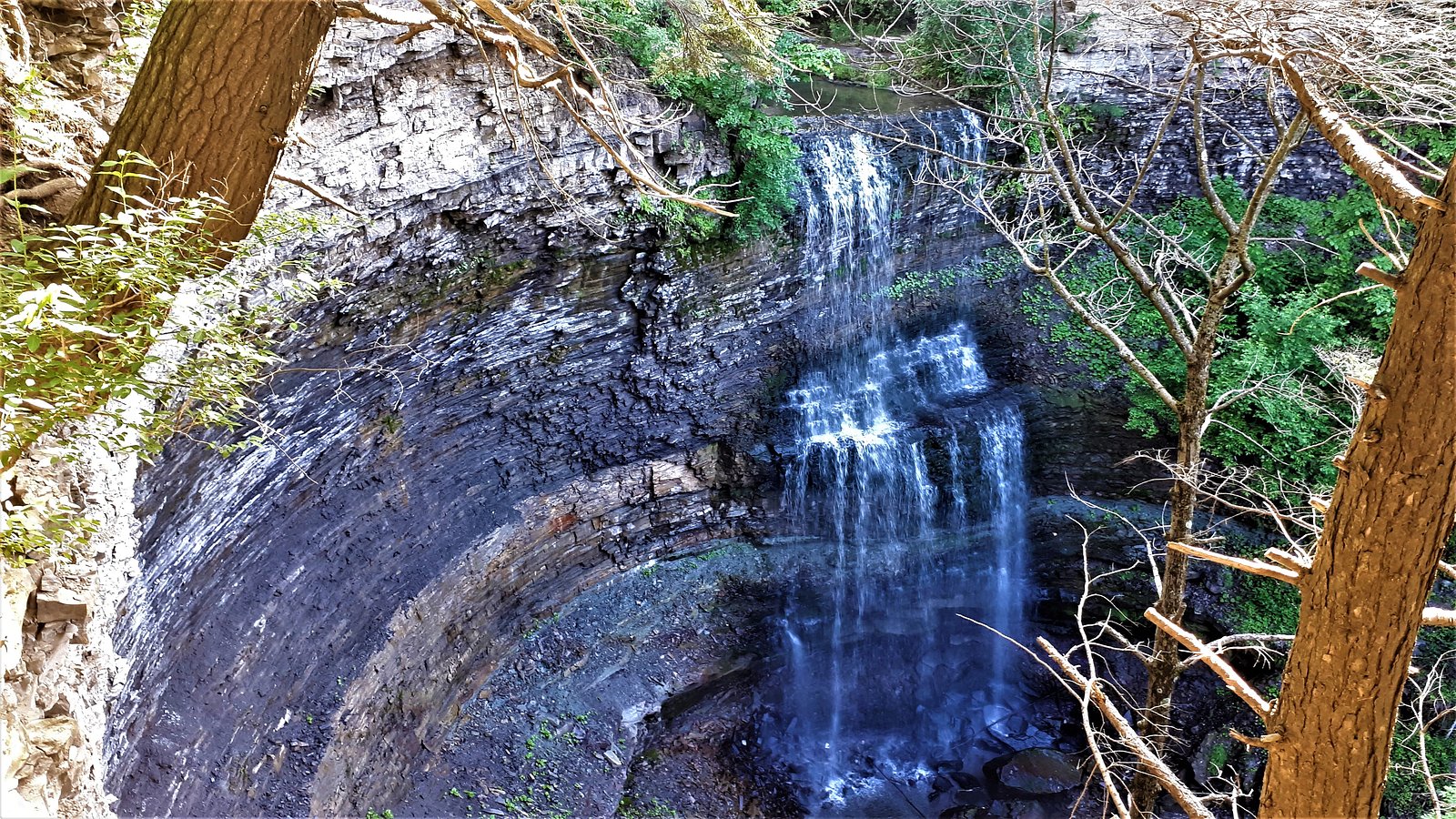
Taro Falls
Ontario • Felker's Falls • 12 m
By Armen Suny · Last verified Jun 2026

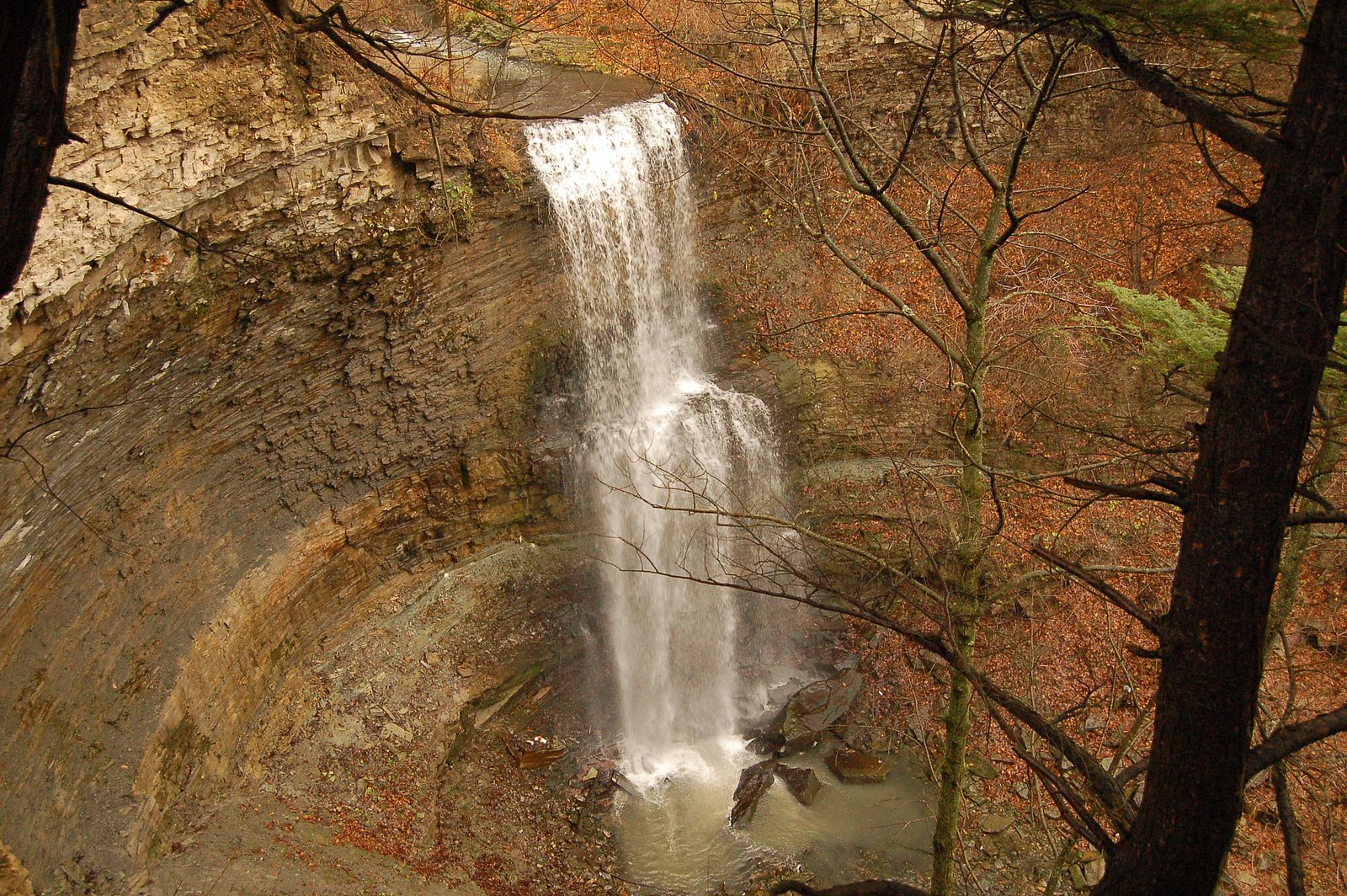
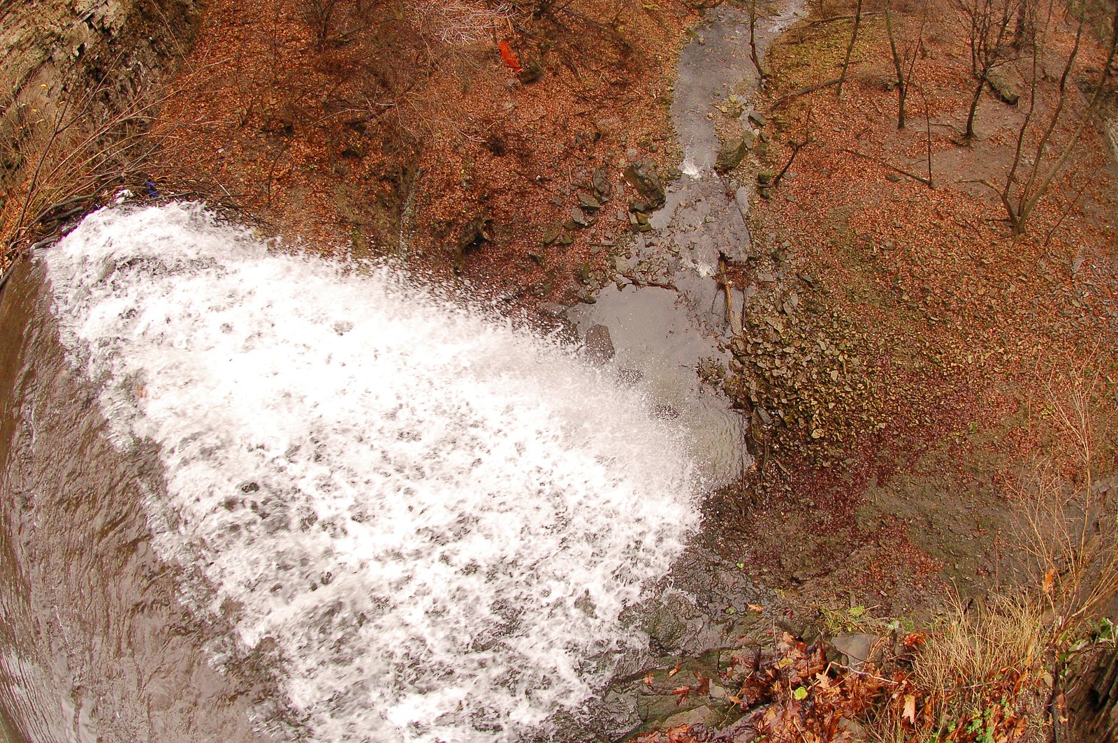
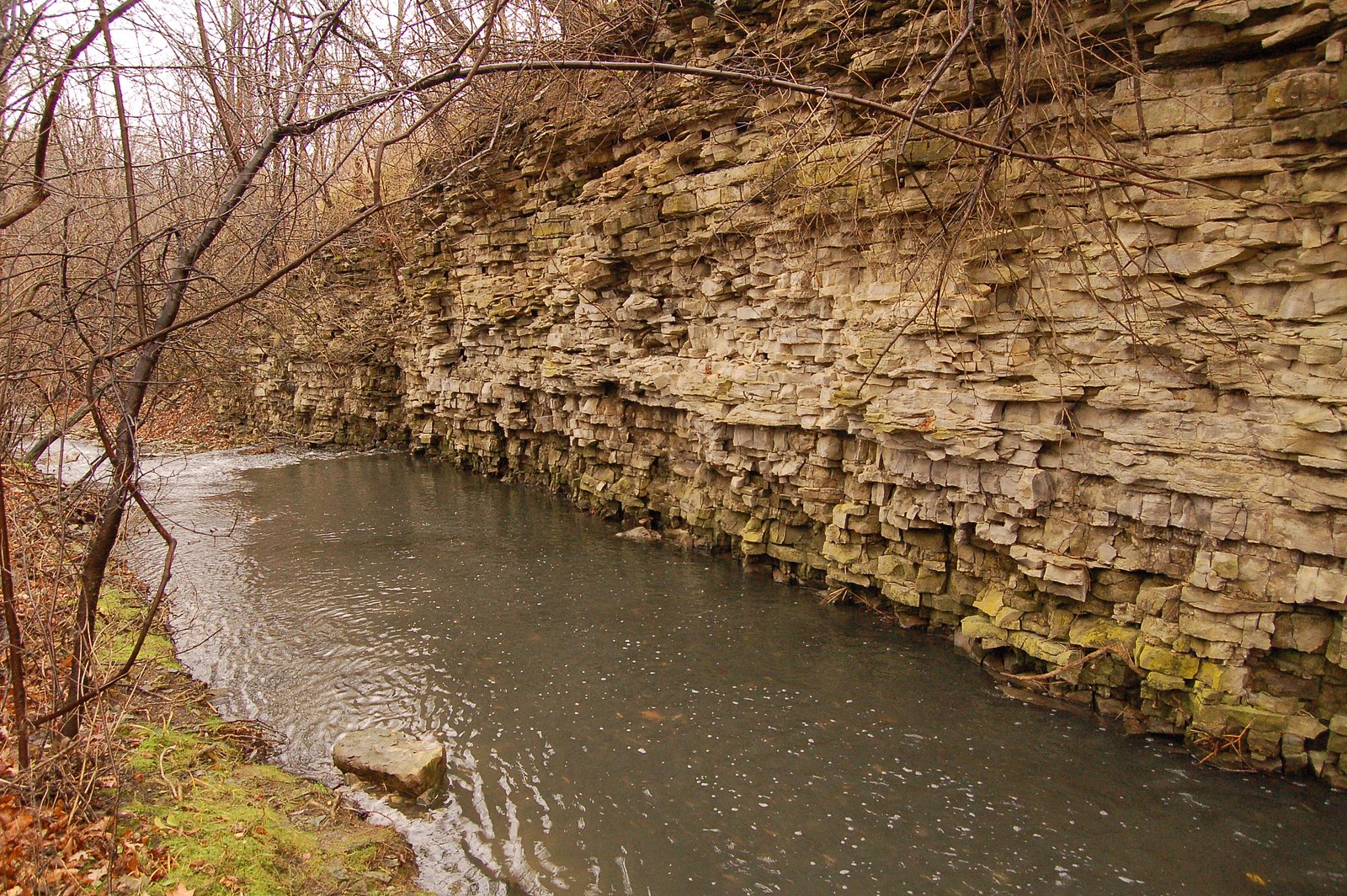
Photo Credits (5)
Difficulty
Hard
About Taro Falls
Taro Falls is a small waterfall in the Niagara/St. Catharines–Hamilton region of Ontario located near coordinates 43.2049, -79.7878. Publicly available information about a formal trail, parking, or park management is limited. Access appears to be by short, often unmarked footpaths off local roads; parts of the approach may cross or run adjacent to private property. Water flow is typically highest in spring (snowmelt and spring rains) and after heavy rain; in winter the falls may form ice features but can be hazardous.
The Setting
Taro Falls sits at 172 metres within Felker's Falls, in the foothills of Ontario. The falls drop 12 metres.
Height: 40 feet
Nearby Falls Worth Visiting
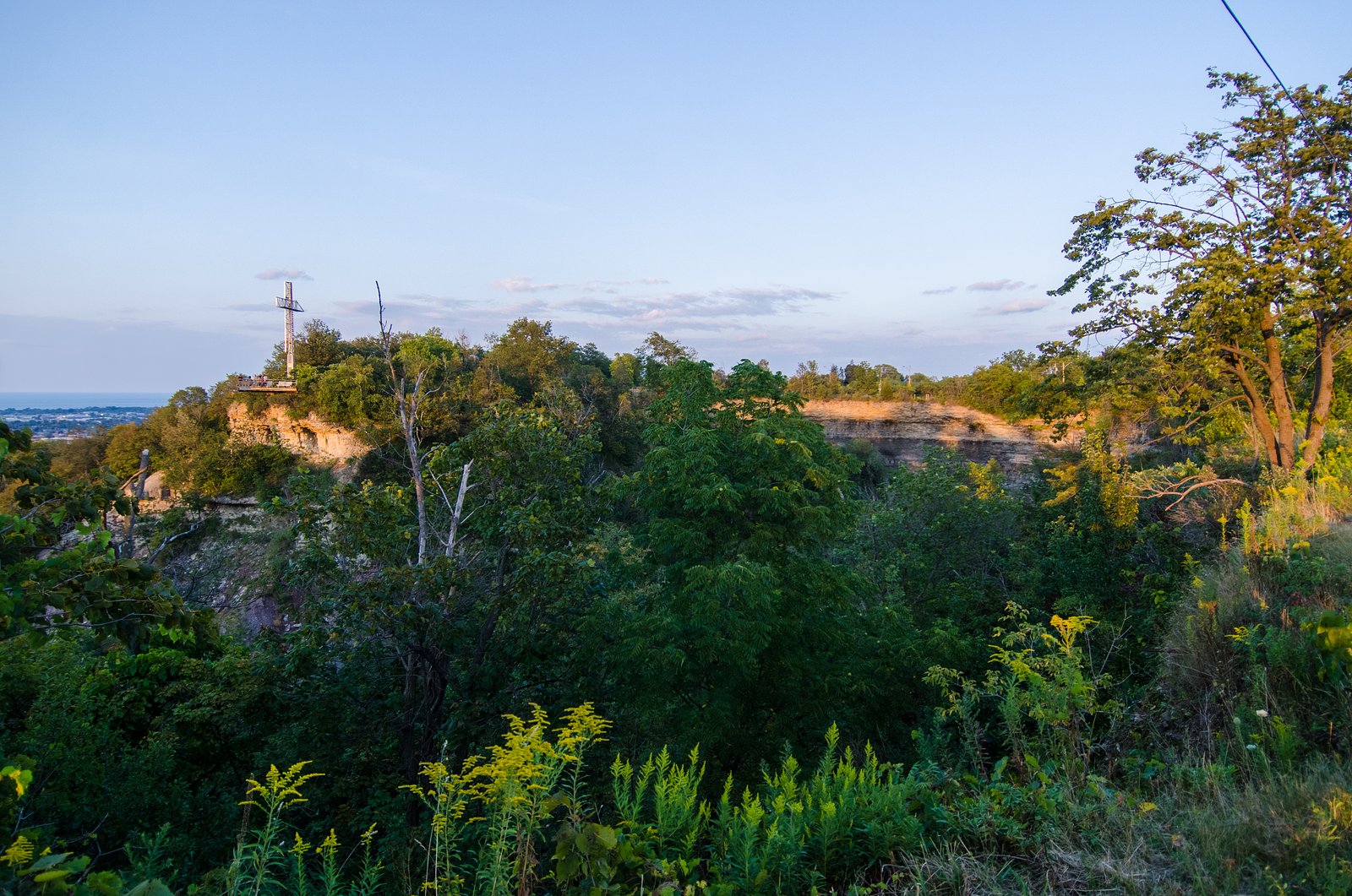
Felker's Falls (22 m) lies 0.3 kilometres to the southwest. Also nearby: Billy Green Falls (17 m, 1.8 km) and Centennial Falls (10 m, 1.6 km).
Trail & Hike Details
Trail Description
There is little formal information available about a maintained trail to Taro Falls. Visitors report short, unmarked, and potentially steep footpaths leading down to the creek and falls; expect uneven ground, tree roots, mud, and potentially slippery rock. Route-finding may be required. Because official trail data is not readily available, treat access as informal and variable depending on season and landowner access.
What to Expect
The falls drop 12 metres.
Accessibility
The trail involves steep, uneven terrain with significant elevation change and is not accessible to mobility devices.
Frequently Asked Questions
🐶 Are Dogs Allowed at Taro Falls?
❌ Dogs are not allowed
Are There Any Fees or Permits Required?
🆖 No fees required
🏊 Is There Swimming at Taro Falls?
❌ Swimming is not allowed
When to Visit
Late spring (during/after snowmelt) for strongest flow and fall for foliage color. Visit early in the morning or on weekdays to avoid any local traffic and minimize disturbance. Avoid steep or icy approaches in winter and be cautious after heavy rain due to high flows and slippery conditions.
Seasonal Access
The best time to visit is Spring, Summer, Fall, and Winter. Check with Felker's Falls for current conditions.
Safety Information
Exercise caution: • Slippery rocks and unstable banks are common, falls and serious injury can occur. • Water currents can be stronger than they appear; avoid entering fast or cold water. • Ice in winter can be thin and deceptive, do not walk on frozen sections of the creek or pool unless confirmed safe by authorities. • Poison ivy, ticks, and other natural hazards may be present. • There may be sections on or adjacent to private land, verify access to avoid trespassing. • If conditions are unclear, consult local authorities, park services, or recent visitor reports (AllTrails or local hiking forums) before visiting.
Current Water Conditions
0.2 m³/s
Current discharge — how much water is flowing
About average for this time of year
Based on 40 years of record
11.27 m
Water depth at gauge
7-Day Discharge Trend
What does this mean for your visit?
Flow is about average for this time of year.
About This Gauge
7-Day Flow Outlook
Based on the WSC gauge REDHILL CREEK AT HAMILTON (4 km away).
Today
Moderate
0.2 m³/s
8/10Tomorrow
Moderate
0.2 m³/s
6/10Tue
Moderate
0.2 m³/s
6/10Wed
Moderate
0.2 m³/s
6/10Thu
Moderate
0.2 m³/s
8/10Fri
Moderate
0.2 m³/s
6/10Sat
Moderate
0.2 m³/s
6/10Best window: Today — moderate flow, mainly sunny (trip score 8/10).
Best time of year: this gauge typically runs highest from mid February to early May, peaking in April.
How we calculate this
This is a transparent outlook, not a precise forecast. We take the waterfall's current flow strength (how it ranks against its historical normal for today, from the nearest WSC stream gauge), carry that ranking forward along the gauge's seasonal curve, and nudge it for forecast rain. Confidence is highest for the next day or two and falls further out. Always check official conditions and your own judgment before visiting — high flows can be dangerous.
Know when to go.
Get a free email alert when waterfalls near Hamilton hit peak flow. We only send when conditions are worth the trip — no weekly newsletters, no spam.
Weather Forecast
Location & Access
Getting There
Use the coordinates 43.2049, -79.7878 in a mapping app to locate the site. The falls are in the general Niagara / St. Catharines–Hamilton area (approximately 5.4 miles from Hamilton, 33.6 miles from Youngstown, and 35.2 miles from Niagara University per the provided context). Expect the final approach to be on local roads and likely via short unmarked footpaths. Confirm access on local maps and watch for private property signs; do not trespass.
Get Directions on Google MapsParking
No verified official parking lot is documented. Parking may be limited to roadside spaces on nearby streets or at informal pullouts. If you park roadside, avoid blocking driveways or private property and obey local signage. Consider using a nearby public parking area or trailhead if available and permitted.
Elevation
172 metres above sea level
Coordinates
43.204931° N, -79.787771° W
Land Management
Managed by Hamilton Conservation Authority
Visitor Tips & Gear
• Check property boundaries and signage; do not trespass. • Wear sturdy, grippy footwear, rocks and banks will be slippery when wet. • Use caution near edges; banks can be unstable. • Avoid visiting alone if the area is remote/unmarked; bring a partner and tell someone your plan. • Expect limited or inconsistent cellphone coverage; download offline maps or screenshot the coordinates. • Bring tick repellent and check for ticks after leaving wooded areas. • Leave no trace: pack out trash and avoid disturbing vegetation or wildlife.
Where to Stay
Browse vacation cabins and private rentals nearby
Unique outdoor stays — tents, yurts, and treehouses
Rent a campervan or RV for your waterfall road trip
Some links are affiliate links. We may earn a commission at no extra cost to you.
Nearby Campground
Lost Forest Park & Camping Resort
21.1 km away
Additional Information
Nearby Attractions
Nearby attractions in the broader region include Niagara Falls and related parks, various Niagara Peninsula wineries, Short Hills Provincial Park, local Bruce Trail sections and several well-known Hamilton-area waterfalls (e.g., Webster Falls, Albion Falls). Confirm driving times and locations with a map as this site is in the greater Niagara/Hamilton area.
Wildlife
Typical southern Ontario wildlife: white-tailed deer, raccoons, squirrels, various songbirds, waterfowl, and possibly coyotes. Expect insects including mosquitoes and ticks. Be respectful of wildlife and keep a safe distance.
Cities near Taro Falls
Nearby Waterfalls


Writing about Taro Falls? Embed this waterfall on your site for free.