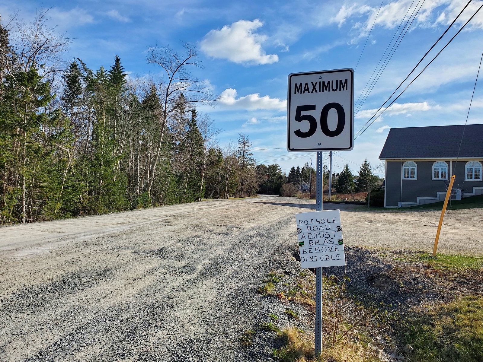
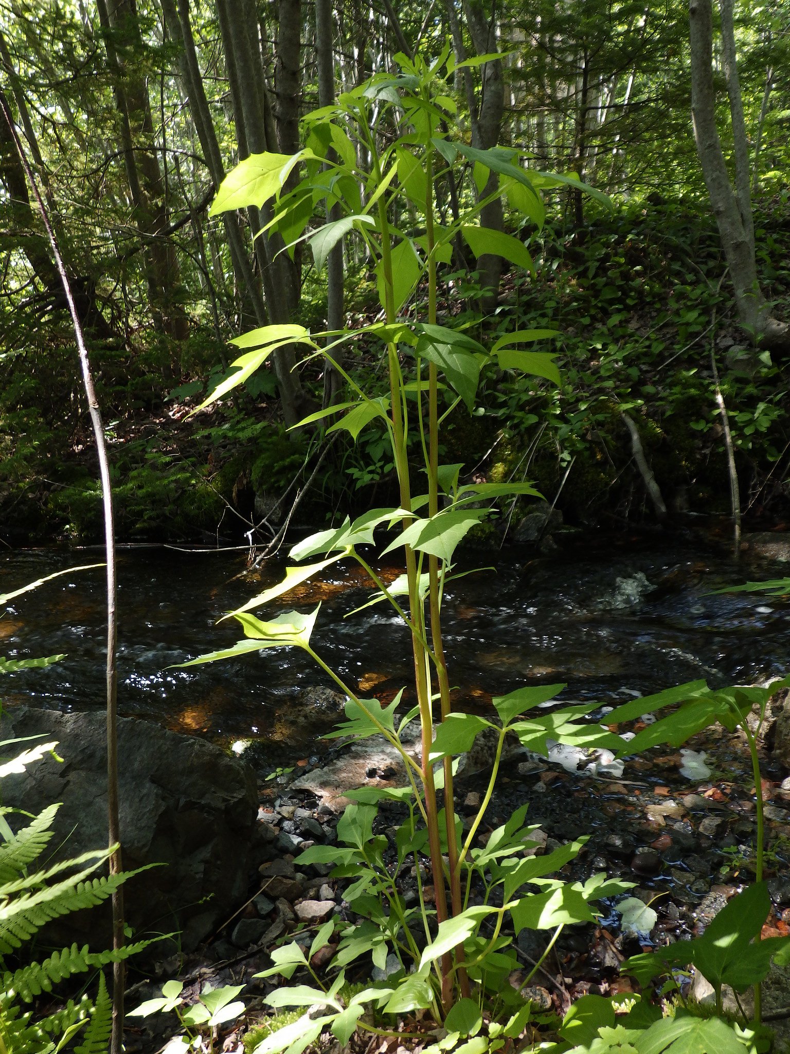
Photo Credits (3)
Difficulty
Easy
Trail Length
0.5 km
Trail Type
Out And Back
About Slaughenwhites Cascades
Slaughenwhites Cascades is a series of small cascades/rapids on a local brook in central Nova Scotia (coordinates 44.6836, -63.8868). It appears to be a smaller, locally known waterfall feature rather than a large, developed park attraction. Detailed published information (height, maintained trail status) is limited; descriptions below use conservative language where specific facts are not confirmed.
Trail & Hike Details
Trail Description
There is no widely published, maintained trail description for Slaughenwhites Cascades. Access may involve a short walk from a roadside pullout or an informal path along the brook; sections may be rocky, uneven and include short scrambles to reach the best viewing spots. Trail route, signage and maintenance are not confirmed, treat access as potentially unmarked and primitive.
What to Expect
Expect a small cascade or series of drops on a forested brook. Water flow will vary by season: higher in spring (snowmelt/rain) and lower in late summer and fall. There may be shallow pools and exposed bedrock; banks can be slippery, especially after rain. Cell service may be intermittent. There are likely no facilities (toilets, picnic tables) or staffed services on site.
Accessibility
The trail is short and relatively flat, but the surface may be uneven. Contact the managing agency for accessibility details.
Frequently Asked Questions
🐶 Are Dogs Allowed at Slaughenwhites Cascades?
❌ Dogs are not allowed
Are There Any Fees or Permits Required?
🆖 No fees required
🏊 Is There Swimming at Slaughenwhites Cascades?
❌ Swimming is not allowed
When to Visit
Late spring and early summer typically provide the best water flow and comfortable conditions. Fall offers nice foliage colors but lower flows; winter can produce ice formations but is more hazardous.
Seasonal Access
The best time to visit is Spring, Summer, Fall, and Winter. Check with the managing park or local authority for current conditions.
Safety Information
Approach cascades cautiously: rocks and ledges are slippery when wet or covered with moss/ice. Avoid climbing near edges or standing under overhangs. Water temperature can be cold even in summer; fast-moving water can be hazardous. Check property boundaries and avoid trespassing. Tell someone your plans and expected return time if hiking in a remote area.
Current Water Conditions
0.0 m³/s
Current discharge — how much water is flowing
98.51 m
Water depth at gauge
7-Day Discharge Trend
About This Gauge
This gauge is on a nearby waterway and may not reflect exact conditions at the falls.
7-Day Flow Outlook
Based on the WSC gauge TOMAHAWK LAKE OUTLET NEAR HAMMONDS PLAINS (13 km away).
Today
Moderate
0.0 m³/s
6/10Tomorrow
Moderate
0.0 m³/s
9/10Tue
Moderate
0.0 m³/s
8/10Wed
Moderate
0.0 m³/s
6/10Thu
Moderate
0.0 m³/s
6/10Fri
Moderate
0.0 m³/s
6/10Sat
Moderate
0.0 m³/s
6/10Best window: Tomorrow — moderate flow, mainly sunny (trip score 9/10).
How we calculate this
This is a transparent outlook, not a precise forecast. We take the waterfall's current flow strength (how it ranks against its historical normal for today, from the nearest WSC stream gauge), carry that ranking forward along the gauge's seasonal curve, and nudge it for forecast rain. Confidence is highest for the next day or two and falls further out. Always check official conditions and your own judgment before visiting — high flows can be dangerous.
Know when to go.
Get a free email alert when waterfalls near Halifax hit peak flow. We only send when conditions are worth the trip — no weekly newsletters, no spam.
Weather Forecast
Location & Access
Getting There
The cascades are at approximately 44.6836, -63.8868 in central Nova Scotia. The site is roughly 13.8 miles from Halifax, about 24.4 miles from Windsor, and ~66.7 miles from Liverpool by road (these are approximate driving distances to the general area). Expect access from local roads; precise public parking coordinates are not confirmed. Use the provided coordinates in a GPS or mapping app to locate the stream and any nearby road pullouts.
Get Directions on Google MapsParking
Parking information is not confirmed. There may be limited roadside parking or a small pullout on a local road. Do not block driveways or gates. If no formal lot exists, park well off the roadway and out of the travel lane.
Elevation
11 metres above sea level
Coordinates
44.683569° N, -63.886784° W
Visitor Tips & Gear
• Use the coordinates to plan your route and identify legal access points. • Wear sturdy footwear with good traction; expect rock, mud and wet surfaces. • Check local maps and, if possible, recent trip reports for access notes or landowner restrictions. • Pack out all trash and respect private property, some nearby roads and access points may cross private land. • If visiting in winter, be prepared for ice and very slippery conditions; approach frozen cascades with caution and consider traction devices.
Where to Stay
Browse vacation cabins and private rentals nearby
Unique outdoor stays — tents, yurts, and treehouses
Rent a campervan or RV for your waterfall road trip
Some links are affiliate links. We may earn a commission at no extra cost to you.
Nearby Campground
Moose/Tia'm
8.3 km away
Additional Information
Nearby Attractions
Nearest towns include Halifax (~14 miles), Windsor (~24 miles) and Liverpool (~67 miles). Depending on the exact access route, there may be local lakes, rivers and other small waterfalls in the broader region. Confirm distance/time before travel.
Wildlife
Typical central Nova Scotia wildlife may be present (songbirds, small mammals, deer). Be aware of black flies in spring/early summer and mosquitoes in warm months. No specific dangerous wildlife is documented for this site, but always exercise normal caution.
Cities near Slaughenwhites Cascades
Nearby Waterfalls
Writing about Slaughenwhites Cascades? Embed this waterfall on your site for free.