Photo Credits (5)
Difficulty
Moderate
Trail Length
1.8 km
Trail Type
Out And Back
Elevation Gain
34 m
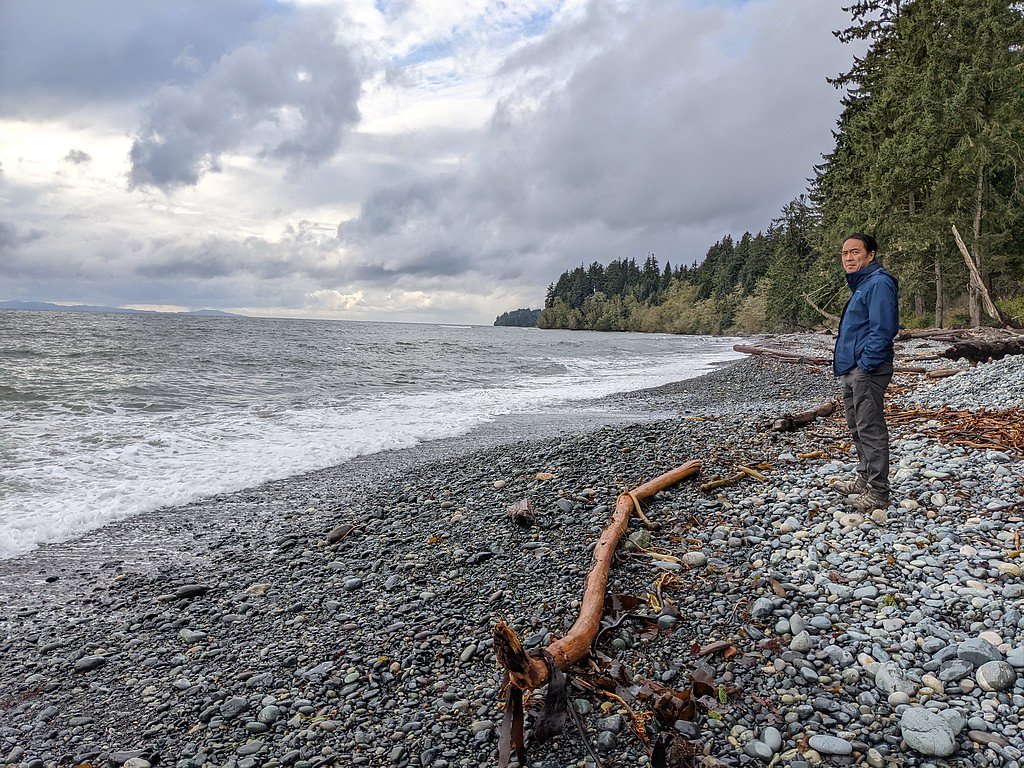
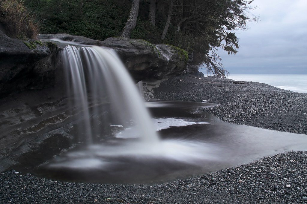
About Sandcut Falls
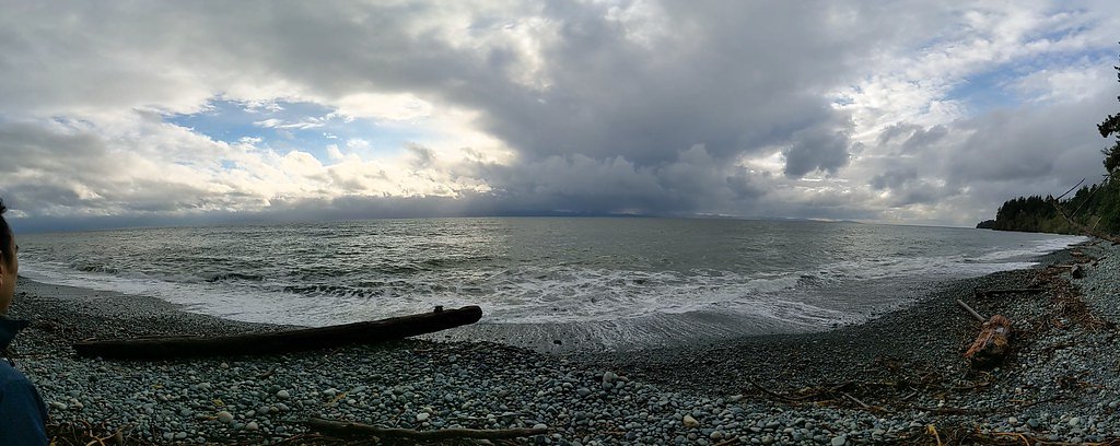
Sandcut Falls is a small, forested cascade located near the northwest tip of the Olympic Peninsula region. The reported coordinates (48.4126, -124.0139) place the falls in the general area north/northwest of Clallam Bay and Sekiu and southeast of Neah Bay. Local descriptions suggest a secluded setting reached by short unmarked trails or forest roads; specifics about height and formal facilities are not well-documented in primary trail databases. Access and conditions may be seasonal and can change with logging activity or weather.
Why This Waterfall Exists
Sandcut Falls flows over volcanic rock laid down about 23-66 million years ago. These resistant rocks form a durable ledge that water cannot easily wear away, creating the falls where softer material downstream has already eroded.
Trail & Hike Details
The Approach
The moderate 1.8-km out-and-back trail gains 34 metres of elevation on the way to the falls.
Trail Description
There is no widely published, maintained trail description from major trail services for Sandcut Falls at the given coordinates. Reports indicate access may require following an informal spur from a logging or forest road and possibly negotiating short, unmarked sections through second-growth forest. Expect uneven ground, roots, and potential blowdown. Markers, signage, and maintained steps are unlikely. Because official trail data is limited, hikers should be prepared to navigate with GPS coordinates and exercise route-finding judgment.
What to Expect
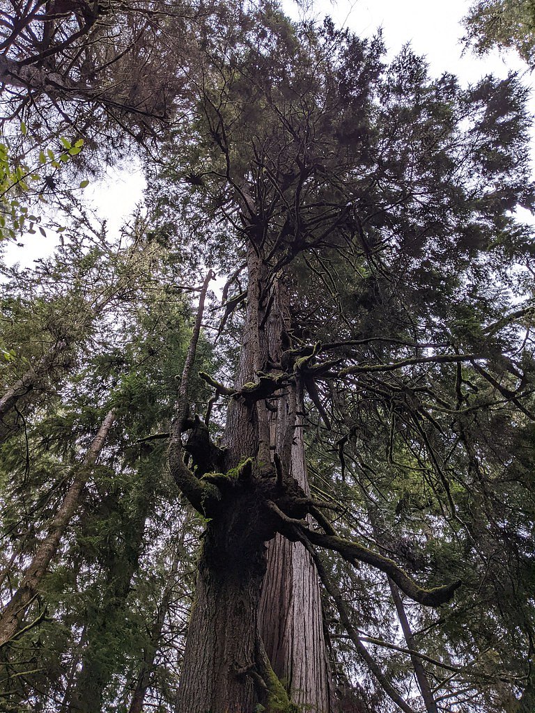
A small cascade or tiered cascade in a densely forested ravine. Flow will be strongest in late winter and spring runoff and lower in late summer and fall unless there has been recent rain. The viewing area may be limited to a single viewpoint above or beside the falls; there may not be a formal viewpoint or barrier. Surroundings are typical coastal Pacific Northwest, ferns, moss, conifers, and damp undergrowth. Expect limited facilities, limited signage, and possible muddy/slippery approaches.
Accessibility
The trail is not wheelchair accessible. Uneven terrain and elevation changes require steady footing.
Frequently Asked Questions
🐶 Are Dogs Allowed at Sandcut Falls?
❌ Dogs are not allowed
Are There Any Fees or Permits Required?
🆖 No fees required
🏊 Is There Swimming at Sandcut Falls?
❌ Swimming is not allowed
When to Visit
Late winter through spring for strongest flows; late spring to early summer for good combination of flow and safer trail conditions. Summer may offer easier road access but lower water flow. Avoid winter storms and heavy rains which can make forest roads impassable and trails hazardous.
Seasonal Access
The best time to visit is Spring, Summer, and Fall. Winter access may be limited. Check with the managing park or local authority for current conditions.
Safety Information
• Trails and approaches may be unmaintained and slippery, use caution near edges and on wet rocks. • Limited cell service and remote location, tell someone your plan and expected return time. • Road access may include gravel or gated forest roads, check local conditions and respect gates and private property. • Weather can change quickly on the coast; bring rain gear and be prepared for wind and cold. • If visiting during or after heavy rain, expect higher flows, stronger currents, and increased risk of falling trees or landslides in steep ravines.
Current Water Conditions
0.0 m³/s
Current discharge — how much water is flowing
About average for this time of year
Based on 29 years of record
0.30 m
Water depth at gauge
7-Day Discharge Trend
What does this mean for your visit?
Flow is about average for this time of year.
About This Gauge
This gauge is on a nearby waterway and may not reflect exact conditions at the falls.
7-Day Flow Outlook
Based on the WSC gauge GARBAGE CREEK NEAR THE MOUTH (20 km away).
Today
Moderate
0.0 m³/s
6/10Tomorrow
Moderate
0.0 m³/s
6/10Tue
Moderate
0.0 m³/s
6/10Wed
Moderate
0.0 m³/s
6/10Thu
Moderate
0.0 m³/s
6/10Fri
Moderate
0.0 m³/s
6/10Sat
Moderate
0.0 m³/s
6/10Best window: Today — moderate flow, cloudy (trip score 6/10).
Best time of year: this gauge typically runs highest from mid November to early December, peaking in January.
How we calculate this
This is a transparent outlook, not a precise forecast. We take the waterfall's current flow strength (how it ranks against its historical normal for today, from the nearest WSC stream gauge), carry that ranking forward along the gauge's seasonal curve, and nudge it for forecast rain. Confidence is highest for the next day or two and falls further out. Always check official conditions and your own judgment before visiting — high flows can be dangerous.
Know when to go.
Get a free email alert when waterfalls near Victoria hit peak flow. We only send when conditions are worth the trip — no weekly newsletters, no spam.
Weather Forecast
Location & Access
Getting There
Approximate coordinates: 48.4126, -124.0139. From Clallam Bay, Sekiu or Neah Bay follow local secondary roads toward the west/northwest coast; last access often involves low-standard forest or logging roads and short cross-country or unmarked trail segments. Cellular coverage may be limited; use offline maps and GPS coordinates. If arriving from Neah Bay or Clallam Bay, expect a 20–35 minute drive to the general area depending on exact start point and road conditions.
Get Directions on Google MapsParking
Parking is likely limited to roadside pullouts or a small informal pullout near the trailhead or forest road. No formal parking lot or facilities are known; park clear of gates and private driveways. If unsure, turn around rather than blocking access.
Elevation
26 metres above sea level
Coordinates
48.412594° N, -124.013882° W
Visitor Tips & Gear
• Use the exact coordinates and offline maps, trailheads may be unmarked. • Wear sturdy waterproof footwear and bring trekking poles for steep or slippery sections. • There may be no cell service; carry a map, compass, or GPS device. • Avoid cliff edges and slippery rocks near the water; do not attempt technical scrambling without appropriate gear and experience. • Respect private property and forest management signs, do not cross locked gates. • Leave no trace: pack out all trash and avoid disturbing vegetation. • Check local forest/park service or county resources for current road conditions, logging activity, or temporary closures before visiting.
As an Amazon Associate, we earn from qualifying purchases.
With 1.8 km and 34 m of elevation gain, sturdy boots and trekking poles will help on this moderate trail. Sun exposure on the trail makes good sun protection a must in summer.

Polarized Sunglasses (Knockaround)
Cuts glare off the water so you actually see the falls — and your photos turn out better too.

Columbia Watertight II Rain Jacket
Packs into its own pocket, seam-sealed, and keeps you dry from spray and surprise rain.

Earth Pak Waterproof Dry Bag
Keeps your phone and gear dry when waterfall mist soaks everything else.

Waterproof Phone Pouch (AiRunTech)
Cheap insurance — take photos right next to the falls without killing your phone.

Timberland Euro Sprint Mid Waterproof
Trusted waterproof boot with premium leather and grippy rubber sole — reliable on rocky, wet trails.

TrailBuddy Trekking Poles
Lightweight aluminum, cork grips, and flip-locks that actually hold — a best-seller for good reason.
Where to Stay
Browse vacation cabins and private rentals nearby
Unique outdoor stays — tents, yurts, and treehouses
Rent a campervan or RV for your waterfall road trip
Some links are affiliate links. We may earn a commission at no extra cost to you.
Nearby Campground
The Ledge Campground
3.7 km away
Nearby Hot Springs
Hot springs near Victoria, British Columbia

Sol Duc Hot Springs
Sol Duc Hot Springs flows at 122 degrees Fahrenheit in Olympic National Park with permanently protected Class 1 status under Na...

Olympic Hot Springs
Olympic Hot Springs flows at 118 degrees within Olympic National Park at 2,000 feet elevation, emerging 72 degrees above ambien...
Looking for a soak after your hike? Explore more hot springs near Victoria, British Columbia on SoakingSprings.
Explore British Columbia springsAdditional Information
Nearby Attractions
Clallam Bay, Sekiu, and Neah Bay (Cape Flattery and the Makah Reservation area) offer coastal scenery, beaches, and viewpoints. Olympic National Park attractions are to the southeast; local coastal access and fishing spots are nearby.
Wildlife
Typical coastal Pacific Northwest wildlife: black-tailed deer, black bear, raccoons, small mammals, and coastal bird species. Ticks and slugs are common in damp forest. Be aware of potential bear and cougar activity, store food securely.
Cities near Sandcut Falls
Nearby Waterfalls
Writing about Sandcut Falls? Embed this waterfall on your site for free.