
Quarry Springs Falls
By Armen Suny · Last verified Oct 2026
Before you go
The lane east of the Fifth Avenue parking spot is a private road. You may walk it because it carries the Bruce Trail, but do not drive on it.


Photo Credits (5)
Difficulty
Moderate
Trail Length
1.6 km
Trail Type
Out And Back
About Quarry Springs Falls
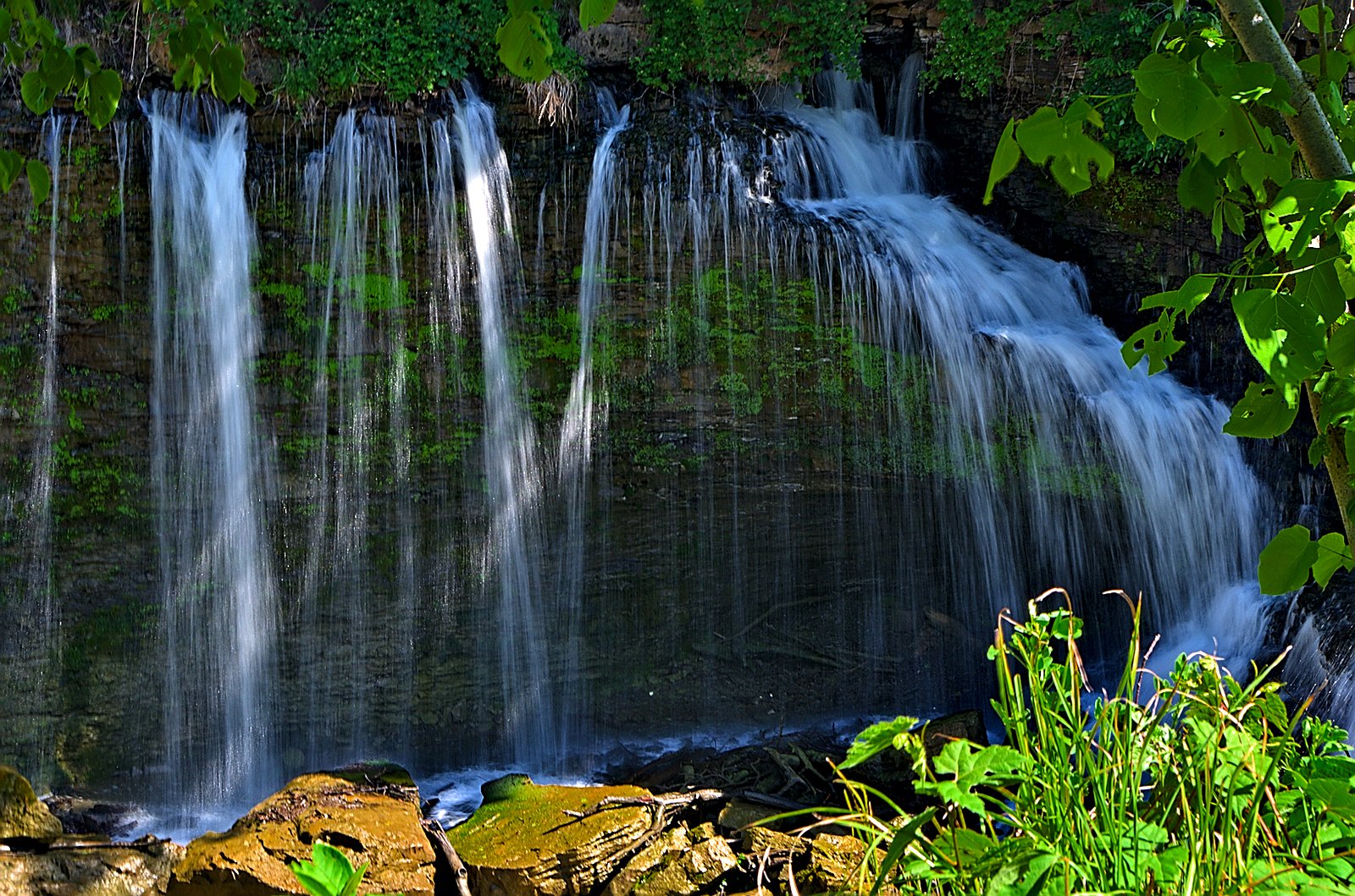
Quarry Springs Falls is a small plunge waterfall on Quarry Creek near Vineland in the Niagara Region, just off the Bruce Trail. Part of its water drains from a quarry several kilometres to the west, so the creek may flow more steadily than other small escarpment streams. It sees few visitors.
Nearby Falls Worth Visiting
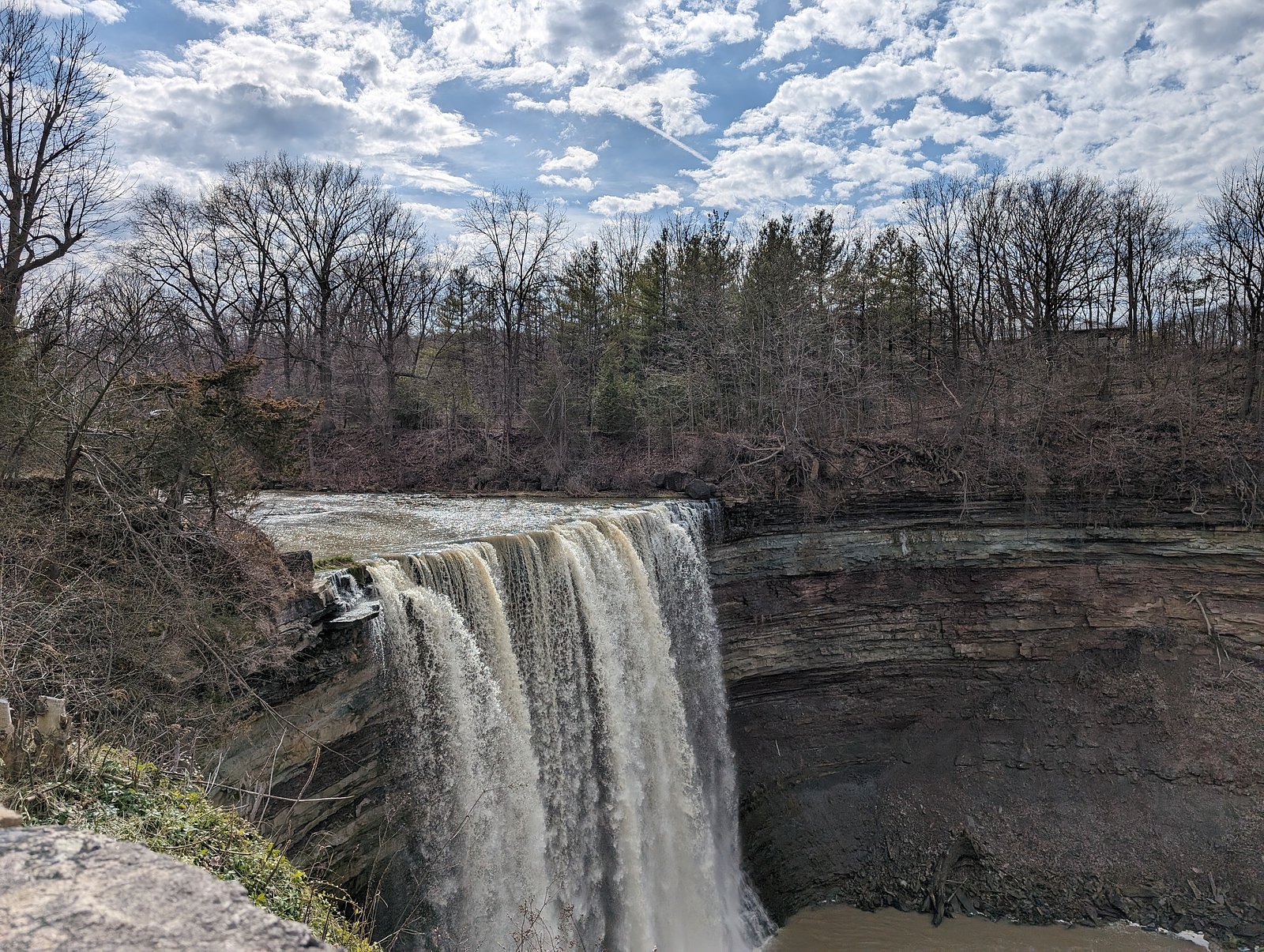
Lower Ball's Falls (27 m) lies 0.8 kilometres to the south. Also nearby: Upper Ball's Falls (11 m, 1.4 km) and Louth Falls (7 m, 3.1 km).
Trail & Hike Details
Trail Description
From the parking spot on Fifth Avenue, walk east along the gravel lane, which doubles as the Bruce Trail, then continue east on the trail into the woods. The walk is about 800 m each way, and the end of the gravel lane is about a third of the way. The path is gravel and dirt, with uneven rock at the falls, where there is a footbridge.
What to Expect
Dogs are welcome.
Accessibility
The trail is not wheelchair accessible. Uneven terrain and elevation changes require steady footing.
Frequently Asked Questions
🐶 Are Dogs Allowed at Quarry Springs Falls?
✅ Dogs are allowed
On the Bruce Trail, dogs must be leashed and under control at all times where they are permitted; a few sections do not allow dogs.
Are There Any Fees or Permits Required?
🆖 No fees required
🏊 Is There Swimming at Quarry Springs Falls?
❌ Swimming is not allowed
When to Visit
Late spring for higher flows and fuller scenery; early fall for foliage color. Summer can be pleasant but flows may be lower. Exercise caution in winter due to icy and unstable conditions.
Seasonal Access
The best time to visit is Spring, Summer, Fall, and Winter. Check with the managing park or local authority for current conditions.
Safety Information
Rock at the falls is uneven and slippery when wet, and the way down to the base is rated moderate to difficult. Ice near the falls in winter is unstable.
Current Water Conditions
These readings come from the Water Survey of Canada gauge on Twenty Mile Creek, 0.8 km away, not on Quarry Springs Falls's own stream. Use them as a sign of whether the area is running wet or dry.
0.0 m³/s
Current discharge — how much water is flowing
Lower than usual for this time of year
Based on 67 years of record
5.53 m
Water depth at gauge
7-Day Discharge Trend
What does this mean for your visit?
Flow is lower than usual for this time of year.
About This Gauge
7-Day Flow Outlook
Based on the WSC gauge TWENTY MILE CREEK AT BALLS FALLS (1 km away).
Today
Low
0.0 m³/s
5/10Tomorrow
Low
0.0 m³/s
5/10Sat
Low
0.0 m³/s
5/10Sun
Low
0.0 m³/s
5/10Mon
Low
0.0 m³/s
5/10Tue
Low
0.0 m³/s
5/10Wed
Moderate
0.0 m³/s
5/10Best window: Today — low flow, cloudy (trip score 5/10).
Best time of year: this gauge typically runs highest from mid February to late April, peaking in April.
How we calculate this
This is a transparent outlook, not a precise forecast. We take the waterfall's current flow strength (how it ranks against its historical normal for today, from the nearest WSC stream gauge), carry that ranking forward along the gauge's seasonal curve, and nudge it for forecast rain. Confidence is highest for the next day or two and falls further out. Always check official conditions and your own judgment before visiting — high flows can be dangerous.
Know when to go.
Get a free email alert when waterfalls near Hamilton hit peak flow. We only send when conditions are worth the trip — no weekly newsletters, no spam.
Weather Forecast
Location & Access
Getting There
From Victoria Avenue near Vineland, turn onto Fifth Avenue and park along the side of the road. Walk east on the lane, which is a private road that hikers may use only because it is part of the Bruce Trail.
Get Directions on Google MapsParking
Park along the side of Fifth Avenue just after turning in from Victoria Avenue. The road continuing east is privately owned, so do not drive on it.
Elevation
153 metres above sea level
Coordinates
43.140821° N, -79.381882° W
Visitor Tips & Gear
Stay on the Bruce Trail, which crosses private land by agreement with the landowner. Wear footwear with good grip for the rock at the falls. Pack out everything you bring.
Where to Stay
Browse vacation cabins and private rentals nearby
Unique outdoor stays — tents, yurts, and treehouses
Rent a campervan or RV for your waterfall road trip
Some links are affiliate links. We may earn a commission at no extra cost to you.
Nearby Campground
Shangri-La Family Campground
2.5 km away
Additional Information
Wildlife
Typical Southern Ontario woodland and riparian wildlife: white-tailed deer, raccoons, squirrels, various songbirds, waterfowl in nearby wetlands, and small amphibians. Ticks (including blacklegged ticks) are present in the region, take precautions.
Cities near Quarry Springs Falls
Nearby Waterfalls
Writing about Quarry Springs Falls? Embed this waterfall on your site for free.