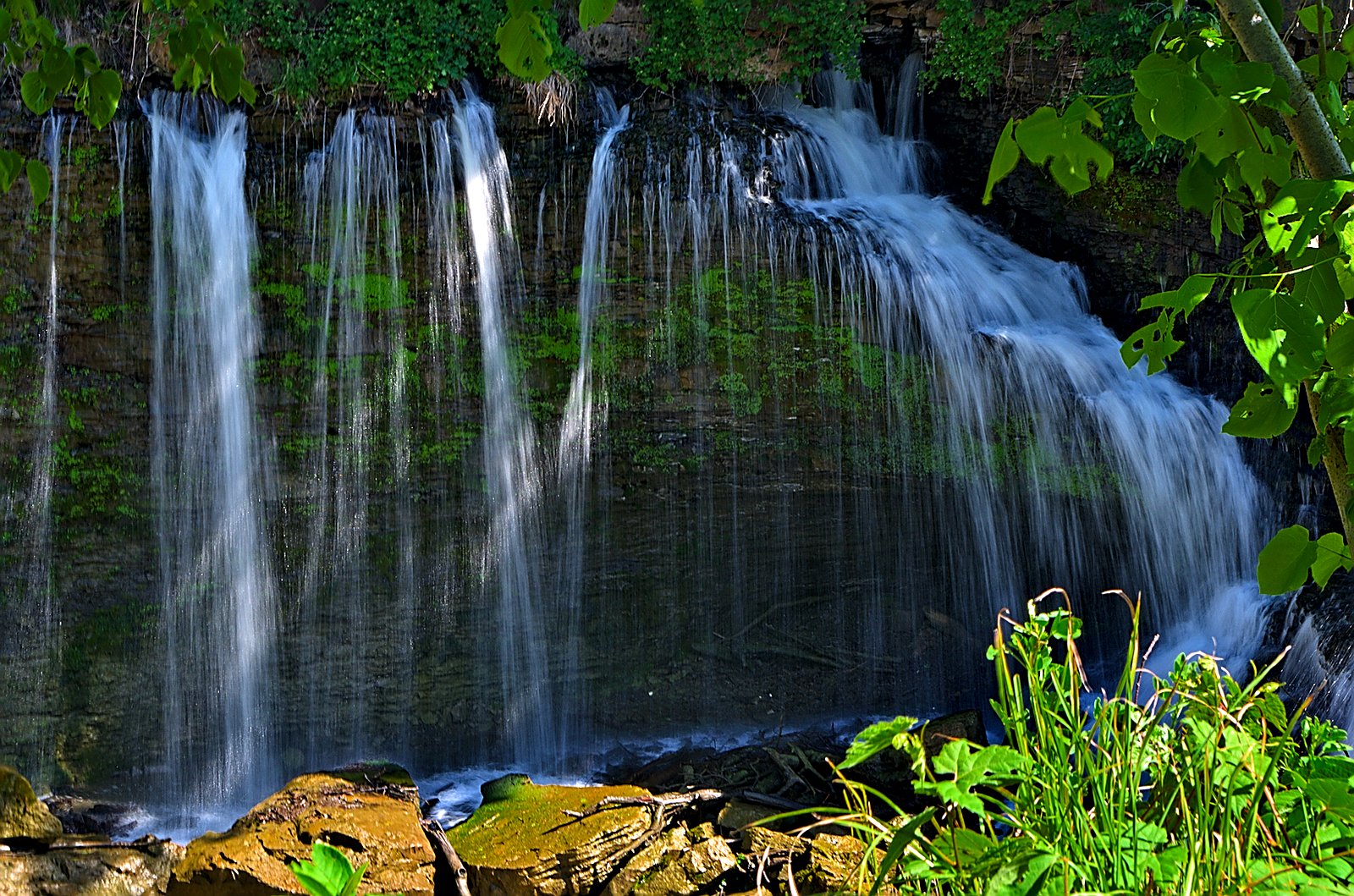
Louth Falls
Ontario • 7 m
By Armen Suny · Last verified Jun 2026

Photo Credits (4)
Difficulty
Moderate
Trail Length
2.3 km
Trail Type
Loop
Elevation Gain
60 m
About Louth Falls
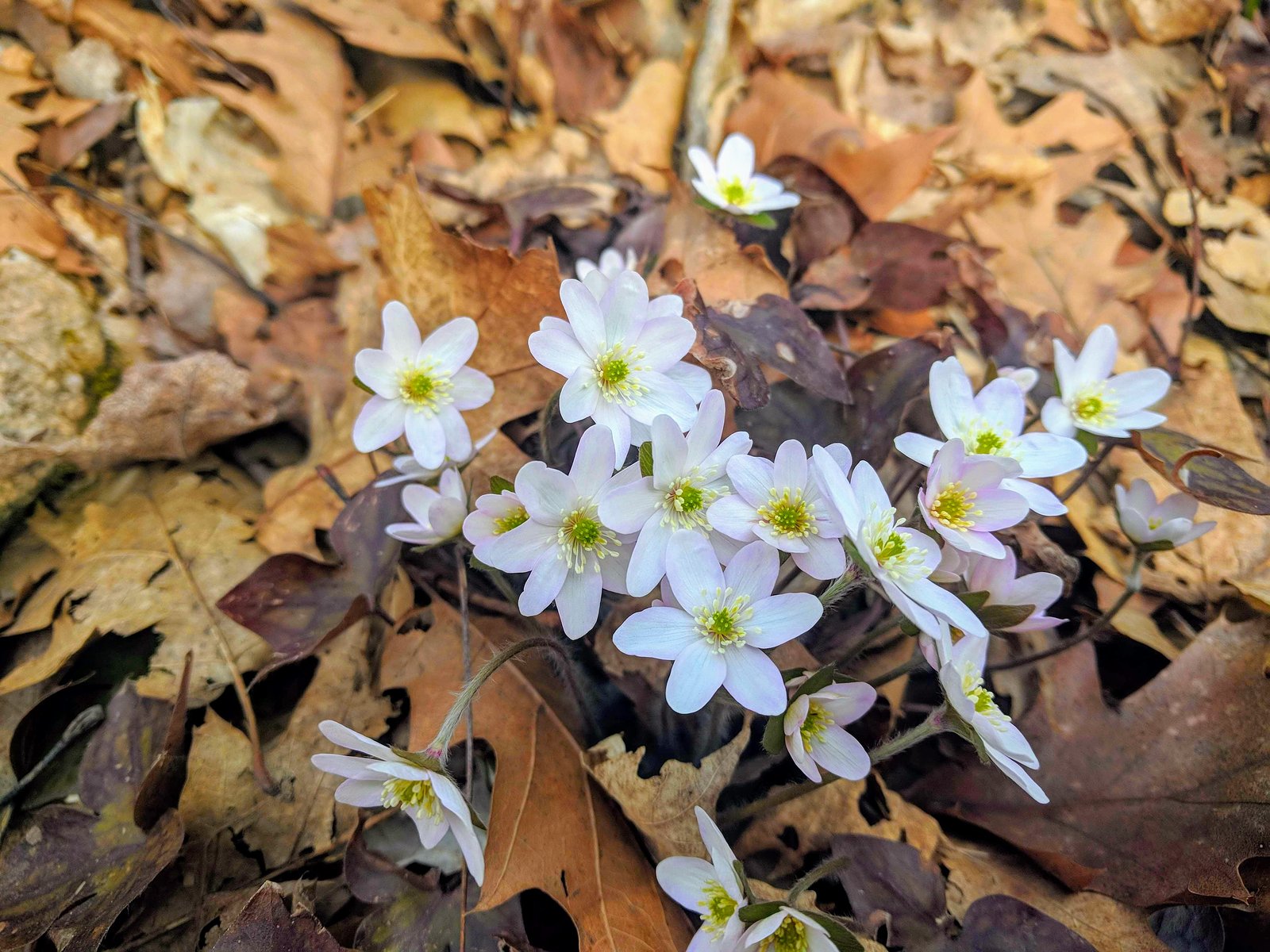
Louth Falls is a small riverine cascade in the Niagara Region of Ontario near the community of Louth / St. Catharines. It sits on a tributary in the Twelve Mile Creek watershed and is located at approximately 43.1243, -79.3509. The falls are a modest scenic feature rather than a large plunge; seasonal flow and appearance vary (typically highest in spring). Some access points are roadside with a short walk to viewing locations. Specifics such as exact vertical drop and formal conservation area status may vary by source and local signage; visitors should verify current access rules with local authorities.
The Setting
Louth Falls sits at 168 metres within Louth, in the foothills of Ontario. The falls drop 7 metres.
Height: 24 feet
Nearby Falls Worth Visiting
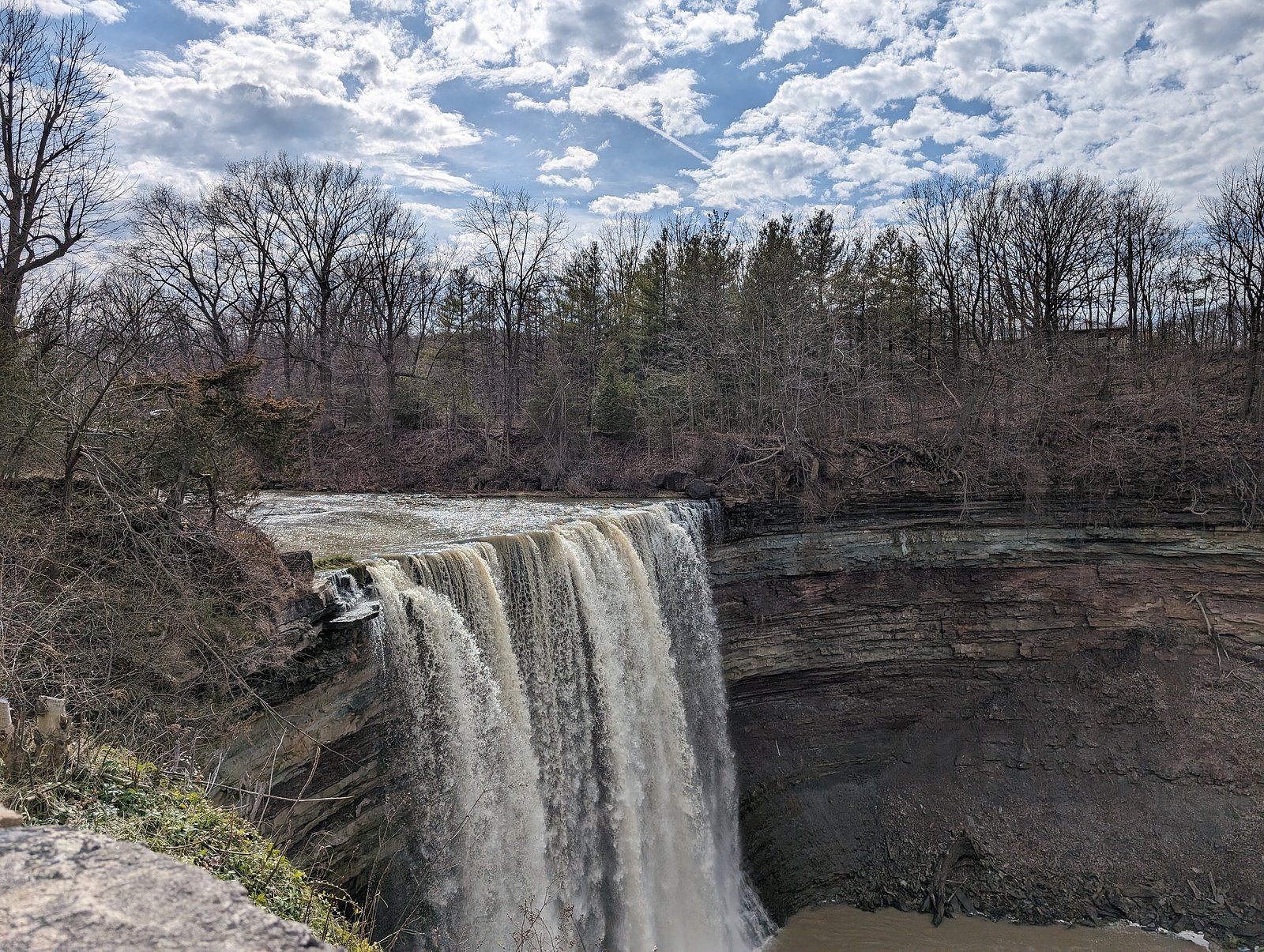
Lower Ball's Falls (27 m) lies 2.9 kilometres to the west. Also nearby: Rockway Falls (20 m, 2.7 km) and Upper Ball's Falls (11 m, 2.9 km).
Trail & Hike Details
The Approach
The moderate 2.3-km loop trail gains 60 metres of elevation on the way to the falls.
Trail Description
Access to viewing points for Louth Falls is typically a short out-and-back route from a roadside parking area or small lot. Trails may be unpaved, narrow and uneven with roots, rocks and short stair sections in places. Expect short distances (generally under 2 miles round trip) and modest elevation changes on the approach, though surface conditions can be slippery when wet or icy.
What to Expect
The falls drop a gentle 7 metres.
Accessibility
The trail is not wheelchair accessible. Uneven terrain and elevation changes require steady footing.
Frequently Asked Questions
🐶 Are Dogs Allowed at Louth Falls?
❌ Dogs are not allowed
Are There Any Fees or Permits Required?
🆖 No fees required
🏊 Is There Swimming at Louth Falls?
❌ Swimming is not allowed
When to Visit
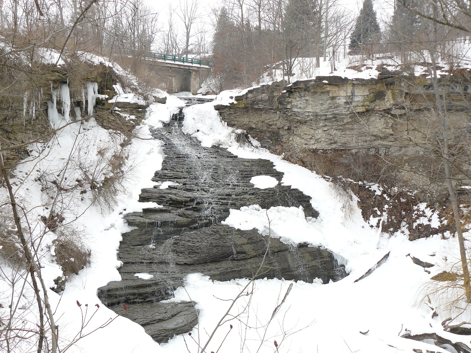
Spring for the fullest water flows and green surroundings; fall for foliage color and photography. Summer visits are pleasant for easy hiking but flows may be lower. Winter can produce ice formations and dramatic scenes but trails may be icy and hazardous, use caution and appropriate equipment.
Seasonal Access
The best time to visit is Spring, Summer, Fall, and Winter. Check with the managing park or local authority for current conditions.
Safety Information
Hazards include slippery wet or icy rocks, steep or unstable banks, sudden high flows after rain, cold water temperature, and falling from ledges. Keep clear of the edge, supervise children closely, avoid swimming unless a designated safe area exists, and check conditions after heavy rain or during freeze-thaw cycles. Carry a charged phone and tell someone your plans if hiking alone.
Current Water Conditions
0.2 m³/s
Current discharge — how much water is flowing
Higher than usual for this time of year
Based on 67 years of record
5.57 m
Water depth at gauge
7-Day Discharge Trend
What does this mean for your visit?
The water is flowing higher than usual for this time of year.
About This Gauge
7-Day Flow Outlook
Based on the WSC gauge TWENTY MILE CREEK AT BALLS FALLS (3 km away).
Today
Strong
0.2 m³/s
9/10Tomorrow
Strong
0.3 m³/s
9/10Tue
Roaring
0.3 m³/s
6/10Wed
Roaring
0.2 m³/s
6/10Thu
Strong
0.2 m³/s
9/10Fri
Strong
0.2 m³/s
8/10Sat
Roaring
0.1 m³/s
6/10Best window: Today — strong flow, cloudy (trip score 9/10).
Best time of year: this gauge typically runs highest from mid February to late April, peaking in April.
How we calculate this
This is a transparent outlook, not a precise forecast. We take the waterfall's current flow strength (how it ranks against its historical normal for today, from the nearest WSC stream gauge), carry that ranking forward along the gauge's seasonal curve, and nudge it for forecast rain. Confidence is highest for the next day or two and falls further out. Always check official conditions and your own judgment before visiting — high flows can be dangerous.
Know when to go.
Get a free email alert when waterfalls near Hamilton hit peak flow. We only send when conditions are worth the trip — no weekly newsletters, no spam.
Weather Forecast
Location & Access
Getting There
The falls are located in the Louth / St. Catharines area of Niagara Region (coordinates 43.1243, -79.3509). Approaches are typically by local township or municipal roads; parking is often roadside or in a small informal lot near the access path. Use the coordinates or a local map app to navigate to the nearest public road access point and look for trail or access signage. Nearby reference points include Niagara University (~14.0 miles), Niagara Falls (~15.8 miles) and Youngstown (~19.1 miles).
Get Directions on Google MapsParking
Parking is typically limited and may be roadside or a small gravel lot. There may not be a formal large parking area; do not block driveways or private property. Expect limited signage and no staffed facilities.
Elevation
168 metres above sea level
Coordinates
43.124267° N, -79.350895° W
Land Management
Managed by Niagara Peninsula Conservation Authority
Visitor Tips & Gear
• Use a map app and the coordinates to find the official access point; avoid crossing private property. • Wear sturdy shoes with good traction, rocks and banks are slippery, especially when wet or icy. • Bring insect repellent in warm months (ticks and mosquitoes can be present). • Pack out all trash and follow Leave No Trace principles. • Exercise caution on stream banks and do not climb on unstable ledges. • If unsure about access or safety, contact the local municipality or conservation authority before visiting.
As an Amazon Associate, we earn from qualifying purchases.
With 2.3 km and 60 m of elevation gain, sturdy boots and trekking poles will help on this moderate trail. Icy conditions are common in winter — traction cleats are a smart addition.

Columbia Watertight II Rain Jacket
Packs into its own pocket, seam-sealed, and keeps you dry from spray and surprise rain.

Polarized Sunglasses (Knockaround)
Cuts glare off the water so you actually see the falls — and your photos turn out better too.

Earth Pak Waterproof Dry Bag
Keeps your phone and gear dry when waterfall mist soaks everything else.

Waterproof Phone Pouch (AiRunTech)
Cheap insurance — take photos right next to the falls without killing your phone.

Timberland Euro Sprint Mid Waterproof
Trusted waterproof boot with premium leather and grippy rubber sole — reliable on rocky, wet trails.

TrailBuddy Trekking Poles
Lightweight aluminum, cork grips, and flip-locks that actually hold — a best-seller for good reason.
Where to Stay
Browse vacation cabins and private rentals nearby
Unique outdoor stays — tents, yurts, and treehouses
Rent a campervan or RV for your waterfall road trip
Some links are affiliate links. We may earn a commission at no extra cost to you.
Nearby Campground
Shangri-La Family Campground
0.8 km away
Additional Information
Nearby Attractions
Niagara Falls (~15.8 miles), Niagara University (~14.0 miles), St. Catharines downtown and waterfront, local wineries of Niagara-on-the-Lake region. Short drives to other regional scenic areas and conservation lands.
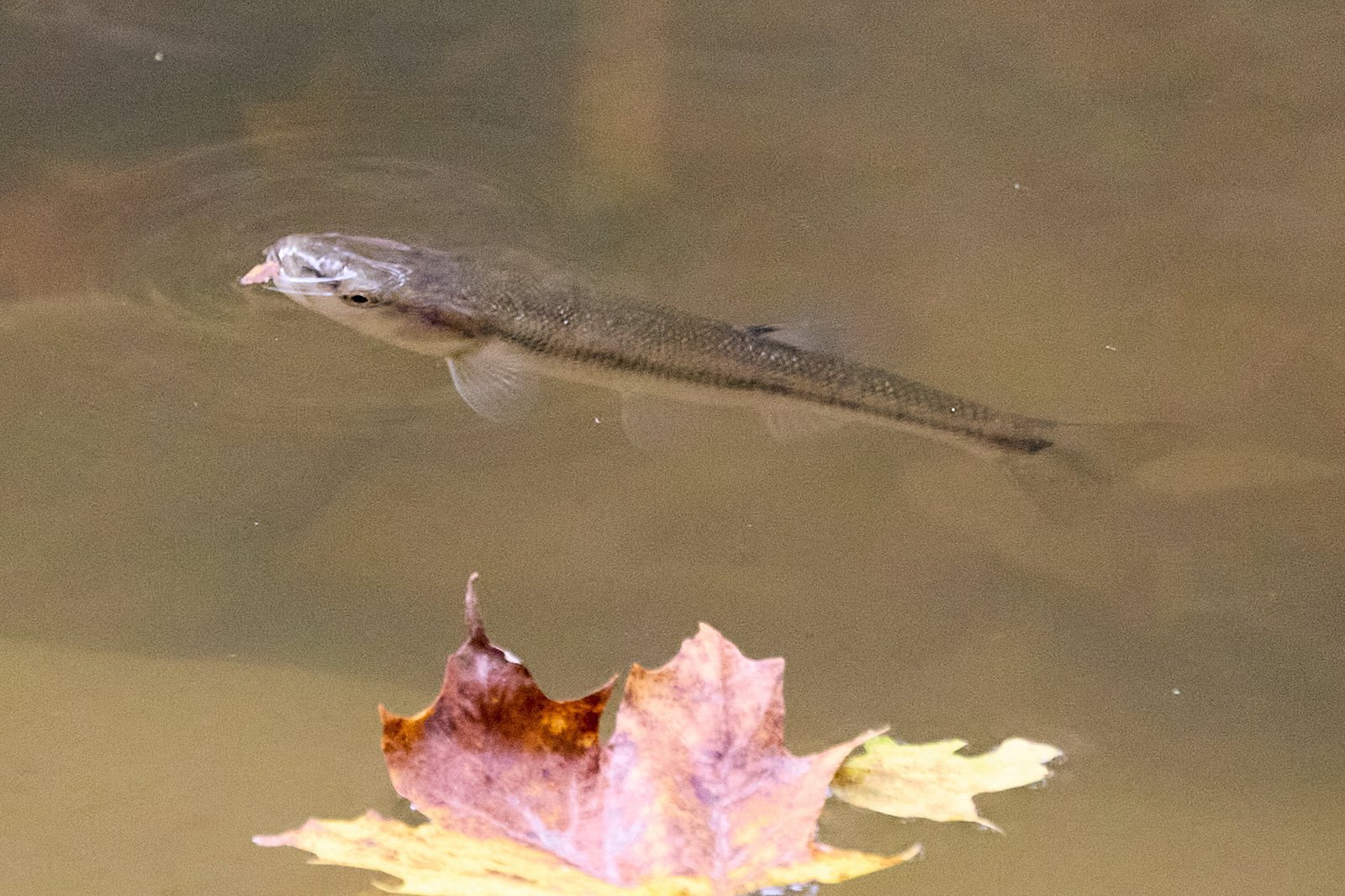
Wildlife
Typical Niagara Region species: white-tailed deer, raccoons, squirrels, various songbirds, waterfowl, and amphibians. Ticks and poison ivy may be present, take usual precautions.
Cities near Louth Falls
Nearby Waterfalls
Writing about Louth Falls? Embed this waterfall on your site for free.