Photo Credits (5)
Difficulty
Easy
Trail Length
0.6 km
Trail Type
Out And Back
Elevation Gain
15 m
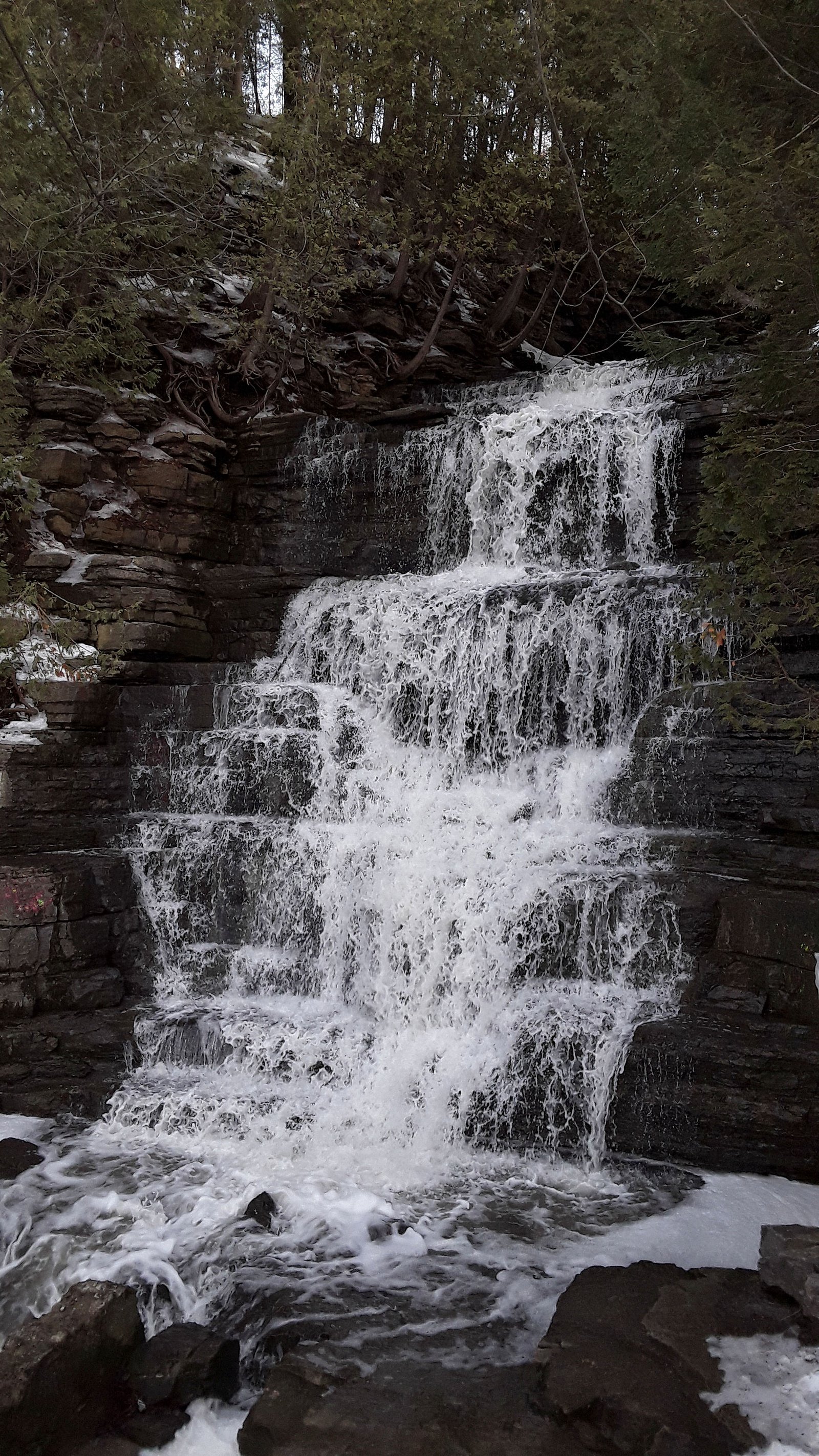
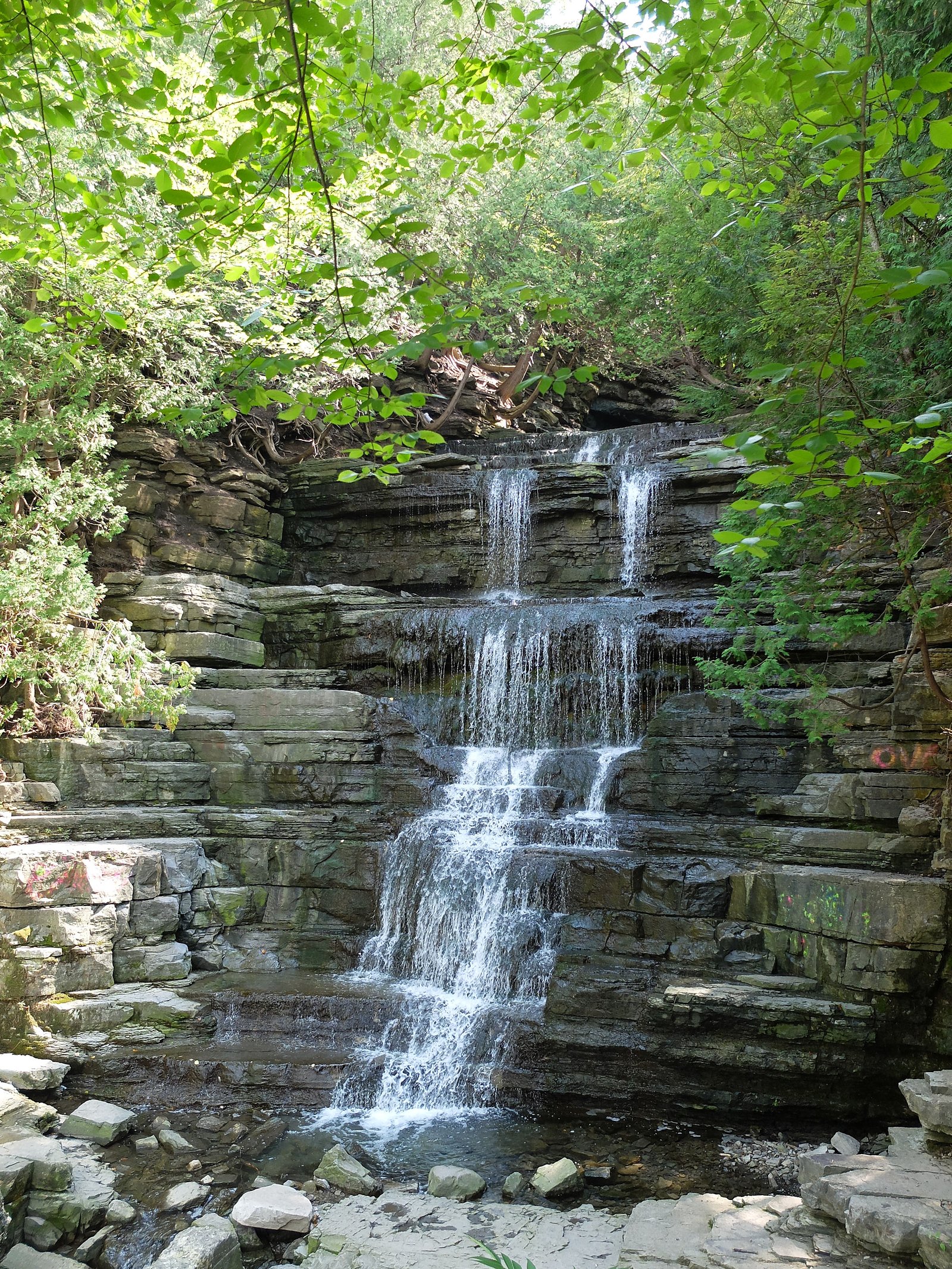
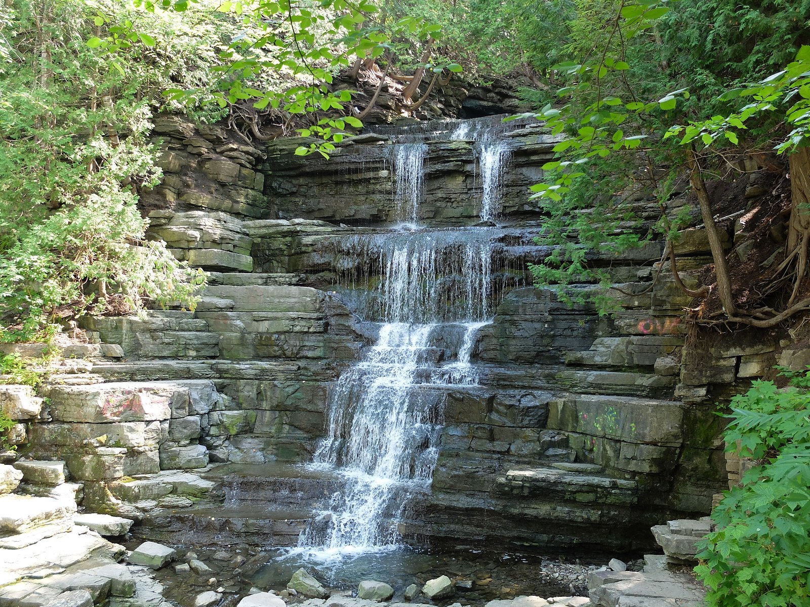
About Princess Louise Falls
Princess Louise Falls is a small, scenic waterfall in eastern Ontario (coords 45.4867, -75.4906) reachable from the Ottawa region. It appears as a short drop on a local stream/river and is most notable for good spring runoff and attractive autumn colours. Specific historic or geological information is limited; the site is typically visited as a short roadside or short-hike scenic stop rather than a destination requiring a long hike.
Why This Waterfall Exists
Princess Louise Falls flows over Chazy Group; Rockcliffe Formation, a layered carbonate rock layer deposited about 458-470 million years ago. These soft rocks erode readily, allowing the stream to carve a vertical drop into the landscape.
Nearby Falls Worth Visiting
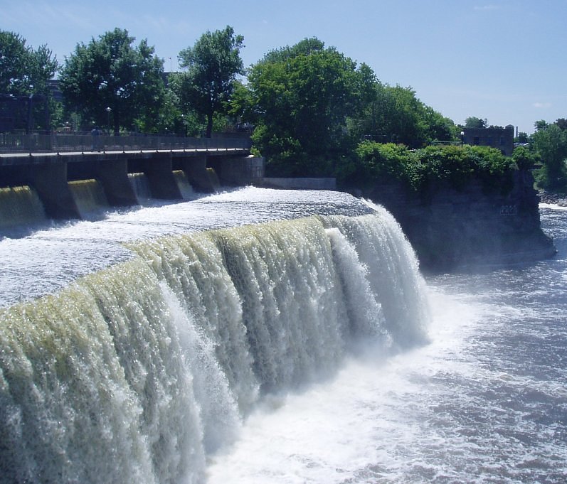
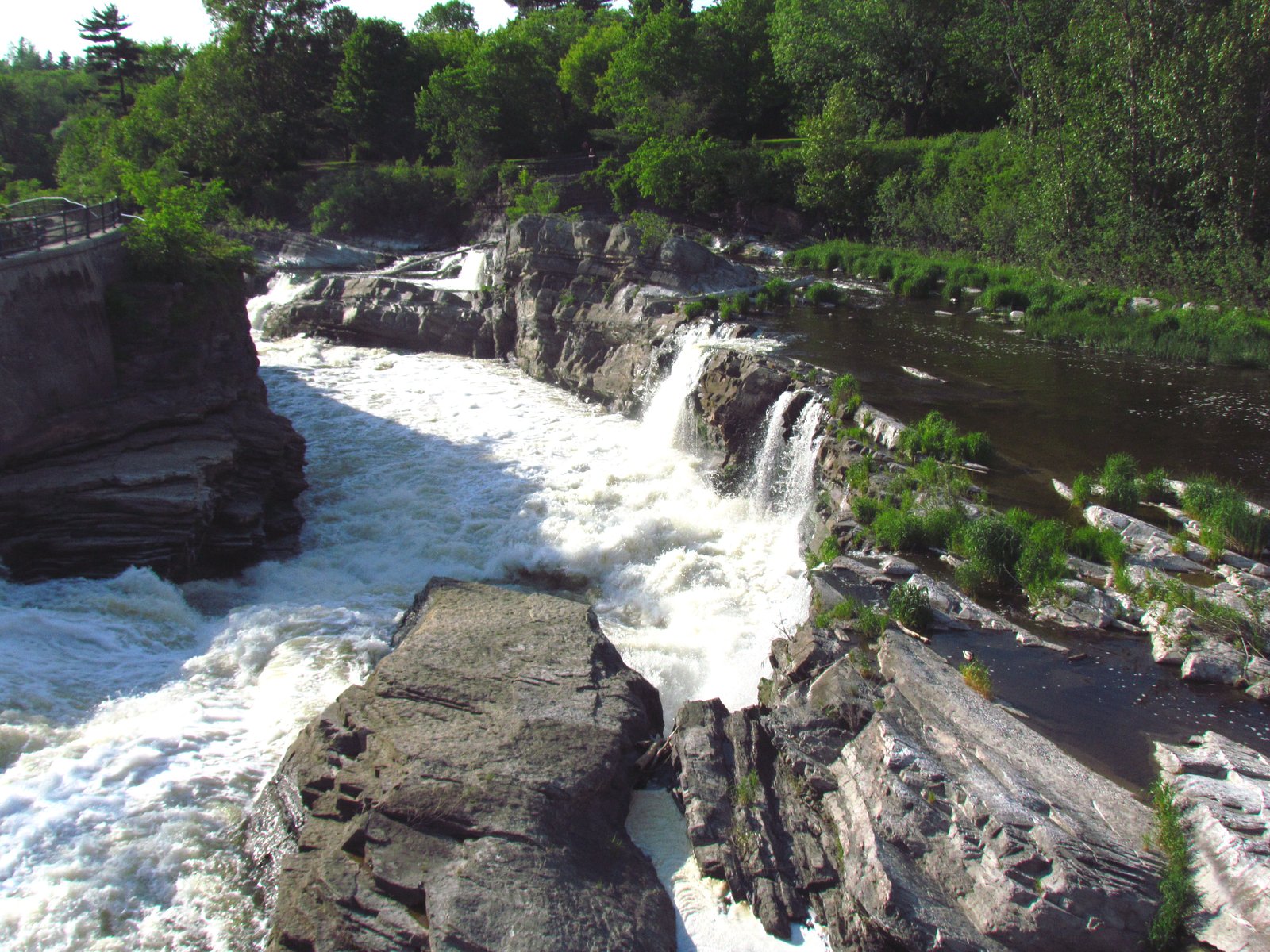
Hog's Back Falls (18 m) lies 20.6 kilometres to the southwest. Also nearby: Rideau Falls (11 m, 16.7 km).
Trail & Hike Details
The Approach
The easy 0.6-km out-and-back trail gains 15 metres of elevation on the way to the falls.
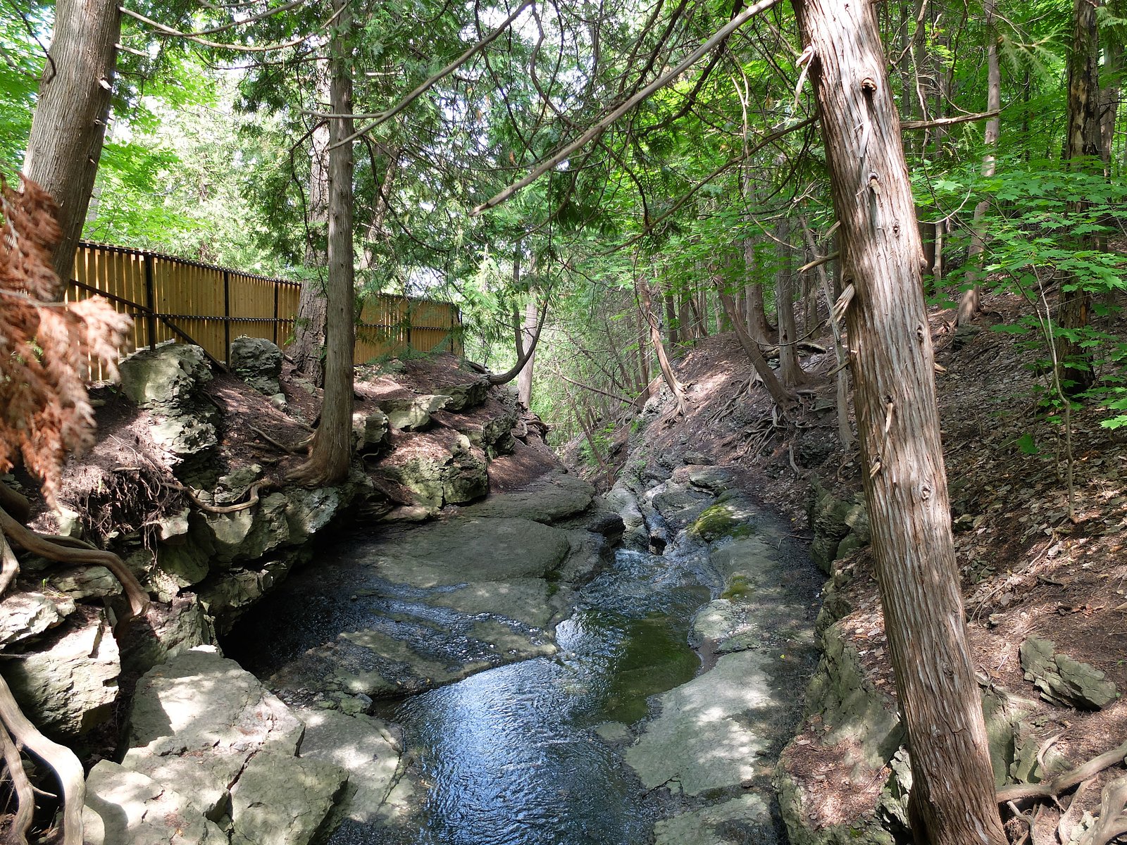
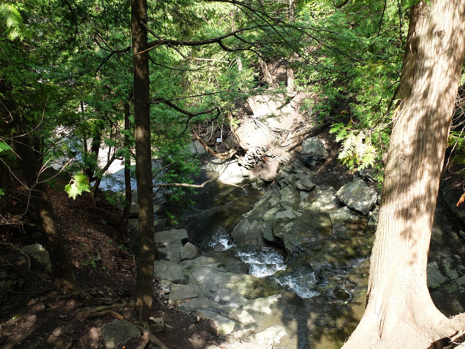
Trail Description
The approach to Princess Louise Falls is typically a short walk from a roadside pullout. The trail, where present, is likely narrow, may be unmarked, and runs through mixed forest with roots and rocks. Surfaces can be muddy or slippery after rain. There may be informal viewpoints; infrastructure (boardwalks, railings) is not guaranteed.
What to Expect
A modest waterfall (small drop) set in a wooded setting. Best water flow is usually in spring after snowmelt and during wet periods. Expect a short, possibly unmaintained path, uneven footing, and limited facilities (no restrooms, picnic tables, or visitor center). Crowds are typically light compared with major provincial parks.
Accessibility
The trail is short and relatively flat, but the surface may be uneven. Contact the managing agency for accessibility details.
Frequently Asked Questions
🐶 Are Dogs Allowed at Princess Louise Falls?
❌ Dogs are not allowed
Are There Any Fees or Permits Required?
🆖 No fees required
🏊 Is There Swimming at Princess Louise Falls?
❌ Swimming is not allowed
When to Visit
Spring (high water flow) and fall (colour) are often the most scenic. Winter can offer ice formations but brings icy, hazardous conditions on trails and at the falls; only visit in winter if properly equipped and experienced.
Seasonal Access
The best time to visit is Spring, Summer, Fall, and Winter. Check with the managing park or local authority for current conditions.
Safety Information
Hazards include slippery wet rocks, unstable edges, fast or cold water, and potentially steep or eroded banks. In winter, ice near the falls can be brittle and dangerous. Cell reception may be limited in rural areas, tell someone your plan and expected return time. Follow posted signs and stay on established paths. If conditions are unclear, consult local conservation authorities or recent visitor reports before visiting.
Current Water Conditions
0.1 m³/s
Current discharge — how much water is flowing
6.66 m
Water depth at gauge
7-Day Discharge Trend
About This Gauge
This gauge is on a nearby waterway and may not reflect exact conditions at the falls.
7-Day Flow Outlook
Based on the WSC gauge BECKETTS CREEK NEAR CUMBERLAND ESTATES (11 km away).
Today
Moderate
0.1 m³/s
9/10Tomorrow
Moderate
0.1 m³/s
8/10Tue
Moderate
0.1 m³/s
6/10Wed
Moderate
0.1 m³/s
6/10Thu
Moderate
0.1 m³/s
8/10Fri
Moderate
0.1 m³/s
6/10Sat
Moderate
0.1 m³/s
6/10Best window: Today — moderate flow, mainly sunny (trip score 9/10).
How we calculate this
This is a transparent outlook, not a precise forecast. We take the waterfall's current flow strength (how it ranks against its historical normal for today, from the nearest WSC stream gauge), carry that ranking forward along the gauge's seasonal curve, and nudge it for forecast rain. Confidence is highest for the next day or two and falls further out. Always check official conditions and your own judgment before visiting — high flows can be dangerous.
Know when to go.
Get a free email alert when waterfalls near Ottawa hit peak flow. We only send when conditions are worth the trip — no weekly newsletters, no spam.
Weather Forecast
Location & Access
Getting There
Access is from local roads off the main highways east of Ottawa. The falls are roughly 12 miles from central Ottawa, ~55 miles from Cornwall and ~60 miles from Akwesasne. Exact driving directions depend on the local road network; use the coordinates (45.4867, -75.4906) in a GPS or mapping app to reach the nearest parking/roadside pullout.
Get Directions on Google MapsParking
Parking is likely limited to a small roadside pullout or informal lot near the access point. Expect unpaved or gravel parking; there may not be official maintained parking. Park safely off the roadway and avoid blocking local traffic.
Elevation
55 metres above sea level
Coordinates
45.486748° N, -75.490641° W
Visitor Tips & Gear
1) Use a GPS or mapping app with the coordinates to find the exact access point. 2) Wear sturdy, waterproof footwear; trails can be muddy and slippery. 3) Stay back from the lip and avoid scrambling on wet rocks, edges can be unstable. 4) Leave no trace: pack out trash. 5) Check recent local trip reports or community sites (AllTrails, regional conservation authorities) for current conditions before visiting.
As an Amazon Associate, we earn from qualifying purchases.
For this easy 0.6 km trail, lightweight trail shoes and a water bottle are usually sufficient. Icy conditions are common in winter — traction cleats are a smart addition.

Columbia Watertight II Rain Jacket
Packs into its own pocket, seam-sealed, and keeps you dry from spray and surprise rain.

Polarized Sunglasses (Knockaround)
Cuts glare off the water so you actually see the falls — and your photos turn out better too.

Earth Pak Waterproof Dry Bag
Keeps your phone and gear dry when waterfall mist soaks everything else.

Waterproof Phone Pouch (AiRunTech)
Cheap insurance — take photos right next to the falls without killing your phone.

Kahtoola MICROspikes
Cult-favorite traction cleats that grip ice and wet rock — essential for winter waterfall hikes.

JOBY GorillaPod Starter Kit
Wraps around railings and rocks for long-exposure waterfall shots — no flat surface needed.
Where to Stay
Browse vacation cabins and private rentals nearby
Unique outdoor stays — tents, yurts, and treehouses
Rent a campervan or RV for your waterfall road trip
Some links are affiliate links. We may earn a commission at no extra cost to you.
Nearby Campground
Recreationland Campground
12.8 km away
Additional Information
Nearby Attractions
Nearest major centre: Ottawa (~12.3 miles). Other regional places: Cornwall (~55 miles) and Akwesasne (~60.4 miles). There may be local conservation areas, riverside parks, and scenic drives in the surrounding region, check regional tourism resources for specifics.
Wildlife
Typical eastern Ontario wildlife may be present: white-tailed deer, small mammals (squirrels, raccoons), songbirds, and seasonal insects. Be aware of ticks in the warmer months and black flies in spring/early summer.
Cities near Princess Louise Falls
Nearby Waterfalls
Writing about Princess Louise Falls? Embed this waterfall on your site for free.