One Eye Falls
By Armen Suny · Last verified Jun 2026
About One Eye Falls
One Eye Falls is a relatively remote waterfall in coastal British Columbia near the Sunshine Coast / Powell River region (coordinates: 50.1916, -123.8014). It appears to be a smaller, single-drop or multi-step waterfall set on a forested creek or river. Detailed published guidebook or official park descriptions are limited, so route and feature descriptions below are based on typical conditions for remote coastal-BC falls and recent visitor reports for similar sites in the Powell River area. Access may require travel on secondary/forestry roads and an unmaintained trail or short scramble to a viewpoint.
Why This Waterfall Exists
One Eye Falls flows over hard intrusive rock laid down about 66-145 million years ago. These resistant rocks form a durable ledge that water cannot easily wear away, creating the falls where softer material downstream has already eroded.
Nearby Falls Worth Visiting
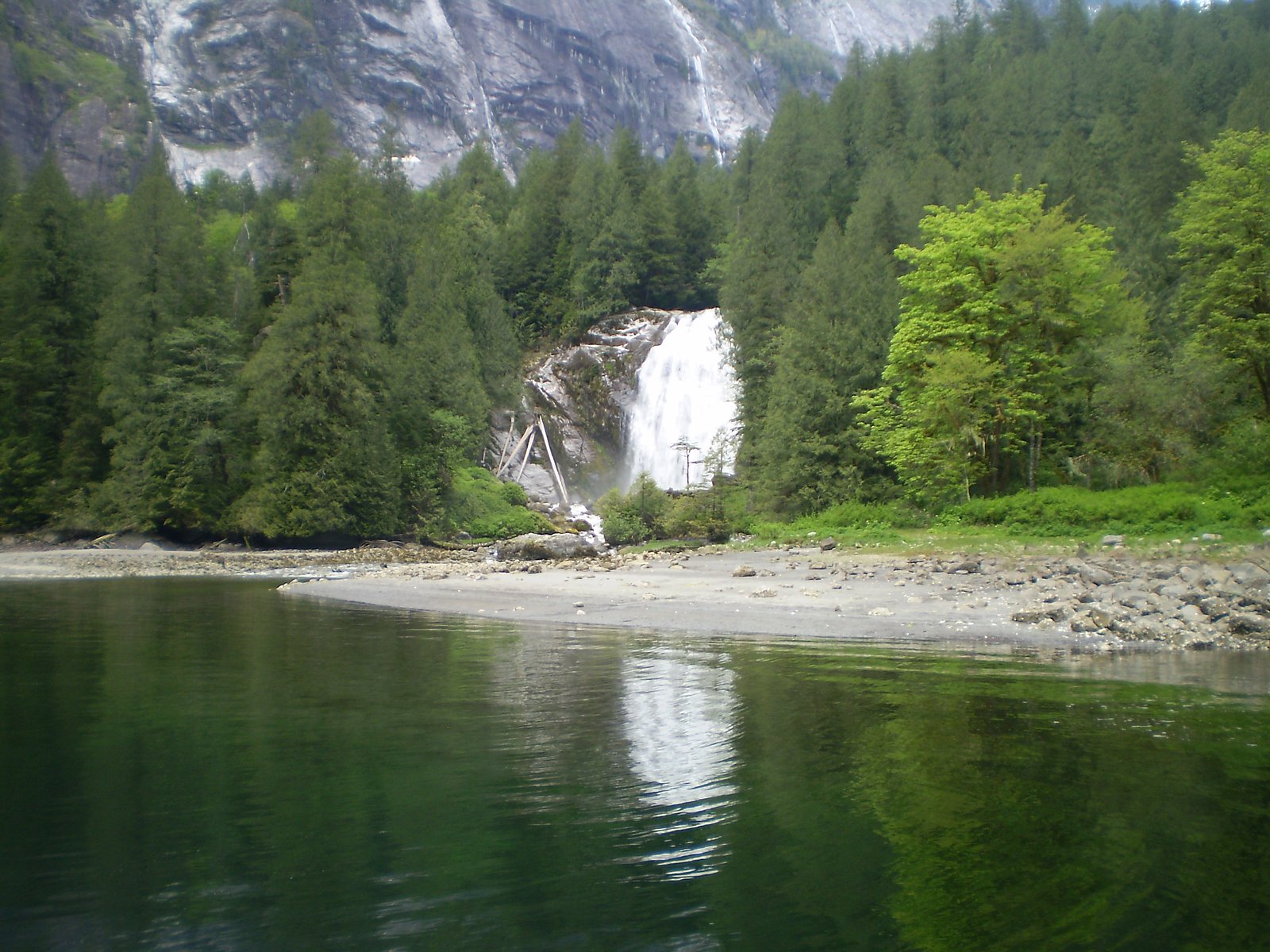
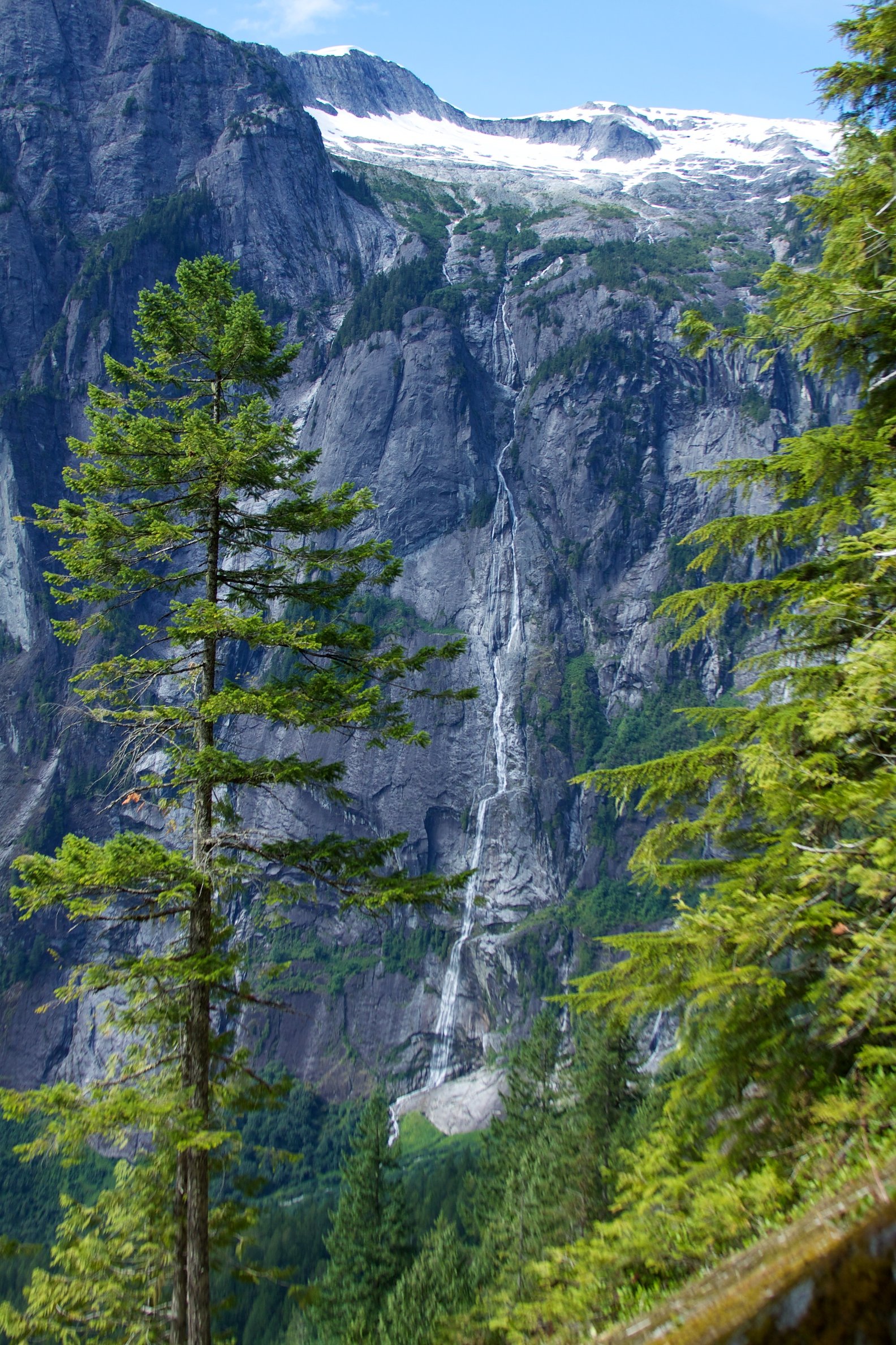
James Bruce Falls, the tallest waterfall in British Columbia at 840 metres, lies 3.4 kilometres to the northeast. Also nearby: Chatterbox Falls (37 m, 2.7 km).
Trail & Hike Details
Trail Description
Reported approaches to small, remote waterfalls in this region typically involve following a short spur trail or descending a steep, unmaintained bank to the creek. Expect rooty, muddy, and possibly steep terrain with sections of loose rock. Trails may be poorly marked or non-existent in places; route-finding skills and footwear with good traction are recommended. Because authoritative trail descriptions for One Eye Falls are not widely published, assume the approach is rugged and not developed.
What to Expect
A secluded, forested setting, likely with limited visitor infrastructure (no boardwalks, railings, or toilets). Water flow will be highest in spring and after heavy rain; summer flows may be reduced. Views may be from a single upstream or downstream vantage point; getting to the creek edge may require scrambling. Cell service may be intermittent or absent. No official viewing platforms or safety barriers are expected.
Accessibility
Likely not accessible for people with limited mobility. Expect unmaintained, steep, or uneven terrain; no developed facilities or wheelchair-accessible viewpoints anticipated.
Frequently Asked Questions
🐶 Are Dogs Allowed at One Eye Falls?
❌ Dogs are not allowed
Are There Any Fees or Permits Required?
🆖 No fees required
🏊 Is There Swimming at One Eye Falls?
❌ Swimming is not allowed
When to Visit
Late spring (snowmelt and seasonal rains) for the fullest flow and good photographic opportunities. Early summer and fall are generally better for drier, safer trail conditions. Winter may bring icy conditions, poor access, or closures on forestry roads, use caution.
Seasonal Access
The best time to visit is Spring, Summer, Fall, and Winter. Check with the managing park or local authority for current conditions.
Safety Information
Hazards can include slippery rocks, steep or unstable banks, sudden changes in water flow after heavy rain, limited or no cell service, and seasonal logging traffic. Wear appropriate footwear, keep a safe distance from edges, avoid cliff-top routes, and do not attempt technical climbs without proper gear and experience. Check local conditions, let someone know your plans, and carry emergency supplies. If bears are present in the area, carry bear spray and know how to use it.
Current Water Conditions
These readings come from the Water Survey of Canada gauge on Elaho River, 27.9 km away, not on One Eye Falls's own stream. Use them as a sign of whether the area is running wet or dry.
30.2 m³/s
Current discharge — how much water is flowing
Much lower than usual for this time of year
Based on 44 years of record
2.94 m
Water depth at gauge
7-Day Discharge Trend
What does this mean for your visit?
Flow is well below normal for this time of year, so the waterfall may be a trickle.
About This Gauge
This gauge is on a regional waterway. Conditions at the falls may differ, especially after local rain.
7-Day Flow Outlook
Based on the WSC gauge ELAHO RIVER NEAR THE MOUTH (28 km away).
Today
Barely Flowing
30 m³/s
4/10Tomorrow
Barely Flowing
29 m³/s
4/10Sat
Barely Flowing
28 m³/s
3/10Sun
Low
28 m³/s
4/10Mon
Barely Flowing
33 m³/s
4/10Tue
Barely Flowing
31 m³/s
4/10Wed
Barely Flowing
31 m³/s
4/10Best window: Today — barely flowing flow, cloudy (trip score 4/10).
Best time of year: this gauge typically runs highest from late May to mid August, peaking in July.
How we calculate this
This is a transparent outlook, not a precise forecast. We take the waterfall's current flow strength (how it ranks against its historical normal for today, from the nearest WSC stream gauge), carry that ranking forward along the gauge's seasonal curve, and nudge it for forecast rain. Confidence is highest for the next day or two and falls further out. Always check official conditions and your own judgment before visiting — high flows can be dangerous.
Know when to go.
Get a free email alert when waterfalls near Powell River hit peak flow. We only send when conditions are worth the trip — no weekly newsletters, no spam.
Weather Forecast
Location & Access
Getting There
The waterfall is located at 50.1916 N, -123.8014 W. The nearest significant service centre is Powell River (roughly 45–50 miles by road/boat depending on route). Expect to travel on paved highways followed by secondary/forestry roads; the final approach may be on unmarked or gated logging roads. Visitors should research recent road conditions and access restrictions before travelling and consider contacting local visitor centres or forestry offices to confirm public access.
Get Directions on Google MapsParking
There is likely no formal parking lot. Parking may be limited to small roadside pullouts on a secondary road. Park well off the travel lane, avoid blocking gates or driveways, and follow posted signage. In some seasons roads may be gated for logging or private use.
Elevation
168 metres above sea level
Coordinates
50.191566° N, -123.801393° W
Visitor Tips & Gear
1) Confirm access with local authorities or recent trip reports before driving forestry roads. 2) Wear sturdy waterproof hiking boots and bring a hiking pole for balance on steep or muddy slopes. 3) Pack out all trash; there are likely no facilities. 4) Be cautious of private property and logging operations, observe signage and do not block gates. 5) Avoid getting too close to the top or edge of the falls, wet rock can be very slippery.
Where to Stay
Browse vacation cabins and private rentals nearby
Unique outdoor stays — tents, yurts, and treehouses
Rent a campervan or RV for your waterfall road trip
Some links are affiliate links. We may earn a commission at no extra cost to you.
Nearby Campground
Macdonald Island
0.5 km away
Additional Information
Nearby Attractions
Nearest significant service centre: Powell River (roughly 45–50 miles). The broader region includes coastal inlets, marine parks (boat access), hiking on the Sunshine Coast, and local provincial parks, confirm specific nearby attractions with regional tourism resources.
Wildlife
Coastal British Columbia wildlife may include black bears, cougars, deer, small mammals, and waterfowl. Ticks can be present in warm months. Practice bear-aware behaviour and store food securely.
Cities near One Eye Falls
Nearby Waterfalls
Writing about One Eye Falls? Embed this waterfall on your site for free.