Difficulty
Moderate
Trail Length
6.0 km
Trail Type
Out And Back
About Mosher Falls
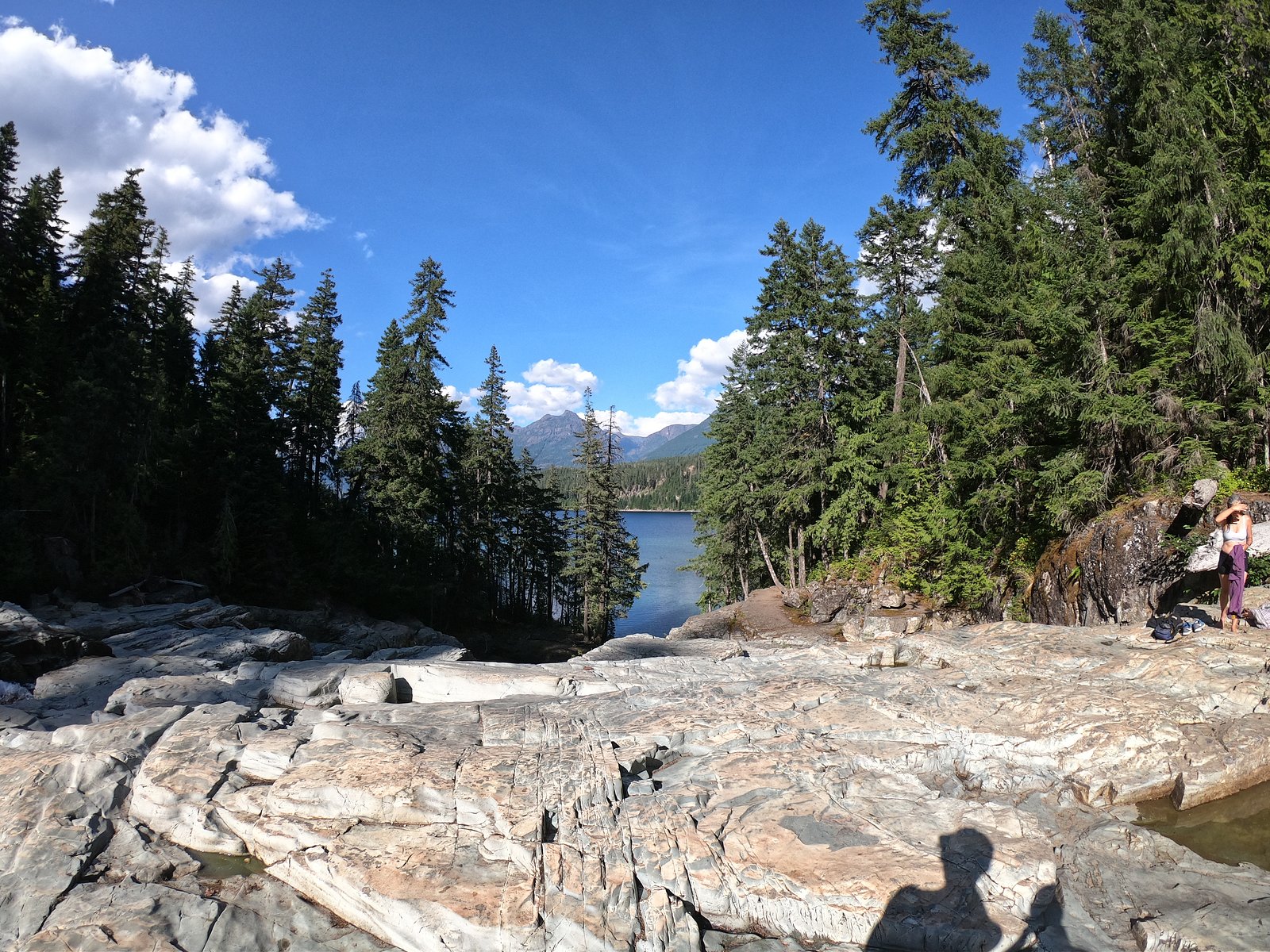
Mosher Falls is a small, likely cascade-type waterfall located in Nova Scotia at approximately 44.5647, -64.3503. It sits in a forested, rural area within driving distance of Windsor (≈28.0 mi), Halifax (≈35.9 mi), and Liverpool (≈41.3 mi). Visitor reports suggest the falls are modest in height with seasonal flow variation, typically higher in spring and after heavy rain and lower in late summer. Exact official measurements and maintained facility details are not readily available, so some access and trail conditions may be informal or unmarked.
Why This Waterfall Exists
Mosher Falls flows over hard intrusive rock laid down about 359-419 million years ago. These resistant rocks form a durable ledge that water cannot easily wear away, creating the falls where softer material downstream has already eroded.
Trail & Hike Details
Trail Description
Access is typically via a short, informal trail or cross-country route from a nearby roadside pullout. Trails in the area may be unmaintained, narrow, and can be wet, muddy, or root/rocky underfoot. There may be sections with uneven footing and low vegetation. Expect no formal boardwalks or railings unless recently installed by a local group; use caution near the water and on wet rocks.
What to Expect
A small, scenic cascade in a forested setting. Water flow can vary widely by season: high in spring/runoff and after rains, reduced in late summer. The site is likely quiet and relatively undeveloped, with limited visitor amenities. Terrain near the pool/riverbank may be steep, rocky, and slippery. Mobile reception may be spotty in parts of rural Nova Scotia.
Accessibility
The trail is not wheelchair accessible. Uneven terrain and elevation changes require steady footing.
Frequently Asked Questions
🐶 Are Dogs Allowed at Mosher Falls?
❌ Dogs are not allowed
Are There Any Fees or Permits Required?
🆖 No fees required
🏊 Is There Swimming at Mosher Falls?
❌ Swimming is not allowed
When to Visit
Spring (for higher flow) and early summer are typically best for seeing the falls with good water volume. Fall offers scenic foliage. Avoid periods of heavy rain for safety, and be cautious in winter when ice and snow can make the site hazardous.
Seasonal Access
The best time to visit is Spring, Summer, and Fall. Winter access may be limited. Check with the managing park or local authority for current conditions.
Safety Information
Exercise caution near the water, rocks and banks can be slippery and unstable. Seasonal changes can produce swift currents and higher flows; do not approach water edges during or immediately after heavy rain. Beware of ticks and biting insects in spring and summer. Cell coverage may be unreliable. Respect private property; parking and trailhead areas may be limited.
Current Water Conditions
2.7 m³/s
Current discharge — how much water is flowing
Lower than usual for this time of year
Based on 110 years of record
1.56 m
Water depth at gauge
7-Day Discharge Trend
What does this mean for your visit?
Flow is lower than usual for this time of year.
About This Gauge
This gauge is on a nearby waterway and may not reflect exact conditions at the falls.
7-Day Flow Outlook
Based on the WSC gauge LAHAVE RIVER AT WEST NORTHFIELD (23 km away).
Today
Low
2.7 m³/s
4/10Tomorrow
Low
2.6 m³/s
6/10Tue
Low
2.3 m³/s
5/10Wed
Low
2.5 m³/s
4/10Thu
Moderate
2.5 m³/s
5/10Fri
Moderate
2.5 m³/s
5/10Sat
Low
2.3 m³/s
5/10Best window: Tomorrow — low flow, mainly sunny (trip score 6/10).
Best time of year: this gauge typically runs highest from mid March to early May, peaking in April.
How we calculate this
This is a transparent outlook, not a precise forecast. We take the waterfall's current flow strength (how it ranks against its historical normal for today, from the nearest WSC stream gauge), carry that ranking forward along the gauge's seasonal curve, and nudge it for forecast rain. Confidence is highest for the next day or two and falls further out. Always check official conditions and your own judgment before visiting — high flows can be dangerous.
Know when to go.
Get a free email alert when waterfalls near Windsor hit peak flow. We only send when conditions are worth the trip — no weekly newsletters, no spam.
Weather Forecast
Location & Access
Getting There
From major nearby centers (Windsor, Halifax, Liverpool) reach the general area by paved secondary roads; the falls are accessed via local forest or gravel roads and an informal trail or short walk from a roadside pullout. Exact turn-by-turn directions and signage may be limited, use the provided coordinates (44.5647, -64.3503) for GPS and verify recent local conditions before traveling.
Get Directions on Google MapsParking
Likely limited roadside parking or a small pullout near the access track. Parking is probably unmarked and may be on a shoulder; expect minimal facilities (no official lot, toilets, or well-defined barrier). Park safely off the road and avoid blocking private drives.
Elevation
33 metres above sea level
Coordinates
44.564743° N, -64.350329° W
Visitor Tips & Gear
• Use the provided coordinates for navigation and confirm recent trip reports if possible before visiting. • Wear sturdy, waterproof footwear with good traction; rocks and paths can be slippery. • Expect minimal or no signage and no formal facilities, bring water, snacks, and a small first-aid kit. • Be respectful of private property; stay on public land and avoid crossing gates/fences unless signage allows access. • Check local conditions for mosquitoes, black flies, and ticks, especially in spring and summer. • If you plan to go off-trail, tell someone your route and expected return time.
Where to Stay
Browse vacation cabins and private rentals nearby
Unique outdoor stays — tents, yurts, and treehouses
Rent a campervan or RV for your waterfall road trip
Some links are affiliate links. We may earn a commission at no extra cost to you.
Nearby Campground
LaHave River Campground
20.6 km away
Additional Information
Nearby Attractions
Nearest towns: Windsor (≈28.0 miles), Halifax (≈35.9 miles), Liverpool (≈41.3 miles). Other regional attractions may include local trails, provincial parks, and coastal areas, but distances and specifics should be checked separately.
Wildlife
Typical rural Nova Scotia wildlife may be encountered: songbirds, waterfowl, white-tailed deer, small mammals, and possibly moose in more remote areas. Expect insects such as black flies and ticks in warmer months.
Cities near Mosher Falls
Nearby Waterfalls
Writing about Mosher Falls? Embed this waterfall on your site for free.