Burned Potato Falls
By Armen Suny · Last verified Jun 2026
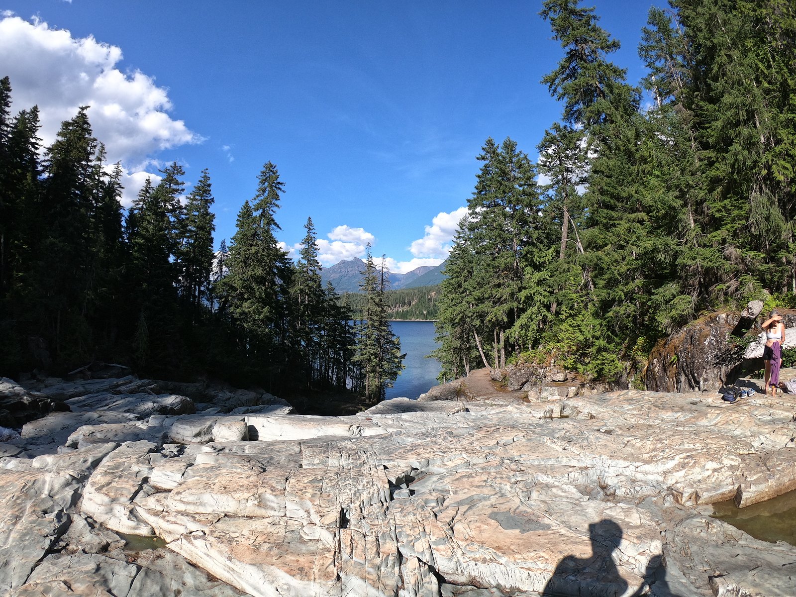
About Burned Potato Falls
Burned Potato Falls is a small, relatively remote waterfall in southwestern Nova Scotia (coordinates 44.6438, -64.4414). It lies in a forested, rural area roughly 28.0 miles from Windsor, 35.9 miles from Halifax, and 41.3 miles from Liverpool. Visitor reports indicate a modest cascading/step-style fall on a local stream; exact technical data and formal trail infrastructure appear limited or not published. Access likely involves secondary roads and an unmarked or lightly maintained footpath/forest road; portions of the route may cross private or working forest land. Expect seasonal variability in flow (highest in spring/after heavy rain, lower in late summer).
The Setting
Burned Potato Falls sits at 62 metres within Holden Lake Wilderness Area, in the coastal lowlands of Nova Scotia.
Trail & Hike Details
Trail Description
There is no widely published, maintained trail description for Burned Potato Falls. Reports suggest a short, informal approach from a nearby dirt/gravel access road with an unmarked footpath through mixed forest and possibly wet/muddy sections. The route may include uneven terrain, roots, and rocks. Trail conditions are likely to be seasonally variable and may be impacted by logging activity.
What to Expect
Expect a small cascade or stepped waterfall in a heavily forested setting. Water flow will be highest in spring and after rains and lower in dry summer periods. Terrain approaching the falls is likely natural and potentially steep or slippery near the water; there is probably no developed viewing platform, railings, or official safety infrastructure. Cell service may be intermittent. Wildlife in the area can include deer, small mammals, and a variety of birds; ticks and black flies may be present seasonally.
Accessibility
No documented accessible infrastructure. The approach is likely uneven, with roots, rocks, mud, and possible steep sections; not suitable for wheelchairs or those requiring fully accessible trails.
Frequently Asked Questions
🐶 Are Dogs Allowed at Burned Potato Falls?
❌ Dogs are not allowed
Are There Any Fees or Permits Required?
🆖 No fees required
🏊 Is There Swimming at Burned Potato Falls?
❌ Swimming is not allowed
When to Visit
Spring for highest water flow and dramatic cascades; late spring to early summer for good flow with leaf-out; fall for foliage color and cooler weather. Winter visits are possible but may be hazardous due to ice, snow, and poor road conditions.
Seasonal Access
The best time to visit is Spring, Summer, Fall, and Winter. Check with the managing park or local authority for current conditions.
Safety Information
• Slippery rocks and unstable banks near the water are hazardous, stay back from edges. • Flow can increase rapidly after rain; avoid low-lying areas during heavy rain due to flashier streams. • Limited cell service and no emergency services on-site, tell someone your plans and expected return time. • Watch for logging activity and vehicles on forestry roads. • Seasonal hazards: ice in winter, mud in spring (mud season), black flies and ticks in warm months. • Respect private property and posted signs; crossing private land without permission can create hazards and legal issues.
Current Water Conditions
Based on a Water Survey of Canada gauge 24.9 km away
2.4 m³/s
Current discharge — how much water is flowing
Lower than usual for this time of year
Based on 110 years of record
1.55 m
Water depth at gauge
7-Day Discharge Trend
What does this mean for your visit?
Flow is lower than usual for this time of year.
About This Gauge
This gauge is on a regional waterway. Conditions at the falls may differ, especially after local rain.
7-Day Flow Outlook
Based on the WSC gauge LAHAVE RIVER AT WEST NORTHFIELD (25 km away).
Today
Low
2.6 m³/s
4/10Tomorrow
Low
2.4 m³/s
6/10Tue
Low
2.1 m³/s
5/10Wed
Low
2.3 m³/s
4/10Thu
Low
2.4 m³/s
4/10Fri
Low
2.2 m³/s
5/10Sat
Low
2.3 m³/s
4/10Best window: Tomorrow — low flow, mainly sunny (trip score 6/10).
Best time of year: this gauge typically runs highest from mid March to early May, peaking in April.
How we calculate this
This is a transparent outlook, not a precise forecast. We take the waterfall's current flow strength (how it ranks against its historical normal for today, from the nearest WSC stream gauge), carry that ranking forward along the gauge's seasonal curve, and nudge it for forecast rain. Confidence is highest for the next day or two and falls further out. Always check official conditions and your own judgment before visiting — high flows can be dangerous.
Know when to go.
Get a free email alert when waterfalls near Windsor hit peak flow. We only send when conditions are worth the trip — no weekly newsletters, no spam.
Weather Forecast
Location & Access
Getting There
Use the provided coordinates (44.6438, -64.4414) as the primary navigation aid. Access appears to be via local secondary or forestry roads off provincial routes; some last-mile driving may be on gravel or dirt roads. A final short walk may be required from the nearest drivable point. Road and property ownership can vary in this region, verify local access and respect posted signs and private property.
Get Directions on Google MapsParking
Formal parking is not documented. Expect limited roadside or informal parking at the trailhead or pullouts. Park clear of gates and driveways, and avoid blocking logging operations. If unsure, seek permission from nearby landowners when applicable.
Elevation
62 metres above sea level
Coordinates
44.643811° N, -64.441446° W
Land Management
Managed by Nova Scotia Environment and Climate Change
Visitor Tips & Gear
• Use the coordinates and a reliable mapping app; confirm route with recent satellite imagery where possible. • Wear sturdy, waterproof footwear with good traction, rocks and roots near the falls can be slippery. • Bring insect repellent and check for ticks after visiting, especially in spring–fall. • Respect private property and posted signs; if access crosses private land, get permission from the landowner. • Avoid getting too close to edges and unstable banks; there may be no formal barriers. • Expect limited or no facilities: pack out all trash, and bring water and a first aid kit. • Check local road conditions during wet seasons and in winter; secondary roads can be muddy or snow-covered.
Where to Stay
Browse vacation cabins and private rentals nearby
Unique outdoor stays — tents, yurts, and treehouses
Rent a campervan or RV for your waterfall road trip
Some links are affiliate links. We may earn a commission at no extra cost to you.
Nearby Campground
LaHave River Campground
13.6 km away
Additional Information
Nearby Attractions
Nearby towns noted by distance: Windsor (~28.0 miles), Halifax (~35.9 miles), Liverpool (~41.3 miles). The region offers coastal scenery, provincial and municipal parks, and rural recreational opportunities; confirm specifics locally.
Wildlife
Typical Nova Scotia forest fauna: white-tailed deer, small mammals, various songbirds, and raptors. Black bears are present in parts of Nova Scotia, though encounters are generally uncommon; be bear-aware when visiting remote forest areas. Ticks and black flies can be a nuisance seasonally.
Cities near Burned Potato Falls
Nearby Waterfalls
Writing about Burned Potato Falls? Embed this waterfall on your site for free.