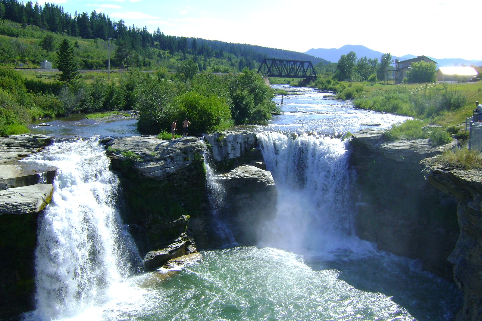
Lundbreck Falls
Alberta • 12 m
By Armen Suny · Last verified Jun 2026
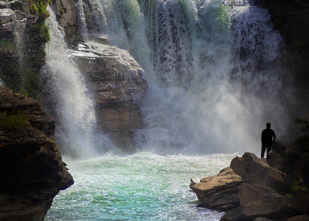
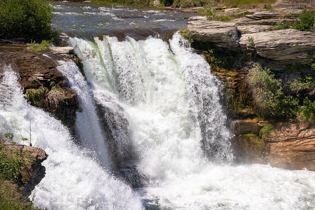
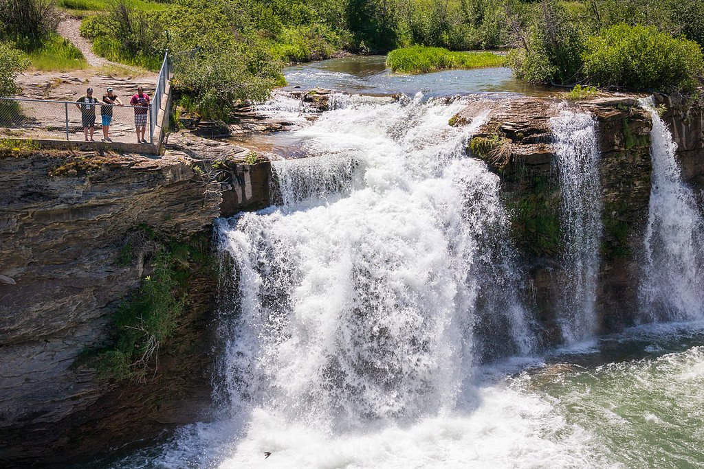
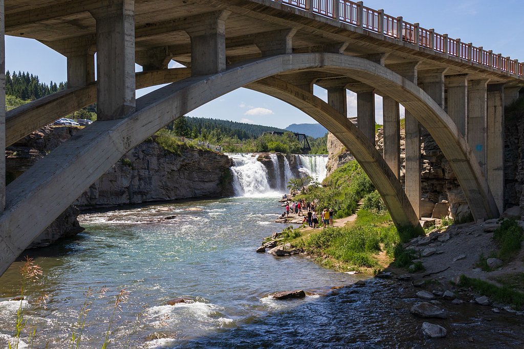
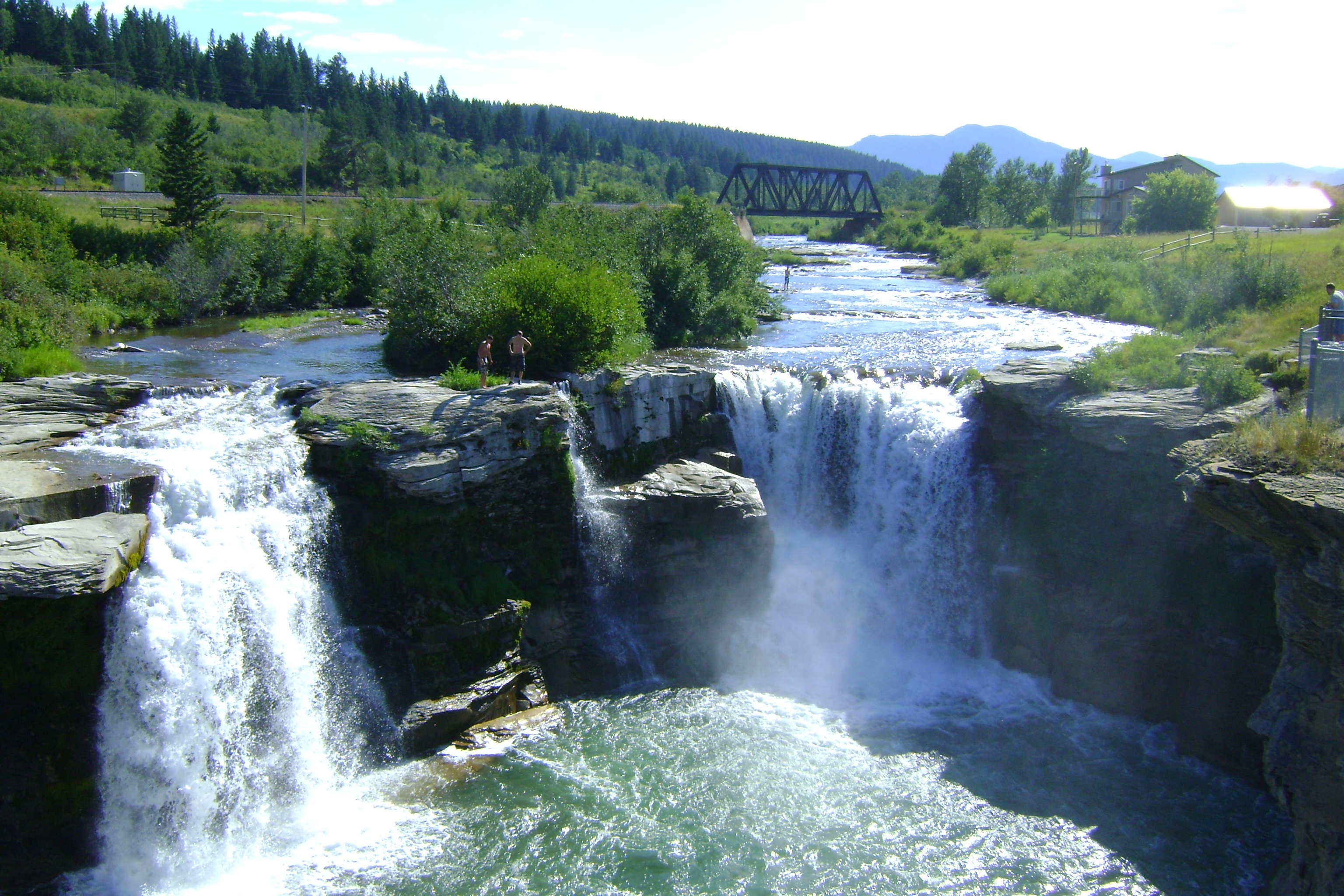
Photo Credits (5)
Difficulty
Easy
Trail Length
0.5 km
Trail Type
Out And Back
Elevation Gain
2 m
About Lundbreck Falls
Lundbreck Falls is a waterfall of the Crowsnest River located in southwestern Alberta, Canada near the hamlet of Lundbreck.
The Setting
Lundbreck Falls sits at 1,162 metres in the mountains of Alberta. The falls drop 12 metres.
Height: 40 feet
Trail & Hike Details
The Approach
The easy 0.5-km out-and-back trail gains 2 metres of elevation on the way to the falls.
Trail Description
From the parking area a short, paved/boardwalk trail and a set of stairs lead to multiple viewing platforms over the falls. The primary viewpoints are only a few minutes' walk from the lot. Trails around the immediate falls are short and well-marked; off-trail travel to river edges may be steep and slippery.
What to Expect
The falls drop 12 metres.
Accessibility
The trail is short and relatively flat, but the surface may be uneven. Contact the managing agency for accessibility details.
Frequently Asked Questions
🐶 Are Dogs Allowed at Lundbreck Falls?
❌ Dogs are not allowed
Are There Any Fees or Permits Required?
🆖 No fees required
🏊 Is There Swimming at Lundbreck Falls?
❌ Swimming is not allowed
When to Visit
Late spring and early summer for higher flows from snowmelt; autumn for colorful surroundings and fewer crowds; winter for ice formations and unique photographic opportunities. Midday to late afternoon often provides good light, but sunrise/sunset can produce dramatic colors on the falls and river.
Seasonal Access
The best time to visit is Spring, Summer, Fall, and Winter. Check with the managing park or local authority for current conditions.
Safety Information
Hazards include slippery rock, strong river currents, steep banks and cold water. Stay on marked trails and behind railings, supervise children closely, and avoid attempting to climb on rocks near the falls. In winter, ice and snow can make approaches hazardous, use appropriate footwear and be cautious of icefall and unstable snow/ice near the river.
Current Water Conditions
These readings come from the Water Survey of Canada gauge on Castle River, 11.4 km away, not on Lundbreck Falls's own stream. Use them as a sign of whether the area is running wet or dry.
3.2 m³/s
Current discharge — how much water is flowing
About average for this time of year
Based on 80 years of record
0.65 m
Water depth at gauge
7-Day Discharge Trend
What does this mean for your visit?
Flow is about average for this time of year.
About This Gauge
This gauge is on a nearby waterway and may not reflect exact conditions at the falls.
7-Day Flow Outlook
Based on the WSC gauge CASTLE RIVER NEAR BEAVER MINES (11 km away).
Today
Moderate
3.2 m³/s
6/10Tomorrow
Moderate
3.5 m³/s
5/10Sat
Moderate
3.5 m³/s
5/10Sun
Moderate
3.6 m³/s
5/10Mon
Moderate
3.6 m³/s
6/10Tue
Moderate
3.7 m³/s
6/10Wed
Moderate
3.8 m³/s
5/10Best window: Today — moderate flow, cloudy (trip score 6/10).
Best time of year: this gauge typically runs highest from mid April to mid July, peaking in June.
How we calculate this
This is a transparent outlook, not a precise forecast. We take the waterfall's current flow strength (how it ranks against its historical normal for today, from the nearest WSC stream gauge), carry that ranking forward along the gauge's seasonal curve, and nudge it for forecast rain. Confidence is highest for the next day or two and falls further out. Always check official conditions and your own judgment before visiting — high flows can be dangerous.
Weather Forecast
Location & Access
Getting There
Located directly off Highway 3 (Crowsnest Highway) near Lundbreck, Alberta. There is a signed turnout and a short access road to the Lundbreck Falls Provincial Recreation Area/parking. Coordinates: 49.5828, -114.2083.
Get Directions on Google MapsParking
Designated parking lot at the Lundbreck Falls recreation area adjacent to the highway. Parking is typically a small paved lot with space for cars and some RVs/vehicles; may be busy on summer weekends.
Elevation
1,162 metres above sea level
Coordinates
49.582815° N, -114.208279° W
Visitor Tips & Gear
["The main viewpoints are only a short walk from the parking area, good choice for families and short stops.", "Watch for wet and slippery rock near the river; stay behind railings and on marked paths.", "Bring a wide-angle lens or use the viewing platforms for good photo compositions; sunrise/sunset light can be dramatic.", "Be prepared for gusty wind and spray near the falls, waterproof jackets are useful.", "Facilities (restrooms, picnic areas) may be limited or winterized in colder months."]
As an Amazon Associate, we earn from qualifying purchases.
For this easy 0.5 km trail, lightweight trail shoes and a water bottle are usually sufficient. Icy conditions are common in winter — traction cleats are a smart addition.

Columbia Watertight II Rain Jacket
Packs into its own pocket, seam-sealed, and keeps you dry from spray and surprise rain.

Polarized Sunglasses (Knockaround)
Cuts glare off the water so you actually see the falls — and your photos turn out better too.

Earth Pak Waterproof Dry Bag
Keeps your phone and gear dry when waterfall mist soaks everything else.

Waterproof Phone Pouch (AiRunTech)
Cheap insurance — take photos right next to the falls without killing your phone.

Kahtoola MICROspikes
Cult-favorite traction cleats that grip ice and wet rock — essential for winter waterfall hikes.

JOBY GorillaPod Starter Kit
Wraps around railings and rocks for long-exposure waterfall shots — no flat surface needed.
Where to Stay
Browse vacation cabins and private rentals nearby
Unique outdoor stays — tents, yurts, and treehouses
Rent a campervan or RV for your waterfall road trip
Some links are affiliate links. We may earn a commission at no extra cost to you.
Nearby Campground
Cowley Lion's Castle River Campground
8.9 km away
Additional Information
Nearby Attractions
Crowsnest Pass communities and attractions, Frank Slide Interpretive Centre (a short drive east), Castle area provincial lands to the west, local hiking and fishing opportunities along the Crowsnest River.
Wildlife
Common wildlife includes songbirds, waterfowl, raptors, and occasionally deer. Keep distance from wildlife and secure food and trash.
Nearby Waterfalls
Writing about Lundbreck Falls? Embed this waterfall on your site for free.