
Lower Bosumarne Falls
By Armen Suny · Last verified Jun 2026
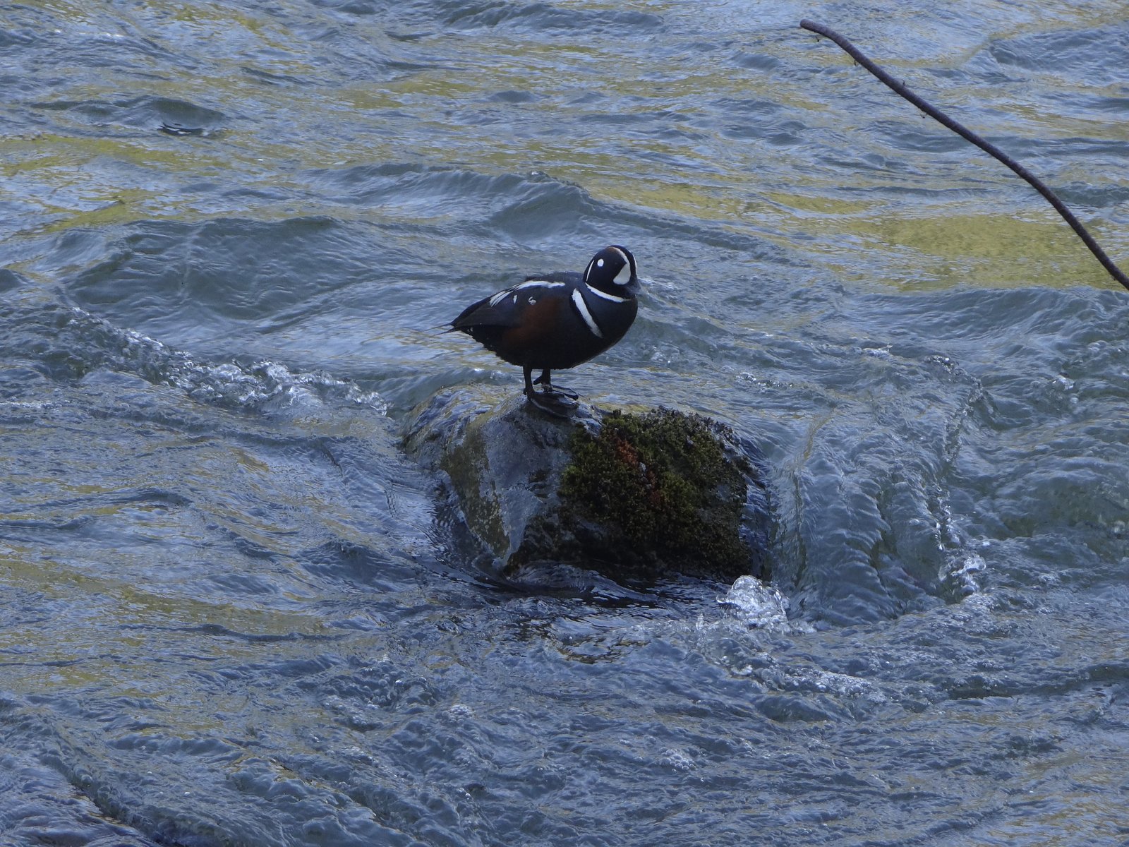
Photo Credits (2)
Difficulty
Easy
Trail Length
2.6 km
Trail Type
Out And Back
Elevation Gain
76 m
About Lower Bosumarne Falls
Lower Bosumarne Falls is a forested, mountain-stream waterfall located at approximately 49.106, -121.4907 in southwestern British Columbia, fairly remote from built-up areas. It sits in steep, densely treed terrain and is best-known to local hikers and backcountry visitors rather than as a developed park attraction. Water flow is seasonal and typically highest during spring snowmelt; access may require travel on unpaved forest or logging roads and route-finding on unmaintained trails. Exact waterfall height and official geographic details are not readily available and appear to be undocumented in major park listings.
The Setting
Lower Bosumarne Falls sits at 616 metres within Wildlife Habitat Areas, in the hills of British Columbia.
Why This Waterfall Exists
Lower Bosumarne Falls flows over layered sedimentary rock laid down about 23-66 million years ago. Over time, the stream has worn through these layers at different rates, creating the step that forms the waterfall.
Nearby Falls Worth Visiting
Greendrop Lake Falls (38 m) lies 5.6 kilometres to the northeast. Also nearby: Bosumarne Falls (25 m, 0.3 km) and Foley Lake Falls (20 m, 6.8 km).
Trail & Hike Details
The Approach
The easy 2.6-km out-and-back trail gains 76 metres of elevation on the way to the falls.
Trail Description
There does not appear to be a widely maintained, signed trail to Lower Bosumarne Falls. Visitors report routes that include travel on forestry roads followed by bushwhacking or travel on rough, unmarked footpaths through steep, forested terrain. Sections may be steep, muddy, and require scrambling over roots and rocks. Route-finding skills are likely required; expect no constructed viewpoints, handrails, or trail infrastructure.
What to Expect
Expect a natural, undeveloped waterfall setting with dense forest, wet and mossy rocks, and variable water flow. Spring and early summer typically provide the strongest flows; late summer and fall can be much lower. Terrain is steep and may include loose rock, slippery logs, and stream crossings. Facilities (toilets, trash cans, signage) are unlikely. Wildlife in the area may include deer and black bears; insects (mosquitoes, black flies) can be abundant in warmer months.
Accessibility
The trail is not wheelchair accessible. Uneven terrain and elevation changes require steady footing.
Frequently Asked Questions
🐶 Are Dogs Allowed at Lower Bosumarne Falls?
❌ Dogs are not allowed
Are There Any Fees or Permits Required?
🆖 No fees required
🏊 Is There Swimming at Lower Bosumarne Falls?
❌ Swimming is not allowed
When to Visit
Late spring (snowmelt) for highest water flow and full cascades. Early to mid-summer is often drier but more accessible. Fall can offer lower crowds and good colors; avoid winter unless experienced with winter backcountry travel due to ice, snow, and avalanche risk in steeper terrain.
Seasonal Access
The best time to visit is Spring, Summer, and Fall. Winter access may be limited. Check with the managing park or local authority for current conditions.
Safety Information
Hazards can include steep, slippery, and unstable terrain; wet and moss-covered rocks; loose rock and tree roots; fast-moving water and strong currents near the falls; limited or no cell service; and seasonal road closures or poor road conditions. Flashy streams can rise rapidly in heavy rain, avoid getting too close to edges of waterfalls or unstable banks. Use caution in winter: ice and avalanche risk may be present in steeper or higher sections. Always follow Leave No Trace principles and err on the side of caution if conditions are uncertain.
Current Water Conditions
12.6 m³/s
Current discharge — how much water is flowing
Much lower than usual for this time of year
Based on 96 years of record
0.98 m
Water depth at gauge
7-Day Discharge Trend
What does this mean for your visit?
Flow is well below normal for this time of year, so the waterfall may be a trickle.
About This Gauge
7-Day Flow Outlook
Based on the WSC gauge CHILLIWACK RIVER AT OUTLET OF CHILLIWACK LAKE (3 km away).
Today
Barely Flowing
13 m³/s
4/10Tomorrow
Barely Flowing
12 m³/s
4/10Tue
Barely Flowing
12 m³/s
4/10Wed
Barely Flowing
12 m³/s
4/10Thu
Barely Flowing
13 m³/s
3/10Fri
Barely Flowing
12 m³/s
4/10Sat
Barely Flowing
12 m³/s
3/10Best window: Today — barely flowing flow, cloudy (trip score 4/10).
Best time of year: this gauge typically runs highest from early May to late July, peaking in June.
How we calculate this
This is a transparent outlook, not a precise forecast. We take the waterfall's current flow strength (how it ranks against its historical normal for today, from the nearest WSC stream gauge), carry that ranking forward along the gauge's seasonal curve, and nudge it for forecast rain. Confidence is highest for the next day or two and falls further out. Always check official conditions and your own judgment before visiting — high flows can be dangerous.
Know when to go.
Get a free email alert when waterfalls near Chilliwack hit peak flow. We only send when conditions are worth the trip — no weekly newsletters, no spam.
Weather Forecast
Location & Access
Getting There
Use the provided coordinates (49.106, -121.4907) to navigate; the falls are in a mountainous, forested area a number of miles from the nearest towns. Access commonly involves driving on secondary or forestry/logging roads off the main highways serving the Chilliwack/Harrison area and then hiking on unmarked or lightly used trails. A high-clearance vehicle or 4WD may be helpful for rough access roads. Cell service may be intermittent, carry offline maps or a GPS device.
Get Directions on Google MapsParking
There is likely no formal parking lot or developed trailhead. Expect limited roadside pullouts or informal parking at the end of a forestry road. Park legally and avoid blocking gates or driveways. If access crosses private land, permissions may be required.
Elevation
616 metres above sea level
Coordinates
49.105958° N, -121.490666° W
Land Management
Managed by Government of British Columbia
Visitor Tips & Gear
1) Use the coordinates and offline maps; do not rely solely on cell service. 2) Wear sturdy, waterproof hiking boots and bring trekking poles for steep or slippery sections. 3) Be prepared for route-finding and unmarked paths, carry a map, compass, or GPS. 4) Leave no trace: pack out all trash and avoid disturbing vegetation or stream banks. 5) Check local forestry or provincial resources for current road and trail conditions, and for any temporary closures. 6) Travel with a companion if possible and tell someone your route and expected return time.
As an Amazon Associate, we earn from qualifying purchases.
This easy 2.6 km hike is straightforward — comfortable trail shoes and plenty of water should do. Sun exposure on the trail makes good sun protection a must in summer.

Polarized Sunglasses (Knockaround)
Cuts glare off the water so you actually see the falls — and your photos turn out better too.

Columbia Watertight II Rain Jacket
Packs into its own pocket, seam-sealed, and keeps you dry from spray and surprise rain.

Earth Pak Waterproof Dry Bag
Keeps your phone and gear dry when waterfall mist soaks everything else.

Waterproof Phone Pouch (AiRunTech)
Cheap insurance — take photos right next to the falls without killing your phone.

JOBY GorillaPod Starter Kit
Wraps around railings and rocks for long-exposure waterfall shots — no flat surface needed.

Osprey Daylite Daypack
Light, organized, and just the right size for a day hike — fits water, snacks, and layers.
Where to Stay
Browse vacation cabins and private rentals nearby
Unique outdoor stays — tents, yurts, and treehouses
Rent a campervan or RV for your waterfall road trip
Some links are affiliate links. We may earn a commission at no extra cost to you.
Nearby Campground
Chilliwack Lake Provincial Campground
3 km away
Nearby Hot Springs
Hot springs near Chilliwack, British Columbia
Baker Hot Spring
Baker Hot Spring emerges at 108 degrees Fahrenheit on US Forest Service land in Mt. Baker National Forest, flowing 59.5 degrees...
Dorr Fumarole Field
Dorr Fumarole Field reaches 194 degrees at 8,168 feet elevation on Mount Baker's active volcanic slopes, producing superheated ...

Sherman Crater Fumaroles
Sherman Crater Fumaroles register 266 degrees Fahrenheit at 9,463 feet elevation within the active volcanic crater atop Mount B...
Looking for a soak after your hike? Explore more hot springs near Chilliwack, British Columbia on SoakingSprings.
Explore British Columbia springsAdditional Information
Nearby Attractions
Nearest population centers include Chilliwack (≈22 miles), Glacier (≈29 miles), and Marblemount (≈30 miles). Other regional attractions commonly visited in the area include lakes, provincial parks, and mountain routes, confirm exact nearby features locally as the falls are not a widely developed tourist site.
Wildlife
Black bears, deer, small mammals, and birds are common in the region. Be bear-aware (store food securely, make noise while hiking). Expect mosquitoes and black flies in warmer months.
Cities near Lower Bosumarne Falls
Nearby Waterfalls
Writing about Lower Bosumarne Falls? Embed this waterfall on your site for free.