Little Indian Falls
By Armen Suny · Last verified Jun 2026
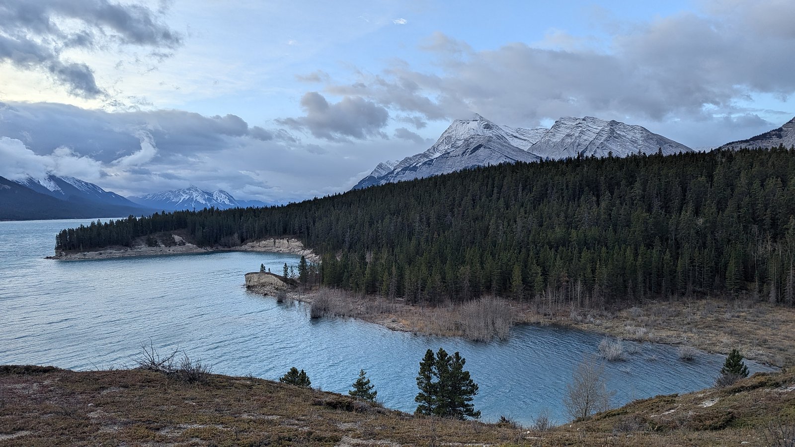
Photo Credits (1)
Difficulty
Easy
Trail Length
6.3 km
Trail Type
Out And Back
Elevation Gain
160 m
About Little Indian Falls
Little Indian Falls (coords 52.2055, -116.4724) appears to be a small, forested cascade in the Alberta Rockies/foothills. Detailed, authoritative descriptions (including exact height and established trail info) are not well documented in major trail databases. Flow and appearance are typically seasonal, higher in spring/early summer and lower by late summer/fall. Information below is conservative and may require local confirmation before you go.
Why This Waterfall Exists
Little Indian Falls flows over layered sedimentary rock laid down about 145-252 million years ago. Over time, the stream has worn through these layers at different rates, creating the step that forms the waterfall.
Nearby Falls Worth Visiting
Allstones Falls (5 m) lies 10.9 kilometres to the northeast.
Trail & Hike Details
The Approach
The easy 6.3-km out-and-back trail gains 160 metres of elevation on the way to the falls.
Trail Description
There does not appear to be a well-maintained, widely published trail to Little Indian Falls. The approach may be a short unmarked path or require a brief off-trail scramble through forest and over rocks. Expect uneven, potentially steep and slippery terrain close to the falls. If you are uncomfortable navigating unmarked routes, consider contacting local ranger/tourism offices for current access information.
What to Expect
A small, wooded waterfall or cascade with seasonal flow variation. Surroundings are likely forested with native alpine/foothills vegetation, rocks and possible wet/slippery surfaces near the water. Summer brings mosquitoes in some seasons; spring brings higher flows and more dramatic water volume. Limited facilities, signage, or visitor infrastructure should be expected.
Accessibility
The trail is not wheelchair accessible. Uneven terrain and elevation changes require steady footing.
Frequently Asked Questions
🐶 Are Dogs Allowed at Little Indian Falls?
❌ Dogs are not allowed
Are There Any Fees or Permits Required?
🆖 No fees required
🏊 Is There Swimming at Little Indian Falls?
❌ Swimming is not allowed
When to Visit
Late spring to early summer for strongest flows; late summer and fall can be drier but offer clearer approaches and fall colours. Winter may present an attractive frozen cascade but access can be hazardous (deep snow, ice, closed or impassable roads) and should only be attempted with appropriate winter equipment and experience.
Seasonal Access
The best time to visit is Spring, Summer, Fall, and Winter. Check with the managing park or local authority for current conditions.
Safety Information
Hazards may include slippery wet rock, steep or unstable banks, cold and fast-moving water, limited or no cell coverage, unmarked routes, and variable road conditions. Spring runoff can make water levels and currents much stronger. Always tell someone your plan, carry navigation and emergency supplies, and avoid cliff edges and fast water. In winter, risk of avalanche, deep snow and ice should be considered where applicable.
Current Water Conditions
239.0 m³/s
Current discharge — how much water is flowing
Much higher than usual for this time of year
Based on 56 years of record
2.18 m
Water depth at gauge
7-Day Discharge Trend
What does this mean for your visit?
The water is flowing much higher than usual, expect an impressive display.
About This Gauge
This gauge is on a nearby waterway and may not reflect exact conditions at the falls.
7-Day Flow Outlook
Based on the WSC gauge NORTH SASKATCHEWAN RIVER AT WHIRLPOOL POINT (23 km away).
Today
Roaring
258 m³/s
6/10Tomorrow
Roaring
266 m³/s
6/10Tue
Roaring
269 m³/s
6/10Wed
Roaring
262 m³/s
9/10Thu
Roaring
254 m³/s
8/10Fri
Roaring
281 m³/s
6/10Sat
Roaring
260 m³/s
9/10Best window: Wed — roaring flow, mainly sunny (trip score 9/10).
Best time of year: this gauge typically runs highest from early June to early September, peaking in July.
How we calculate this
This is a transparent outlook, not a precise forecast. We take the waterfall's current flow strength (how it ranks against its historical normal for today, from the nearest WSC stream gauge), carry that ranking forward along the gauge's seasonal curve, and nudge it for forecast rain. Confidence is highest for the next day or two and falls further out. Always check official conditions and your own judgment before visiting — high flows can be dangerous.
Weather Forecast
Location & Access
Getting There
Coordinates are the primary location reference. Access may require driving on secondary or forest service/logging roads and a short unmarked walk or scramble; the final approach may be off-trail. Roads may be rough and a high-clearance or 4x4 vehicle could be helpful. Verify current road conditions with local land managers before travelling.
Get Directions on Google MapsParking
Likely limited or informal roadside parking (no developed lot). Park legally and avoid obstructing traffic; expect minimal to no signage or facilities.
Elevation
1,345 metres above sea level
Coordinates
52.205540° N, -116.472383° W
Visitor Tips & Gear
1) Confirm access and current conditions with local land managers or visitor centres before traveling. 2) Use a detailed map or GPS to reach the provided coordinates; do not rely exclusively on cellular service. 3) Wear waterproof boots with good traction; expect wet, slippery rocks. 4) Carry bear spray and know how to use it when in bear country. 5) Leave no trace: pack out garbage and avoid disturbing vegetation or wildlife. 6) Avoid getting too close to the edge of cliffs or fast water.
As an Amazon Associate, we earn from qualifying purchases.
This easy 6.3 km hike is straightforward — comfortable trail shoes and plenty of water should do. Icy conditions are common in winter — traction cleats are a smart addition.

Columbia Watertight II Rain Jacket
Packs into its own pocket, seam-sealed, and keeps you dry from spray and surprise rain.

Polarized Sunglasses (Knockaround)
Cuts glare off the water so you actually see the falls — and your photos turn out better too.

Earth Pak Waterproof Dry Bag
Keeps your phone and gear dry when waterfall mist soaks everything else.

Waterproof Phone Pouch (AiRunTech)
Cheap insurance — take photos right next to the falls without killing your phone.

Kahtoola MICROspikes
Cult-favorite traction cleats that grip ice and wet rock — essential for winter waterfall hikes.

Sawyer Squeeze Water Filter
The backcountry standard — filters 99.9% of bacteria and weighs just 3 oz.
Where to Stay
Browse vacation cabins and private rentals nearby
Unique outdoor stays — tents, yurts, and treehouses
Rent a campervan or RV for your waterfall road trip
Some links are affiliate links. We may earn a commission at no extra cost to you.
Nearby Campground
Group Camp C
1.7 km away
Additional Information
Nearby Attractions
The site is in Alberta's mountain/foothills region where there are multiple natural attractions (mountain scenery, hiking trails, provincial land). Exact nearby named attractions are not confirmed here, check regional tourism resources or local visitor centres for validated nearby destinations.
Wildlife
Potential to encounter bears (black and possibly grizzly depending on exact location), moose, elk, deer, wolves, cougars, and small mammals. Practice wildlife safety and food storage protocols.
Nearby Waterfalls
Writing about Little Indian Falls? Embed this waterfall on your site for free.