Photo Credits (5)
Difficulty
Easy
Trail Length
0.6 km
Trail Type
Out And Back
Elevation Gain
3 m
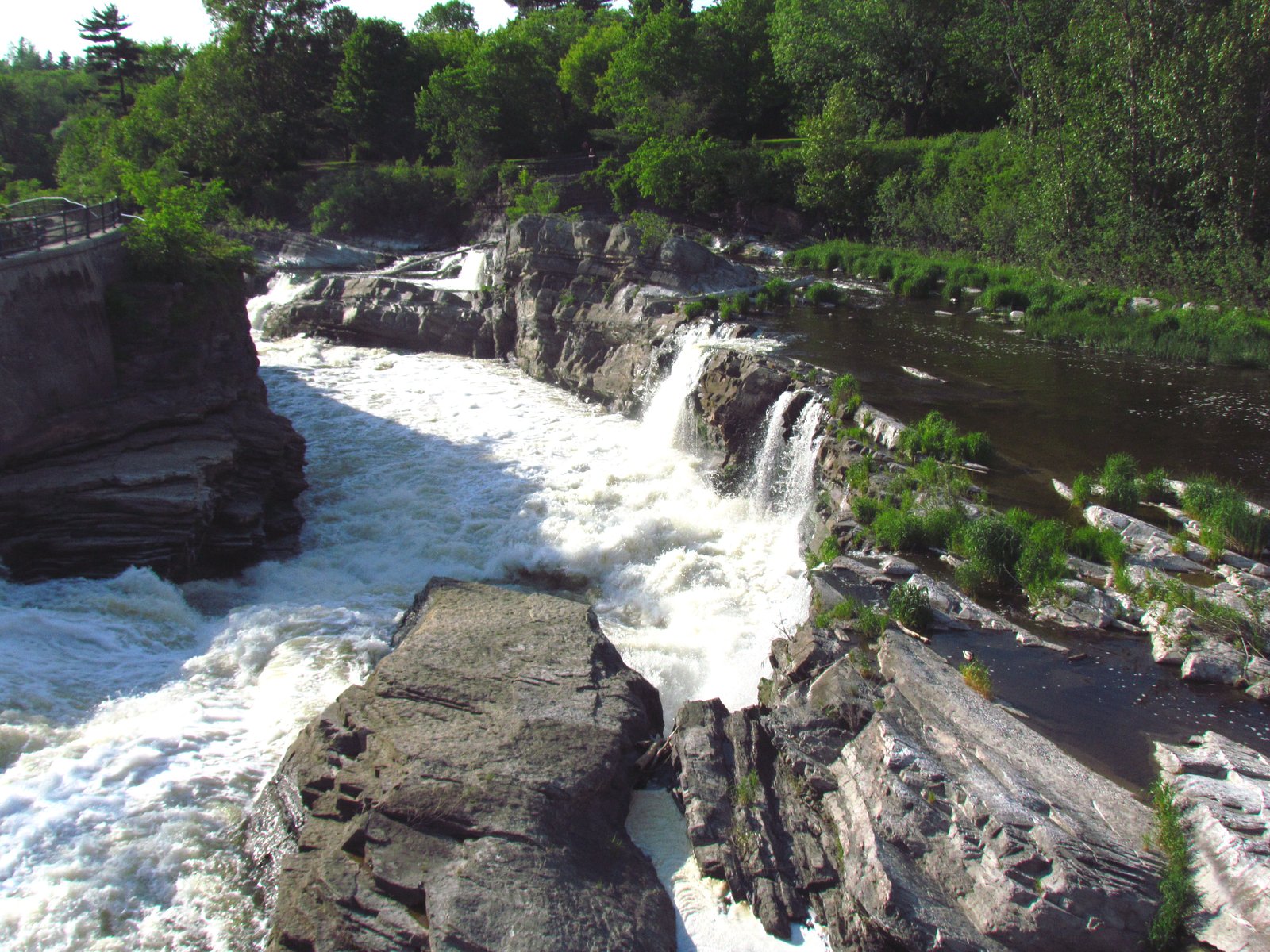
About Keeley Falls
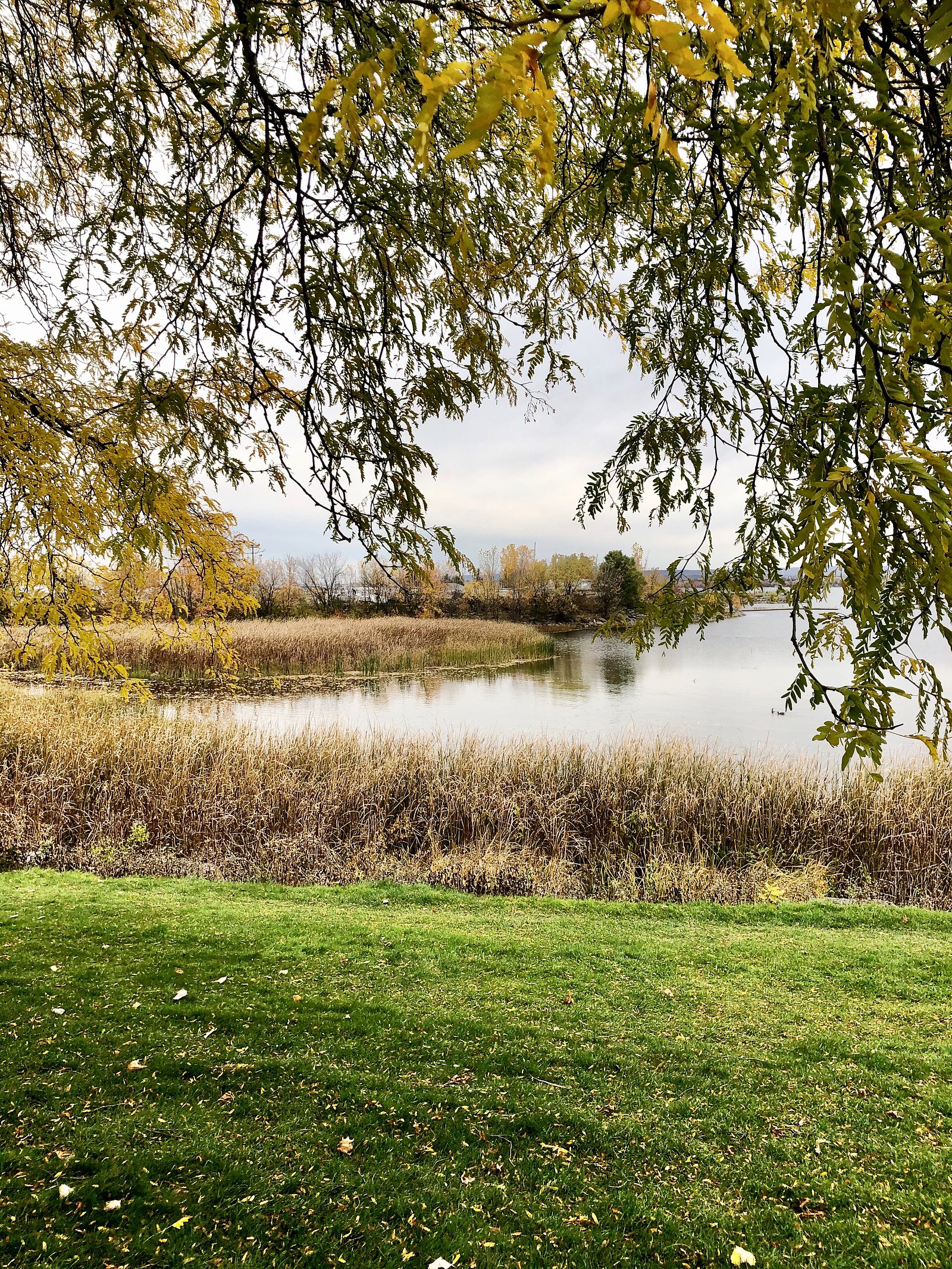
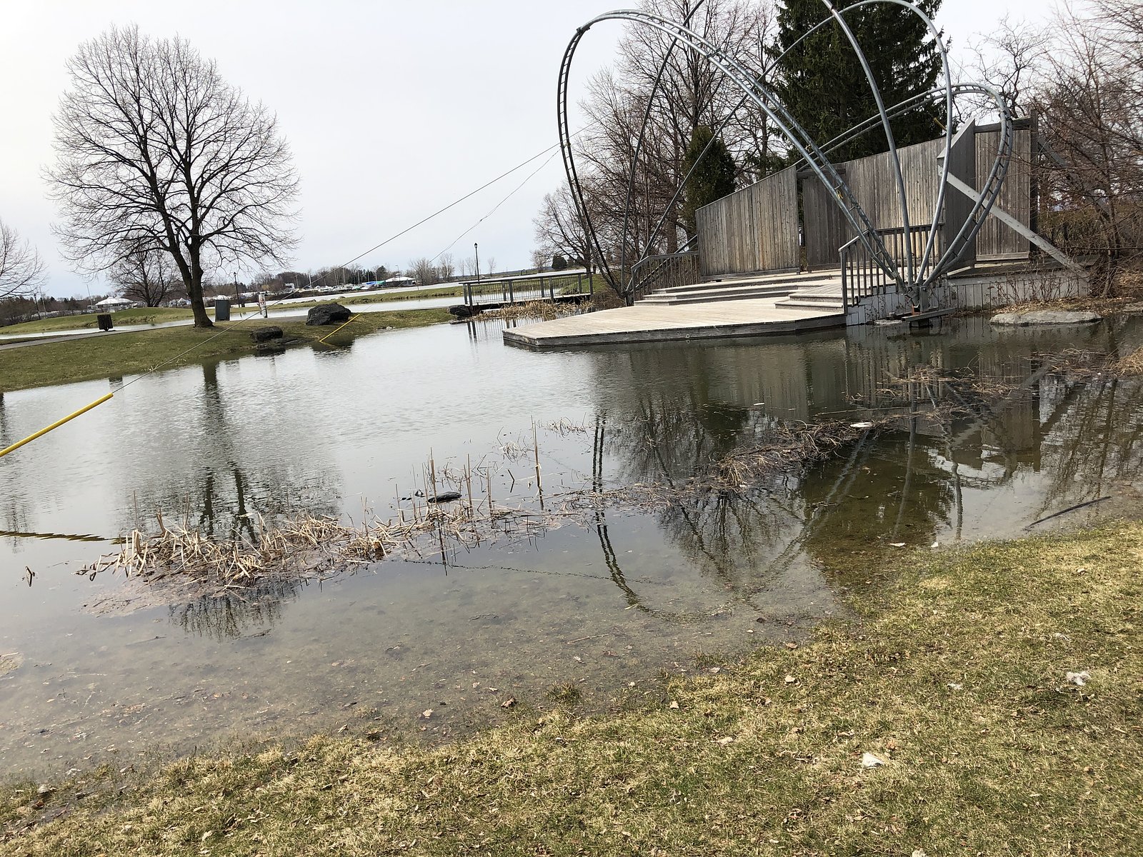
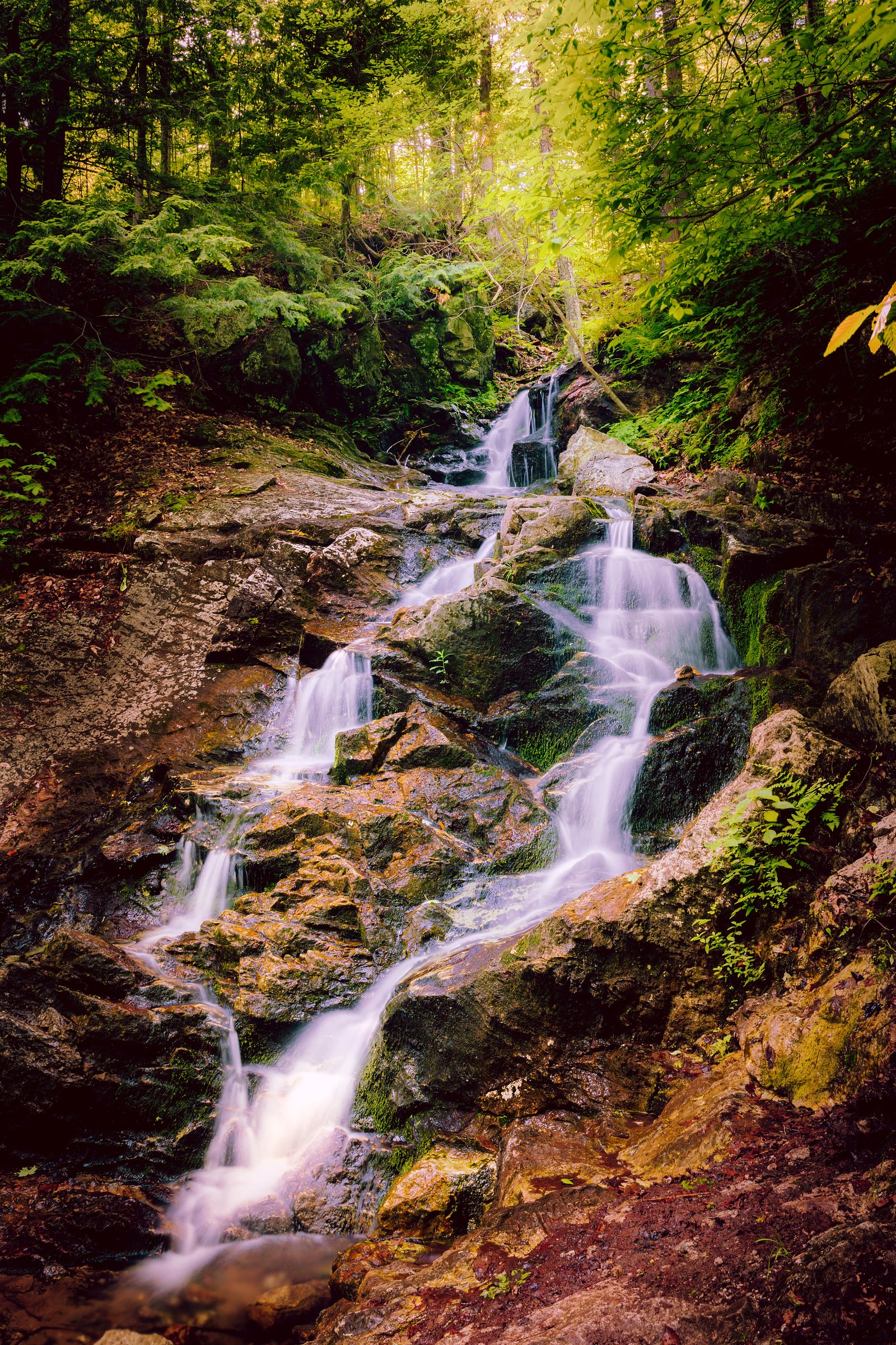
Keeley Falls is a small, wooded-region waterfall located in eastern Ontario near the provided coordinates (45.3497, -75.8231). The falls appear on a local creek and are most notable for seasonal flow variation (higher in spring melt and after heavy rains). Public information on the site is limited; descriptions below are conservative and reflect typical conditions for small Ontario creek falls, expect a relatively natural, minimally developed setting with limited facilities.
Why This Waterfall Exists
Keeley Falls flows over layered sedimentary rock laid down about 252-539 million years ago. Over time, the stream has worn through these layers at different rates, creating the step that forms the waterfall.
Nearby Falls Worth Visiting
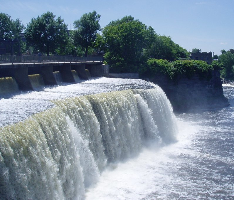
Hog's Back Falls (18 m) lies 10.1 kilometres to the east. Also nearby: Rideau Falls (11 m, 14.2 km).
Trail & Hike Details
The Approach
The easy 0.6-km out-and-back trail gains 3 metres of elevation on the way to the falls.
Trail Description
Reported information on an established trail to Keeley Falls is limited. Visitors should expect an informal path from the nearest parking/roadside area, likely through mixed forest and over uneven, sometimes muddy ground. Trails may be short (a few hundred yards) or require a slightly longer walk depending on where you park. Surfaces can be rooty, rocky, and slippery when wet; expect minimal signage and no constructed viewing platforms in many cases.
What to Expect
A small, natural waterfall and cascade with variable flow depending on season. Surrounding terrain is likely mixed hardwood forest with understory plants typical of eastern Ontario. Expect limited facilities (no restrooms, no formal overlooks), possible steep banks near the water, and potentially limited cell reception. Spring and after-rain visits will show the highest flows; late summer may reveal reduced flow.
Accessibility
The trail is short and relatively flat, but the surface may be uneven. Contact the managing agency for accessibility details.
Frequently Asked Questions
🐶 Are Dogs Allowed at Keeley Falls?
❌ Dogs are not allowed
Are There Any Fees or Permits Required?
🆖 No fees required
🏊 Is There Swimming at Keeley Falls?
❌ Swimming is not allowed
When to Visit
Late spring (high water from snowmelt) for strongest flow; early fall for foliage color and generally stable conditions. Summer offers warm weather but possibly lower water levels. Winter visits may be attractive for ice formations but are more hazardous (ice, cold, slippery surfaces) and require appropriate gear.
Seasonal Access
The best time to visit is Spring, Summer, and Fall. Winter access may be limited. Check with the managing park or local authority for current conditions.
Safety Information
Hazards may include slippery rocks and banks, unstable edges, sudden high water after rainfall, cold water, limited or no railings, poor cell reception in some areas, and seasonal ice in winter. Use caution near the water, avoid climbing on wet rocks, supervise children closely, and do not approach the edge of high banks. If visiting in winter, be aware of hidden hazards under ice and the risk of hypothermia. Always tell someone your plans and expected return time. If unsure about access, contact the local municipality or regional conservation authority before visiting.
Current Water Conditions
641.0 m³/s
Current discharge — how much water is flowing
About average for this time of year
Based on 65 years of record
57.87 m
Water depth at gauge
7-Day Discharge Trend
What does this mean for your visit?
Flow is about average for this time of year.
About This Gauge
7-Day Flow Outlook
Based on the WSC gauge OTTAWA RIVER AT BRITANNIA (0 km away).
Today
Low
634 m³/s
6/10Tomorrow
Low
641 m³/s
5/10Tue
Moderate
737 m³/s
4/10Wed
Moderate
703 m³/s
5/10Thu
Moderate
614 m³/s
6/10Fri
Moderate
626 m³/s
5/10Sat
Moderate
643 m³/s
5/10Best window: Today — low flow, sunny (trip score 6/10).
Best time of year: this gauge typically runs highest from late March to mid June, peaking in May.
How we calculate this
This is a transparent outlook, not a precise forecast. We take the waterfall's current flow strength (how it ranks against its historical normal for today, from the nearest WSC stream gauge), carry that ranking forward along the gauge's seasonal curve, and nudge it for forecast rain. Confidence is highest for the next day or two and falls further out. Always check official conditions and your own judgment before visiting — high flows can be dangerous.
Know when to go.
Get a free email alert when waterfalls near Ottawa hit peak flow. We only send when conditions are worth the trip — no weekly newsletters, no spam.
Weather Forecast
Location & Access
Getting There
Coordinates: 45.3497, -75.8231. The site is described as being near Ottawa (approx. 8.5 miles), Ogdensburg (approx. 46.2 miles) and Norwood (approx. 64.3 miles). Access is most commonly by car via local and regional roads; signage and formal access points may be limited and approach often requires following secondary roads and possibly short ATV/footpaths. Confirm local access restrictions before visiting (private land or conservation authority rules may apply).
Get Directions on Google MapsParking
Parking may be informal or roadside; there may not be a developed parking lot. Expect limited space and potentially muddy or soft shoulders in wet weather. If you find a formal lot, use that; otherwise park well off the road where legal and safe.
Elevation
63 metres above sea level
Coordinates
45.349720° N, -75.823075° W
Visitor Tips & Gear
1) Wear sturdy footwear with good traction, rocks and banks are slippery. 2) Stay back from edges; banks may be unstable. 3) Do not assume formal trails or signage, bring a map or use GPS coordinates. 4) Respect private property, verify access if signs indicate private land. 5) Pack out all trash and follow Leave No Trace principles. 6) Check local conditions and weather before visiting; creek levels can rise quickly after storms.
As an Amazon Associate, we earn from qualifying purchases.
For this easy 0.6 km trail, lightweight trail shoes and a water bottle are usually sufficient. Sun exposure on the trail makes good sun protection a must in summer.

Polarized Sunglasses (Knockaround)
Cuts glare off the water so you actually see the falls — and your photos turn out better too.

Columbia Watertight II Rain Jacket
Packs into its own pocket, seam-sealed, and keeps you dry from spray and surprise rain.

Earth Pak Waterproof Dry Bag
Keeps your phone and gear dry when waterfall mist soaks everything else.

Waterproof Phone Pouch (AiRunTech)
Cheap insurance — take photos right next to the falls without killing your phone.

JOBY GorillaPod Starter Kit
Wraps around railings and rocks for long-exposure waterfall shots — no flat surface needed.

Osprey Daylite Daypack
Light, organized, and just the right size for a day hike — fits water, snacks, and layers.
Where to Stay
Browse vacation cabins and private rentals nearby
Unique outdoor stays — tents, yurts, and treehouses
Rent a campervan or RV for your waterfall road trip
Some links are affiliate links. We may earn a commission at no extra cost to you.
Nearby Campground
Wesley Clover Parks Campground
4 km away
Additional Information
Nearby Attractions
General region attractions include Ottawa (urban cultural and historical sites), local conservation areas and rivers in eastern Ontario. For specific nearby parks or conservation areas, consult local tourism resources or regional conservation authority maps.
Wildlife
Typical eastern Ontario wildlife: songbirds, waterfowl, deer, raccoons, small mammals, and insects. Ticks are present in warmer months; black bears and moose are possible in broader regions of Ontario but are uncommon near developed areas, always take standard wildlife precautions.
Cities near Keeley Falls
Nearby Waterfalls
Writing about Keeley Falls? Embed this waterfall on your site for free.