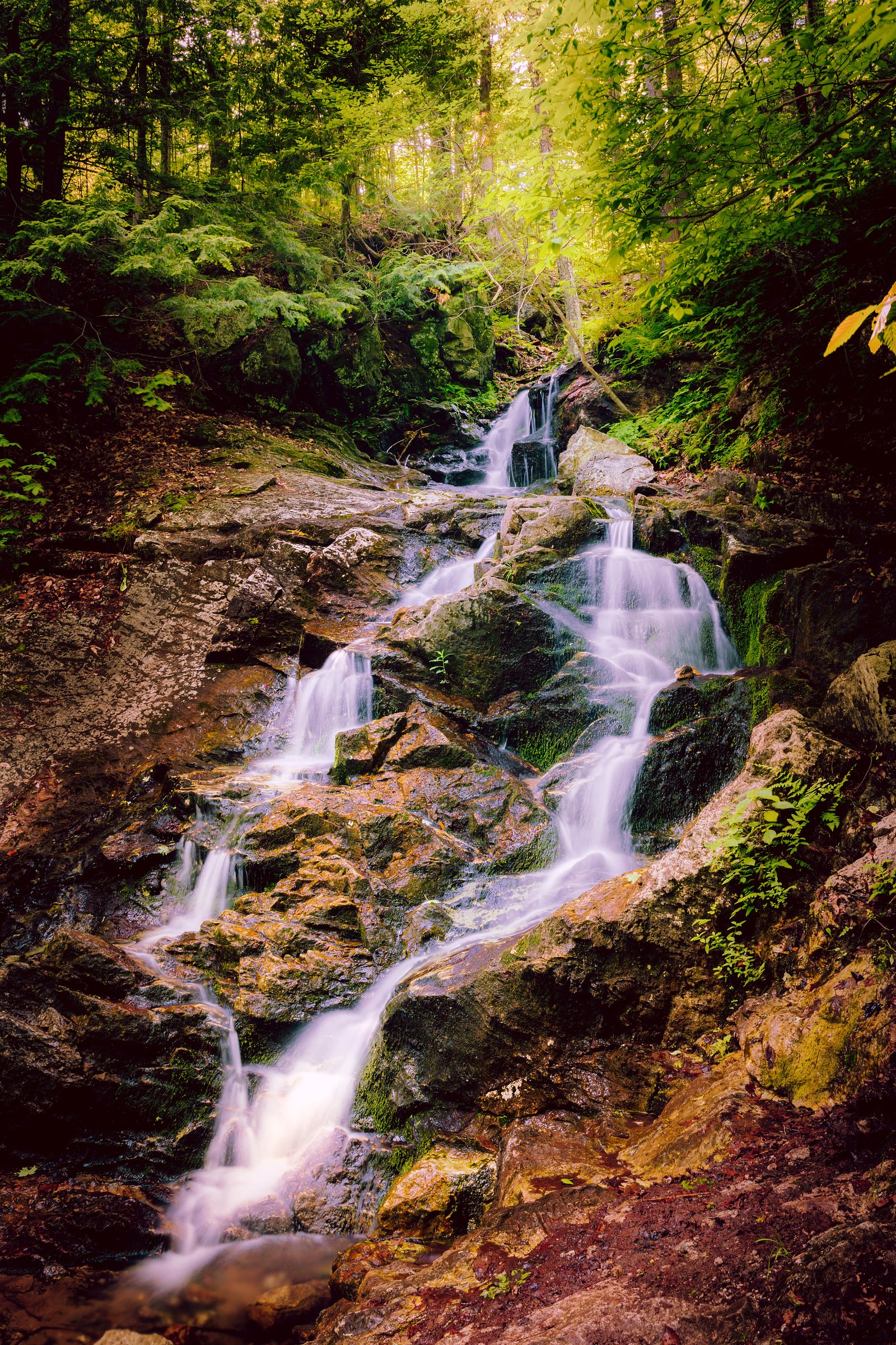
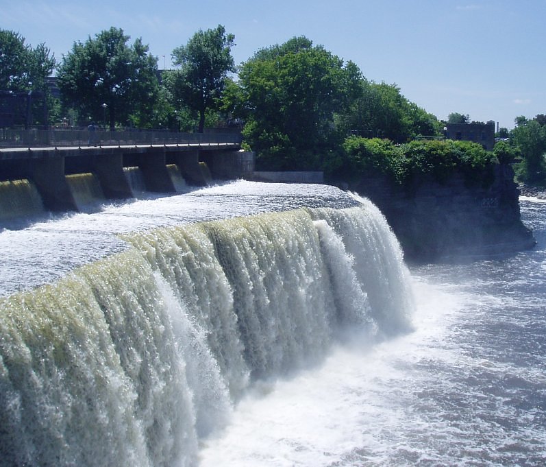
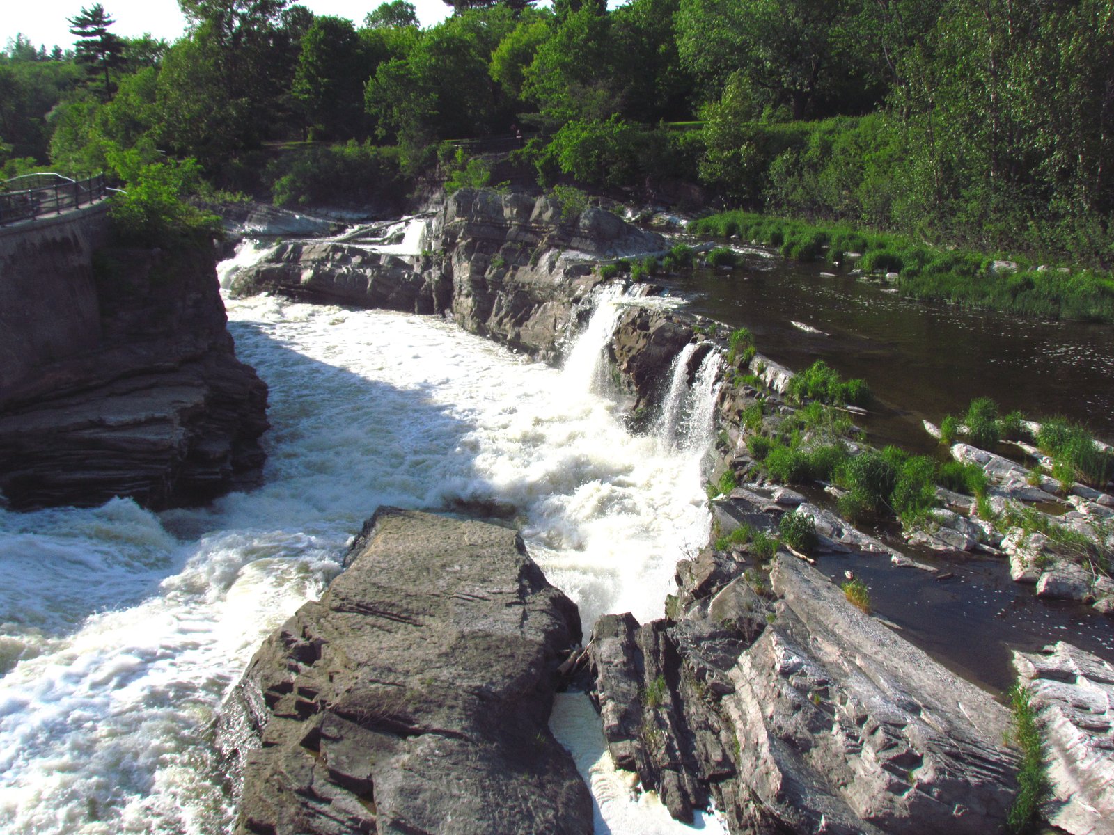
Chute du Voile-de-la-Mariée
By Armen Suny · Last verified Jun 2026
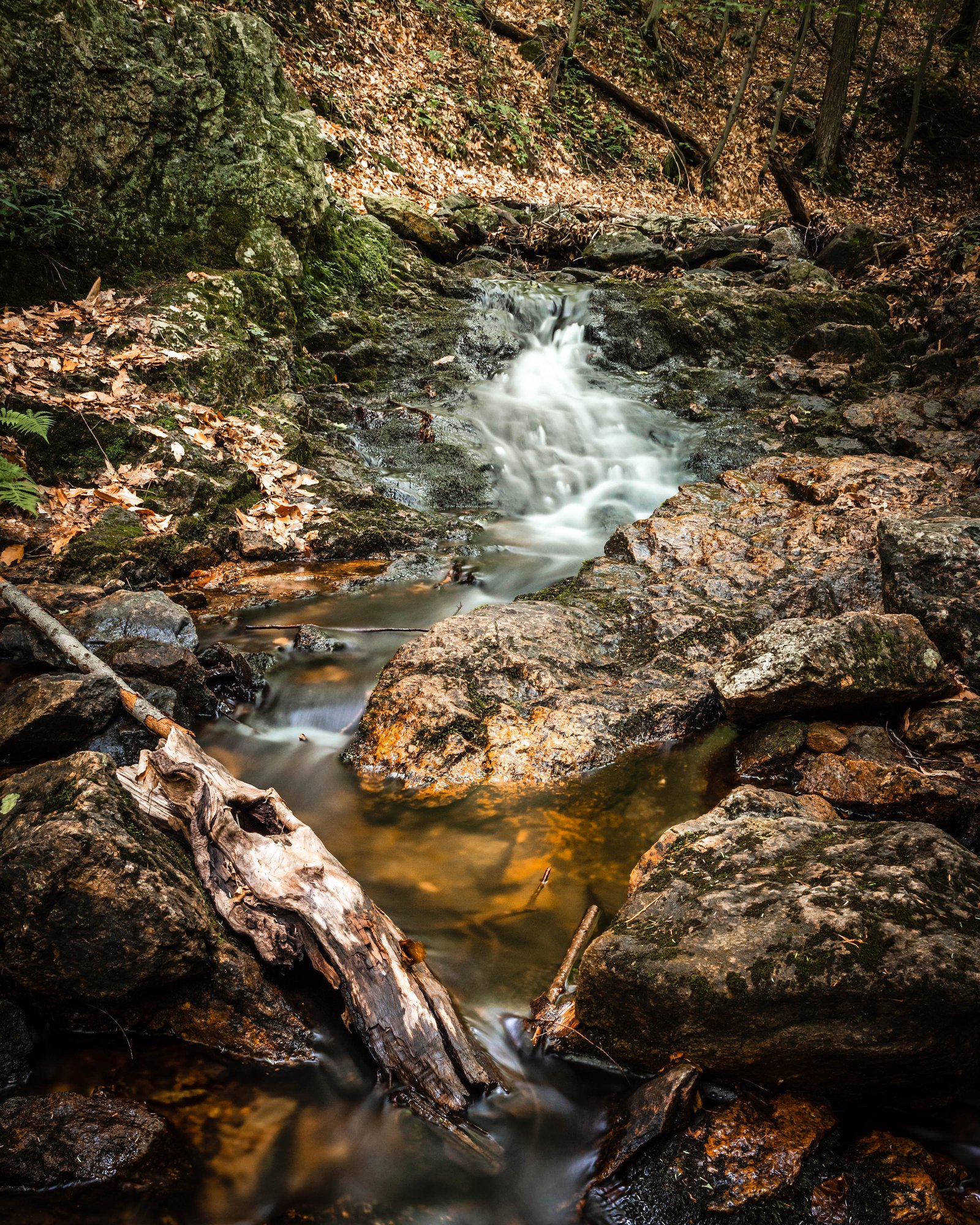
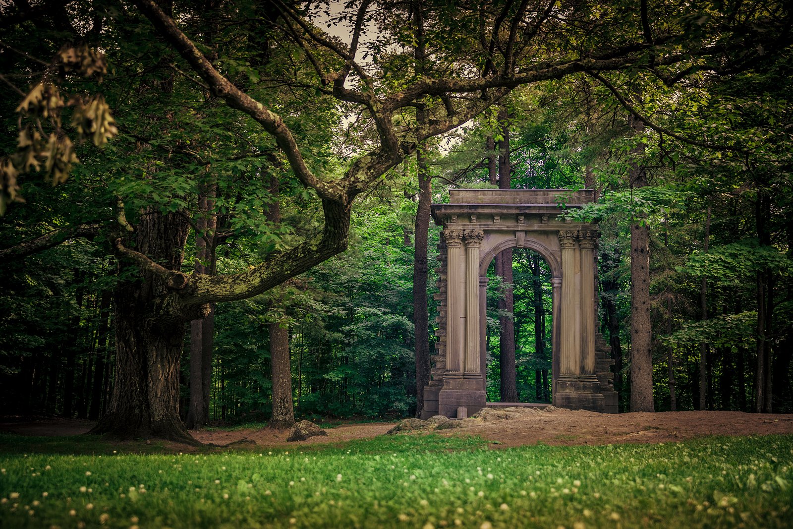
Photo Credits (5)
Difficulty
Easy
Trail Length
3.0 km
Trail Type
Loop
Elevation Gain
77 m
About Chute du Voile-de-la-Mariée
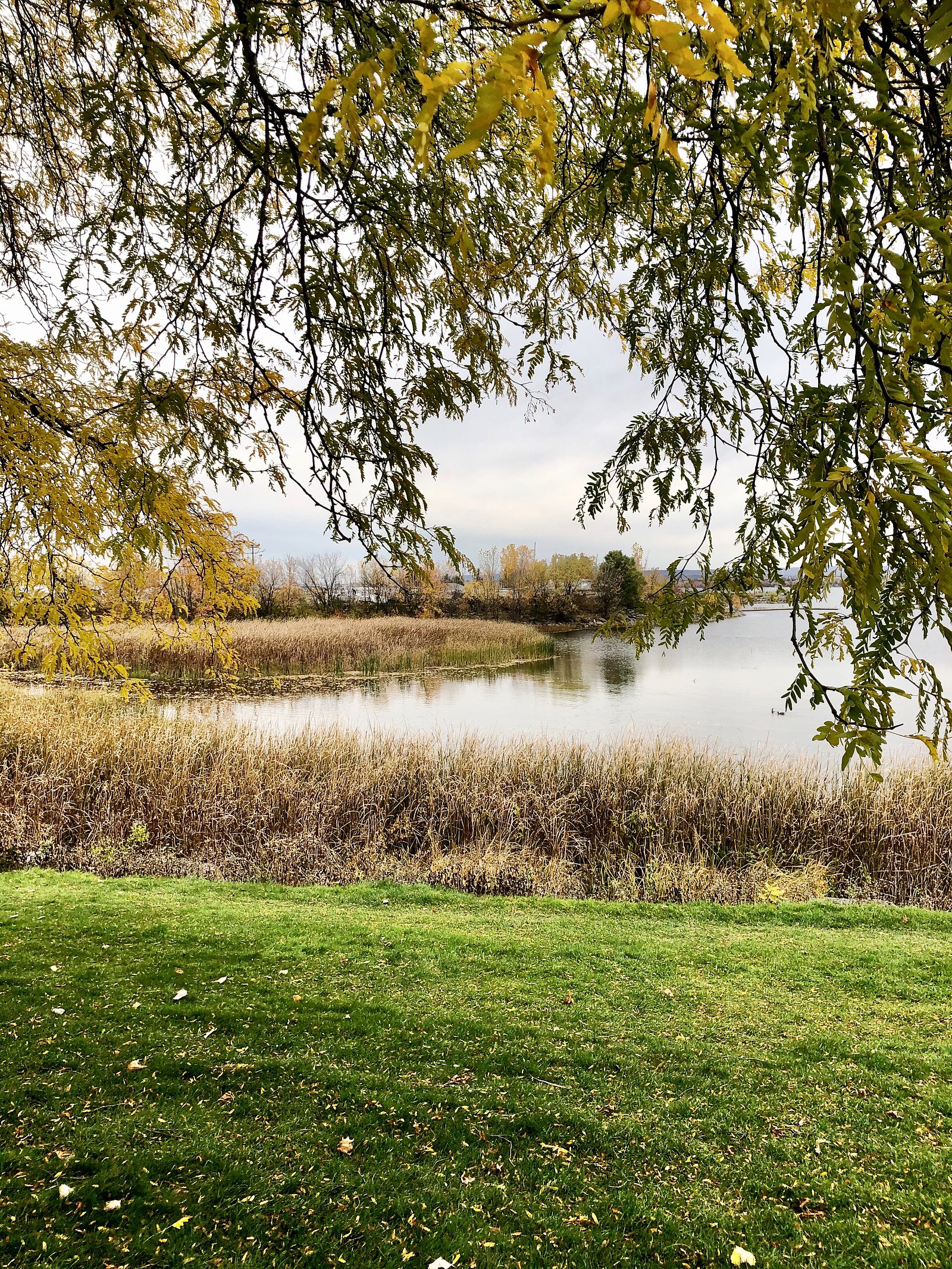
Chute du Voile-de-la-Mariée (Bride's Veil Falls) is a small to medium cascade-style waterfall in Quebec near Ottawa (coordinates: 45.4767, -75.8526). It is known locally for a scenic drop and a wooded approach. Specific published measurements and formal infrastructure information are limited; visitor descriptions suggest a natural, undeveloped setting with rocky ledges and a seasonal flow that is strongest in spring and after heavy rain.
The Setting
Chute du Voile-de-la-Mariée sits at 200 metres within Gatineau Park, in the foothills of Quebec.
Why This Waterfall Exists
Chute du Voile-de-la-Mariée flows over layered sedimentary rock laid down about 458-470 million years ago. Over time, the stream has worn through these layers at different rates, creating the step that forms the waterfall.
Nearby Falls Worth Visiting
Chutes Luskville (61 m) lies 12.7 kilometres to the northwest. Also nearby: Hog's Back Falls (18 m, 16.9 km) and Rideau Falls (11 m, 12.9 km).
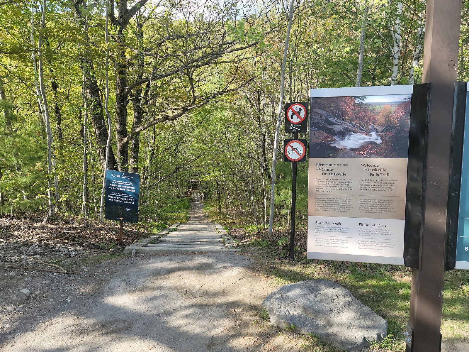
Trail & Hike Details
The Approach
The easy 3.0-km loop trail gains 77 metres of elevation on the way to the falls.
Trail Description
Trail information is not consistently documented in official sources. Reports from visitors indicate a short, unpaved path through mixed hardwood-conifer forest leading to viewpoints above and/or beside the falls. The approach may include roots, rocks, and muddy sections; there may not be a maintained boardwalk or stairs. Exact round-trip distance and elevation gain are not well documented.
What to Expect
Expect a natural, undeveloped waterfall setting with rocky banks and limited infrastructure. Flow volume varies seasonally, highest in spring melt and after heavy rain, lower during late summer dry spells. The area may have slippery rocks, exposed roots, and uneven footing. There may be limited cellphone reception. Wildlife typical of the Ottawa–Gatineau region (songbirds, small mammals, beavers, and occasionally larger mammals) can be present.
Accessibility
The trail is not wheelchair accessible. Uneven terrain and elevation changes require steady footing.
Frequently Asked Questions
🐶 Are Dogs Allowed at Chute du Voile-de-la-Mariée?
❌ Dogs are not allowed
Are There Any Fees or Permits Required?
🆖 No fees required
🏊 Is There Swimming at Chute du Voile-de-la-Mariée?
❌ Swimming is not allowed
When to Visit
Spring (snowmelt) typically offers the strongest flow and most dramatic photos. Early mornings or weekdays reduce the chance of encountering other visitors. Fall provides good foliage colors. In winter the falls may be partially frozen and scenic, but access can be icy and more hazardous.
Seasonal Access
The best time to visit is Spring, Summer, Fall, and Winter. Check with Gatineau Park for current conditions.
Safety Information
Hazards can include slippery rocks and ledges, steep drop-offs, cold and fast-moving water, unstable or eroded trail edges, and poor footing near the falls. In winter, ice and hard-packed snow increase the risk of falls. Cellphone reception may be limited. Do not climb on wet rocks or try to descend steep banks; supervise children closely. Check recent trip reports or local authorities for current conditions before visiting.
Current Water Conditions
685.0 m³/s
Current discharge — how much water is flowing
About average for this time of year
Based on 65 years of record
57.91 m
Water depth at gauge
7-Day Discharge Trend
What does this mean for your visit?
Flow is about average for this time of year.
About This Gauge
This gauge is on a nearby waterway and may not reflect exact conditions at the falls.
7-Day Flow Outlook
Based on the WSC gauge OTTAWA RIVER AT BRITANNIA (14 km away).
Today
Moderate
685 m³/s
8/10Tomorrow
Moderate
693 m³/s
6/10Tue
Moderate
755 m³/s
5/10Wed
Moderate
740 m³/s
5/10Thu
Moderate
663 m³/s
6/10Fri
Moderate
677 m³/s
5/10Sat
Moderate
645 m³/s
6/10Best window: Today — moderate flow, mainly sunny (trip score 8/10).
Best time of year: this gauge typically runs highest from late March to mid June, peaking in May.
How we calculate this
This is a transparent outlook, not a precise forecast. We take the waterfall's current flow strength (how it ranks against its historical normal for today, from the nearest WSC stream gauge), carry that ranking forward along the gauge's seasonal curve, and nudge it for forecast rain. Confidence is highest for the next day or two and falls further out. Always check official conditions and your own judgment before visiting — high flows can be dangerous.
Know when to go.
Get a free email alert when waterfalls near Ottawa hit peak flow. We only send when conditions are worth the trip — no weekly newsletters, no spam.
Weather Forecast
Location & Access
Getting There
Approximately 9.4 miles (about 15 km) from downtown Ottawa. Access is by car via local roads; exact access roads and trailhead locations vary by the local property/park boundaries. Visitors should use the provided coordinates (45.4767, -75.8526) in a GPS or map app to locate the nearest access point and confirm current road conditions before travel.
Get Directions on Google MapsParking
Parking appears to be informal and often roadside or a small unpaved pullout near the trailhead. There may be limited spaces and no formal lot, signage, or facilities; park legally and avoid blocking driveways or gates. Check local signage for private property or no-parking restrictions.
Elevation
200 metres above sea level
Coordinates
45.476655° N, -75.852573° W
Land Management
Managed by National Capital Commission (NCC)
Visitor Tips & Gear
• Wear sturdy, closed-toe footwear with good traction. • Be prepared for muddy and uneven terrain; trekking poles can help. • Park legally and avoid blocking narrow roads. • Bring a map or save offline maps; mobile signal may be unreliable. • Leave no trace: pack out all trash and avoid disturbing vegetation or wildlife. • Avoid getting close to cliff edges or slippery rocks; waterfalls can be hazardous even at low flow.
As an Amazon Associate, we earn from qualifying purchases.
This easy 3.0 km hike is straightforward — comfortable trail shoes and plenty of water should do. Icy conditions are common in winter — traction cleats are a smart addition.

Columbia Watertight II Rain Jacket
Packs into its own pocket, seam-sealed, and keeps you dry from spray and surprise rain.

Polarized Sunglasses (Knockaround)
Cuts glare off the water so you actually see the falls — and your photos turn out better too.

Earth Pak Waterproof Dry Bag
Keeps your phone and gear dry when waterfall mist soaks everything else.

Waterproof Phone Pouch (AiRunTech)
Cheap insurance — take photos right next to the falls without killing your phone.

Kahtoola MICROspikes
Cult-favorite traction cleats that grip ice and wet rock — essential for winter waterfall hikes.

JOBY GorillaPod Starter Kit
Wraps around railings and rocks for long-exposure waterfall shots — no flat surface needed.
Where to Stay
Browse vacation cabins and private rentals nearby
Unique outdoor stays — tents, yurts, and treehouses
Rent a campervan or RV for your waterfall road trip
Some links are affiliate links. We may earn a commission at no extra cost to you.
Nearby Campground
Tree house
6.6 km away
Additional Information
Nearby Attractions
The falls lie in the general Ottawa–Gatineau region; nearby recreational opportunities may include trails and viewpoints in the Gatineau/Ottawa area, conservation lands, and small river access points. Confirm specific nearby attractions with local tourism or park resources.
Wildlife
Common regional wildlife may include songbirds, woodpeckers, white-tailed deer, beavers, and small mammals. Black bears are present in parts of the broader region, be aware of general wildlife precautions (store food, keep distance). Ticks and mosquitoes can be common in spring and summer.
Cities near Chute du Voile-de-la-Mariée
Nearby Waterfalls
Writing about Chute du Voile-de-la-Mariée? Embed this waterfall on your site for free.