Inglis Falls
Ontario • 18 m
By Armen Suny · Last verified Jun 2026
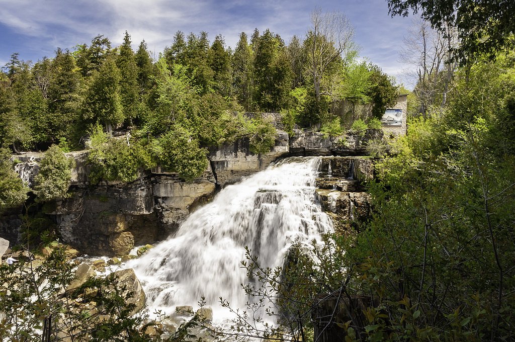
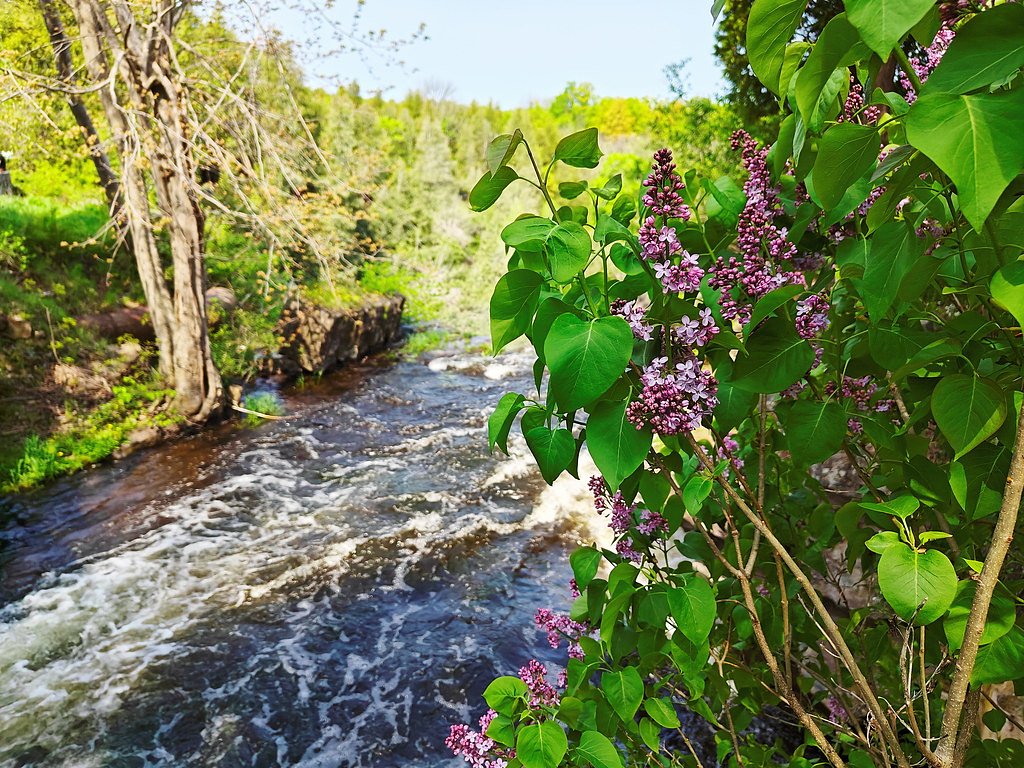
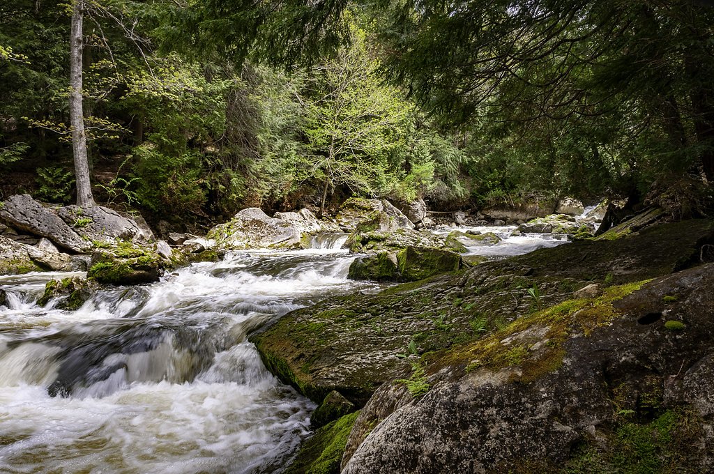
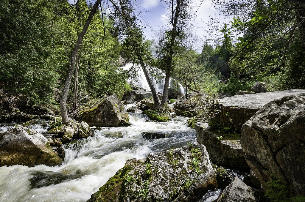

Photo Credits (5)
Difficulty
Moderate
Trail Length
6.3 km
Trail Type
Out And Back
Elevation Gain
191 m
About Inglis Falls
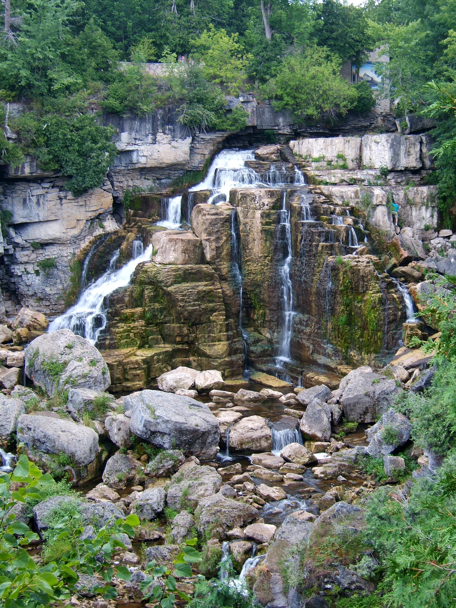
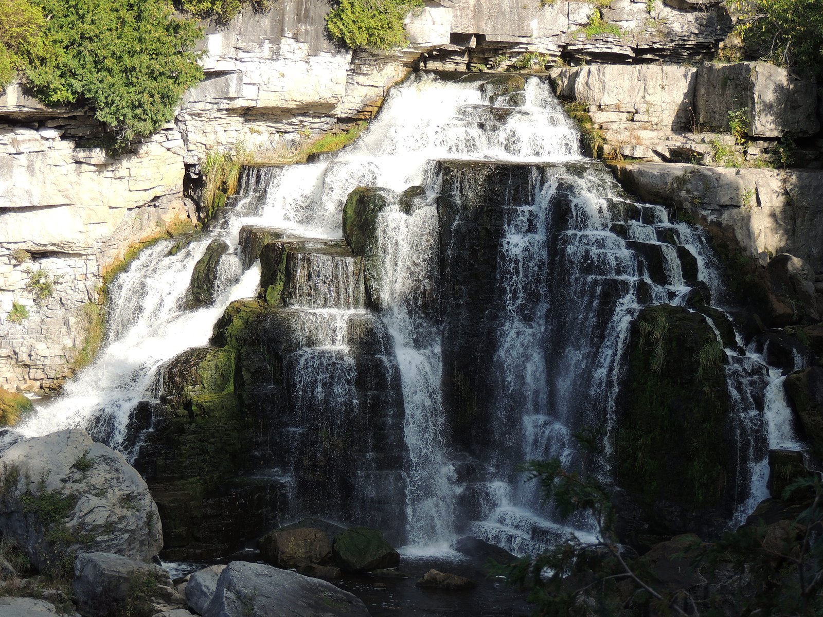
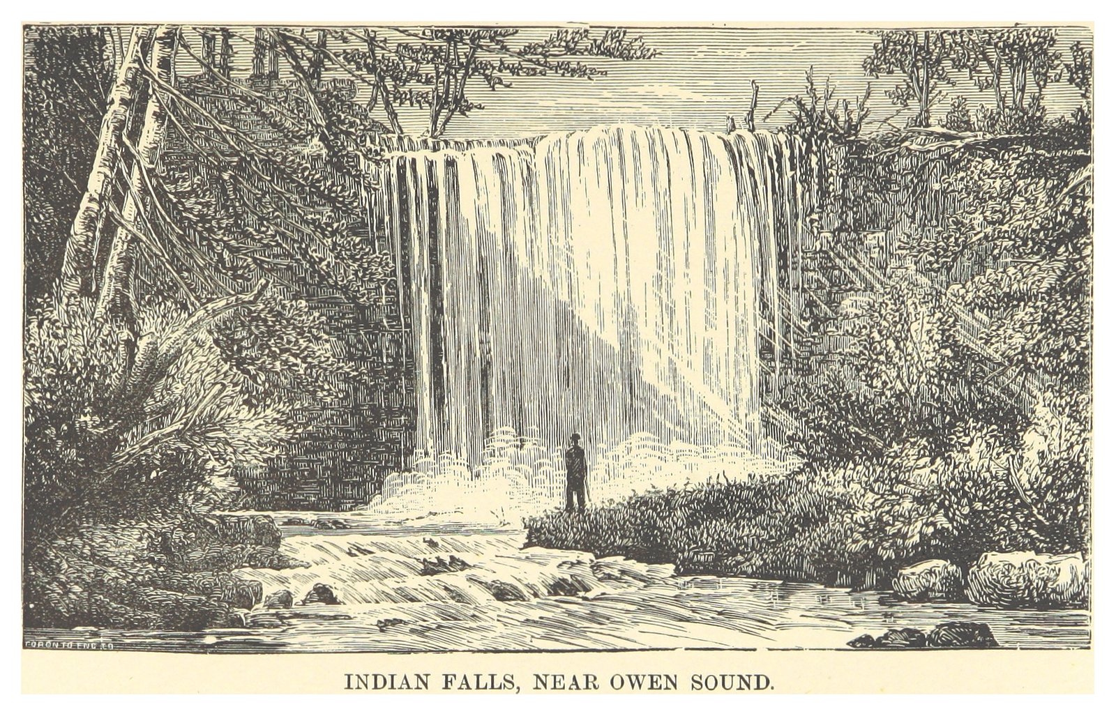
One of three waterfalls that surround the city of Owen Sound, Ontario, Canada, Inglis Falls is the largest and most impressive. It is also the most visited.
The Setting
Inglis Falls sits at 263 metres in the foothills of Ontario. The falls drop 18 metres.
Height: 60 feet
Trail & Hike Details
The Approach
The moderate 6.3-km out-and-back trail gains 191 metres of elevation on the way to the falls.
Trail Description
From the conservation area parking the main trail to Inglis Falls is a short forest walk that leads to one or more established viewpoints and platforms above and beside the falls. Trails include a mix of packed earth, stone steps and short stairways; some routes continue along the Sydenham River and connect with longer trail loops. The primary viewing area provides an elevated perspective on the cascade; there is also downstream and upstream walking available for visitors who want a longer hike.
What to Expect
The falls drop 18 metres.
Accessibility
The trail is not wheelchair accessible. Uneven terrain and elevation changes require steady footing.
Frequently Asked Questions
🐶 Are Dogs Allowed at Inglis Falls?
❌ Dogs are not allowed
Are There Any Fees or Permits Required?
🆖 No fees required
🏊 Is There Swimming at Inglis Falls?
❌ Swimming is not allowed
When to Visit
Spring for highest flows and full water volume; fall for foliage colors and pleasant hiking temperatures. Winter can offer dramatic frozen scenes but poses icy and hazardous conditions, only visit with proper winter equipment and caution. Summer is fine for a quick visit but expect more visitors and possibly lower flows in dry periods.
Seasonal Access
The best time to visit is Spring, Summer, Fall, and Winter. Check with the managing park or local authority for current conditions.
Safety Information
Hazards include steep drop-offs, slippery wet rock, fast-moving water and variable footing. Do not climb on railings or go beyond designated viewing areas. Winter conditions can create ice and unstable surfaces, use caution and appropriate traction devices. Cell service may be spotty; tell someone your plans and expected return time. Follow posted signs and any guidance from conservation authority staff.
Current Water Conditions
1.0 m³/s
Current discharge — how much water is flowing
About average for this time of year
Based on 91 years of record
4.93 m
Water depth at gauge
7-Day Discharge Trend
What does this mean for your visit?
Flow is about average for this time of year.
About This Gauge
7-Day Flow Outlook
Based on the WSC gauge SYDENHAM RIVER NEAR OWEN SOUND (1 km away).
Today
Moderate
1.0 m³/s
9/10Tomorrow
Moderate
1.0 m³/s
8/10Tue
Strong
1.1 m³/s
8/10Wed
Strong
1.1 m³/s
8/10Thu
Moderate
0.9 m³/s
9/10Fri
Strong
1.0 m³/s
8/10Sat
Moderate
0.9 m³/s
8/10Best window: Today — moderate flow, mainly sunny (trip score 9/10).
Best time of year: this gauge typically runs highest from early March to mid May, peaking in April.
How we calculate this
This is a transparent outlook, not a precise forecast. We take the waterfall's current flow strength (how it ranks against its historical normal for today, from the nearest WSC stream gauge), carry that ranking forward along the gauge's seasonal curve, and nudge it for forecast rain. Confidence is highest for the next day or two and falls further out. Always check official conditions and your own judgment before visiting — high flows can be dangerous.
Know when to go.
Get a free email alert when waterfalls near Owen Sound hit peak flow. We only send when conditions are worth the trip — no weekly newsletters, no spam.
Weather Forecast
Location & Access
Getting There
Inglis Falls is located just outside Owen Sound, Ontario (coordinates ~44.5263, -80.9341). From Owen Sound follow local signage to Inglis Falls Conservation Area/park, the falls are accessed from the conservation area parking and marked trailheads. The falls are approximately 5–6 miles southwest of downtown Owen Sound and are reachable by car; check local maps or the Grey Sauble Conservation Authority website for exact directions and current access notes.
Get Directions on Google MapsParking
There is a small parking area for the Inglis Falls Conservation Area adjacent to the trailhead. Parking may be limited on busy days. Check for posted signs about parking rules or fees; confirm current details with the managing conservation authority.
Elevation
263 metres above sea level
Coordinates
44.526250° N, -80.934136° W
Visitor Tips & Gear
Wear sturdy, slip-resistant footwear; trails and rocks can be wet and slick. Bring insect repellent in warm months and traction devices (microspikes) in winter. Stay behind railings and on marked trails, cliff edges and wet rock are dangerous. Parking can fill quickly on warm weekends, so visit early if possible. Follow Leave No Trace principles; pack out trash. Check the Grey Sauble Conservation Authority or local park signage for any advisories or temporary closures before you go.
As an Amazon Associate, we earn from qualifying purchases.
With 6.3 km and 191 m of elevation gain, sturdy boots and trekking poles will help on this moderate trail. Icy conditions are common in winter — traction cleats are a smart addition.

Columbia Watertight II Rain Jacket
Packs into its own pocket, seam-sealed, and keeps you dry from spray and surprise rain.

Polarized Sunglasses (Knockaround)
Cuts glare off the water so you actually see the falls — and your photos turn out better too.

Earth Pak Waterproof Dry Bag
Keeps your phone and gear dry when waterfall mist soaks everything else.

Waterproof Phone Pouch (AiRunTech)
Cheap insurance — take photos right next to the falls without killing your phone.

Timberland Euro Sprint Mid Waterproof
Trusted waterproof boot with premium leather and grippy rubber sole — reliable on rocky, wet trails.

TrailBuddy Trekking Poles
Lightweight aluminum, cork grips, and flip-locks that actually hold — a best-seller for good reason.
Where to Stay
Browse vacation cabins and private rentals nearby
Unique outdoor stays — tents, yurts, and treehouses
Rent a campervan or RV for your waterfall road trip
Some links are affiliate links. We may earn a commission at no extra cost to you.
Nearby Campground
Harrison Park Family Campground
2 km away
Additional Information
Nearby Attractions
Owen Sound waterfront and parks, local sections of the Bruce Trail, other conservation areas and scenic viewpoints in the Grey/Bruce region. Check local tourism resources for up-to-date lists and distances.
Wildlife
Typical southern Ontario species can be seen: songbirds, woodpeckers, small mammals (squirrels, raccoons), white-tailed deer, and various amphibians and insects. Be aware of ticks in warmer months.
Cities near Inglis Falls
Nearby Waterfalls
Writing about Inglis Falls? Embed this waterfall on your site for free.