Holloway Falls
By Armen Suny · Last verified Jun 2026
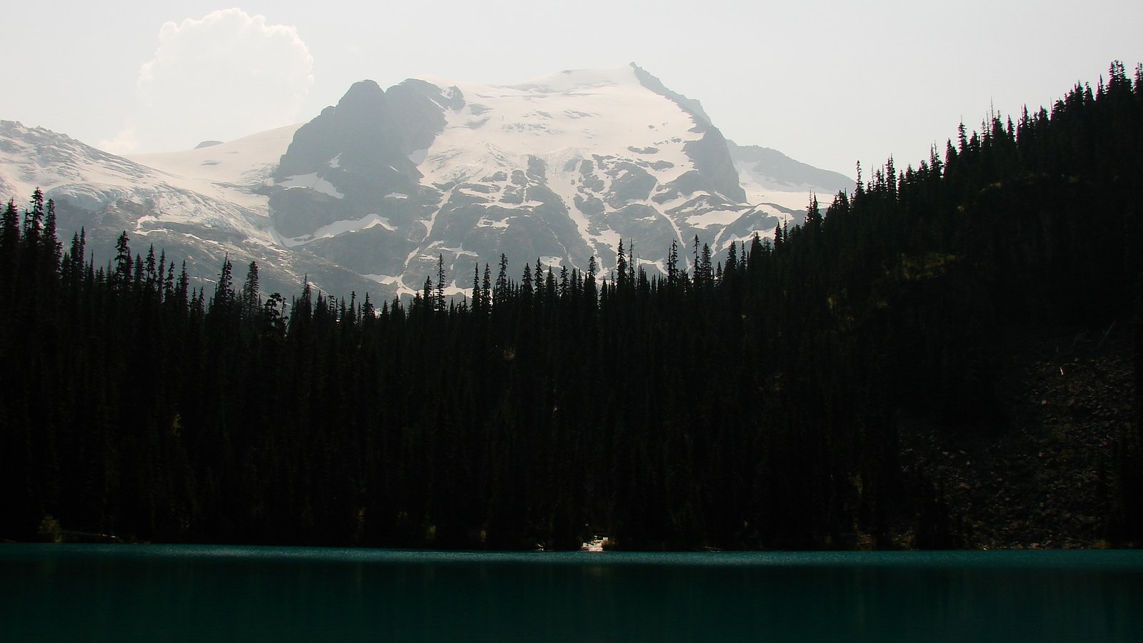
Photo Credits (5)
Difficulty
Moderate
Trail Length
9.2 km
Trail Type
Out And Back
Elevation Gain
361 m
About Holloway Falls
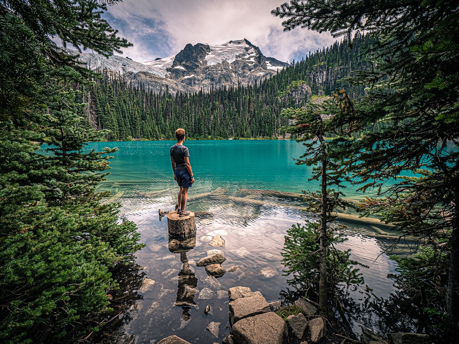
Holloway Falls sits within Joffre Lakes Park in British Columbia, managed by the Government of British Columbia. Nestled in this park setting, the falls are a rewarding destination for visitors exploring the park's trail network and offer a scenic stop amid the park's protected landscapes. The walk to Holloway Falls is part of a moderate hike: the route is listed at about 5.7 miles with roughly 1, 185 feet of elevation gain and is an out-and-back. For overnight trips, Upper Joffre Lake Campground is very nearby, only about 0.72 km away, making it easy to combine a camping stay with an early-morning or late-afternoon visit to the falls.
The Setting
Holloway Falls sits at 1,537 metres within JOFFRE LAKES PARK, in the high mountains of British Columbia.
Why This Waterfall Exists
Holloway Falls flows over hard intrusive rock laid down about 66-145 million years ago. These resistant rocks form a durable ledge that water cannot easily wear away, creating the falls where softer material downstream has already eroded.
Nearby Falls Worth Visiting
Place Creek Falls (122 m) lies 16.9 kilometres to the northwest.
Trail & Hike Details
The Approach
The moderate 9.2-km out-and-back trail gains 361 metres of elevation on the way to the falls.
Accessibility
The trail involves steep, uneven terrain with significant elevation change and is not accessible to mobility devices.
Frequently Asked Questions
🐶 Are Dogs Allowed at Holloway Falls?
❌ Dogs are not allowed
Are There Any Fees or Permits Required?
🆖 No fees required
🏊 Is There Swimming at Holloway Falls?
❌ Swimming is not allowed
When to Visit
Current Water Conditions
These readings come from the Water Survey of Canada gauge on Lillooet River, 22.8 km away, not on Holloway Falls's own stream. Use them as a sign of whether the area is running wet or dry.
44.6 m³/s
Current discharge — how much water is flowing
Lower than usual for this time of year
Based on 104 years of record
1.87 m
Water depth at gauge
7-Day Discharge Trend
What does this mean for your visit?
Flow is lower than usual for this time of year.
About This Gauge
This gauge is on a nearby waterway and may not reflect exact conditions at the falls.
7-Day Flow Outlook
Based on the WSC gauge LILLOOET RIVER NEAR PEMBERTON (23 km away).
Today
Low
44 m³/s
5/10Tomorrow
Low
42 m³/s
5/10Sat
Low
43 m³/s
4/10Sun
Low
44 m³/s
4/10Mon
Low
45 m³/s
5/10Tue
Low
42 m³/s
5/10Wed
Low
41 m³/s
5/10Best window: Today — low flow, cloudy (trip score 5/10).
Best time of year: this gauge typically runs highest from early June to late August, peaking in July.
How we calculate this
This is a transparent outlook, not a precise forecast. We take the waterfall's current flow strength (how it ranks against its historical normal for today, from the nearest WSC stream gauge), carry that ranking forward along the gauge's seasonal curve, and nudge it for forecast rain. Confidence is highest for the next day or two and falls further out. Always check official conditions and your own judgment before visiting — high flows can be dangerous.
Know when to go.
Get a free email alert when waterfalls near Lillooet hit peak flow. We only send when conditions are worth the trip — no weekly newsletters, no spam.
Weather Forecast
Location & Access
Elevation
1,537 metres above sea level
Coordinates
50.350300° N, -122.479425° W
Land Management
Managed by Government of British Columbia
Visitor Tips & Gear
As an Amazon Associate, we earn from qualifying purchases.
With 9.2 km and 361 m of elevation gain, sturdy boots and trekking poles will help on this moderate trail.

Columbia Watertight II Rain Jacket
Packs into its own pocket, seam-sealed, and keeps you dry from spray and surprise rain.

Earth Pak Waterproof Dry Bag
Keeps your phone and gear dry when waterfall mist soaks everything else.

Waterproof Phone Pouch (AiRunTech)
Cheap insurance — take photos right next to the falls without killing your phone.

Timberland Euro Sprint Mid Waterproof
Trusted waterproof boot with premium leather and grippy rubber sole — reliable on rocky, wet trails.

TrailBuddy Trekking Poles
Lightweight aluminum, cork grips, and flip-locks that actually hold — a best-seller for good reason.

Sawyer Squeeze Water Filter
The backcountry standard — filters 99.9% of bacteria and weighs just 3 oz.
Where to Stay
Browse vacation cabins and private rentals nearby
Unique outdoor stays — tents, yurts, and treehouses
Rent a campervan or RV for your waterfall road trip
Some links are affiliate links. We may earn a commission at no extra cost to you.
Nearby Campground
Upper Joffre Lake Campground
0.7 km away
Additional Information
Cities near Holloway Falls
Nearby Waterfalls
Writing about Holloway Falls? Embed this waterfall on your site for free.