Photo Credits (1)
Difficulty
Moderate
Trail Length
1.1 km
Trail Type
Loop
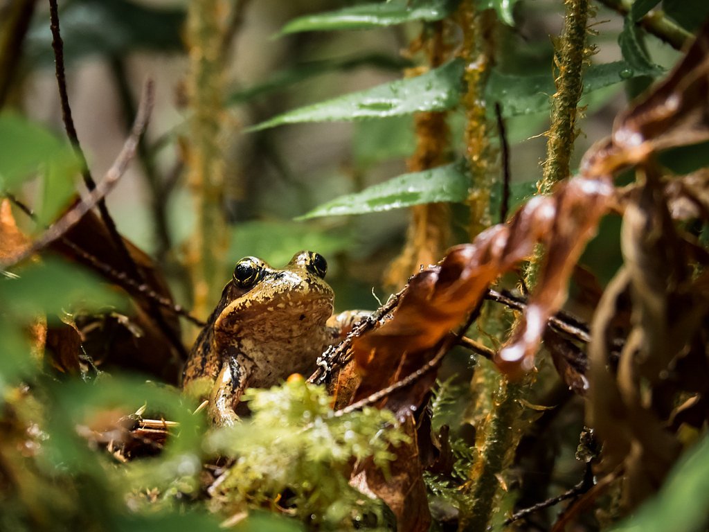
About Frog Falls
Frog Falls is a small to medium cascade-style waterfall located in the Revelstoke area of British Columbia, Canada (approx. 17.7 miles / ~28.5 km from Revelstoke). The falls sit near coordinates 50.895, -118.4795. Reports indicate the waterfall is in a forested mountain setting and is most impressive during spring high runoff and after heavy rain. Specific published measurements for total drop are not readily available.
Why This Waterfall Exists
Frog Falls flows over loose river sediment, primarily alluvium, laid down about 3 million years ago. These soft rocks erode readily, allowing the stream to carve a vertical drop into the landscape.
Trail & Hike Details
Trail Description
Detailed, confirmed trail descriptions and step-by-step route information are not available in the sources consulted. Approaches to Frog Falls are reported to require travel on forest roads and a final walking route through forested, uneven terrain. Trails (where present) may be unsigned, involve wet or muddy sections, and could include short scrambles or steep sections near the falls. If following a local or user-contributed route, expect variable trail quality and limited maintenance.
What to Expect
Expect a forested mountain setting with mossy rock, fallen logs, and wet, uneven ground. Water flow at the falls will be highest in spring and after heavy rains. There may be little to no infrastructure (rails, viewing platforms) and limited signage. Cell service may be unreliable. Wildlife (e.g., black bears, small mammals) is possible in the area.
Accessibility
The trail is not wheelchair accessible. Uneven terrain and elevation changes require steady footing.
Frequently Asked Questions
🐶 Are Dogs Allowed at Frog Falls?
❌ Dogs are not allowed
Are There Any Fees or Permits Required?
🆖 No fees required
🏊 Is There Swimming at Frog Falls?
❌ Swimming is not allowed
When to Visit
Spring and early summer for highest flows; late summer and fall for easier access on dry trails and clearer weather. Winter visits may be possible but can be hazardous due to snow, ice, avalanche risk, and closed forest roads.
Seasonal Access
The best time to visit is Spring, Summer, Fall, and Winter. Check with the managing park or local authority for current conditions.
Safety Information
Hazards may include slippery rocks and roots, steep or unstable banks near the falls, strong currents, cold water, variable weather, limited or no cell service, seasonal road closures, and wildlife encounters. Use caution near edges, do not climb on wet rocks, and avoid risky approaches for photographs. Check local avalanche forecasts and road conditions in winter/spring. If you are unfamiliar with backcountry travel, consider going with an experienced local guide or group.
Current Water Conditions
42.3 m³/s
Current discharge — how much water is flowing
About average for this time of year
Based on 67 years of record
1.74 m
Water depth at gauge
7-Day Discharge Trend
What does this mean for your visit?
Flow is about average for this time of year.
About This Gauge
This gauge is on a nearby waterway and may not reflect exact conditions at the falls.
7-Day Flow Outlook
Based on the WSC gauge EAGLE RIVER NEAR MALAKWA (23 km away).
Today
Moderate
42 m³/s
8/10Tomorrow
Moderate
40 m³/s
6/10Tue
Moderate
41 m³/s
6/10Wed
Moderate
38 m³/s
6/10Thu
Moderate
39 m³/s
5/10Fri
Moderate
41 m³/s
5/10Sat
Moderate
34 m³/s
6/10Best window: Today — moderate flow, mainly sunny (trip score 8/10).
Best time of year: this gauge typically runs highest from late April to late July, peaking in June.
How we calculate this
This is a transparent outlook, not a precise forecast. We take the waterfall's current flow strength (how it ranks against its historical normal for today, from the nearest WSC stream gauge), carry that ranking forward along the gauge's seasonal curve, and nudge it for forecast rain. Confidence is highest for the next day or two and falls further out. Always check official conditions and your own judgment before visiting — high flows can be dangerous.
Know when to go.
Get a free email alert when waterfalls near Revelstoke hit peak flow. We only send when conditions are worth the trip — no weekly newsletters, no spam.
Weather Forecast
Location & Access
Getting There
The falls are located roughly 17.7 miles (about 28–29 km) from Revelstoke by road. Exact driving directions, road names, and the final access route (including any forest service roads) vary by source and season; visitors should consult current local maps or the Revelstoke visitor centre before traveling. Some approaches may use unpaved or seasonal forest roads.
Get Directions on Google MapsParking
Parking information is not well documented. There may be limited or informal roadside parking at a trailhead or pullout; expect minimal facilities (no formal lot, restroom, or signage in some approaches). Park legally and avoid blocking narrow roads.
Elevation
606 metres above sea level
Coordinates
50.895040° N, -118.479474° W
Visitor Tips & Gear
1) Confirm current access and road conditions with local authorities or visitor centres before you go. 2) Wear sturdy, waterproof footwear, approaches may be muddy, wet, or slippery. 3) Bring a map and navigation tools; routes may be unsigned. 4) Carry bear spray and know how to use it; make noise while hiking. 5) Do not approach unstable edges; rock and root underfoot can be slippery. 6) Pack out all trash and follow Leave No Trace principles.
Where to Stay
Browse vacation cabins and private rentals nearby
Unique outdoor stays — tents, yurts, and treehouses
Rent a campervan or RV for your waterfall road trip
Some links are affiliate links. We may earn a commission at no extra cost to you.
Nearby Campground
Wap Lake West Recreation Site
6.9 km away
Additional Information
Nearby Attractions
Revelstoke townsite (visitor services), Mount Revelstoke National Park and Glacier National Park (region), Revelstoke Mountain Resort, local hiking trails and viewpoints. Exact distances vary, check local maps for planning.
Wildlife
Black bears, deer, small mammals, various bird species, and possibly larger mammals such as moose in the broader region. Take normal backcountry wildlife precautions.
Cities near Frog Falls
Nearby Waterfalls
Writing about Frog Falls? Embed this waterfall on your site for free.