Faribault Brook Falls
By Armen Suny · Last verified Jun 2026
Difficulty
Hard
Trail Length
20.0 km
Trail Type
Out And Back
Elevation Gain
800 m
About Faribault Brook Falls
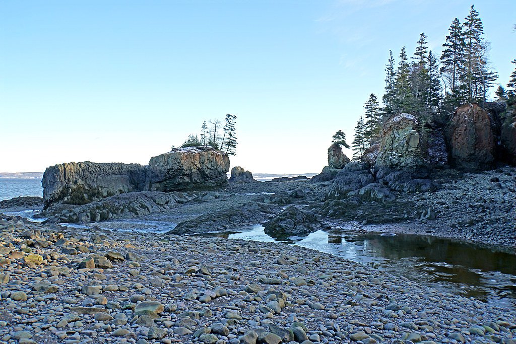
Faribault Brook Falls is a small forested cascade on Cape Breton Island in Nova Scotia (coords 46.6025, -60.9066). The falls sit on a brook draining into the surrounding lakes and wooded valleys and are not a heavily developed or serviced tourist site. Flow is typically highest in spring runoff and after heavy rain; in winter the falls may form ice features. Access appears to be via local/forestry roads and short hikes rather than a developed park infrastructure, so visitors should expect natural, unmaintained conditions and limited signage.
Why This Waterfall Exists
Faribault Brook Falls flows over hard intrusive rock laid down about 359-419 million years ago. These resistant rocks form a durable ledge that water cannot easily wear away, creating the falls where softer material downstream has already eroded.
Nearby Falls Worth Visiting
Aucoin Brook Fall (30 m) lies 10.5 kilometres to the north.
Trail & Hike Details
The Approach
The hard 20.0-km out-and-back trail gains 800 metres of elevation on the way to the falls.
Trail Description
There does not appear to be a highly-developed or waymarked trail to Faribault Brook Falls. Access is typically via a short walk from a roadside pullout or along an unmaintained footpath through mixed forest. The route may be rocky, muddy, and uneven with steep or slippery sections near the water. Expect minimal trail infrastructure (no boardwalks, railings, or vault toilets).
What to Expect
Natural, unmaintained terrain: forested paths, wet and rocky approaches to the brook, potentially steep or eroded banks near the falls. Limited or no signage and few facilities. Spring runoff and heavy rain increase water flow and slippery conditions. Summer brings biting insects (black flies/mosquitoes). Winter conditions can include deep snow, ice, and very slippery surfaces; a snowmobile or snowshoe approach may be required when roads are closed.
Accessibility
The trail involves steep, uneven terrain with significant elevation change and is not accessible to mobility devices.
Frequently Asked Questions
🐶 Are Dogs Allowed at Faribault Brook Falls?
❌ Dogs are not allowed
Are There Any Fees or Permits Required?
🆖 No fees required
🏊 Is There Swimming at Faribault Brook Falls?
❌ Swimming is not allowed
When to Visit
Late spring (high water from snowmelt and rain) for the fullest flow; early fall for foliage and lower insect activity. Summer offers easier road access but can have lower flows and more bugs. Winter produces ice formations but access can be difficult or unsafe without appropriate winter gear and knowledge of conditions.
Seasonal Access
The best time to visit is Spring, Summer, Fall, and Winter. Check with the managing park or local authority for current conditions.
Safety Information
Hazards may include slippery rocks, unstable banks, strong currents near the falls, cold water temperatures, poor footing, limited cell service, seasonal road or trail closures, and presence of biting insects. Use caution near the water's edge, avoid cliff edges, and do not attempt climbing or jumping. In winter, ice can be treacherous, avoid walking on frozen water unless you are certain of ice thickness and safety. If logging or forestry operations are active in the area, keep clear of machinery and follow posted detours.
Current Water Conditions
2.3 m³/s
Current discharge — how much water is flowing
About average for this time of year
Based on 64 years of record
0.97 m
Water depth at gauge
7-Day Discharge Trend
What does this mean for your visit?
Flow is about average for this time of year.
About This Gauge
7-Day Flow Outlook
Based on the WSC gauge CHETICAMP RIVER ABOVE ROBERT BROOK (5 km away).
Today
Barely Flowing
1.7 m³/s
3/10Tomorrow
Barely Flowing
1.6 m³/s
4/10Tue
Barely Flowing
1.6 m³/s
4/10Wed
Barely Flowing
1.8 m³/s
3/10Thu
Low
1.8 m³/s
3/10Fri
Low
2.0 m³/s
4/10Sat
Low
1.7 m³/s
4/10Best window: Tomorrow — barely flowing flow, cloudy (trip score 4/10).
Best time of year: this gauge typically runs highest from early April to early June, peaking in May.
How we calculate this
This is a transparent outlook, not a precise forecast. We take the waterfall's current flow strength (how it ranks against its historical normal for today, from the nearest WSC stream gauge), carry that ranking forward along the gauge's seasonal curve, and nudge it for forecast rain. Confidence is highest for the next day or two and falls further out. Always check official conditions and your own judgment before visiting — high flows can be dangerous.
Know when to go.
Get a free email alert when waterfalls near Baddeck hit peak flow. We only send when conditions are worth the trip — no weekly newsletters, no spam.
Weather Forecast
Location & Access
Getting There
Located at approximately 46.6025 N, -60.9066 W on Cape Breton Island. Rough road time: about 31.2 miles from Baddeck and about 53.4 miles from Sydney (distances provided by user). Use GPS coordinates for the final approach. Final access may require travel on secondary or forestry roads; a high-clearance vehicle may be helpful. Expect areas of limited cell coverage.
Get Directions on Google MapsParking
No formal parking lot is known. Visitors should expect roadside pullouts or informal parking at the trailhead/forestry road access. Park clear of the travel lane and avoid blocking gates or private driveways. If you encounter signed private property, respect closures.
Elevation
369 metres above sea level
Coordinates
46.602528° N, -60.906583° W
Visitor Tips & Gear
• Use GPS coordinates for navigation and verify local road conditions before departure. • Wear sturdy, waterproof footwear with good traction, rocks near the falls are slippery. • Bring insect repellent in spring and summer. • Expect limited or no cell service; tell someone your plan and expected return time. • Do not climb on unstable banks or wet rocks near the edge. • Respect private property and forestry operations; observe any posted signs or gates. • Pack out all trash and follow Leave No Trace principles.
As an Amazon Associate, we earn from qualifying purchases.
This challenging 20.0 km trail gains 800 m in elevation — come prepared with proper hiking boots and trekking poles. Icy conditions are common in winter — traction cleats are a smart addition.

Columbia Watertight II Rain Jacket
Packs into its own pocket, seam-sealed, and keeps you dry from spray and surprise rain.

Sawyer Squeeze Water Filter
The backcountry standard — filters 99.9% of bacteria and weighs just 3 oz.

Earth Pak Waterproof Dry Bag
Keeps your phone and gear dry when waterfall mist soaks everything else.

Waterproof Phone Pouch (AiRunTech)
Cheap insurance — take photos right next to the falls without killing your phone.

Timberland Euro Sprint Mid Waterproof
Trusted waterproof boot with premium leather and grippy rubber sole — reliable on rocky, wet trails.

TrailBuddy Trekking Poles
Lightweight aluminum, cork grips, and flip-locks that actually hold — a best-seller for good reason.
Where to Stay
Browse vacation cabins and private rentals nearby
Unique outdoor stays — tents, yurts, and treehouses
Rent a campervan or RV for your waterfall road trip
Some links are affiliate links. We may earn a commission at no extra cost to you.
Nearby Campground
Cheticamp Campground
6.2 km away
Additional Information
Nearby Attractions
General attractions on Cape Breton Island include the Cabot Trail, Bras d'Or Lake scenery, and trail systems and lookouts around Baddeck. Specific proximity to named trails or provincial parks is not confirmed for this waterfall.
Wildlife
Typical Cape Breton wildlife may be present: white-tailed deer, moose, foxes, black bears (less commonly encountered but possible), and numerous bird species. Expect biting insects (black flies, mosquitoes) in warmer months and ticks in some areas.
Cities near Faribault Brook Falls
Nearby Waterfalls
Writing about Faribault Brook Falls? Embed this waterfall on your site for free.