Falls Creek Falls
British Columbia • 22 m
By Armen Suny · Last verified Jun 2026
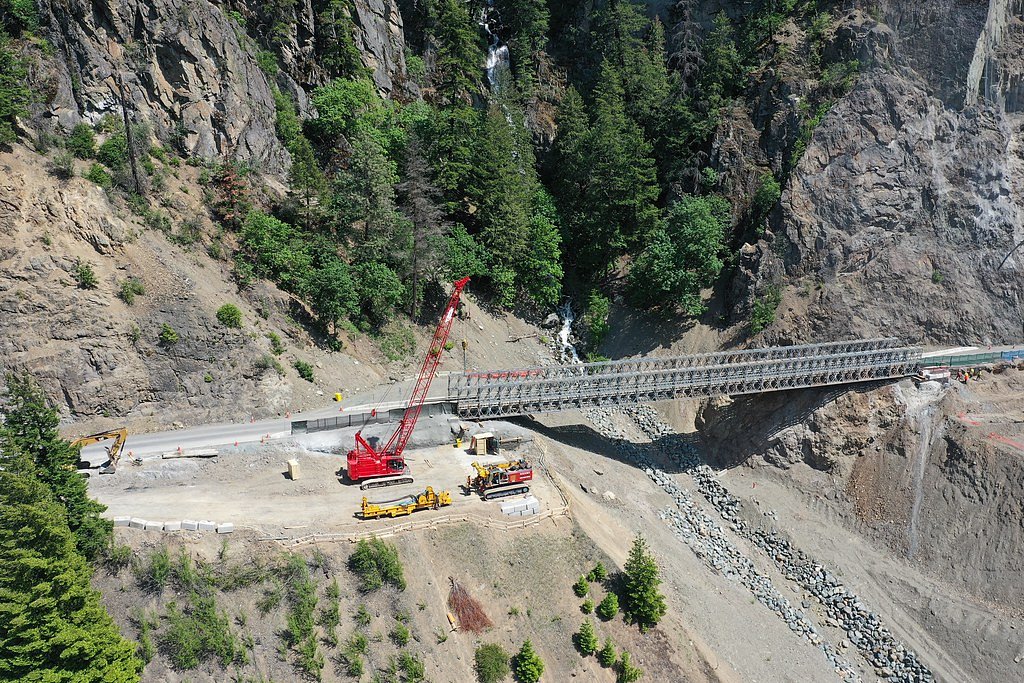
Photo Credits (5)
Difficulty
Drive Up
Trail Length
0.2 km
Trail Type
Out And Back
About Falls Creek Falls
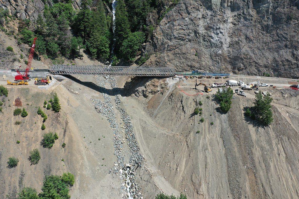
Falls Creek Falls is a seasonal waterfall on Falls Creek in the Bridge River / Lillooet region of southwestern British Columbia. The falls are located at approximately 50.0659, -121.5435 (user-supplied coordinates) and lie roughly 46.7 miles (about 75 km) by road from Lillooet. Flow is typically highest in spring and early summer from snowmelt and lower by late summer; the setting is remote and rugged and access is commonly via unpaved forestry or logging roads with an off-trail or minimally maintained final approach.
The Setting
Falls Creek Falls sits at 369 metres within Wildlife Habitat Areas, in the foothills of British Columbia. The falls drop 22 metres.
Why This Waterfall Exists
Falls Creek Falls flows over layered sedimentary rock laid down about 66-201 million years ago. Over time, the stream has worn through these layers at different rates, creating a 72-foot drop that forms the waterfall.
Trail & Hike Details
The Approach
No hiking required. Falls Creek Falls is accessible by vehicle with a roadside viewing area.
Trail Description
There may be little or no maintained trail to a developed viewpoint. Typical visitor reports for remote falls in this region describe a short, unmarked approach from a forestry road followed by a steep, potentially slippery scramble to the creek or viewpoint. Expect rocky, uneven terrain, possible brush, and route-finding across informal use paths. If a viewing platform exists it is likely minimal or informal.
What to Expect
The falls drop 22 metres over layered sedimentary rock.
Accessibility
This waterfall is viewable from a vehicle-accessible area. No hiking is required.
Frequently Asked Questions
🐶 Are Dogs Allowed at Falls Creek Falls?
❌ Dogs are not allowed
Are There Any Fees or Permits Required?
🆖 No fees required
🏊 Is There Swimming at Falls Creek Falls?
❌ Swimming is not allowed
When to Visit
Spring and early summer for the largest, most dramatic flows (snowmelt). Late summer can offer easier road access and lower flows for safer scrambling, but the falls may be reduced. Winter access is likely difficult or unsafe without specialized equipment because of snow and icy roads.
Seasonal Access
The best time to visit is Spring, Summer, and Fall. Winter access may be limited. Check with the managing park or local authority for current conditions.
Safety Information
Hazards include slippery rocks, unstable or steep cliff edges, strong currents at the base of the falls, sudden increases in flow after rain or snowmelt, poor or no cell service, and variable road conditions on unpaved forestry roads. There may be active logging or seasonal road closures. Always check weather and local road/forest service notices, travel with others when possible, and avoid risky viewpoints or cliff edges. If you are unfamiliar with backcountry travel, consider going with experienced companions or a guide.
Current Water Conditions
Based on a Water Survey of Canada gauge 26 km away
36.6 m³/s
Current discharge — how much water is flowing
Lower than usual for this time of year
Based on 50 years of record
1.33 m
Water depth at gauge
7-Day Discharge Trend
What does this mean for your visit?
Flow is lower than usual for this time of year.
About This Gauge
This gauge is on a regional waterway. Conditions at the falls may differ, especially after local rain.
7-Day Flow Outlook
Based on the WSC gauge NAHATLATCH RIVER BELOW TACHEWANA CREEK (26 km away).
Today
Low
37 m³/s
6/10Tomorrow
Low
38 m³/s
5/10Tue
Low
37 m³/s
5/10Wed
Low
38 m³/s
5/10Thu
Low
38 m³/s
5/10Fri
Low
38 m³/s
5/10Sat
Low
36 m³/s
5/10Best window: Today — low flow, sunny (trip score 6/10).
Best time of year: this gauge typically runs highest from early May to early August, peaking in June.
How we calculate this
This is a transparent outlook, not a precise forecast. We take the waterfall's current flow strength (how it ranks against its historical normal for today, from the nearest WSC stream gauge), carry that ranking forward along the gauge's seasonal curve, and nudge it for forecast rain. Confidence is highest for the next day or two and falls further out. Always check official conditions and your own judgment before visiting — high flows can be dangerous.
Know when to go.
Get a free email alert when waterfalls near Lillooet hit peak flow. We only send when conditions are worth the trip — no weekly newsletters, no spam.
Weather Forecast
Location & Access
Getting There
The falls are reached from regional/forestry roads off the main highways in the Bridge River / Lillooet area. Access commonly requires travel on unpaved forest service or logging roads; high-clearance vehicles (and in some seasons 4x4) are often recommended. The final approach may be a short walk or scramble from a roadside pullout; routes are often unmarked. Cell service can be intermittent or absent. Use the supplied coordinates (50.0659, -121.5435) for navigation and check local road reports and forestry notices before you go.
Get Directions on Google MapsParking
Parking is likely informal, roadside pullouts or small clearings rather than an established lot. Expect no formal facilities, signage, or maintained parking; do not block gates or access roads.
Elevation
369 metres above sea level
Coordinates
50.065925° N, -121.543539° W
Land Management
Managed by Government of British Columbia
Visitor Tips & Gear
• Check local forest service/BC government road and trail advisories before traveling. • Use a high-clearance vehicle and carry a spare tire and recovery gear if driving on rough roads. • Share your route and expected return time. • Wear sturdy, grippy footwear; expect wet, muddy and slippery sections. • Avoid cliff edges and wet rocks near the lip or base of the falls. • Treat water as unsafe to drink without purification. • Leave no trace, pack out all garbage. • If bears or large predators are possible in the area, carry bear spray and know how to use it.
Where to Stay
Browse vacation cabins and private rentals nearby
Unique outdoor stays — tents, yurts, and treehouses
Rent a campervan or RV for your waterfall road trip
Some links are affiliate links. We may earn a commission at no extra cost to you.
Nearby Campground
Fir Flats
7.4 km away
Additional Information
Nearby Attractions
The Bridge River / Lillooet region contains multiple lakes, rivers and other waterfalls and outdoor recreation areas. Depending on your route, nearby points of interest may include provincial parks, alpine lakes and scenic drives along regional highways. Check regional visitor information for up-to-date nearby attraction suggestions.
Wildlife
Typical interior-British-Columbia wildlife may be present: black bears, potentially grizzly in some zones, cougars, deer, small mammals, and a variety of birds. Carry and know how to use bear spray where bears are possible; store food securely.
Cities near Falls Creek Falls
Other waterfalls named Falls Creek Falls
2 other waterfalls share this name across Canada.
Writing about Falls Creek Falls? Embed this waterfall on your site for free.