Photo Credits (5)
Difficulty
Moderate
Trail Length
3.1 km
Trail Type
Out And Back
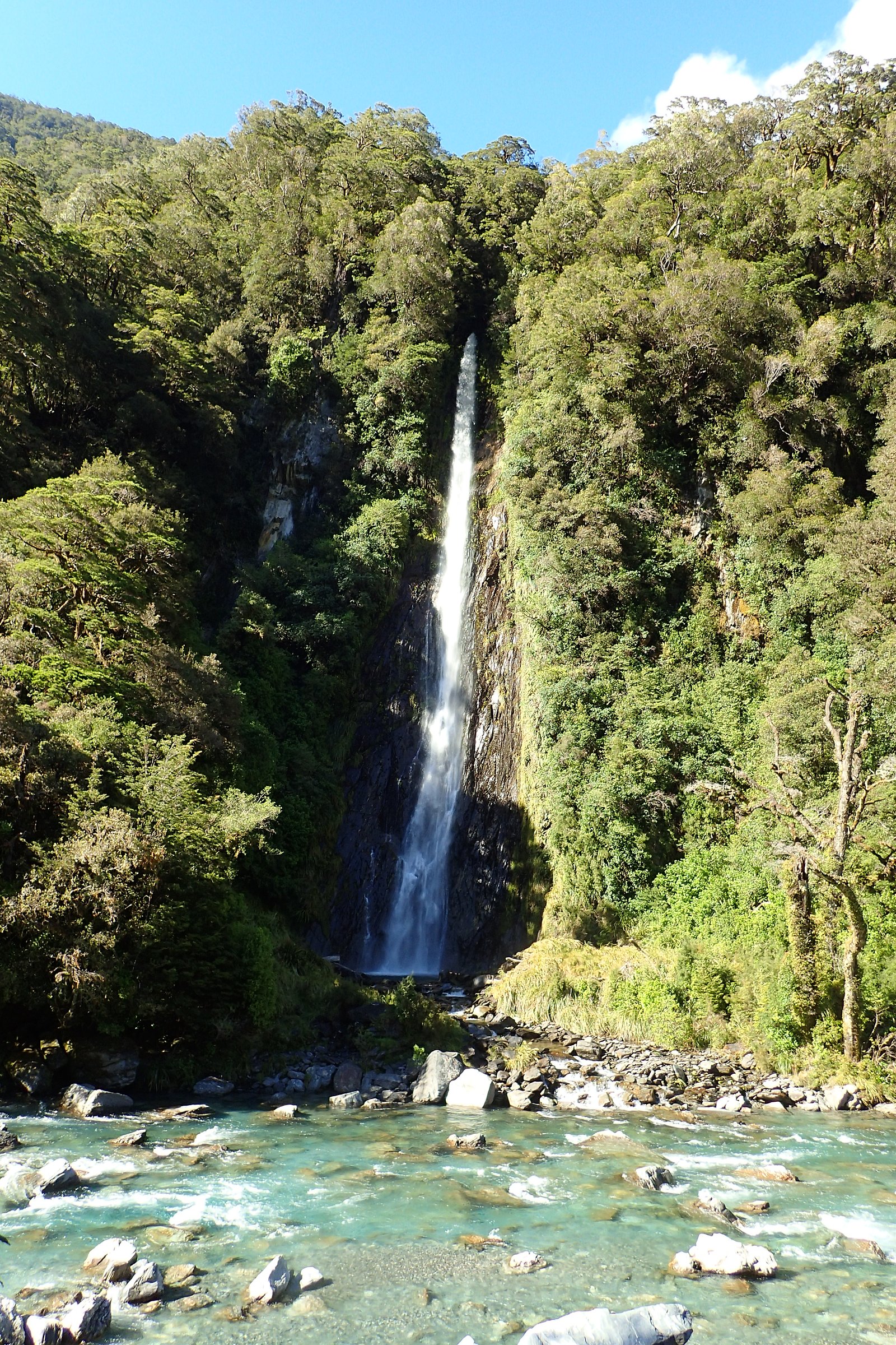
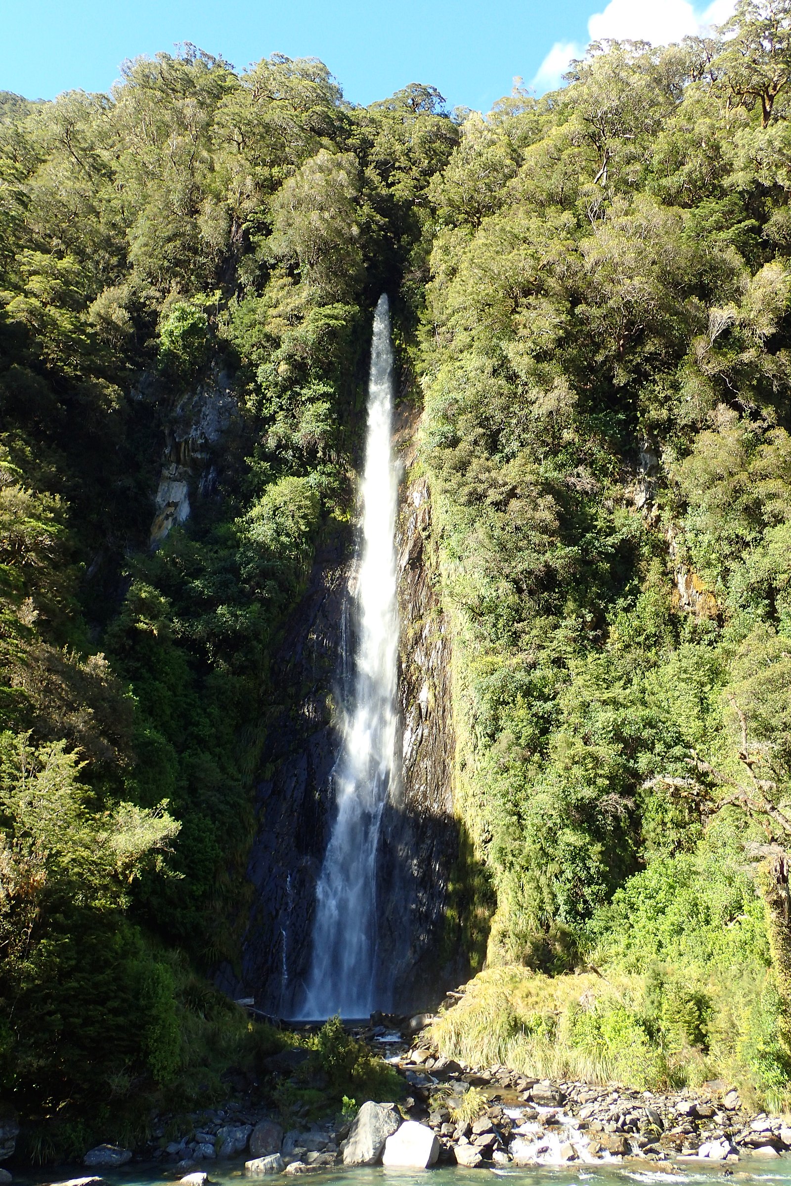
About Diana Falls
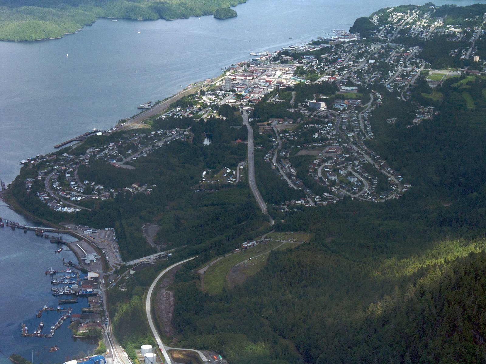
Diana Falls is a small coastal-rainforest waterfall located roughly 11.7 miles (≈18.8 km) from Prince Rupert, British Columbia (coords: 54.2223, -130.1662). The feature is sparsely documented in mainstream guidebooks and appears to sit on a minor tributary in densely forested terrain. Flow and appearance may vary seasonally; access information is limited and may require travel on unpaved or forestry roads followed by a short off-trail approach.
The Setting
Diana Falls sits at 61 metres within DIANA LAKE PARK, in the coastal lowlands of British Columbia.
Why This Waterfall Exists
Diana Falls flows over hard crystalline rock laid down about 0 million to 4.0 billion years ago. These resistant rocks form a durable ledge that water cannot easily wear away, creating the falls where softer material downstream has already eroded.
Trail & Hike Details
Trail Description
There is no widely published, maintained trail description for Diana Falls. Approach likely involves walking through coastal temperate rainforest on unimproved or non-existent paths, possibly over muddy, rooty, or steep ground. Visitors should be prepared for a cross-country short scramble from the nearest road or pullout and limited signage. If a logging or service road is used, expect vehicle ruts and soft shoulders.
What to Expect
Expect a modest cascade or series of drops set in dense spruce/hemlock rainforest. Water flow may be higher in spring and after heavy rains and lower in late summer. There is likely little to no infrastructure (railings, interpretive signs, viewing platforms). Cell coverage may be weak or absent. The area can be muddy, slippery, and covered in loose debris or fallen trees.
Accessibility
The trail is not wheelchair accessible. Uneven terrain and elevation changes require steady footing.
Frequently Asked Questions
🐶 Are Dogs Allowed at Diana Falls?
❌ Dogs are not allowed
Are There Any Fees or Permits Required?
🆖 No fees required
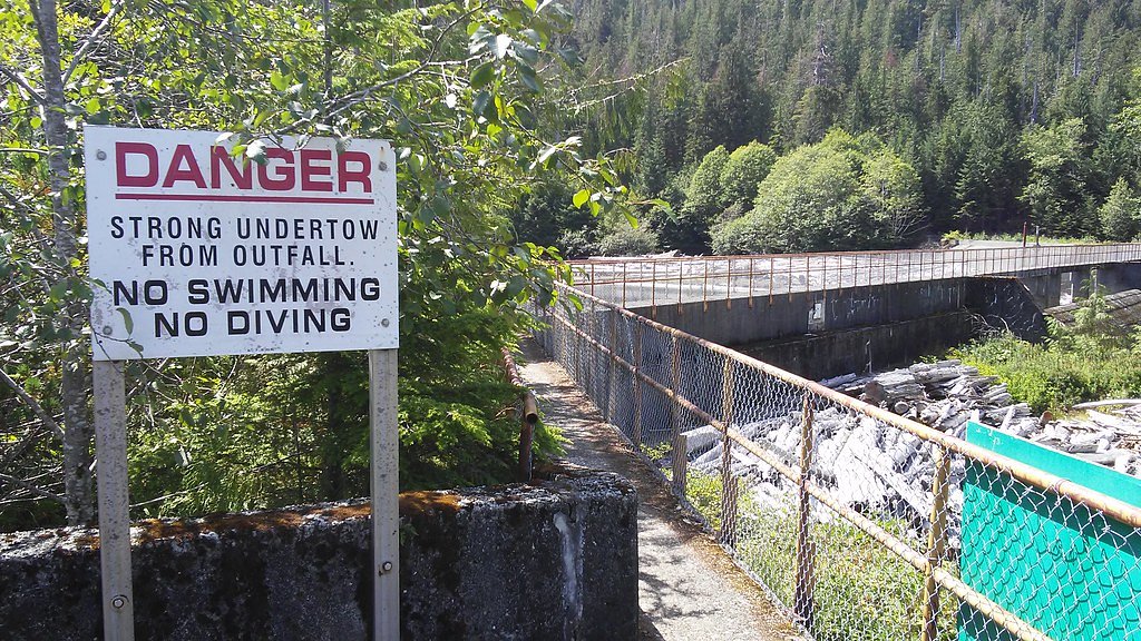
🏊 Is There Swimming at Diana Falls?
❌ Swimming is not allowed
When to Visit
Late spring through early fall for easier access on roads and trails; spring and periods after heavy rain typically give the best flows. Avoid visiting during extreme winter storms or when forestry activity restricts roads.
Seasonal Access
The best time to visit is Spring, Summer, and Fall. Winter access may be limited. Check with the managing park or local authority for current conditions.
Safety Information
Primary hazards include slippery rocks and banks, unstable or steep terrain, variable and sometimes high water flow, fallen trees and debris, poor cellphone reception, and potential active forestry operations or private roads. Weather on the North Coast can change quickly; hypothermia risk exists year-round in wet conditions. Always check local access rules and road conditions, carry navigation and emergency supplies, and avoid trespassing on closed or gated roads.
Know when to go.
Get a free email alert when waterfalls near Prince Rupert hit peak flow. We only send when conditions are worth the trip — no weekly newsletters, no spam.
Weather Forecast
Location & Access
Getting There
The falls are located approximately 11.7 miles from Prince Rupert by direct distance; exact driving route and approach are not well documented. Reaching the coordinates will likely require driving local or forestry/logging roads and using GPS. Visitors should expect unpaved roads, potential private- or industrial-road restrictions, and a short walk from the nearest road. Confirm current road access with local authorities or the City of Prince Rupert before travelling.
Get Directions on Google MapsParking
No official parking or developed trailhead is known. Parking, if available, will likely be a roadside pullout or informal clearing. Park only where permitted and avoid blocking gates or private access.
Elevation
61 metres above sea level
Coordinates
54.222280° N, -130.166220° W
Land Management
Managed by Government of British Columbia
Visitor Tips & Gear
1) Use GPS coordinates and confirm local road access before you go. 2) Wear waterproof, sturdy footwear and expect muddy, slippery conditions. 3) Bring insect repellent (coastal rainforests have many mosquitoes/blackflies during warmer months). 4) Respect private property and forestry operations, do not cross locked gates or signs indicating closure. 5) Tell someone your plan and expected return time; cell service may be unreliable. 6) Leave no trace and pack out all waste.
Where to Stay
Browse vacation cabins and private rentals nearby
Unique outdoor stays — tents, yurts, and treehouses
Rent a campervan or RV for your waterfall road trip
Some links are affiliate links. We may earn a commission at no extra cost to you.
Nearby Campground
Prudhomme Lake Campground
3 km away
Additional Information
Nearby Attractions
Prince Rupert townsite (harbour, local museums), coastal viewpoints and boat-access marine scenery. Confirm distances and access before planning combined visits.
Wildlife
Coastal wildlife typical of northwestern BC: black bears, salmon in local streams (seasonal), seabirds, and smaller mammals. Exercise standard bear and wildlife safety precautions.
Cities near Diana Falls
Nearby Waterfalls
Writing about Diana Falls? Embed this waterfall on your site for free.