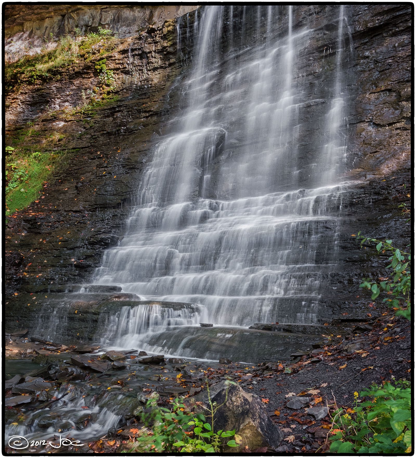
Decew Falls
Ontario • 21 m
By Armen Suny · Last verified Jun 2026
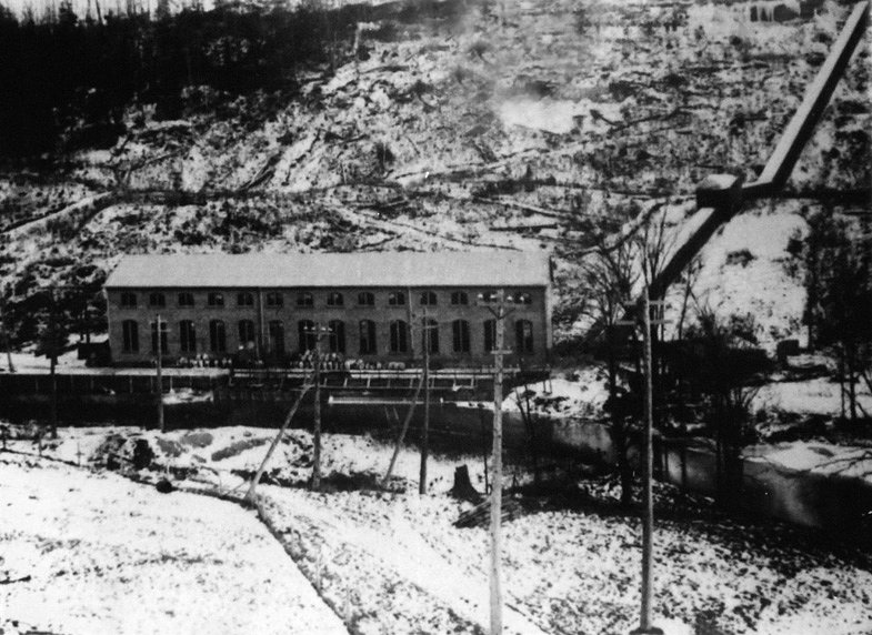
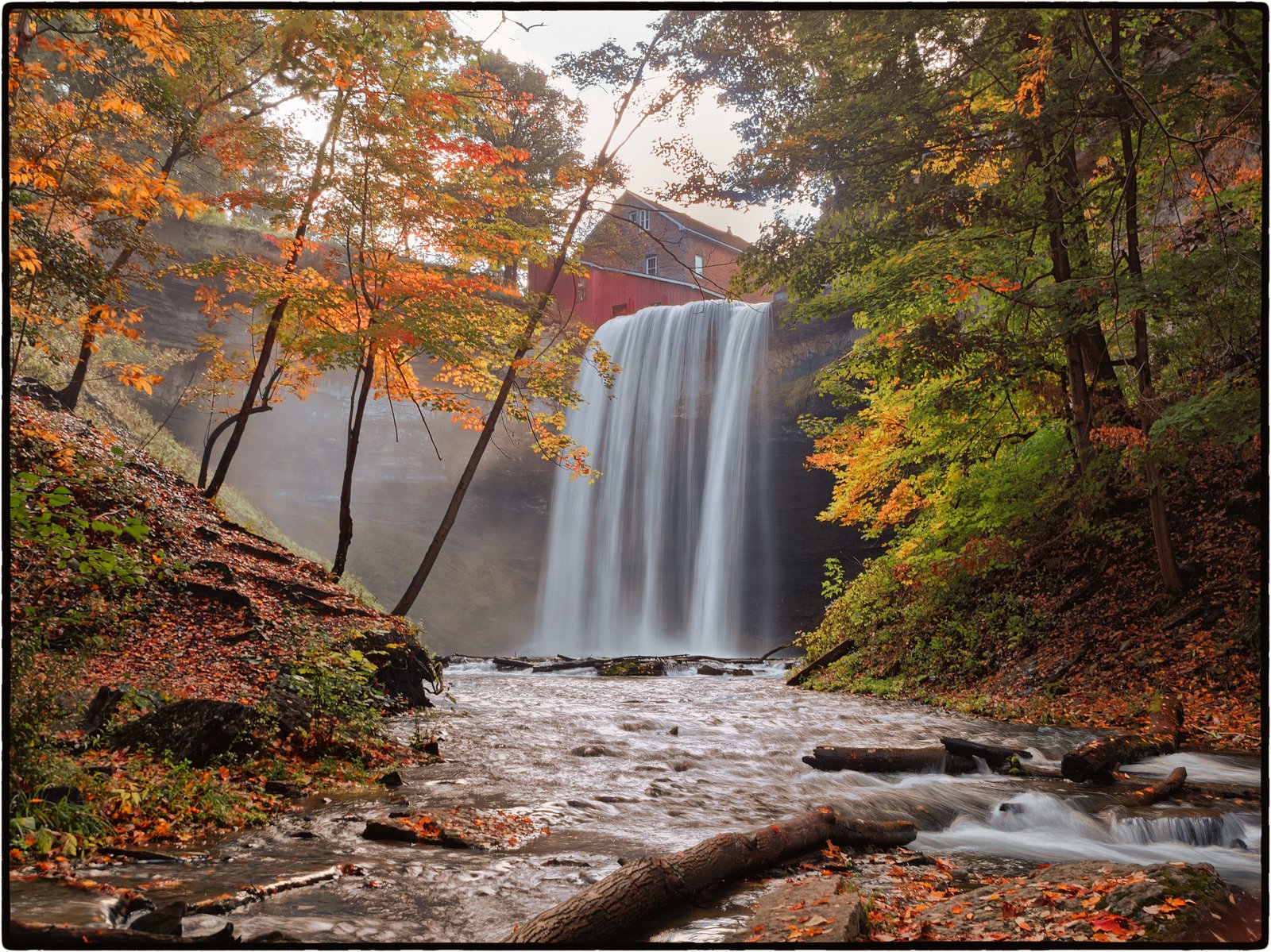
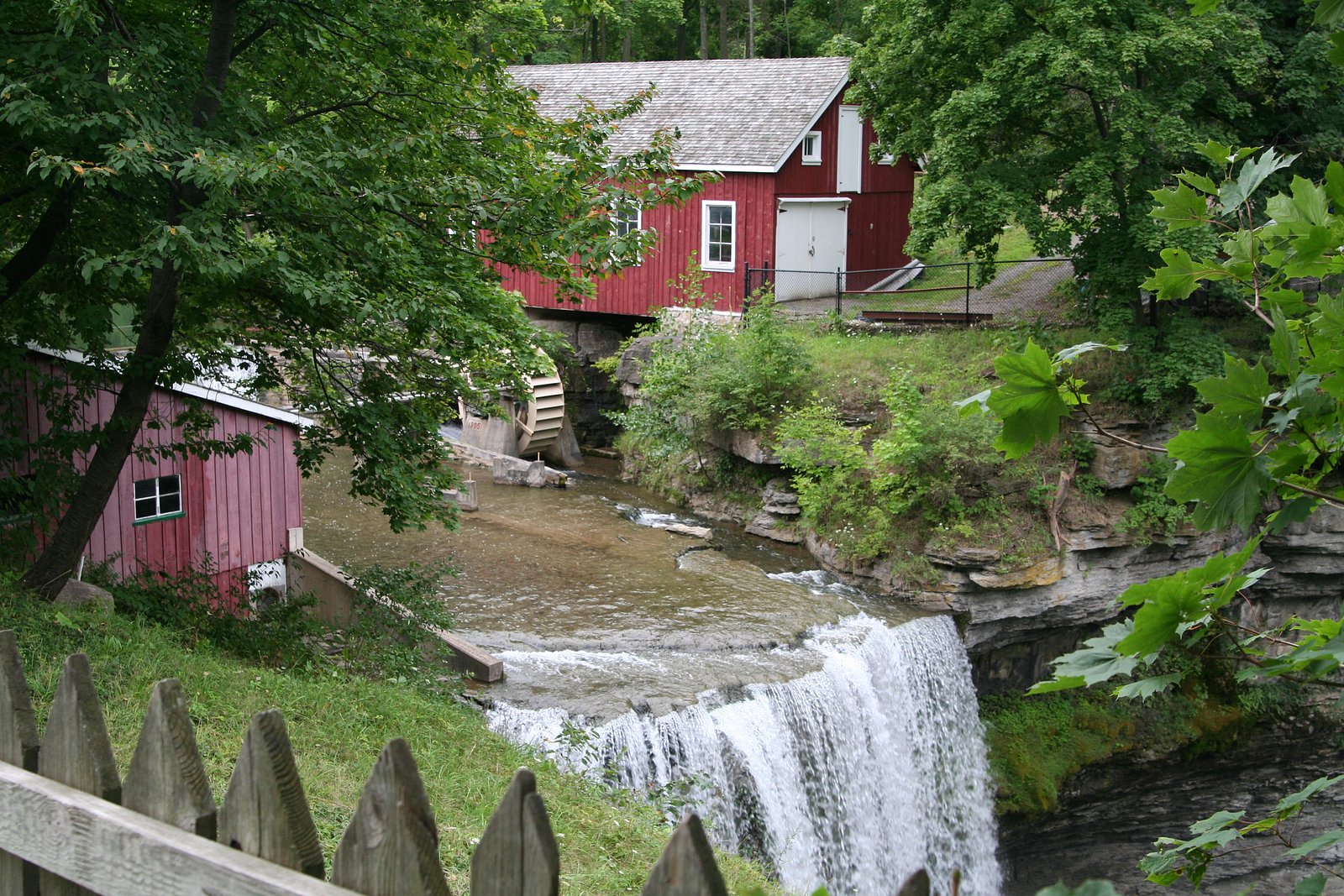
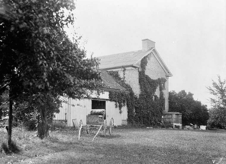
Photo Credits (5)
Difficulty
Moderate
Trail Length
1.6 km
Trail Type
Out And Back
Elevation Gain
46 m
About Decew Falls
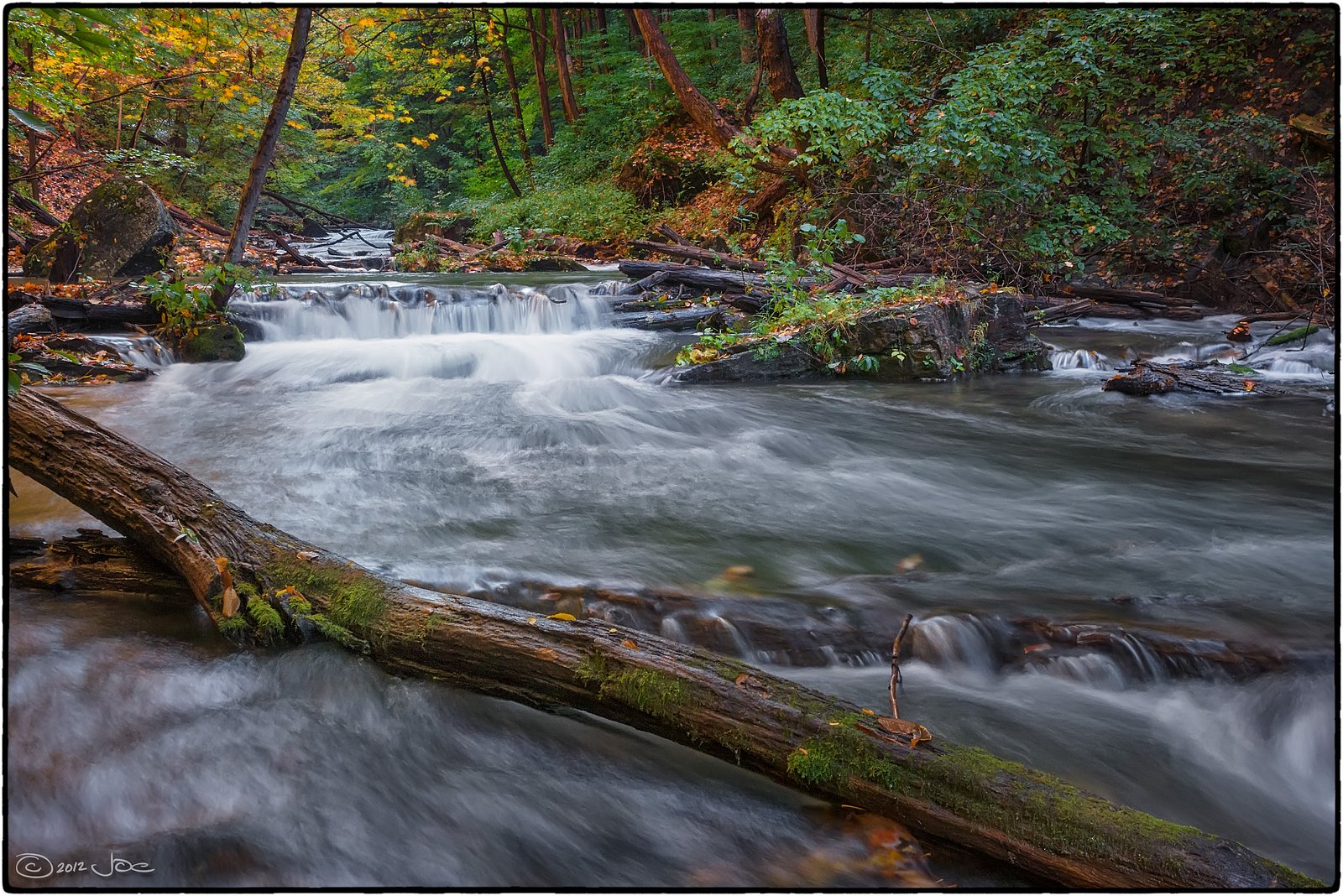
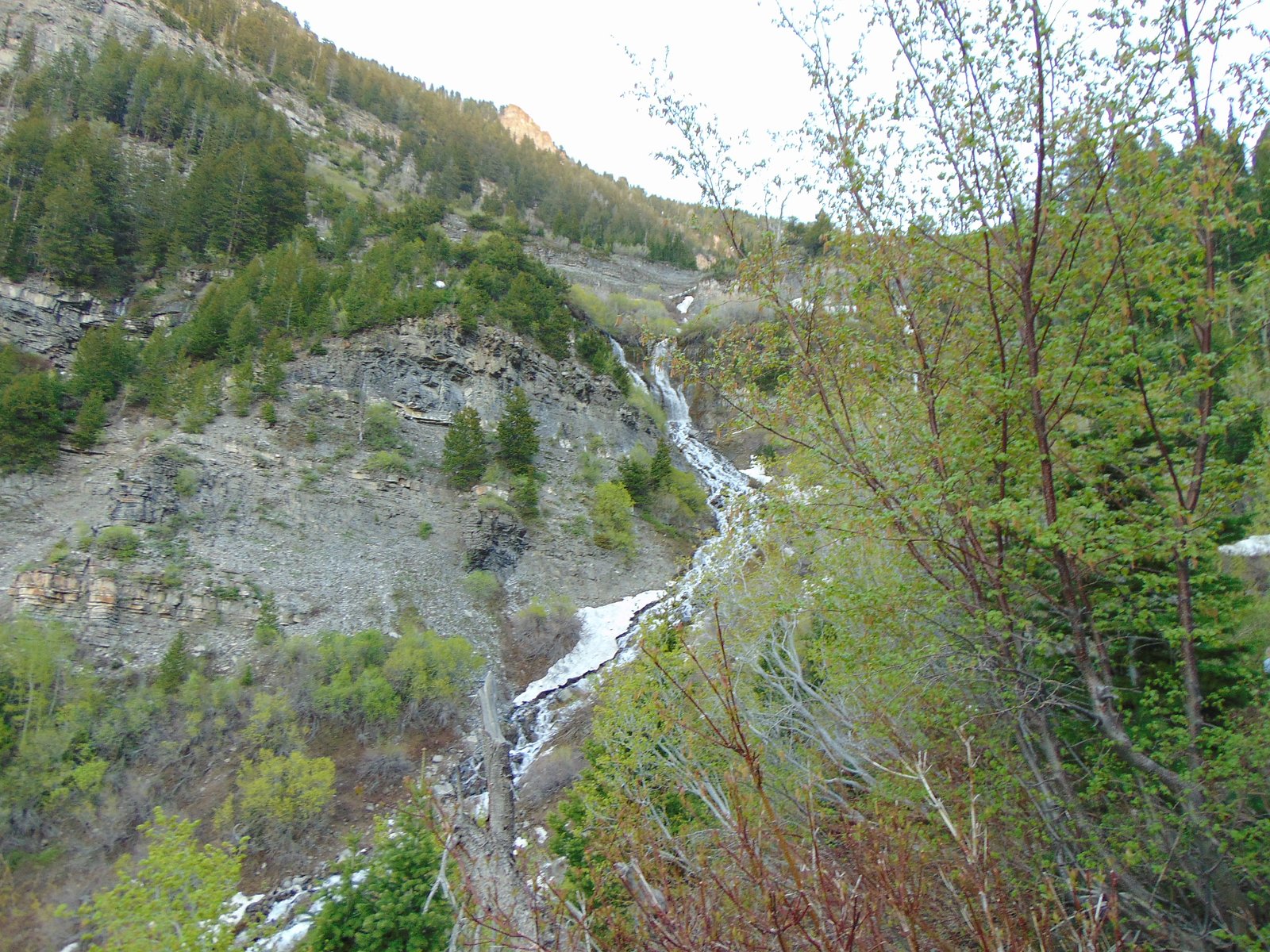
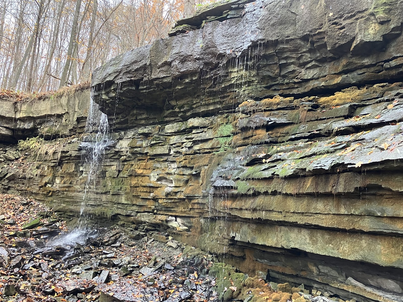
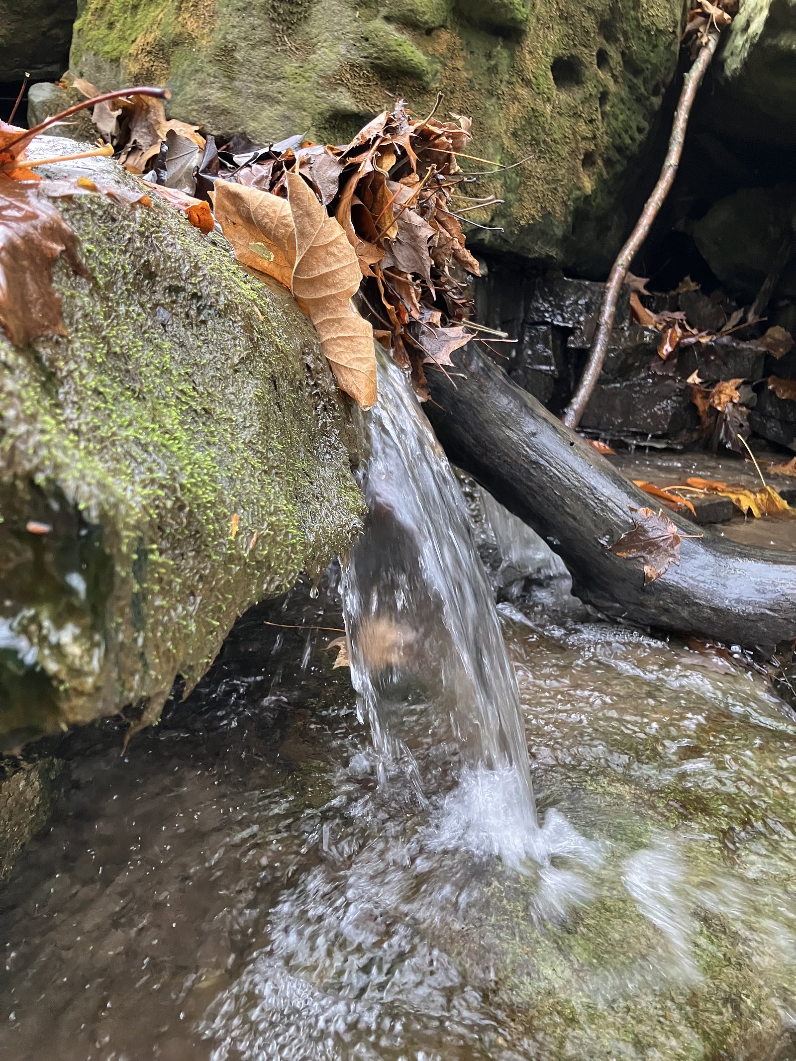
Decew Falls is a scenic waterfall and gorge complex near St. Catharines in the Niagara region of Ontario. There are upper and lower falls in the Decew area; the site features steep-sided rock walls, forested trails, and historical hydroelectric infrastructure nearby. Water flow and appearance vary with season and recent precipitation; the gorge and viewpoints are popular with local hikers and photographers. Visitors should exercise caution around cliff edges and near the water.
The Setting
Decew Falls sits at 162 metres in the foothills of Ontario. The falls drop 21 metres.
Height: 68 feet
Nearby Falls Worth Visiting
Lower Decew Falls (8 m) lies 0.2 kilometres to the west. Also nearby: Scout Falls (6 m, 1.3 km) and Terrace Falls (6 m, 2.1 km).
Trail & Hike Details
The Approach
The moderate 1.6-km out-and-back trail gains 46 metres of elevation on the way to the falls.
Trail Description
The trail to Decew Falls is relatively short but can be steep in places as it descends into the gorge. Expect a mix of packed dirt, exposed roots, rock steps, and occasional man-made stairs or viewing platforms. Several viewpoints look down into the gorge and across the falls; reaching the river level in some places may require scrambling on uneven rock and is not recommended for inexperienced hikers. Trails are typically singletrack and out-and-back to the main viewpoints. Surface conditions can be muddy after rain and icy in winter; traction devices may be useful in cold months.
What to Expect
The falls drop 21 metres.
Accessibility
The trail is not wheelchair accessible. Uneven terrain and elevation changes require steady footing.
Frequently Asked Questions
🐶 Are Dogs Allowed at Decew Falls?
❌ Dogs are not allowed
Are There Any Fees or Permits Required?
🆖 No fees required
🏊 Is There Swimming at Decew Falls?
❌ Swimming is not allowed
When to Visit
Late spring (after snowmelt) and periods following rain produce the most impressive flows. Early morning or late afternoon light is best for photography and tends to be less crowded. Winter offers ice formations but also increased hazard from ice and slippery surfaces, only visit in winter if properly equipped and experienced.
Seasonal Access
The best time to visit is Spring, Summer, Fall, and Winter. Check with the managing park or local authority for current conditions.
Safety Information
Hazards include steep and unstable cliff edges, slippery rock and roots (especially when wet or icy), strong water currents near the falls, and potential for falling rock in the gorge. There may be active hydroelectric infrastructure nearby, stay out of fenced or posted areas. Cell coverage may be limited; tell someone your plans and expected return time. In winter, ice build-up creates additional fall hazards, use caution and traction devices. Emergency response times may be longer in natural areas.
Current Water Conditions
0.3 m³/s
Current discharge — how much water is flowing
About average for this time of year
Based on 20 years of record
5.06 m
Water depth at gauge
7-Day Discharge Trend
What does this mean for your visit?
Flow is about average for this time of year.
About This Gauge
7-Day Flow Outlook
Based on the WSC gauge TWELVE MILE CREEK NEAR POWER GLEN (1 km away).
Today
Moderate
0.2 m³/s
8/10Tomorrow
Moderate
0.2 m³/s
8/10Tue
Strong
0.3 m³/s
7/10Wed
Strong
0.3 m³/s
8/10Thu
Moderate
0.2 m³/s
8/10Fri
Moderate
0.3 m³/s
6/10Sat
Strong
0.3 m³/s
8/10Best window: Today — moderate flow, cloudy (trip score 8/10).
Best time of year: this gauge typically runs highest from late February to mid April, peaking in April.
How we calculate this
This is a transparent outlook, not a precise forecast. We take the waterfall's current flow strength (how it ranks against its historical normal for today, from the nearest WSC stream gauge), carry that ranking forward along the gauge's seasonal curve, and nudge it for forecast rain. Confidence is highest for the next day or two and falls further out. Always check official conditions and your own judgment before visiting — high flows can be dangerous.
Know when to go.
Get a free email alert when waterfalls near Hamilton hit peak flow. We only send when conditions are worth the trip — no weekly newsletters, no spam.
Weather Forecast
Location & Access
Getting There
Decew Falls is located in the Niagara/St. Catharines area (coordinates 43.1104, -79.2647). It is reached by driving from nearby towns (Niagara University ~11 miles, Niagara Falls ~11.5 miles). Expect local roads and small access parking areas; signage may identify the conservation lands or power company access roads. Use a mapping app with the coordinates for turn-by-turn directions and verify parking/entry points before visiting.
Get Directions on Google MapsParking
Parking is generally limited to a small parking lot or roadside pullouts near the trailheads. Facilities are minimal or non-existent; spaces can fill on busy weekends. Do not block driveways or posted private access; obey local signage. Street parking may be restricted in spots, plan to arrive early or midweek if possible.
Elevation
162 metres above sea level
Coordinates
43.110402° N, -79.264710° W
Visitor Tips & Gear
Wear sturdy, grippy footwear; stay back from cliff edges and obey signage and any barriers. Bring water, a charged phone, and layers for changing weather. Parking is limited, take a small group or arrive early. Do not attempt to climb into restricted areas or near active hydro facilities. In winter, expect ice and consider traction devices. Practice Leave No Trace: pack out trash and avoid disturbing vegetation or wildlife.
As an Amazon Associate, we earn from qualifying purchases.
With 1.6 km and 46 m of elevation gain, sturdy boots and trekking poles will help on this moderate trail. Icy conditions are common in winter — traction cleats are a smart addition.

Columbia Watertight II Rain Jacket
Packs into its own pocket, seam-sealed, and keeps you dry from spray and surprise rain.

Polarized Sunglasses (Knockaround)
Cuts glare off the water so you actually see the falls — and your photos turn out better too.

Earth Pak Waterproof Dry Bag
Keeps your phone and gear dry when waterfall mist soaks everything else.

Waterproof Phone Pouch (AiRunTech)
Cheap insurance — take photos right next to the falls without killing your phone.

Timberland Euro Sprint Mid Waterproof
Trusted waterproof boot with premium leather and grippy rubber sole — reliable on rocky, wet trails.

TrailBuddy Trekking Poles
Lightweight aluminum, cork grips, and flip-locks that actually hold — a best-seller for good reason.
Where to Stay
Browse vacation cabins and private rentals nearby
Unique outdoor stays — tents, yurts, and treehouses
Rent a campervan or RV for your waterfall road trip
Some links are affiliate links. We may earn a commission at no extra cost to you.
Nearby Campground
Shangri-La Family Campground
7.7 km away
Additional Information
Nearby Attractions
Niagara Falls (approx. 11.5 miles), Niagara University (approx. 11.0 miles), local Niagara-region parks and trails, and attractions in St. Catharines and Niagara-on-the-Lake. The Welland Canal and various vineyards are also within driving distance.
Wildlife
Typical southern Ontario woodland wildlife: songbirds, squirrels, deer, raccoons, and smaller mammals. Ticks and poison ivy are present in warmer months, take precautions. Do not approach or feed wildlife.
Cities near Decew Falls
Nearby Waterfalls
Writing about Decew Falls? Embed this waterfall on your site for free.