Photo Credits (5)
Difficulty
Drive Up
Trail Length
0.2 km
Trail Type
Out And Back
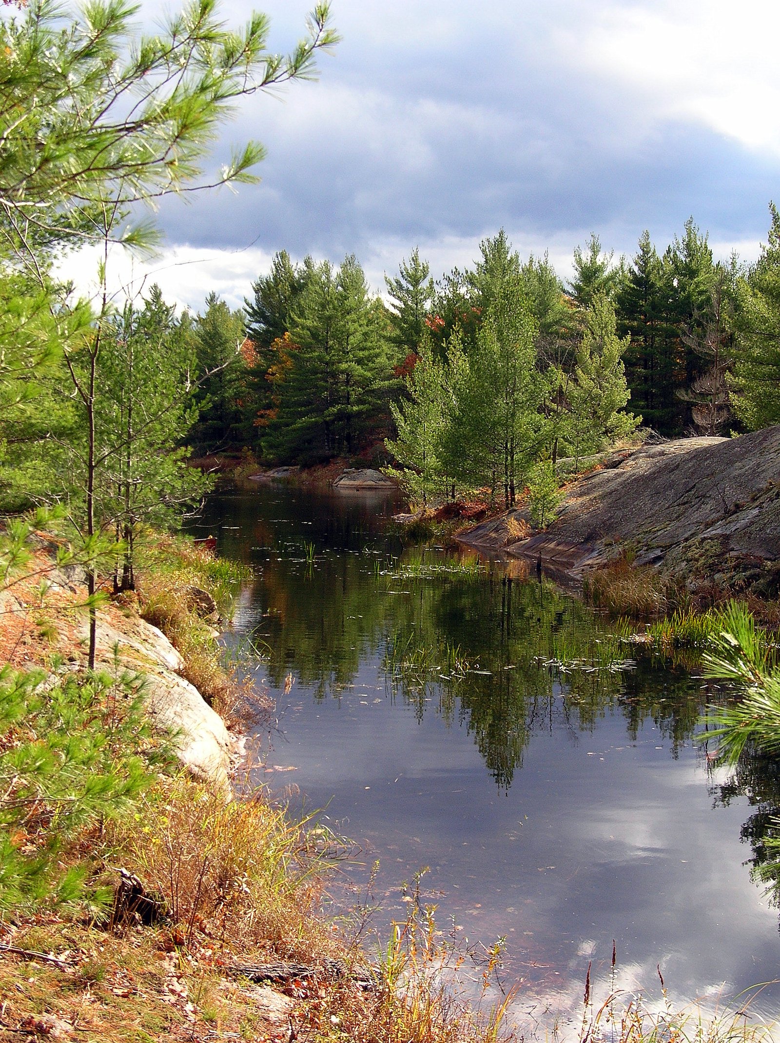
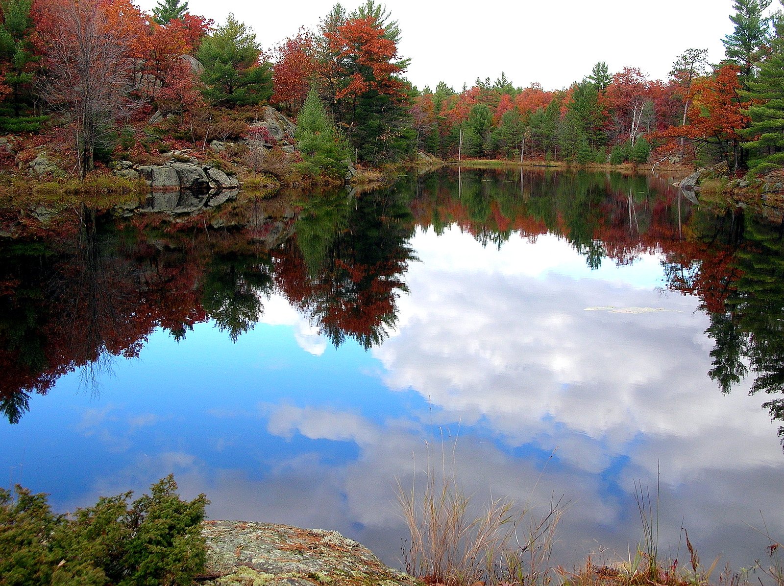
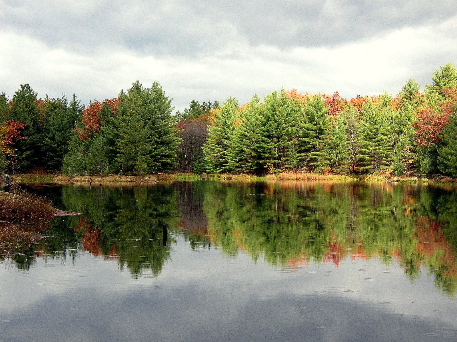
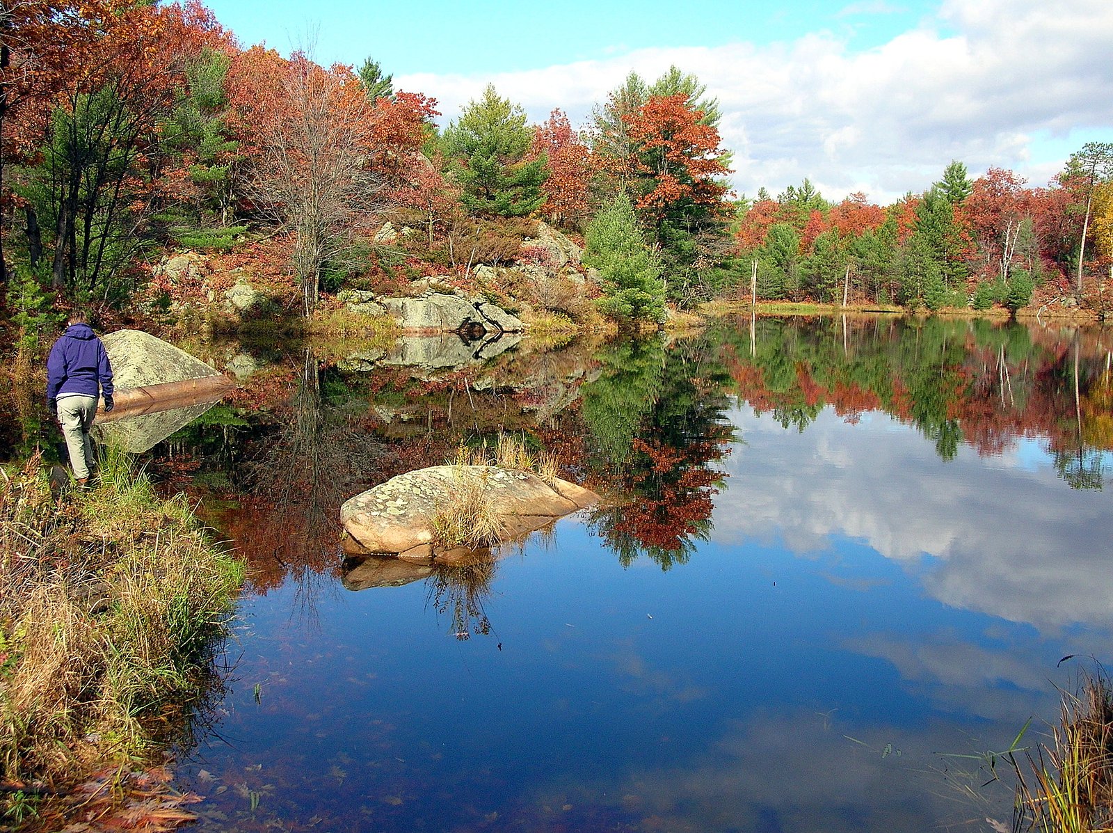
About Coopers Falls
Coopers Falls is a small cascade-style waterfall in central Ontario (coordinates 44.7873, -79.2303), situated in a mixed forest and river setting. The falls are set on a river with rocky ledges and pools; flow and appearance change seasonally (highest flows in spring). Detailed published measurements and an official height are not readily available.
Why This Waterfall Exists
Coopers Falls flows over hard crystalline rock, primarily gneiss, laid down over 1.0-1.6 billion years ago. These resistant rocks form a durable ledge that water cannot easily wear away, creating the falls where softer material downstream has already eroded.
Trail & Hike Details
The Approach
No hiking required. Coopers Falls is accessible by vehicle with a roadside viewing area.
Trail Description
Reported visitor notes for similar small falls in the region indicate a short walk from roadside parking to river viewpoints over uneven, often rocky ground. Expect an unpaved or lightly maintained footpath, possible short scrambles down to the water's edge, and limited or no signage. Specific trail features (stairs, boardwalks, or marked viewpoints) are not consistently documented for this site.
What to Expect
Expect a small cascade over rocky ledges with seasonal variability: higher and more dramatic flow in spring, reduced flow in late summer, and ice formations in winter. Facilities (restrooms, picnic tables, formal viewpoints) are unlikely. Terrain near the falls can be slippery, with exposed roots and rocks; cell coverage may be intermittent in rural areas.
Accessibility
This waterfall is viewable from a vehicle-accessible area. No hiking is required.
Frequently Asked Questions
🐶 Are Dogs Allowed at Coopers Falls?
❌ Dogs are not allowed
Are There Any Fees or Permits Required?
🆖 No fees required
🏊 Is There Swimming at Coopers Falls?
❌ Swimming is not allowed
When to Visit
Spring (snowmelt and rain) usually provides the highest flows and most dramatic appearance. Fall offers colorful foliage and pleasant temperatures but lower flow. Winter can produce ice features that are scenic but increase hazards (slippery surfaces, unstable ice). Summer is accessible but may have reduced water volume.
Seasonal Access
The best time to visit is Spring, Summer, Fall, and Winter. Check with the managing park or local authority for current conditions.
Safety Information
Hazards can include slippery, algae-covered rocks; fast or cold currents; submerged rocks and sudden drop-offs; unstable cliff edges; biting insects and ticks; variable cell coverage. Ice in winter can be deceptive, avoid walking on river ice. There are likely no lifeguards or formal rescue services immediately on site; bring a companion and inform someone of your plans. When unsure about conditions or access, contact local municipal offices or the nearest conservation authority.
7-Day Flow Outlook
Based on the WSC gauge SEVERN RIVER ABOVE WASDELL FALLS (5 km away).
Best time of year: this gauge typically runs highest from late March to early May, peaking in April.
How we calculate this
This is a transparent outlook, not a precise forecast. We take the waterfall's current flow strength (how it ranks against its historical normal for today, from the nearest WSC stream gauge), carry that ranking forward along the gauge's seasonal curve, and nudge it for forecast rain. Confidence is highest for the next day or two and falls further out. Always check official conditions and your own judgment before visiting — high flows can be dangerous.
Know when to go.
Get a free email alert when waterfalls near Orillia hit peak flow. We only send when conditions are worth the trip — no weekly newsletters, no spam.
Weather Forecast
Location & Access
Getting There
The falls are located at approximately 44.7873, -79.2303. Nearest population centers include Orillia (about 17 miles), Barrie (about 39.6 miles) and Parry Sound (about 60.7 miles). Access is typically via local paved and secondary roads; exact directions to a formal trailhead are not consistently documented online, so use GPS coordinates and local maps. Some road sections or driveways nearby may be unpaved.
Get Directions on Google MapsParking
There may be limited or informal parking near the access point; expect roadside parking or a small pullout rather than a developed parking lot. Do not block gates or driveways and observe private property signs.
Elevation
244 metres above sea level
Coordinates
44.787281° N, -79.230266° W
Visitor Tips & Gear
• Wear sturdy, grippy footwear; rocks near the falls are slippery. • Use insect repellent in spring/summer; check for ticks after visiting. • Bring a map or use GPS coordinates; trailheads and signage may be minimal. • Park considerately and avoid blocking private driveways. • Respect private property; if access crosses or borders private land, seek permission. • Avoid entering the water, currents and submerged hazards can be dangerous. • Pack out all trash and follow Leave No Trace practices. • Check local conservation authority or municipality notices for any temporary closures or hazards.
Where to Stay
Browse vacation cabins and private rentals nearby
Unique outdoor stays — tents, yurts, and treehouses
Rent a campervan or RV for your waterfall road trip
Some links are affiliate links. We may earn a commission at no extra cost to you.
Nearby Campground
Site 7
8.5 km away
Additional Information
Nearby Attractions
Nearby communities and attractions include Orillia (waterfront, local parks), Wasaga Beach/Beaches region, and various provincial parks and conservation areas in the broader region. Exact proximity to specific named parks should be confirmed on a map before planning a visit.
Wildlife
Typical southern/central Ontario wildlife may be present: small mammals (squirrels, raccoons), white-tailed deer, a variety of songbirds and waterfowl. Black bears and coyotes occur in parts of the region, encounters are uncommon near day-use areas but possible in more remote forested locations. Ticks (including blacklegged ticks) can be active during warm months.
Cities near Coopers Falls
Nearby Waterfalls
Other waterfalls named Coopers Falls
1 other waterfall shares this name across Canada.
Writing about Coopers Falls? Embed this waterfall on your site for free.