Photo Credits (5)
Difficulty
Drive Up
Trail Length
0.2 km
Trail Type
Out And Back
About Chute Simons
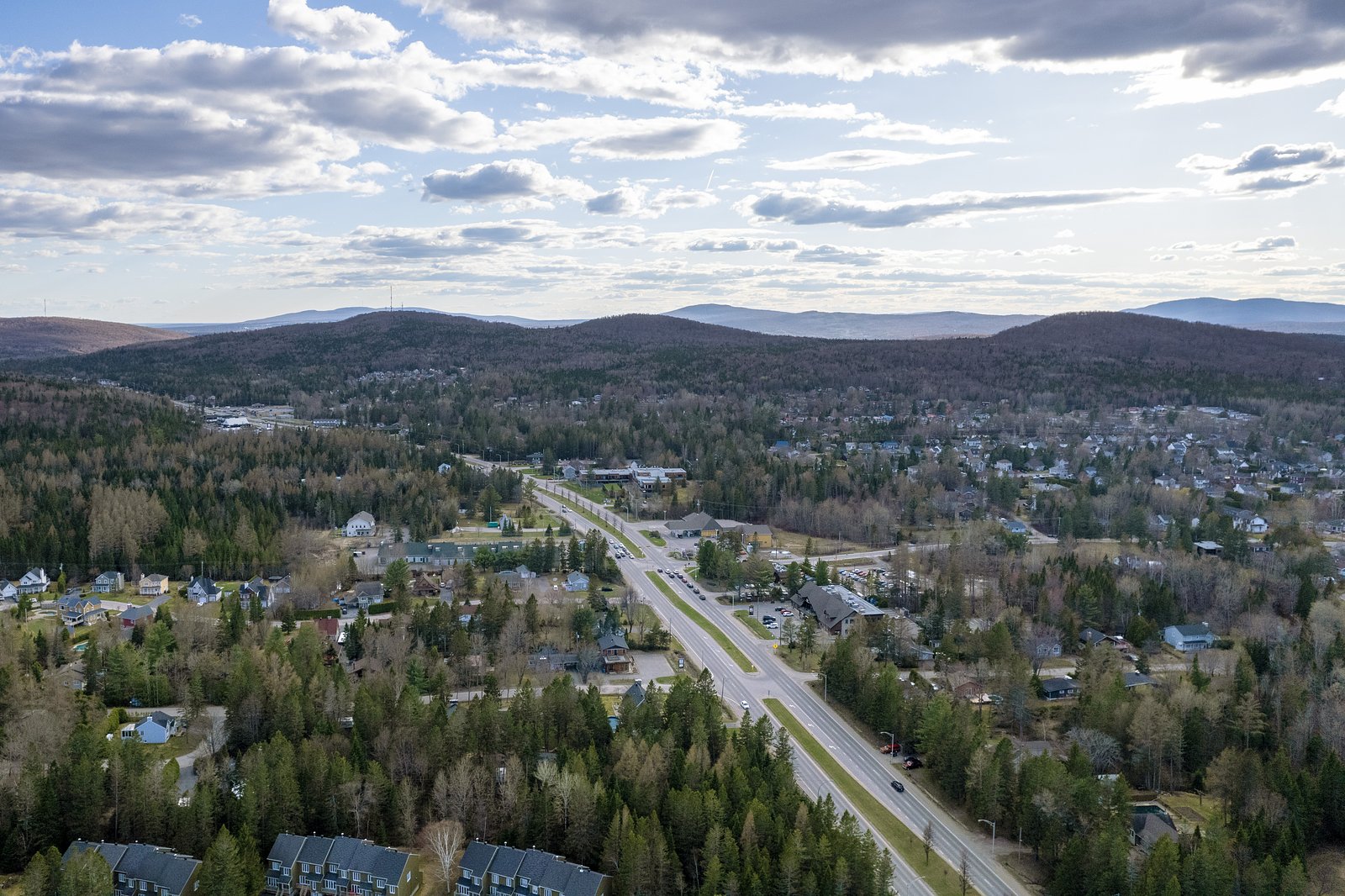
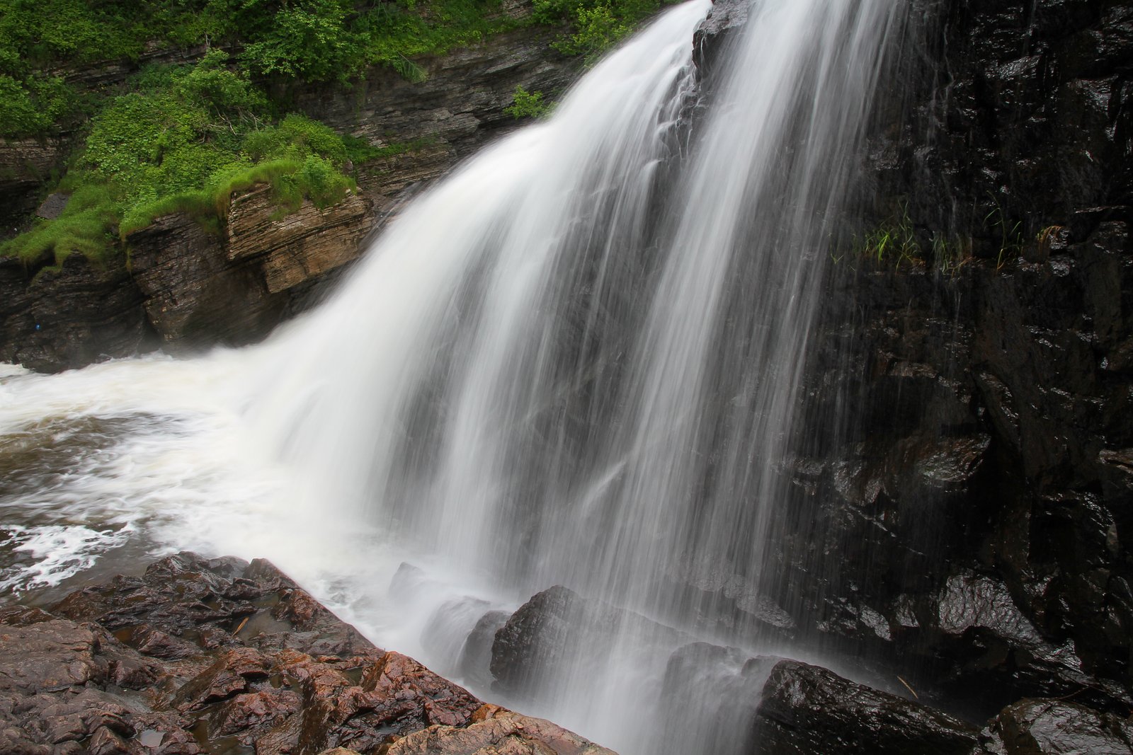
Chute Simons (Chute à Simons) is a lesser-known cascade-style waterfall located near Québec City (approximately 9.3 miles / ~15 km from the city center). It sits in a forested, rural setting and is most notable to local visitors rather than as a major tourist attraction. Flow and appearance are seasonal, typically highest in spring during snowmelt and after heavy rains, and reduced in late summer and freeze/ice-covered in winter.
Why This Waterfall Exists
Chute Simons flows over hard banded metamorphic rock, primarily gneiss, laid down over 1.4-1.6 billion years ago. These resistant rocks form a durable ledge that water cannot easily wear away, creating the falls where softer material downstream has already eroded.
Nearby Falls Worth Visiting
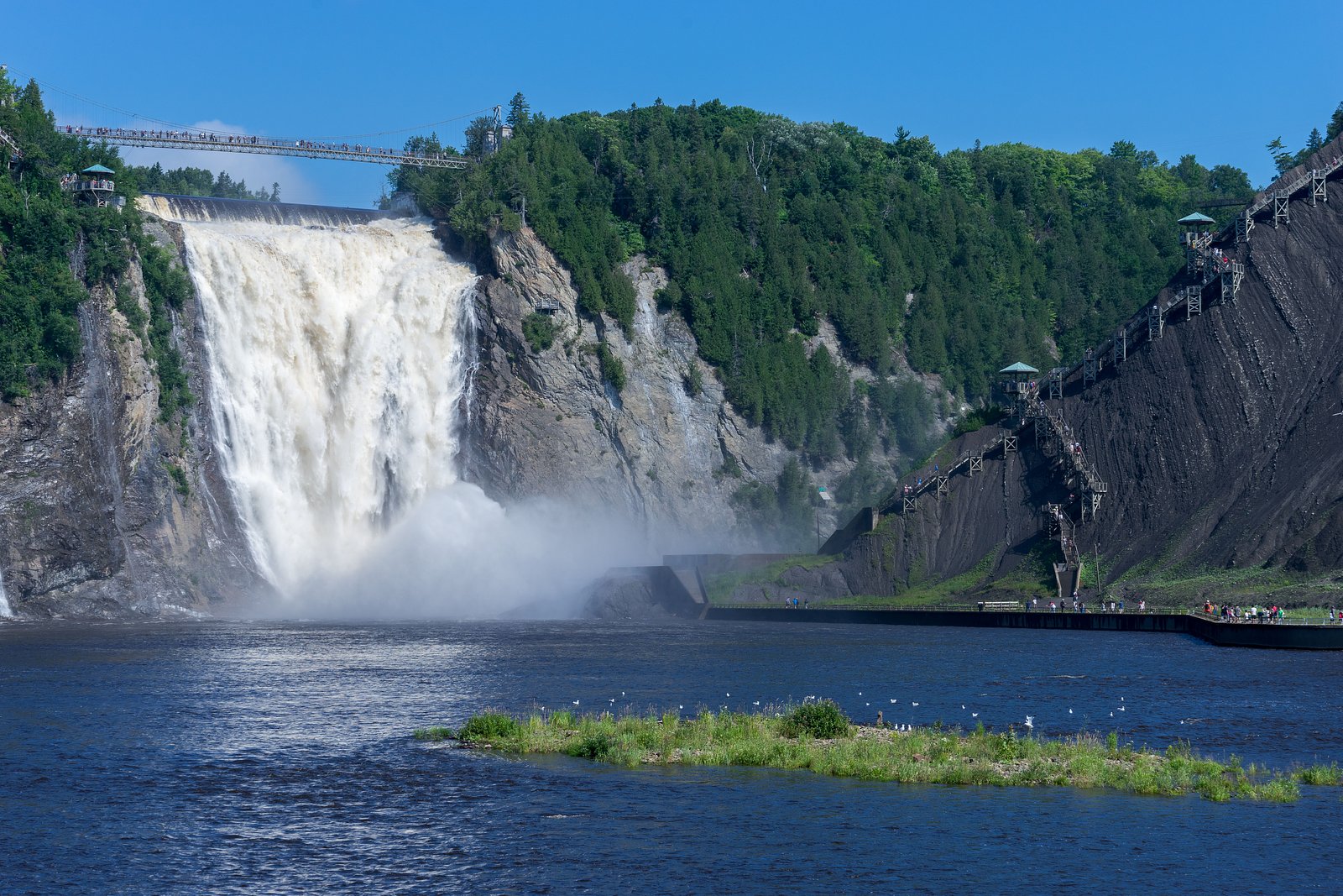
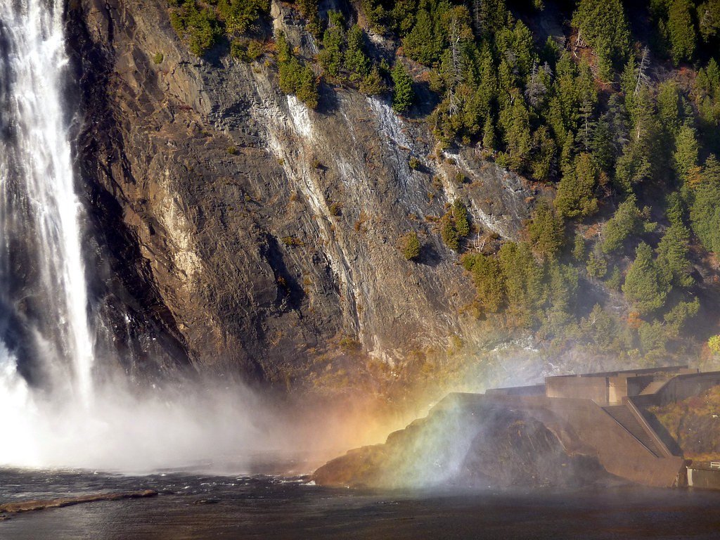
Chute Montmorency, the tallest waterfall in Quebec at 83 metres, lies 13.2 kilometres to the east. Also nearby: Chute Kabir Kouba (28 m, 10.8 km) and Chute à Pageau (2 m, 17.5 km).
Trail & Hike Details
The Approach
No hiking required. Chute Simons is accessible by vehicle with a roadside viewing area.
Trail Description
Information about a maintained trail to Chute Simons is limited. Many visitors report a short walk from a nearby pullout or small parking area to a viewpoint; the path may be rocky, uneven, and pass through typical mixed forest. Expect limited signage and possibly informal social trails to viewpoints. Use caution on wet or icy terrain, and respect any fences, private property signs, or posted closures.
What to Expect
A relatively small, local waterfall set in a forested landscape. Seasonal flow variation is common, highest in spring and after heavy rains, lower in late summer and possibly frozen in winter. Views may be obtained from a cliff or streambank; there may not be a formal viewing platform or safety railing. Cell service may be spotty in more remote sections. Facilities (restrooms, trash cans) are unlikely.
Accessibility
This waterfall is viewable from a vehicle-accessible area. No hiking is required.
Frequently Asked Questions
🐶 Are Dogs Allowed at Chute Simons?
❌ Dogs are not allowed
Are There Any Fees or Permits Required?
🆖 No fees required
🏊 Is There Swimming at Chute Simons?
❌ Swimming is not allowed
When to Visit
Spring for highest water flow (snowmelt) and fall for color. Early morning and weekday visits reduce crowding and improve light for photography. Winter can offer ice formations but access and safety concerns increase.
Seasonal Access
The best time to visit is Spring, Summer, Fall, and Winter. Check with the managing park or local authority for current conditions.
Safety Information
Potential hazards include slippery rocks and cliffs, strong currents during high flow, cold water temperatures, seasonal ice, limited cell service, and informal/unmaintained trails. There are likely no lifeguards or emergency services on-site; carry a charged phone and tell someone your plans. Respect private property boundaries and posted signs. Use caution during hunting seasons, wear high-visibility clothing if visiting in fall.
7-Day Flow Outlook
Based on the WSC gauge HURONS (RIVIERE DES) A STONEHAM (10 km away).
Best time of year: this gauge typically runs highest from early April to early June, peaking in May.
How we calculate this
This is a transparent outlook, not a precise forecast. We take the waterfall's current flow strength (how it ranks against its historical normal for today, from the nearest WSC stream gauge), carry that ranking forward along the gauge's seasonal curve, and nudge it for forecast rain. Confidence is highest for the next day or two and falls further out. Always check official conditions and your own judgment before visiting — high flows can be dangerous.
Know when to go.
Get a free email alert when waterfalls near Québec hit peak flow. We only send when conditions are worth the trip — no weekly newsletters, no spam.
Weather Forecast
Location & Access
Getting There
Coordinates: 46.9454, -71.3026. The waterfall is located in the general Quebec City region (about 9.3 miles from Québec). Exact access routes can vary and may use local municipal roads or gravel forest roads. Visitors should use a reliable map application with the above coordinates and confirm public access before travelling. Portions of the access may pass through private or managed-forest land, check local signage.
Get Directions on Google MapsParking
Parking is likely informal and limited (small roadside pullout or a small gravel lot). Expect minimal infrastructure, no large official parking lot unless maintained by a local municipality. Park only in designated areas and avoid blocking driveways or gates.
Elevation
220 metres above sea level
Coordinates
46.945381° N, -71.302593° W
Visitor Tips & Gear
• Verify access before visiting, some approaches may cross private land or logging roads. • Wear sturdy footwear with good traction; trails and banks are often slippery. • Stay back from the edge of banks and cliffs; rocks can be unstable. • Bring bug spray in summer and check for ticks after visiting. • Pack out all trash and avoid marking trees or rocks. • If planning to visit in winter, bring traction devices and be prepared for icy conditions. • Use the coordinates and local mapping apps; if unsure, contact the nearest municipal office for guidance.
Where to Stay
Browse vacation cabins and private rentals nearby
Unique outdoor stays — tents, yurts, and treehouses
Rent a campervan or RV for your waterfall road trip
Some links are affiliate links. We may earn a commission at no extra cost to you.
Nearby Campground
Camping de la Joie
6 km away
Additional Information
Nearby Attractions
Québec City (urban attractions, historic Old Québec) is the nearest major center (about 9.3 miles / ~15 km). Regionally notable sites include Montmorency Falls and Île d'Orléans, which are popular destinations in the greater Québec area.
Wildlife
Typical wildlife of the Quebec region may be present, songbirds, waterfowl, white-tailed deer, small mammals, beavers near waterways, and occasionally black bears in more remote forests. Observe wildlife from a distance and secure food.
Cities near Chute Simons
Nearby Waterfalls
Writing about Chute Simons? Embed this waterfall on your site for free.