Chedoke Falls
Ontario • 18 m
By Armen Suny · Last verified Jun 2026
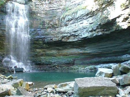
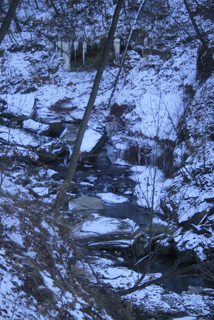
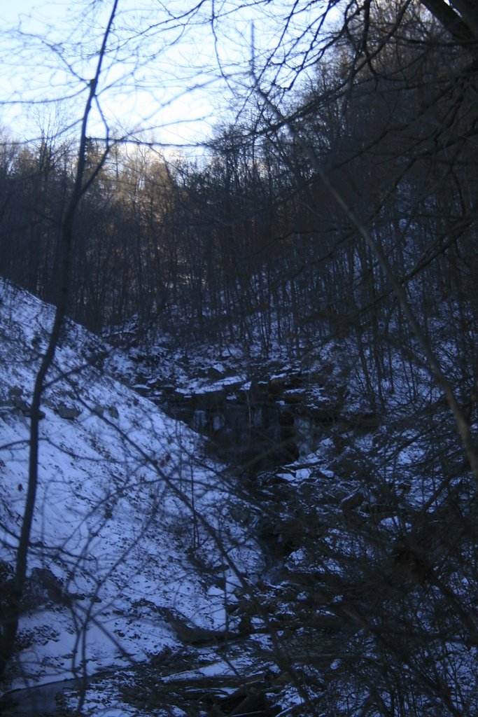
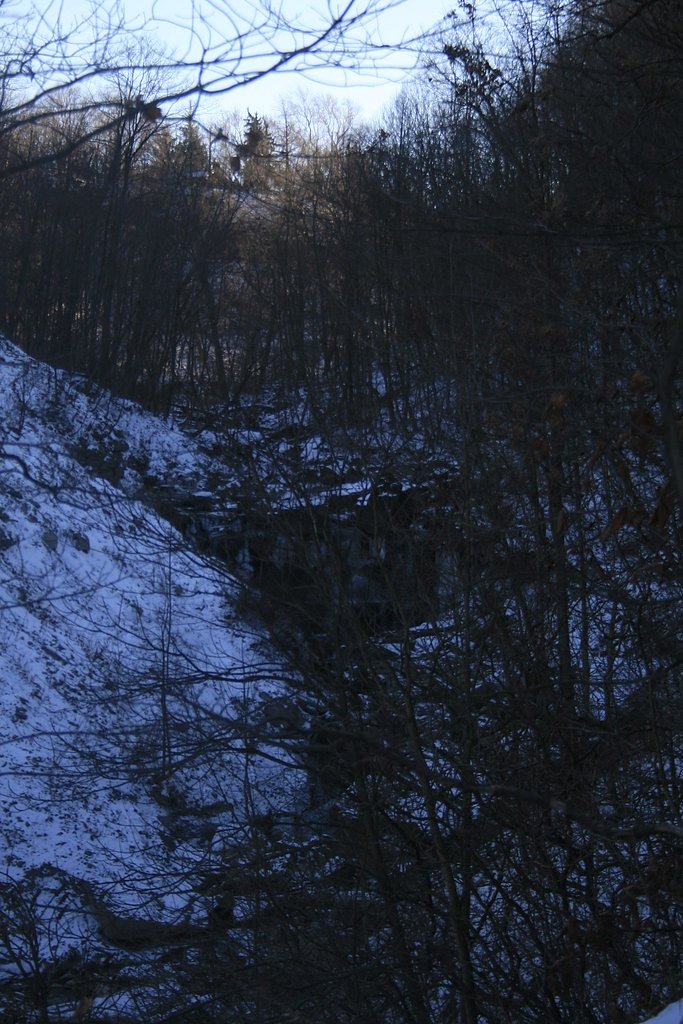

Photo Credits (5)
Difficulty
Moderate
Trail Length
11.0 km
Trail Type
Loop
Elevation Gain
177 m
About Chedoke Falls
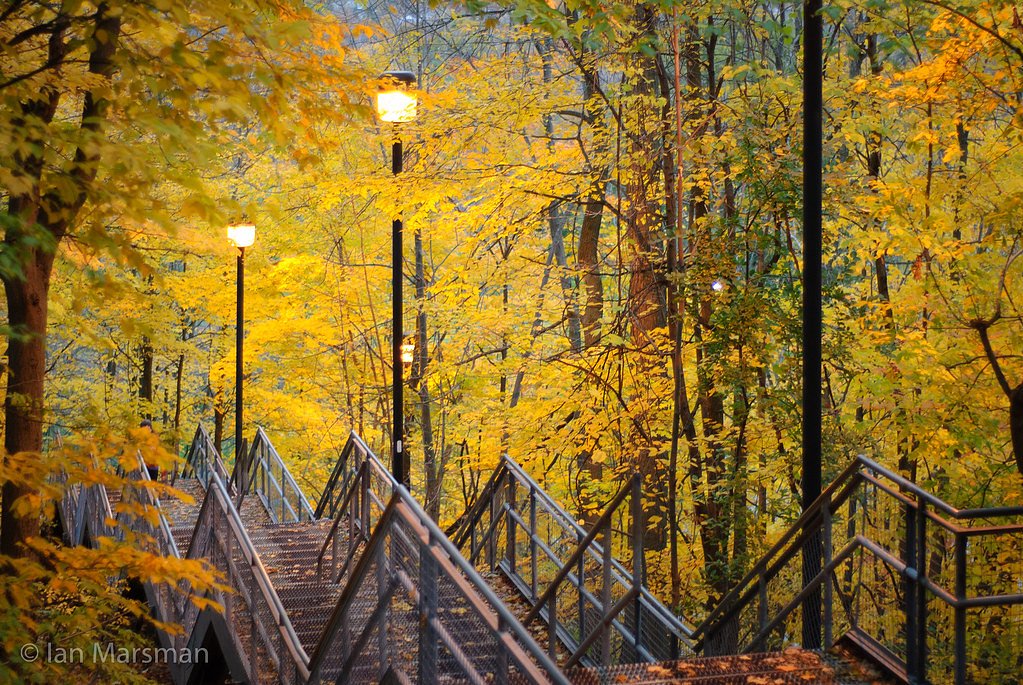
Chedoke Falls is one of Hamilton’s many hidden cascades set into the dramatic cliffs of the Niagara Escarpment, a landscape recognized as a UNESCO World Biosphere Reserve. The falls are easily reached from trails that tie into the network around the Bruce Trail, offering classic escarpment scenery, wooded ravines, rocky ledges and a series of viewpoints that frame the flowing water. It’s a compact, rewarding stop for anyone exploring Hamilton’s famed waterfall circuit. The approach to Chedoke offers a mix of vantage points: higher lookouts that peer down into the ravine and steeper, closer-in trails that give lower-angle perspectives near the creek. The route in and around the falls is popular with day hikers and photographers, and the short trip packs quintessential Niagara Escarpment character into a manageable outing.
The Setting
Chedoke Falls sits at 197 metres in the foothills of Ontario. The falls drop 18 metres.
Height: 60 feet
Nearby Falls Worth Visiting
Cliffview Falls (15 m) lies 0.6 kilometres to the west. Also nearby: Lower Westcliffe Falls (9 m, 0.8 km) and Lower Cliffview Falls (4 m, 0.8 km).
Trail & Hike Details
The Approach
The moderate 11.0-km loop trail gains 177 metres of elevation on the way to the falls.
Trail Description
A short, typically under-2-mile round-trip visit from the nearest access points with uneven footpaths, stairs, and viewpoints into the ravine. Trails can be muddy and steep in sections; lookouts provide views above the cascade and, in some places, lower-angle views from trails closer to the creek. Expect natural stone steps and possibly wooden stairs or handrails in places, but many sections are primitive and narrow.
What to Expect
The falls drop 18 metres.
Accessibility
The trail is not wheelchair accessible. Uneven terrain and elevation changes require steady footing.
Frequently Asked Questions
🐶 Are Dogs Allowed at Chedoke Falls?
❌ Dogs are not allowed
Are There Any Fees or Permits Required?
🆖 No fees required
🏊 Is There Swimming at Chedoke Falls?
❌ Swimming is not allowed
When to Visit
Spring (snowmelt and spring rains) for the most impressive flow. Early morning on weekends to avoid crowds. Fall for foliage and pleasant hiking conditions. In winter, the falls may form ice features but are often very slippery, only attempt with proper equipment and experience.
Seasonal Access
The best time to visit is Spring, Summer, Fall, and Winter. Check with the managing park or local authority for current conditions.
Safety Information
Hazards include slippery and muddy trails, steep drop-offs with limited or no barriers, loose rocks, strong currents near the creek, sudden changes in water level after rain, and hazardous ice in winter. Cell coverage may be limited in the ravine. Keep a safe distance from edges, supervise children, and do not attempt risky scrambles to get closer to the water. In winter, expect icefall and unstable iced-over surfaces.
Current Water Conditions
0.5 m³/s
Current discharge — how much water is flowing
About average for this time of year
Based on 42 years of record
6.03 m
Water depth at gauge
7-Day Discharge Trend
What does this mean for your visit?
Flow is about average for this time of year.
About This Gauge
7-Day Flow Outlook
Based on the WSC gauge SPENCER CREEK AT DUNDAS (6 km away).
Today
Moderate
0.5 m³/s
9/10Tomorrow
Moderate
0.6 m³/s
8/10Tue
Moderate
0.5 m³/s
6/10Wed
Moderate
0.5 m³/s
8/10Thu
Moderate
0.4 m³/s
8/10Fri
Moderate
0.5 m³/s
6/10Sat
Moderate
0.4 m³/s
8/10Best window: Today — moderate flow, mainly sunny (trip score 9/10).
Best time of year: this gauge typically runs highest from mid February to early May, peaking in April.
How we calculate this
This is a transparent outlook, not a precise forecast. We take the waterfall's current flow strength (how it ranks against its historical normal for today, from the nearest WSC stream gauge), carry that ranking forward along the gauge's seasonal curve, and nudge it for forecast rain. Confidence is highest for the next day or two and falls further out. Always check official conditions and your own judgment before visiting — high flows can be dangerous.
Know when to go.
Get a free email alert when waterfalls near Hamilton hit peak flow. We only send when conditions are worth the trip — no weekly newsletters, no spam.
Weather Forecast
Location & Access
Getting There
Located in the Chedoke Valley area of Hamilton (coords approx. 43.2417, -79.9007). Access is from nearby trailheads and residential streets feeding the Chedoke Radial Trail / valley access routes. Visitors typically park nearby and walk short, signed trails into the ravine.
Get Directions on Google MapsParking
Limited street parking near trail access; no large designated lot immediately at the falls. Some parking is available at nearby park or trailhead areas but expect to walk a short distance. Follow local signage and avoid blocking driveways.
Elevation
197 metres above sea level
Coordinates
43.241736° N, -79.900668° W
Visitor Tips & Gear
Stay on marked trails and lookout areas; do not climb over railings or descend to the creek where access is not permitted. Wear sturdy footwear; bring traction devices in winter. Pack out what you bring in. Check recent trail reports (AllTrails / local parks pages) for condition updates. Respect private property, some approach trails run close to residential areas. Be cautious of icy conditions and falling rock/ice in winter.
As an Amazon Associate, we earn from qualifying purchases.
With 11.0 km and 177 m of elevation gain, sturdy boots and trekking poles will help on this moderate trail. Icy conditions are common in winter — traction cleats are a smart addition.

Columbia Watertight II Rain Jacket
Packs into its own pocket, seam-sealed, and keeps you dry from spray and surprise rain.

Polarized Sunglasses (Knockaround)
Cuts glare off the water so you actually see the falls — and your photos turn out better too.

Earth Pak Waterproof Dry Bag
Keeps your phone and gear dry when waterfall mist soaks everything else.

Waterproof Phone Pouch (AiRunTech)
Cheap insurance — take photos right next to the falls without killing your phone.

Timberland Euro Sprint Mid Waterproof
Trusted waterproof boot with premium leather and grippy rubber sole — reliable on rocky, wet trails.

TrailBuddy Trekking Poles
Lightweight aluminum, cork grips, and flip-locks that actually hold — a best-seller for good reason.
Where to Stay
Browse vacation cabins and private rentals nearby
Unique outdoor stays — tents, yurts, and treehouses
Rent a campervan or RV for your waterfall road trip
Some links are affiliate links. We may earn a commission at no extra cost to you.
Nearby Campground
Lost Forest Park & Camping Resort
15 km away
Additional Information
Nearby Attractions
Hamilton is known for a large number of waterfalls in the escarpment region. Nearby attractions include other escarpment falls and the Chedoke Radial Trail, plus well-known sites across Hamilton such as Webster's Falls, Tews Falls, Albion Falls and Devil's Punchbowl (distances vary).
Wildlife
Typical urban-ravine wildlife: songbirds, small mammals (squirrels, raccoons), occasional deer, and various insects. Ticks and poison ivy may be present in warmer months; take precautions.
Cities near Chedoke Falls
Nearby Waterfalls
Writing about Chedoke Falls? Embed this waterfall on your site for free.