Difficulty
Easy
Trail Length
0.3 km
Trail Type
Out And Back
Elevation Gain
4 m
About Cascade de Sa
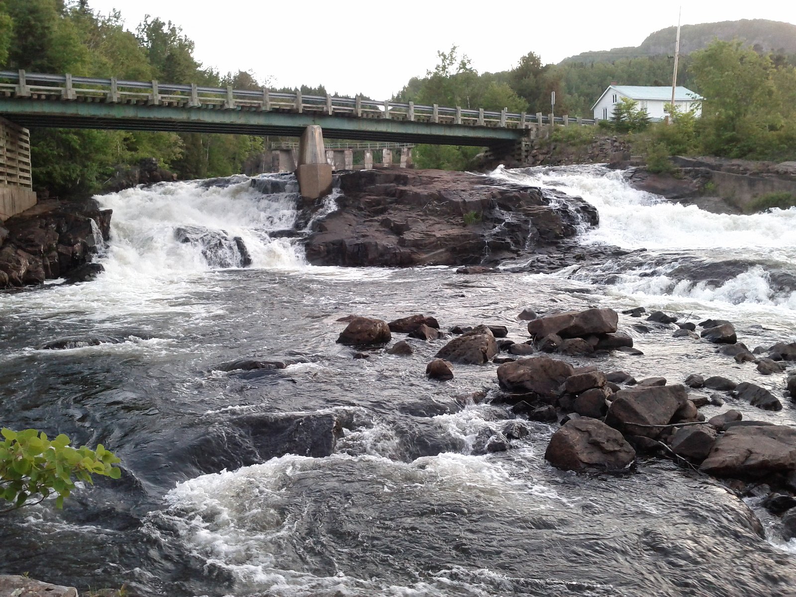
Cascade de Sa is a lesser-known cascade-style waterfall in rural Quebec located near coordinates 48.0321, -70.0683. It is reported to be roughly 32.3 miles from Rivière-du-Loup and about 62.7 miles from Chicoutimi. Public information about this specific fall is limited; visitors should expect a natural, likely undeveloped site accessed from local roads with minimal facilities. Flow is likely seasonal, highest in spring runoff and lower in late summer and fall. Exact height and developed amenities are not well documented.
Why This Waterfall Exists
Cascade de Sa flows over hard crystalline rock, primarily gneiss, laid down over 1.0-1.6 billion years ago. These resistant rocks form a durable ledge that water cannot easily wear away, creating the falls where softer material downstream has already eroded.
Trail & Hike Details
The Approach
The easy 0.3-km out-and-back trail gains 4 metres of elevation on the way to the falls.
Trail Description
There is no well-documented maintained trail for Cascade de Sa in widely available trail guides. Access may require walking from a roadside pullout along an unmarked route, possibly over uneven terrain, through forest, and across small streams. Expect short travel from parking to the water but possibly steep or brushy sections; conditions may vary seasonally and could involve a short scramble to view the falls.
What to Expect
A natural, likely small-to-medium cascade in a forested setting. Seasonal variation in flow, peak in spring, lower flows in late summer. Little or no infrastructure (no boardwalks, railings, or restrooms). Wet, mossy rocks and potentially steep banks near the water. Insects (black flies, mosquitoes) in warm months; icy and slippery conditions in winter and during freeze-thaw periods.
Accessibility
The trail is short and relatively flat, but the surface may be uneven. Contact the managing agency for accessibility details.
Frequently Asked Questions
🐶 Are Dogs Allowed at Cascade de Sa?
❌ Dogs are not allowed
Are There Any Fees or Permits Required?
🆖 No fees required
🏊 Is There Swimming at Cascade de Sa?
❌ Swimming is not allowed
When to Visit
Spring (late March–May) for highest water flow and dramatic cascades; early fall for foliage colors and moderate water flow. Summer is suitable for access but flows can be lower. Winter visits are possible but expect ice, deep snow in places, and significant slip hazards.
Seasonal Access
The best time to visit is Spring, Summer, Fall, and Winter. Check with the managing park or local authority for current conditions.
Safety Information
Hazards include slippery and unstable rocks, steep or eroding banks, strong currents near cascades, variable water flow (especially during spring runoff), limited cell service, and seasonal insect activity. In winter expect ice, hidden hazards under snow, and difficult road conditions. Do not approach cliff edges or riverbanks carelessly. If unsure of route or conditions, consider visiting with someone experienced or contacting local authorities for current access information.
7-Day Flow Outlook
Based on the WSC gauge PETIT SAGUENAY (RIVIERE) A 1 KM DU RUISSEAU DECHARGE DU LAC DAVID (7 km away).
Best time of year: this gauge typically runs highest from mid April to late June, peaking in May.
How we calculate this
This is a transparent outlook, not a precise forecast. We take the waterfall's current flow strength (how it ranks against its historical normal for today, from the nearest WSC stream gauge), carry that ranking forward along the gauge's seasonal curve, and nudge it for forecast rain. Confidence is highest for the next day or two and falls further out. Always check official conditions and your own judgment before visiting — high flows can be dangerous.
Know when to go.
Get a free email alert when waterfalls near Rivière-du-Loup hit peak flow. We only send when conditions are worth the trip — no weekly newsletters, no spam.
Weather Forecast
Location & Access
Getting There
Use the coordinates (48.0321, -70.0683) to navigate. The waterfall appears accessible from rural Quebec roads; reach the nearest paved road or local access road and then follow a likely unmarked path or short bushwhack to the stream. Expect limited signage. The site is not known to be inside a major provincial park; confirm access locally and respect private property.
Get Directions on Google MapsParking
Parking information is not well documented. Expect limited or informal roadside pullouts or a small parking area at the trailhead if one exists. Park clear of private driveways and avoid blocking traffic. Use high-clearance vehicles cautiously on unpaved approaches.
Elevation
196 metres above sea level
Coordinates
48.032095° N, -70.068316° W
Visitor Tips & Gear
1) Use the provided coordinates and a reliable GPS device, trails may be unmarked. 2) Wear sturdy, waterproof footwear with good traction. 3) Be prepared for limited or no cell service. 4) Respect private property and posted signs. 5) Avoid getting too close to the edge; wet rocks and undercut banks are hazardous. 6) Check local conditions (spring runoff, road closures) before heading out.
As an Amazon Associate, we earn from qualifying purchases.
For this easy 0.3 km trail, lightweight trail shoes and a water bottle are usually sufficient. Icy conditions are common in winter — traction cleats are a smart addition.

Columbia Watertight II Rain Jacket
Packs into its own pocket, seam-sealed, and keeps you dry from spray and surprise rain.

Earth Pak Waterproof Dry Bag
Keeps your phone and gear dry when waterfall mist soaks everything else.

Waterproof Phone Pouch (AiRunTech)
Cheap insurance — take photos right next to the falls without killing your phone.

Kahtoola MICROspikes
Cult-favorite traction cleats that grip ice and wet rock — essential for winter waterfall hikes.

Polarized Sunglasses (Knockaround)
Cuts glare off the water so you actually see the falls — and your photos turn out better too.

Osprey Daylite Daypack
Light, organized, and just the right size for a day hike — fits water, snacks, and layers.
Where to Stay
Browse vacation cabins and private rentals nearby
Unique outdoor stays — tents, yurts, and treehouses
Rent a campervan or RV for your waterfall road trip
Some links are affiliate links. We may earn a commission at no extra cost to you.
Nearby Campground
Camping de l'Élan (annuel)
15.7 km away
Additional Information
Nearby Attractions
Nearest significant population centers are Rivière-du-Loup (~32 miles) and the Saguenay/Chicoutimi area (~62 miles). Depending on route, visitors may also consider Parc national du Bic (near Rivière-du-Loup) or attractions in the greater Saguenay region; verify distances and travel logistics locally.
Wildlife
Typical regional wildlife may include white-tailed deer, moose, black bear, small mammals, and a variety of bird species. Insects such as black flies and mosquitoes are common in warmer months. Take standard wildlife precautions (store food properly, make noise to avoid surprising animals).
Cities near Cascade de Sa
Nearby Waterfalls
Writing about Cascade de Sa? Embed this waterfall on your site for free.