Bonnel Falls
By Armen Suny · Last verified Jun 2026
Difficulty
Easy
Trail Length
2.1 km
Trail Type
Out And Back
Elevation Gain
61 m
About Bonnel Falls
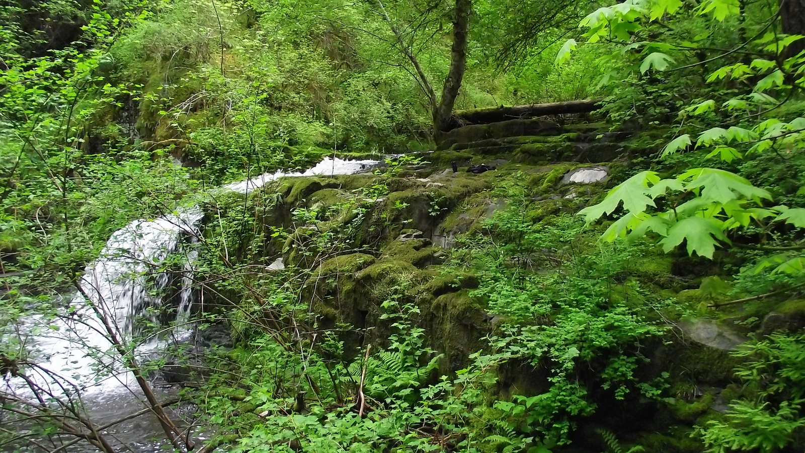
Bonnell Falls (coords: 49.2482, -124.2033) is a small, forested cascade on the British Columbia coast. The waterfall appears to be on a coastal creek or tributary and is most robust in spring and after heavy rain. Public information about formal trail development, official viewpoint infrastructure, and exact measured height is limited; details below err on the side of caution where specifics are not confidently known.
Why This Waterfall Exists
Bonnel Falls flows over loose river sediment, primarily alluvium, laid down about 3 million years ago. These soft rocks erode readily, allowing the stream to carve a vertical drop into the landscape.
Nearby Falls Worth Visiting
Englishman River Upper Falls (24 m) lies 10.6 kilometres to the west. Also nearby: Englishman River Falls (24 m, 10.6 km) and Knarston Waterfall (12 m, 6.0 km).
Trail & Hike Details
The Approach
The easy 2.1-km out-and-back trail gains 61 metres of elevation on the way to the falls.
Trail Description
Specific, verified trail descriptions for Bonnell Falls are scarce. The site is likely reached by a short footpath or informal trail through coastal forest from a nearby road or pullout. Terrain may include muddy or rooty forest floor, short steep sections, and a possible scramble to reach the base/viewing points. Expect minimal or no formal trail infrastructure (stairs, railings).
What to Expect
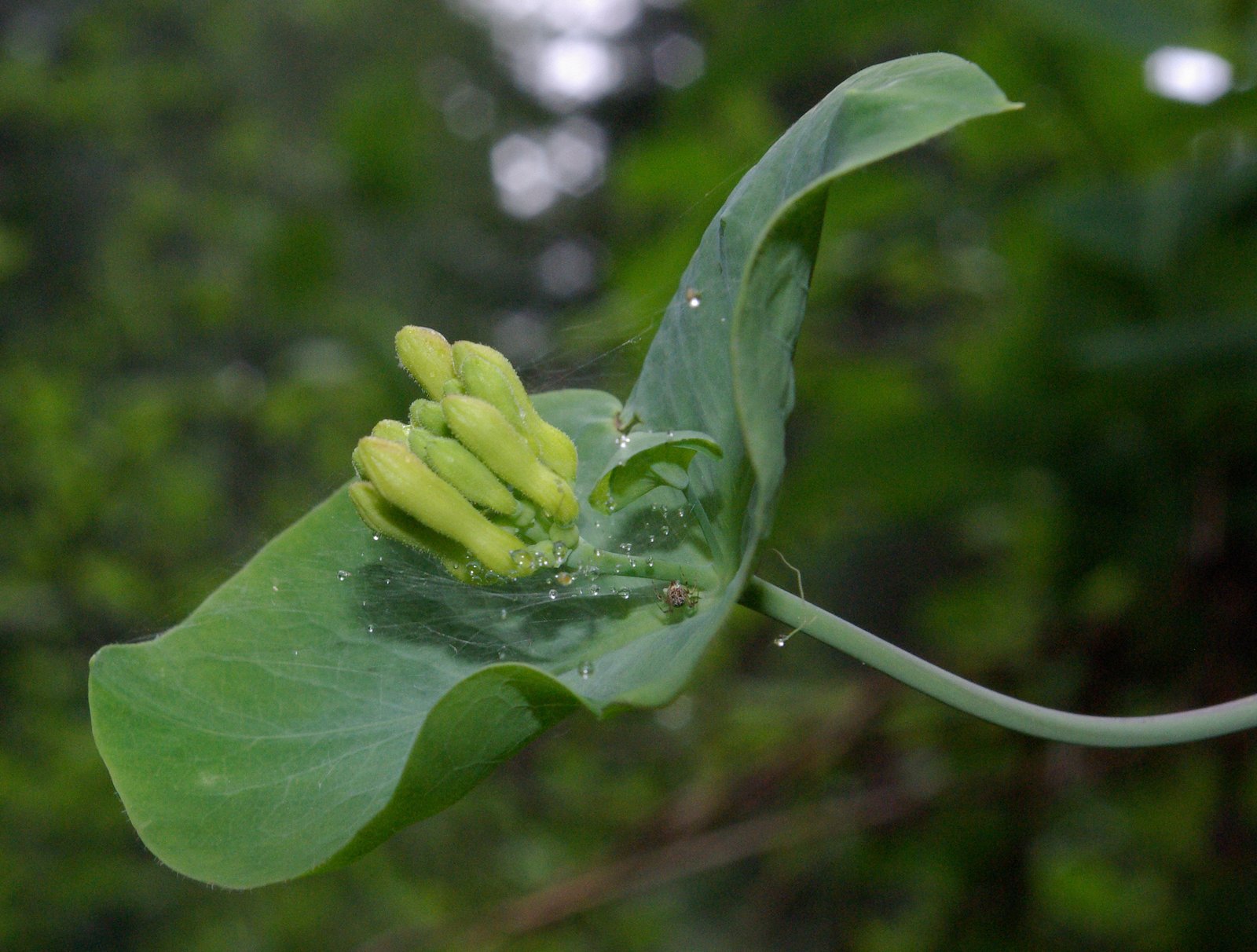
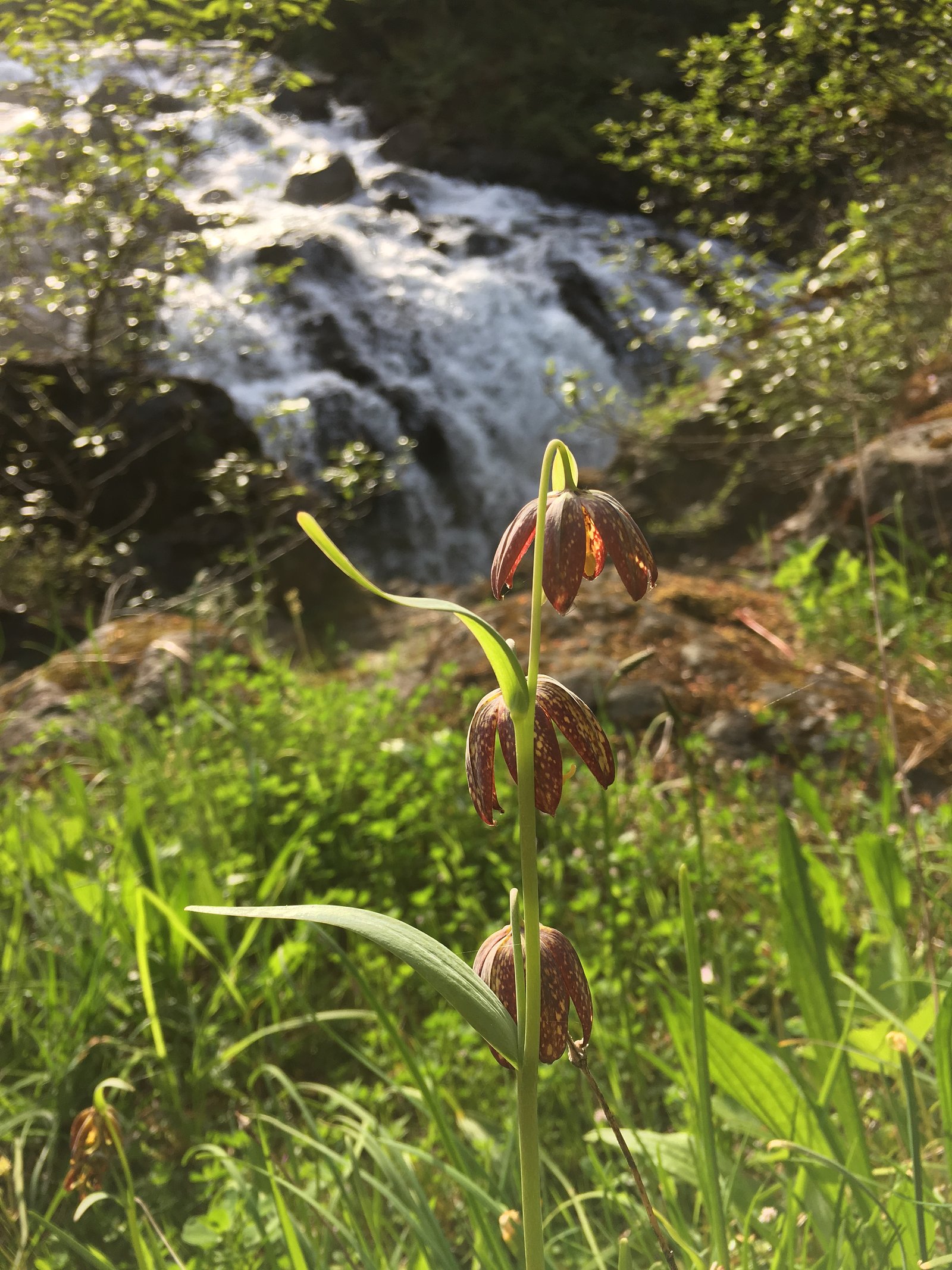
Forest-dominated coastal environment, wet and mossy rock surfaces near the falls, seasonal variability in flow (highest in spring and after heavy rain, lower in late summer). Limited signage and facilities; cell coverage may be intermittent. Wildlife typical of coastal BC (black bears, deer, small mammals, numerous birds). Rocks and banks around the waterfall can be slippery and unstable.
Accessibility
The trail is not wheelchair accessible. Uneven terrain and elevation changes require steady footing.
Frequently Asked Questions
🐶 Are Dogs Allowed at Bonnel Falls?
❌ Dogs are not allowed
Are There Any Fees or Permits Required?
🆖 No fees required
🏊 Is There Swimming at Bonnel Falls?
❌ Swimming is not allowed
When to Visit
Spring (snowmelt and rainy season) for highest flows and fullest waterfall; late spring to early summer typically offers a balance of good flow and milder weather. Late summer can be low-flow. Avoid heavy rain events if you are not experienced with wet, slippery terrain.
Seasonal Access
The best time to visit is Spring, Summer, and Fall. Winter access may be limited. Check with the managing park or local authority for current conditions.
Safety Information
Hazards may include slippery and unstable rocks, steep banks, fast-moving water (especially in spring/after rain), limited or no guardrails, and variable cell reception. Roads in coastal BC can be narrow and may include logging activity; obey signage and do not block gates. If you encounter large wildlife, give it space and back away slowly. Avoid getting too close to the waterfall edge or climbing on wet rocks. Notify someone of your plans and expected return time.
Current Water Conditions
0.9 m³/s
Current discharge — how much water is flowing
Much lower than usual for this time of year
Based on 53 years of record
0.90 m
Water depth at gauge
7-Day Discharge Trend
What does this mean for your visit?
Flow is well below normal for this time of year, so the waterfall may be a trickle.
About This Gauge
This gauge is on a nearby waterway and may not reflect exact conditions at the falls.
7-Day Flow Outlook
Based on the WSC gauge ENGLISHMAN RIVER NEAR PARKSVILLE (10 km away).
Today
Barely Flowing
0.9 m³/s
4/10Tomorrow
Barely Flowing
0.9 m³/s
4/10Tue
Barely Flowing
0.8 m³/s
4/10Wed
Barely Flowing
0.8 m³/s
4/10Thu
Barely Flowing
0.8 m³/s
4/10Fri
Barely Flowing
0.8 m³/s
4/10Sat
Barely Flowing
0.8 m³/s
4/10Best window: Today — barely flowing flow, cloudy (trip score 4/10).
Best time of year: this gauge typically runs highest from early January to mid February, peaking in January.
How we calculate this
This is a transparent outlook, not a precise forecast. We take the waterfall's current flow strength (how it ranks against its historical normal for today, from the nearest WSC stream gauge), carry that ranking forward along the gauge's seasonal curve, and nudge it for forecast rain. Confidence is highest for the next day or two and falls further out. Always check official conditions and your own judgment before visiting — high flows can be dangerous.
Know when to go.
Get a free email alert when waterfalls near Nanaimo hit peak flow. We only send when conditions are worth the trip — no weekly newsletters, no spam.
Weather Forecast
Location & Access
Getting There
Bonnell Falls is located at latitude 49.2482, longitude -124.2033 on the BC mainland/coastal region. Nearest population centers (approximate): Nanaimo ~16.9 miles, Vancouver ~45.4 miles, Powell River ~45.7 miles. Depending on your starting point, access may require travel on coastal roads and possibly a ferry or water crossing if arriving from Vancouver Island (Nanaimo). Exact public trailhead and road names are not confidently documented here; visitors should consult local maps, recent trip reports, or local park/municipal resources before travel.
Get Directions on Google MapsParking
Formal parking information is not well-documented. Parking may be informal (roadside) or at small pullouts; expect limited or no developed parking. Use caution when parking on shoulder or along narrow forest roads, and obey any posted signs or private property restrictions.
Elevation
100 metres above sea level
Coordinates
49.248187° N, -124.203309° W
Visitor Tips & Gear
• Check recent local trip reports or contact local park/municipal offices for current access and parking information before you go. • Wear sturdy, waterproof footwear with good traction; expect muddy trails and slippery rocks. • Bring insect repellent in warmer months and rain gear year-round. • Respect private property and posted signs; do not park where you obstruct gates or forestry operations. • If visiting in shoulder seasons or winter, be prepared for variable weather and possible snow/ice on trails and roads.
As an Amazon Associate, we earn from qualifying purchases.
This easy 2.1 km hike is straightforward — comfortable trail shoes and plenty of water should do. Sun exposure on the trail makes good sun protection a must in summer.

Columbia Watertight II Rain Jacket
Packs into its own pocket, seam-sealed, and keeps you dry from spray and surprise rain.

Earth Pak Waterproof Dry Bag
Keeps your phone and gear dry when waterfall mist soaks everything else.

Waterproof Phone Pouch (AiRunTech)
Cheap insurance — take photos right next to the falls without killing your phone.

Polarized Sunglasses (Knockaround)
Cuts glare off the water so you actually see the falls — and your photos turn out better too.

Osprey Daylite Daypack
Light, organized, and just the right size for a day hike — fits water, snacks, and layers.

OR Sombriolet Sun Hat
UPF 50+ sun protection with vents so your head doesn't cook on exposed trail sections.
Where to Stay
Browse vacation cabins and private rentals nearby
Unique outdoor stays — tents, yurts, and treehouses
Rent a campervan or RV for your waterfall road trip
Some links are affiliate links. We may earn a commission at no extra cost to you.
Nearby Campground
Nanoose Creek Campground
1.7 km away
Additional Information
Nearby Attractions
Nearby coastal communities and outdoor opportunities on the Sunshine Coast and adjacent islands; specific nearby parks and services should be confirmed locally. Use the coordinates to locate nearby provincial parks, trails, and towns before planning.
Wildlife
Typical coastal British Columbia species may be present: black bear, deer, small mammals (squirrels, rodents), and a variety of birds. Be bear-aware: carry bear spray where recommended and follow best practices for food storage and group travel.
Cities near Bonnel Falls
Nearby Waterfalls

Writing about Bonnel Falls? Embed this waterfall on your site for free.