
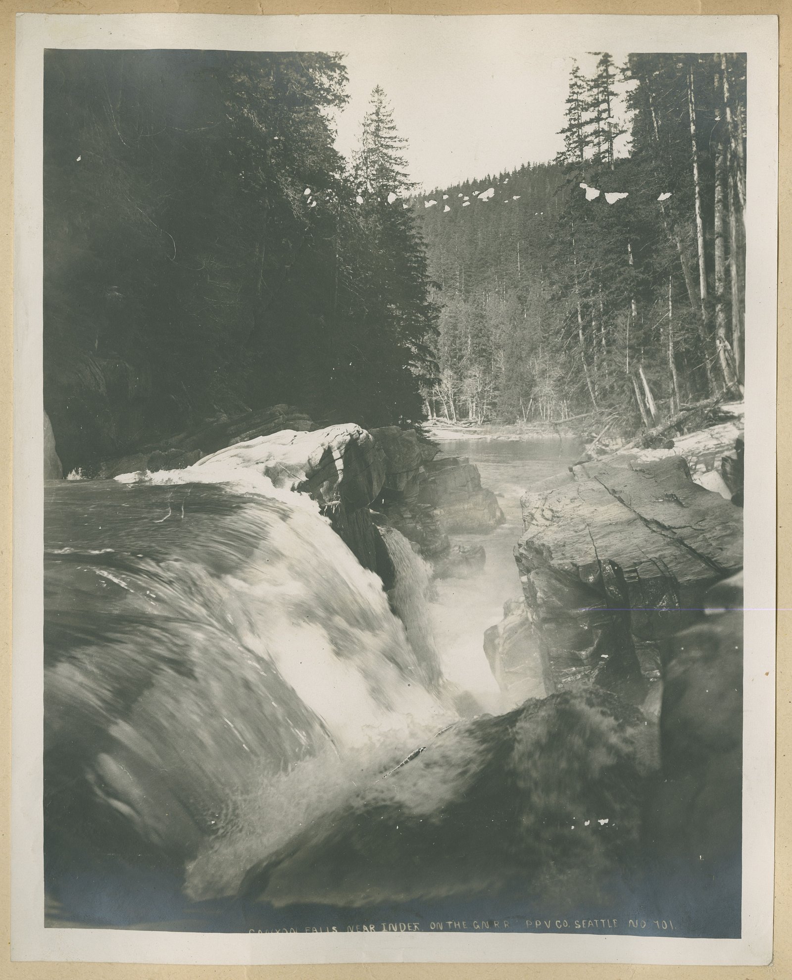
Betty Falls
Ontario • Little Current River Provincial Park • 5 m
By Armen Suny · Last verified Jun 2026
Photo Credits (3)
About Betty Falls
Betty Falls is a small, likely low-to-moderate-height cascade on a northern Ontario stream located at approximately 50.6968, -86.2573. The waterfall appears to be in a remote, forested area and may have variable flow depending on season (higher in spring melt and after heavy rain). Detailed, official measurements and visitor reports are limited; the description above is conservative and may be approximate.
The Setting
Betty Falls sits at 223 metres within Little Current River Provincial Park, in the foothills of Ontario. The falls drop 5 metres.
Why This Waterfall Exists
Betty Falls flows over hard crystalline rock laid down over 2.5-2.8 billion years ago. These resistant rocks form a durable ledge that water cannot easily wear away, creating a 16-foot drop where softer material downstream has already eroded.
Trail & Hike Details
Trail Description
There is limited publicly available information about an established maintained trail to Betty Falls. If a path exists it may be an unmarked or unmaintained footpath with short bushwhacking, rock scrambles, or stream crossings. Expect primitive conditions rather than built steps or boardwalks. Use topographic map, GPS coordinates, and basic navigation skills when attempting to reach the falls.
What to Expect
The falls drop a gentle 5 metres over hard crystalline rock.
Accessibility
Likely not accessible for people with mobility limitations. Expect uneven, potentially steep or rocky terrain and no constructed access features. Accessibility details are unconfirmed.
Frequently Asked Questions
🐶 Are Dogs Allowed at Betty Falls?
❌ Dogs are not allowed
Are There Any Fees or Permits Required?
🆖 No fees required
🏊 Is There Swimming at Betty Falls?
❌ Swimming is not allowed
When to Visit
Spring and early summer for highest water flow; fall for foliage color and fewer insects. Winter may show frozen ice formations but access can be difficult or dangerous (ice, deep snow, closed roads).
Seasonal Access
The best time to visit is Spring, Summer, Fall, and Winter. Check with Little Current River Provincial Park for current conditions.
Safety Information
Hazards may include slippery or unstable rocks near the waterfall, steep or uneven terrain, stream crossings, limited or no cell service, and wildlife encounters (including bears and moose). In cold seasons, ice can be unstable and there is risk of hypothermia. If driving on logging or unpaved roads, gates, seasonal closures, and washouts are possible, proceed with caution. Always tell someone your plans and expected return time when visiting remote locations.
Current Water Conditions
42.8 m³/s
Current discharge — how much water is flowing
Lower than usual for this time of year
Based on 44 years of record
28.12 m
Water depth at gauge
7-Day Discharge Trend
What does this mean for your visit?
Flow is lower than usual for this time of year.
About This Gauge
This gauge is on a nearby waterway and may not reflect exact conditions at the falls.
7-Day Flow Outlook
Based on the WSC gauge LITTLE CURRENT RIVER AT PERCY LAKE (20 km away).
Today
Low
43 m³/s
5/10Tomorrow
Low
43 m³/s
5/10Tue
Moderate
46 m³/s
5/10Wed
Low
44 m³/s
5/10Thu
Moderate
47 m³/s
5/10Fri
Low
45 m³/s
5/10Sat
Moderate
46 m³/s
5/10Best window: Today — low flow, cloudy (trip score 5/10).
Best time of year: this gauge typically runs highest from early May to early August, peaking in May.
How we calculate this
This is a transparent outlook, not a precise forecast. We take the waterfall's current flow strength (how it ranks against its historical normal for today, from the nearest WSC stream gauge), carry that ranking forward along the gauge's seasonal curve, and nudge it for forecast rain. Confidence is highest for the next day or two and falls further out. Always check official conditions and your own judgment before visiting — high flows can be dangerous.
Weather Forecast
Location & Access
Getting There
Betty Falls is in a remote portion of northern Ontario (coordinates 50.6968, -86.2573). Access is likely via secondary, logging, or unpaved forestry roads rather than paved highways. Expect limited signage and few or no formal pullouts. A high-clearance vehicle may be advisable. Nearest services and cell coverage may be many kilometers away.
Get Directions on Google MapsParking
Parking is likely roadside or an informal pullout; no confirmed developed parking lot or facilities. Park clear of gates and private driveways, and avoid blocking access roads. If unsure about land status, assume forest access roads may be privately managed or have seasonal gates.
Elevation
223 metres above sea level
Coordinates
50.696837° N, -86.257347° W
Land Management
Managed by Ontario Parks
Visitor Tips & Gear
• Treat location as remote: carry extra food, water, and a charged phone/power bank, but don’t rely on cell coverage. • Wear sturdy hiking footwear with good traction; expect wet, slippery rocks. • Bring insect repellent and long clothing in warm months. • If driving forest roads, check for seasonal gates and consider a high-clearance vehicle. • Practice Leave No Trace; there may be no facilities. • Check local forestry or provincial resources if you need confirmation on access or road conditions. • If unsure about land ownership, avoid crossing private property without permission.
Where to Stay
Browse vacation cabins and private rentals nearby
Unique outdoor stays — tents, yurts, and treehouses
Rent a campervan or RV for your waterfall road trip
Some links are affiliate links. We may earn a commission at no extra cost to you.
Additional Information
Nearby Attractions
Specific named attractions near these coordinates are not confirmed. Typical nearby features in remote northern Ontario may include lakes, rivers, forested backcountry, and opportunities for fishing, canoeing, or wildlife viewing. For verified nearby parks or attractions, consult provincial park maps or local tourism resources.
Wildlife
Typical northern Ontario wildlife may be present: black bears, moose, white-tailed deer, wolves/coyotes, beavers, and numerous bird species. Insects such as black flies and mosquitoes can be abundant in spring/summer. Take standard wilderness precautions for bears and ticks.
Nearby Waterfalls
Writing about Betty Falls? Embed this waterfall on your site for free.