Photo Credits (5)
Difficulty
Moderate
Trail Length
2.5 miles
Trail Type
Out And Back
Elevation Gain
300 ft
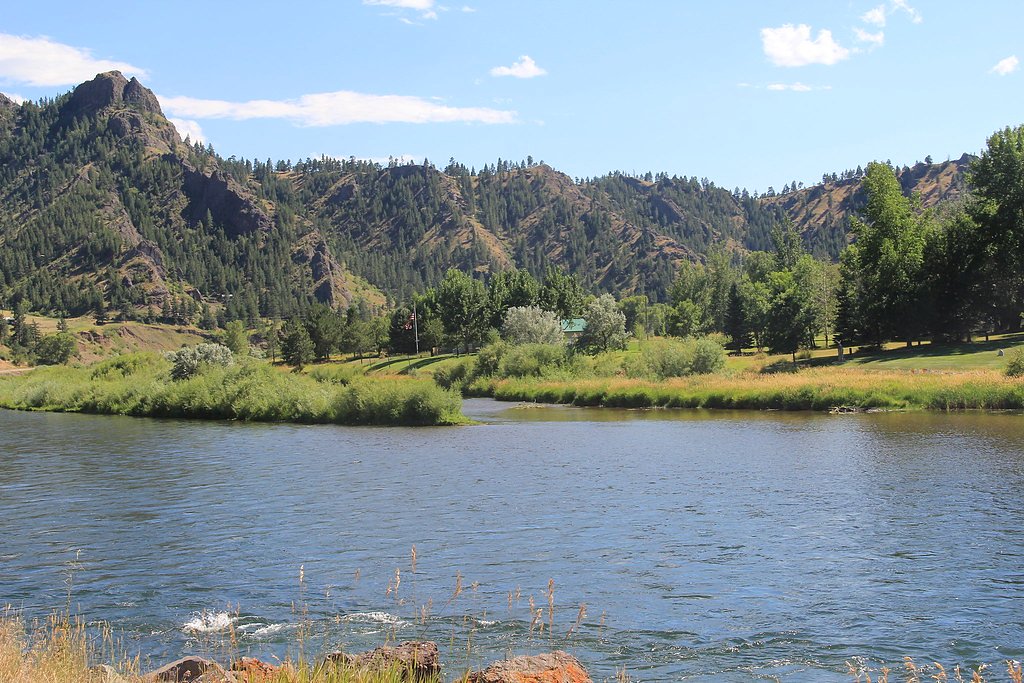
About Wolf Creek Falls
Wolf Creek Falls is a serene Montana waterfall prized for its gentle cascade and peaceful setting — a great short-destination for hikers and photographers looking for a quick nature escape. The falls are an easy reward after a brief hike, so plan for a relaxed outing and bring a camera to capture the water and surrounding scenery. Accessing the falls requires a moderately paced hike: the approach is an out-and-back route totaling about 2.5 miles with roughly 300 feet of elevation gain. This makes it a good half-day adventure for most reasonably fit hikers; wear sturdy shoes and be prepared for typical trail footing.
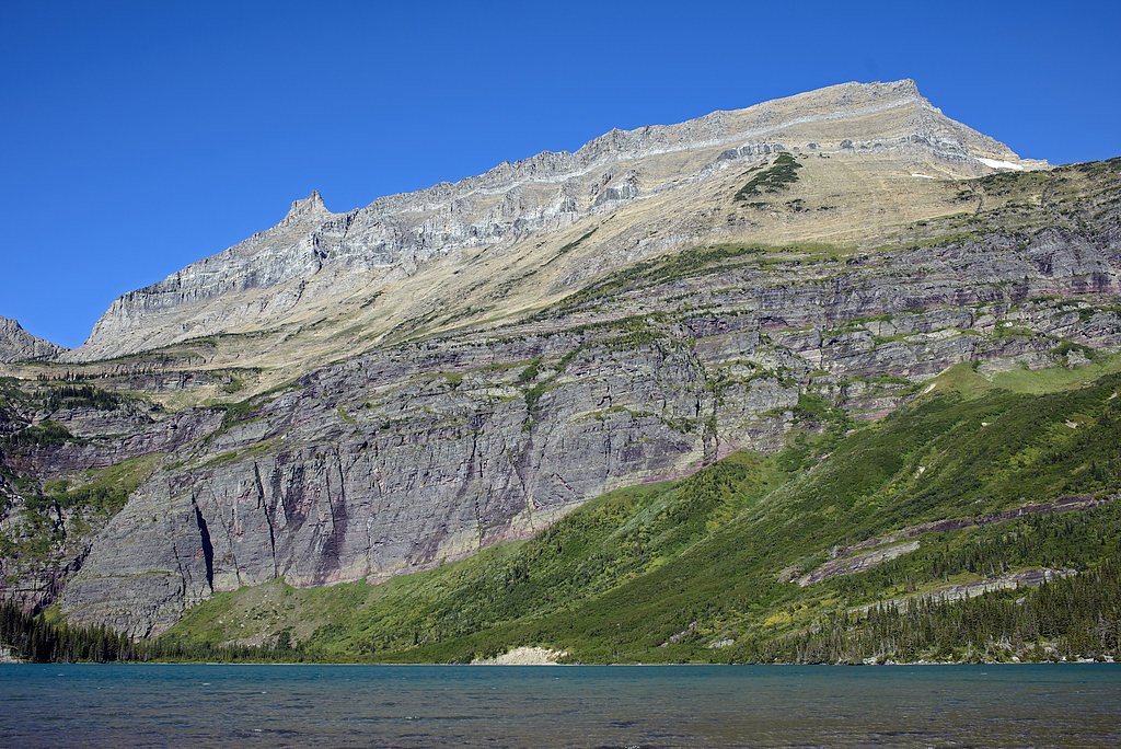
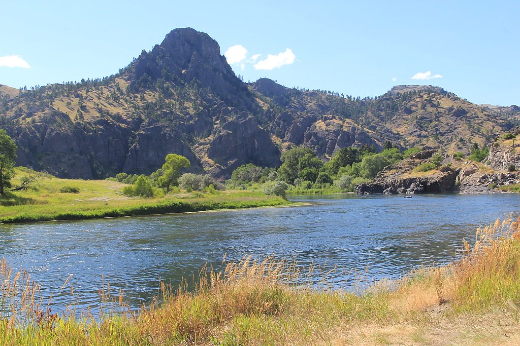
The Setting
Wolf Creek Falls sits at 2,881 feet along the Judith River, in the hills of Montana.
Trail & Hike Details
The Approach
The moderate 2.5-mile out-and-back trail gains 300 feet of elevation on the way to the falls.
Trail Description
Out-and-back trail, approximately 2.5 miles total with about 300 feet of elevation gain. Difficulty: moderate. USFS trail surface, grade, and technical class are not specified in available trail data; the route is a short hike that most hikers with basic trail experience can manage. Sturdy footwear and usual day-hike supplies are recommended.
What to Expect
Dogs are welcome.
Accessibility
The trail is not wheelchair accessible. Uneven terrain and elevation changes require steady footing.
Frequently Asked Questions
🐶 Are Dogs Allowed at Wolf Creek Falls?
✅ Dogs are allowed
Are There Any Fees or Permits Required?
🆖 No fees required
🏊 Is There Swimming at Wolf Creek Falls?
❌ Swimming is not allowed
When to Visit
Spring and early summer are ideal times to visit, as the waterfall is typically at its fullest due to snowmelt. Fall offers beautiful foliage, while summer provides warmer weather for hiking.
Seasonal Access
The best time to visit is Spring, Summer, and Fall. Winter access may be limited.
Safety Information
Be cautious of slippery rocks near the falls, especially after rain. Watch for wildlife and stay on marked trails to avoid getting lost.
Current Water Conditions
458 ft³/s
Current discharge — how much water is flowing
About average for this time of year
Based on 25 years of record
5.21 ft
Water depth at gauge
7-Day Discharge Trend
What does this mean for your visit?
Flow is about average for this time of year.
About This Gauge
This gauge is on a nearby waterway and may not reflect exact conditions at the falls.
7-Day Flow Outlook
Based on the USGS gauge Judith River nr mouth, nr Winifred MT (15 km away).
Today
Roaring
522 cfs
6/10Tomorrow
Roaring
530 cfs
6/10Tue
Roaring
492 cfs
6/10Wed
Roaring
491 cfs
6/10Thu
Roaring
527 cfs
6/10Fri
Roaring
479 cfs
6/10Sat
Roaring
407 cfs
9/10Best window: Sat — roaring flow, sunny (trip score 9/10).
Best time of year: this gauge typically runs highest from late April to late June, peaking in June.
How we calculate this
This is a transparent outlook, not a precise forecast. We take the waterfall's current flow strength (how it ranks against its historical normal for today, from the nearest USGS stream gauge), carry that ranking forward along the gauge's seasonal curve, and nudge it for forecast rain. Confidence is highest for the next day or two and falls further out. Always check official conditions and your own judgment before visiting — high flows can be dangerous.
Know when to go.
Get a free email alert when waterfalls near Winifred hit peak flow. We only send when conditions are worth the trip — no weekly newsletters, no spam.
Weather Forecast
Location & Access
Getting There
Wolf Creek Falls is located near the town of Wolf Creek, Montana. Access typically involves driving on local roads, and the trailhead is reachable by car. Specific directions may vary, so consulting a map or GPS is recommended.
Get Directions on Google MapsParking
Parking is available near the trailhead, but the size and availability of the parking area may vary. Arrive early during peak seasons to secure a spot.
Elevation
2,881 feet above sea level
Coordinates
47.534980° N, -109.669355° W
Visitor Tips & Gear
Start your hike early to avoid crowds and ensure you have enough daylight. Bring plenty of water, and be prepared for changing weather conditions. Cell service may be limited in the area.
As an Amazon Associate, we earn from qualifying purchases.
With 2.5 miles and 300 ft of elevation gain, sturdy boots and trekking poles will help on this moderate trail. Sun exposure on the trail makes good sun protection a must in summer.

Polarized Sunglasses (Knockaround)
Cuts glare off the water so you actually see the falls — and your photos turn out better too.

Columbia Watertight II Rain Jacket
Packs into its own pocket, seam-sealed, and keeps you dry from spray and surprise rain.

Earth Pak Waterproof Dry Bag
Keeps your phone and gear dry when waterfall mist soaks everything else.

Waterproof Phone Pouch (AiRunTech)
Cheap insurance — take photos right next to the falls without killing your phone.

Timberland Euro Sprint Mid Waterproof
Trusted waterproof boot with premium leather and grippy rubber sole — reliable on rocky, wet trails.

TrailBuddy Trekking Poles
Lightweight aluminum, cork grips, and flip-locks that actually hold — a best-seller for good reason.
Where to Stay
Browse vacation cabins and private rentals nearby
Unique outdoor stays — tents, yurts, and treehouses
Rent a campervan or RV for your waterfall road trip
Some links are affiliate links. We may earn a commission at no extra cost to you.
Nearby Campground
Judith Landing
14.4 miles away · 0 sites
Judith Landing Campground is located on the Upper Missouri National Wild and Scenic River at the PN Bridge, a major river crossing between Big Sandy on the north and Winifred on the south. Judith Landing Campground is open from May 15 to October 15, annually. This is a popular site for launching watercraft, as well as camping, picnicking and fishing. Campsites are on a first-come, first-serve basis — NO RESERVATIONS There are eight (8) sites that can accommodate trailers or recreational vehicles
Book on Recreation.govNearby Hot Springs
Hot springs near Winifred, Montana
Brooks Warm Spring
Brooks Warm Spring emerges at a mild 68°F in central Montana, requiring a short walk of about 998 meters from the nearest road....
Landusky Springs
Landusky Springs emerges at 70°F in the Little Rocky Mountains of Blaine County, Montana, at 3,710 feet elevation. The water is...
The (Landusky) Plunge
The Landusky Plunge registers 77 degrees Fahrenheit on Turtle Mountain Off-Reservation Trust Land in Blaine County, Montana, wi...
Looking for a soak after your hike? Explore more hot springs near Winifred, Montana on SoakingSprings.
Explore Montana springsAdditional Information
Nearby Attractions
The town of Wolf Creek offers small-town charm, and nearby Holter Lake provides opportunities for fishing and boating.
Wildlife
The area is home to various wildlife, including deer, birds, and small mammals. Be cautious and respectful of the natural habitat.
Cities near Wolf Creek Falls
Other waterfalls named Wolf Creek Falls
2 other waterfalls share this name across the U.S.
Writing about Wolf Creek Falls? Embed this waterfall on your site for free.