Wizard Falls
By Armen Suny · Last verified Mar 2026
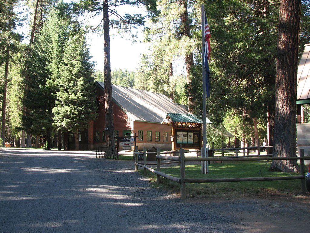
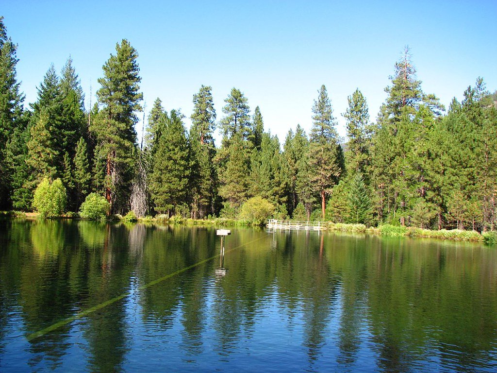
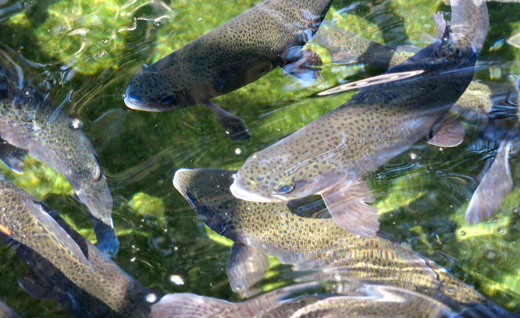

Photo Credits (5)
Difficulty
Moderate
Trail Length
2.4 miles
Trail Type
Out And Back
Elevation Gain
350 ft
About Wizard Falls
Historically known as Wizard Falls, this scenic cascade on the Metolius River sits in Jefferson County within the northwest foothills of Deschutes National Forest, managed by the U.S. Forest Service. The river here forms a series of long, tumbling rapids rather than a single vertical drop, set against a backdrop of dense Ponderosa and mixed conifer forest. The area’s dramatic volcanic neighbors — Three Fingered Jack to the west with Mount Washington to the south and Mount Jefferson to the north — help frame the valley just north of the town of Sisters, Oregon, and give hikers rewarding alpine views on clear days. Access is via the USFS West Metolius River Trail (Trail #4018). Many visitors praise the Metolius’ clear, blue-green water and tranquil pools as they approach the cascades; for overnight stays, Green Ridge Lookout campground lies about 2.52 km (under 10 km) from the falls, offering a convenient base for exploring the river corridor and nearby peaks.
The Setting
Wizard Falls sits at 2,762 feet within Deschutes National Forest, fed by the Metolius River, in the hills of Oregon.
Trail & Hike Details
The Approach
The moderate hike follows West Metolius River Trail (#4018), a 2.4-mile out-and-back trail over natural surface. Expect 350 feet of elevation gain. The trail is developed (Class 3).
USFS Trail
WEST METOLIUS RIVER TRAIL #4018
Trail Class
Developed
Surface
USFS Segment
7.28 miTrail Description
The route to Wizard Falls uses the USFS West Metolius River Trail (Trail #4018). Per Forest Service data the trail is classified as Class 3 with a native-material tread and the entire West Metolius corridor measures about 7.28 GIS miles. The commonly hiked segment to the falls is an out-and-back of roughly 2.4 miles round trip with about 350 feet of elevation gain and is typically rated moderate in difficulty. The path follows the Metolius River, offering steady riverside walking with native-surface tread; expect typical single-track conditions and moderate grade changes over the short climb to the cascade.
What to Expect
Dogs are welcome.
Accessibility
The trail is not wheelchair accessible. Uneven terrain and elevation changes require steady footing.
Frequently Asked Questions
🐶 Are Dogs Allowed at Wizard Falls?
✅ Dogs are allowed
Are There Any Fees or Permits Required?
🆖 No fees required
🏊 Is There Swimming at Wizard Falls?
❌ Swimming is not allowed
When to Visit
The best time to visit Wizard Falls is during spring, summer, or early fall when the weather is pleasant, and the trail is easily accessible.
Seasonal Access
The best time to visit is Spring, Summer, and Fall. Winter access may be limited. Check with Deschutes National Forest for seasonal road closures.
Safety Information
Stay on the designated trail to avoid damaging the environment and for your safety. Be cautious near the river, as the currents can be strong. During winter, check for snow or ice conditions before visiting.
Current Water Conditions
1,260 ft³/s
Current discharge — how much water is flowing
Much lower than usual for this time of year
Based on 105 years of record
1.00 ft
Water depth at gauge
51°F
ColdBracing — limit time in water
7-Day Discharge Trend
What does this mean for your visit?
Flow is well below normal for this time of year, so the waterfall may be a trickle. Water temperature is a bracing 51 degrees F, limit your time in the water.
About This Gauge
This gauge is on a nearby waterway and may not reflect exact conditions at the falls.
7-Day Flow Outlook
Based on the USGS gauge METOLIUS RIVER NEAR GRANDVIEW, OR (17 km away).
Today
Low
1260 cfs
6/10Tomorrow
Low
1352 cfs
4/10Sat
Moderate
1468 cfs
4/10Sun
Moderate
1440 cfs
5/10Mon
Low
1286 cfs
6/10Tue
Low
1229 cfs
6/10Wed
Low
1229 cfs
6/10Best window: Today — low flow, partly sunny (trip score 6/10).
Best time of year: this gauge typically runs highest from early April to early July, peaking in May.
How we calculate this
This is a transparent outlook, not a precise forecast. We take the waterfall's current flow strength (how it ranks against its historical normal for today, from the nearest USGS stream gauge), carry that ranking forward along the gauge's seasonal curve, and nudge it for forecast rain. Confidence is highest for the next day or two and falls further out. Always check official conditions and your own judgment before visiting — high flows can be dangerous.
Know when to go.
Get a free email alert when waterfalls near Camp Sherman hit peak flow. We only send when conditions are worth the trip — no weekly newsletters, no spam.
Weather Forecast
Location & Access
Getting There
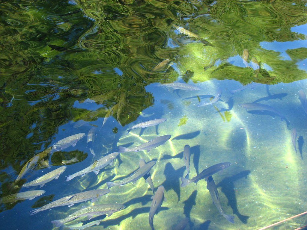
Wizard Falls is located near Camp Sherman, Oregon, within the Deschutes National Forest. It can be accessed via the Wizard Falls Fish Hatchery, which serves as a popular starting point for visitors.
Get Directions on Google MapsParking
Parking is available at the Wizard Falls Fish Hatchery. The lot is typically sufficient, but it may fill up during peak seasons.
Elevation
2,762 feet above sea level
Coordinates
44.518689° N, -121.632132° W
Land Management
Managed by USFS
Visitor Tips & Gear
Arrive early during summer weekends to secure parking. Bring a camera to capture the stunning blue waters. Wear comfortable walking shoes and bring water, as there are limited facilities along the trail.
As an Amazon Associate, we earn from qualifying purchases.
With 2.4 miles and 350 ft of elevation gain, sturdy boots and trekking poles will help on this moderate trail. Sun exposure on the trail makes good sun protection a must in summer.

Polarized Sunglasses (Knockaround)
Cuts glare off the water so you actually see the falls — and your photos turn out better too.

Columbia Watertight II Rain Jacket
Packs into its own pocket, seam-sealed, and keeps you dry from spray and surprise rain.

Earth Pak Waterproof Dry Bag
Keeps your phone and gear dry when waterfall mist soaks everything else.

Waterproof Phone Pouch (AiRunTech)
Cheap insurance — take photos right next to the falls without killing your phone.

Timberland Euro Sprint Mid Waterproof
Trusted waterproof boot with premium leather and grippy rubber sole — reliable on rocky, wet trails.

TrailBuddy Trekking Poles
Lightweight aluminum, cork grips, and flip-locks that actually hold — a best-seller for good reason.
Where to Stay

Dog-friendly house with pool hot tub fitness room fireplace grill & deck

Crooked River Ranch Cabins

The Suttle Lodge & Boathouse

Motel 6-Madras, OR
Browse vacation cabins and private rentals nearby
Unique outdoor stays — tents, yurts, and treehouses
Rent a campervan or RV for your waterfall road trip
Some links are affiliate links. We may earn a commission at no extra cost to you.
Nearby Campground
GREEN RIDGE LOOKOUT
1.6 miles away · 1 sites
Overview Green Ridge Lookout is perched on a ridge more than 2,000 feet above the Metolius River. It offers guests a unique lodging experience in Deschutes National Forest. The lookout, a 20-foot tall fire lookout with unmatched views of Mt. Jefferson and the Metolius River basin, was built in the 1960s. Green Ridge Lookout is available for rent early May - June and mid September - mid November. During the summer months, the lookout is staffed with Forest Service volunteers who help with forest f
Book on Recreation.govNearby Hot Springs
Hot springs near Camp Sherman, Oregon

Breitenbush Hot Springs
Breitenbush Hot Springs emerges at 198°F along the Breitenbush River, ranking as one of Oregon's hottest thermal features with ...

Bigelow Hot Springs
Bigelow Hot Springs, also called Deer Creek Hot Springs, emerges at 142°F just 400 feet from Deer Creek Road in the Willamette ...
Belknap Springs
Belknap Springs flows at 160°F along the McKenzie River in the Cascade Range, emerging just 510 feet from North Belknap Springs...

Springs
These thermal springs emerge at 125°F on sovereign Warm Springs Reservation land in Jefferson County, creating a 72-degree temp...
Kahneeta Hot Springs
Kahneeta Hot Springs flows at 126°F on Warm Springs Reservation tribal land at 1,450 feet elevation, sitting just 6 meters from...
Foley Springs
Foley Springs emerges at 178°F in the Cascade Range of Lane County, making it one of Oregon's hottest thermal features with rec...
Looking for a soak after your hike? Explore more hot springs near Camp Sherman, Oregon on SoakingSprings.
Explore Oregon springsAdditional Information
Nearby Attractions
Nearby attractions include the Wizard Falls Fish Hatchery, Camp Sherman, and other scenic spots along the Metolius River.
Wildlife
The area is home to various wildlife, including birds, deer, and fish. Keep an eye out for osprey and other bird species near the river.
Cities near Wizard Falls
Writing about Wizard Falls? Embed this waterfall on your site for free.