Winooski Falls
By Armen Suny · Last verified May 2026
Photo Credits (1)
Difficulty
Moderate
Trail Length
2.4 miles
Trail Type
Out And Back
Elevation Gain
350 ft
About Winooski Falls
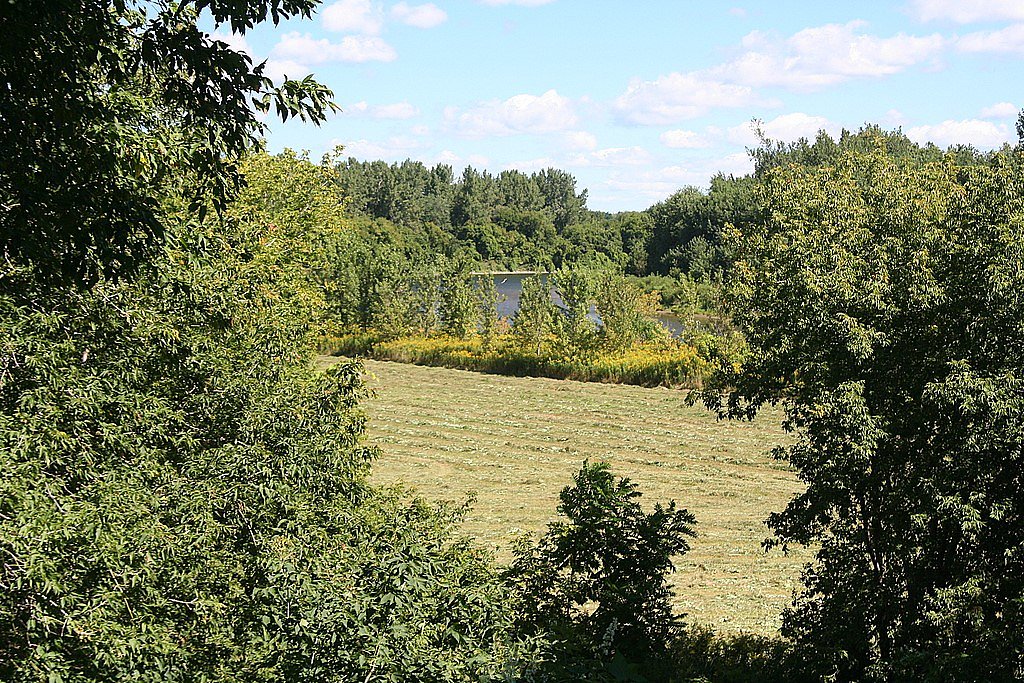
Winooski Falls sits on the Winooski River in the heart of Winooski, Vermont, where a short, dramatic cascade meets an intimate urban waterfront. The falls offer a striking contrast of natural waterpower against a backdrop of mixed residential, commercial, and recreational development — a reminder of the city’s industrial past while serving as a pleasant focal point for downtown activity. Winooski is a compact city (population 7,997 as of the 2020 census) and is the most densely populated municipality in northern New England, so the falls are easy to reach from nearby neighborhoods and businesses. Because the falls are integrated into the cityscape, they’re enjoyed as part of casual strolls and short outings along the river. Public walkways and viewpoints near the river provide accessible places to watch the current and photograph the cascade, making Winooski Falls a quick, rewarding stop for visitors exploring Burlington’s northside and the surrounding Chittenden County communities.
The Setting
Winooski Falls sits at 144 feet along the Winooski River, in the coastal lowlands of Vermont.
Trail & Hike Details
The Approach
The moderate 2.4-mile out and back trail gains 350 feet of elevation on the way to the falls.
Trail Description
There is no wilderness trail to Winooski Falls; the falls are best accessed from urban walkways and public riverfront paths (for example the Winooski River Walk) and nearby streets. For visitors looking for more of a hike, a nearby out-and-back route of about 2.4 miles with roughly 350 feet of elevation gain is commonly used for a moderate walk or run; the route is rated moderate in difficulty and typically follows riverfront paths and public sidewalks rather than backcountry tread. Expect an urban setting, easy access points, and short distances between parking, viewpoints, and the falls.
What to Expect
Dogs are welcome.
Accessibility
The trail is not wheelchair accessible. Uneven terrain and elevation changes require steady footing.
Frequently Asked Questions
🐶 Are Dogs Allowed at Winooski Falls?
✅ Dogs are allowed
Are There Any Fees or Permits Required?
🆖 No fees required
🏊 Is There Swimming at Winooski Falls?
❌ Swimming is not allowed
When to Visit
Spring and early summer are ideal times to visit, as the water flow is typically strongest during these seasons.
Seasonal Access
The best time to visit is Spring, Summer, Fall, and Winter.
Safety Information
Be cautious near the water, as the river can have strong currents. Stay on designated walkways and avoid venturing too close to the edge of the falls.
Current Water Conditions
1,890 ft³/s
Current discharge — how much water is flowing
Higher than usual for this time of year
Based on 97 years of record
3.48 ft
Water depth at gauge
7-Day Discharge Trend
What does this mean for your visit?
The water is flowing higher than usual for this time of year.
About This Gauge
7-Day Flow Outlook
Based on the USGS gauge WINOOSKI RIVER NEAR ESSEX JUNCTION, VT (4 km away).
Today
Barely Flowing
1890 cfs
5/10Tomorrow
Low
2149 cfs
3/10Wed
Low
2017 cfs
3/10Thu
Low
1981 cfs
3/10Fri
Low
1899 cfs
3/10Sat
Low
1461 cfs
3/10Sun
Low
1557 cfs
4/10Best window: Today — barely flowing flow, sunny (trip score 5/10).
Best time of year: this gauge typically runs highest from mid March to late May, peaking in April.
How we calculate this
This is a transparent outlook, not a precise forecast. We take the waterfall's current flow strength (how it ranks against its historical normal for today, from the nearest USGS stream gauge), carry that ranking forward along the gauge's seasonal curve, and nudge it for forecast rain. Confidence is highest for the next day or two and falls further out. Always check official conditions and your own judgment before visiting — high flows can be dangerous.
Know when to go.
Get a free email alert when waterfalls near Winooski hit peak flow. We only send when conditions are worth the trip — no weekly newsletters, no spam.
Weather Forecast
Location & Access
Getting There
Winooski Falls is easily accessible from downtown Winooski. The falls are located near the Winooski River Walk and can be reached by car or on foot from nearby parking areas.
Get Directions on Google MapsParking
There is parking available in downtown Winooski, including public lots and street parking. Availability may vary depending on the time of day.
Hours
Elevation
144 feet above sea level
Coordinates
44.488938° N, -73.183739° W
Visitor Tips & Gear
Visit during the spring or after heavy rains to see the falls at their most powerful. Be cautious near the water, as the river can have strong currents. Consider exploring the nearby restaurants and shops in downtown Winooski.
As an Amazon Associate, we earn from qualifying purchases.
With 2.4 miles and 350 ft of elevation gain, sturdy boots and trekking poles will help on this moderate trail. Icy conditions are common in winter — traction cleats are a smart addition.

Columbia Watertight II Rain Jacket
Packs into its own pocket, seam-sealed, and keeps you dry from spray and surprise rain.

Polarized Sunglasses (Knockaround)
Cuts glare off the water so you actually see the falls — and your photos turn out better too.

Earth Pak Waterproof Dry Bag
Keeps your phone and gear dry when waterfall mist soaks everything else.

Waterproof Phone Pouch (AiRunTech)
Cheap insurance — take photos right next to the falls without killing your phone.

Timberland Euro Sprint Mid Waterproof
Trusted waterproof boot with premium leather and grippy rubber sole — reliable on rocky, wet trails.

TrailBuddy Trekking Poles
Lightweight aluminum, cork grips, and flip-locks that actually hold — a best-seller for good reason.
Where to Stay

Hampton Inn Burlington - Colchester

Hilton Garden Inn Burlington Downtown

Fairfield Inn by Marriott Burlington Williston

Green Mountain Suites Hotel
Browse vacation cabins and private rentals nearby
Unique outdoor stays — tents, yurts, and treehouses
Rent a campervan or RV for your waterfall road trip
Some links are affiliate links. We may earn a commission at no extra cost to you.
Additional Information
Nearby Attractions
Downtown Winooski offers a variety of restaurants, cafes, and shops. The Winooski River Walk provides additional scenic views and walking opportunities.
Wildlife
Visitors may see birds and other small wildlife typical of river environments, though the urban setting limits larger wildlife sightings.
Cities near Winooski Falls
Writing about Winooski Falls? Embed this waterfall on your site for free.