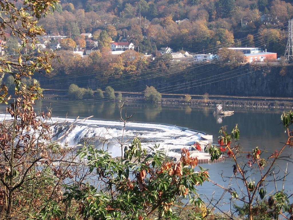
Willamette Falls
Oregon • 40 ft
By Armen Suny · Last verified Mar 2026
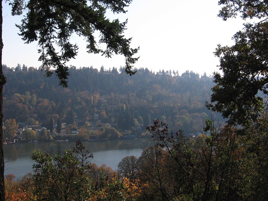
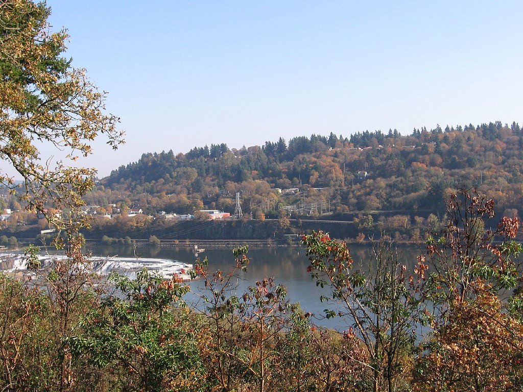
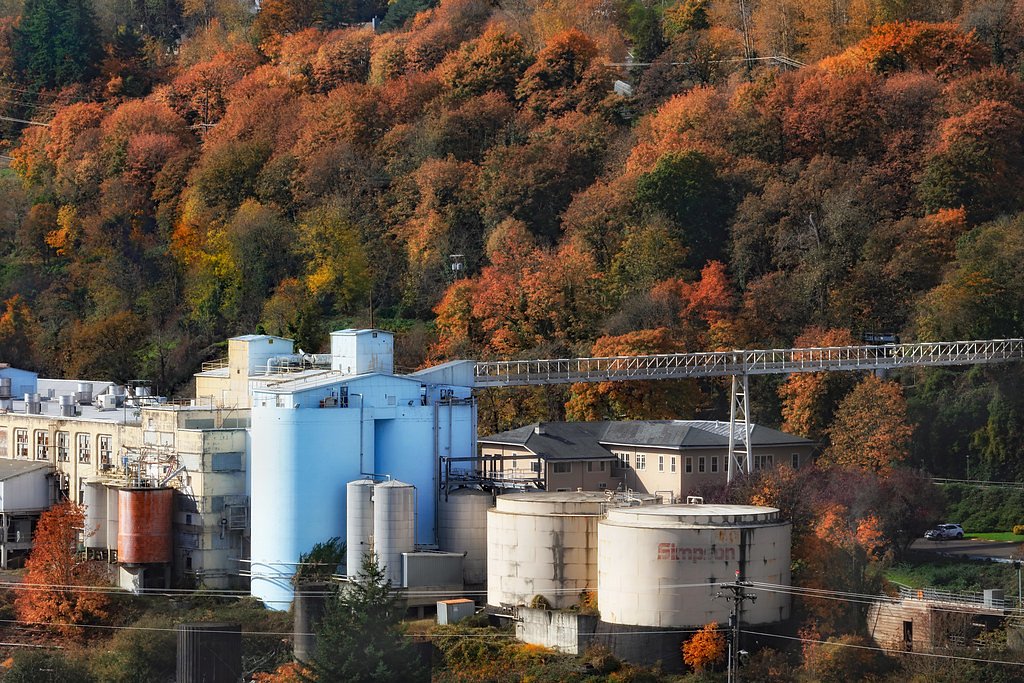

Photo Credits (5)
Difficulty
Easy
Trail Length
0.4 miles
Trail Type
Out And Back
Elevation Gain
50 ft
About Willamette Falls
Willamette Falls is a stunning horseshoe-shaped waterfall located on the Willamette River near Oregon City, Oregon. It is one of the largest waterfalls in the United States by volume and has significant historical and cultural importance, particularly to Native American tribes and the region's industrial history.
The Setting
Willamette Falls sits at 59 feet within Willamette River, fed by the Tualatin River, in the coastal lowlands of Oregon. The falls drop 40 feet.
Height: 40 feet
Trail & Hike Details
The Approach
The easy 0.4-mile out-and-back trail gains 50 feet of elevation on the way to the falls.
Trail Description
There is no hiking trail directly to Willamette Falls. The falls are best viewed from designated viewpoints in Oregon City or from the water via boat or kayak.
What to Expect
The falls drop 40 feet.
Accessibility
The trail is short and relatively flat, but the surface may be uneven. Contact the managing agency for accessibility details.
Frequently Asked Questions
🐶 Are Dogs Allowed at Willamette Falls?
❌ Dogs are not allowed
Are There Any Fees or Permits Required?
🆖 No fees required
🏊 Is There Swimming at Willamette Falls?
❌ Swimming is not allowed
When to Visit
Spring is typically the best time to visit due to higher water flow, but the falls are impressive year-round.
Seasonal Access
The best time to visit is Spring, Summer, Fall, and Winter.
Safety Information
Do not attempt to approach the falls directly due to strong currents and industrial hazards. Stick to designated viewpoints or guided water tours.
Current Water Conditions
285 ft³/s
Current discharge — how much water is flowing
Higher than usual for this time of year
Based on 96 years of record
3.12 ft
Water depth at gauge
7-Day Discharge Trend
What does this mean for your visit?
The water is flowing higher than usual for this time of year.
About This Gauge
7-Day Flow Outlook
Based on the USGS gauge TUALATIN RIVER AT WEST LINN, OR (4 km away).
Today
Roaring
325 cfs
6/10Tomorrow
Roaring
317 cfs
6/10Mon
Roaring
287 cfs
8/10Tue
Roaring
272 cfs
8/10Wed
Roaring
264 cfs
8/10Thu
Roaring
269 cfs
6/10Fri
Roaring
279 cfs
6/10Best window: Mon — roaring flow, mostly cloudy (trip score 8/10).
Best time of year: this gauge typically runs highest from mid December to mid March, peaking in January.
How we calculate this
This is a transparent outlook, not a precise forecast. We take the waterfall's current flow strength (how it ranks against its historical normal for today, from the nearest USGS stream gauge), carry that ranking forward along the gauge's seasonal curve, and nudge it for forecast rain. Confidence is highest for the next day or two and falls further out. Always check official conditions and your own judgment before visiting — high flows can be dangerous.
Know when to go.
Get a free email alert when waterfalls near West Linn hit peak flow. We only send when conditions are worth the trip — no weekly newsletters, no spam.
Weather Forecast
Location & Access
Getting There
Willamette Falls is located along the Willamette River, just off Interstate 205 near Oregon City. The falls can be viewed from several roadside viewpoints, including the Oregon City Municipal Elevator and the McLoughlin Promenade.
Get Directions on Google MapsParking
Parking is available at nearby public lots in Oregon City, but there is no dedicated parking area specifically for the falls.
Elevation
59 feet above sea level
Coordinates
45.351232° N, -122.622036° W
Land Management
Managed by BLM
Visitor Tips & Gear
Bring binoculars or a camera with a zoom lens for better views of the falls. Consider visiting during the spring when water flow is at its peak. Be aware that access to the falls is limited to viewpoints or watercraft.
As an Amazon Associate, we earn from qualifying purchases.
For this easy 0.4 miles trail, lightweight trail shoes and a water bottle are usually sufficient. Icy conditions are common in winter — traction cleats are a smart addition.

Columbia Watertight II Rain Jacket
Packs into its own pocket, seam-sealed, and keeps you dry from spray and surprise rain.

Polarized Sunglasses (Knockaround)
Cuts glare off the water so you actually see the falls — and your photos turn out better too.

Earth Pak Waterproof Dry Bag
Keeps your phone and gear dry when waterfall mist soaks everything else.

Waterproof Phone Pouch (AiRunTech)
Cheap insurance — take photos right next to the falls without killing your phone.

Kahtoola MICROspikes
Cult-favorite traction cleats that grip ice and wet rock — essential for winter waterfall hikes.

JOBY GorillaPod Starter Kit
Wraps around railings and rocks for long-exposure waterfall shots — no flat surface needed.
Where to Stay

Hampton Inn - Portland/Clackamas

Quality Inn & Suites Clackamas - Portland

Best Western Plus Rivershore Hotel

Holiday Inn Express Portland SE - Clackamas Area by IHG
Browse vacation cabins and private rentals nearby
Unique outdoor stays — tents, yurts, and treehouses
Rent a campervan or RV for your waterfall road trip
Some links are affiliate links. We may earn a commission at no extra cost to you.
Nearby Campground
Clackamas River Ranger District
14 miles away · 0 sites
Clackamas Ranger District is Southwest of Mt Hood.
Book on Recreation.govNearby Hot Springs
Hot springs near West Linn, Oregon

Bagby Hot Springs
Bagby Hot Springs flows at 136°F deep in Mount Hood National Forest at 2,272 feet elevation, requiring a 3,720-foot hike from F...

Mount Hood Fumaroles
Mount Hood Fumaroles vent at 194°F from the flanks of Oregon's highest peak, among the state's most extreme geothermal features...

Swim Warm Springs
Swim Warm Springs emerges at 79°F within Mount Hood National Forest at 4,063 feet elevation, flowing just 6.9 meters from White...

Austin Hot Springs
Austin Hot Springs discharges at 186°F along the Clackamas River at 1,680 feet elevation, emerging just 310 feet from Clackamas...
Moffetts (Bonneville) Hot Springs
Moffetts Hot Springs, also called Bonneville Hot Springs, flows at 97 degrees in the Gifford Pinchot National Forest at just 75...
Rock Creek Hot Springs
Rock Creek Hot Springs emerges in the Columbia River Gorge in Skamania County, Washington, with water documented as 'hot' witho...
Looking for a soak after your hike? Explore more hot springs near West Linn, Oregon on SoakingSprings.
Explore Oregon springsAdditional Information
Nearby Attractions
Nearby attractions include the Oregon City Municipal Elevator, McLoughlin Promenade, and the End of the Oregon Trail Interpretive Center.
Wildlife
The area around the falls is home to various bird species and fish, including salmon and steelhead that migrate through the falls.
Cities near Willamette Falls
Writing about Willamette Falls? Embed this waterfall on your site for free.