Wilderness Falls
By Armen Suny · Last verified Mar 2026
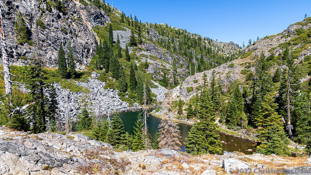
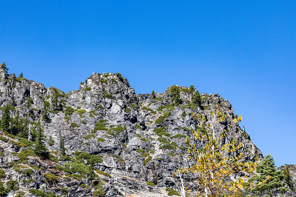
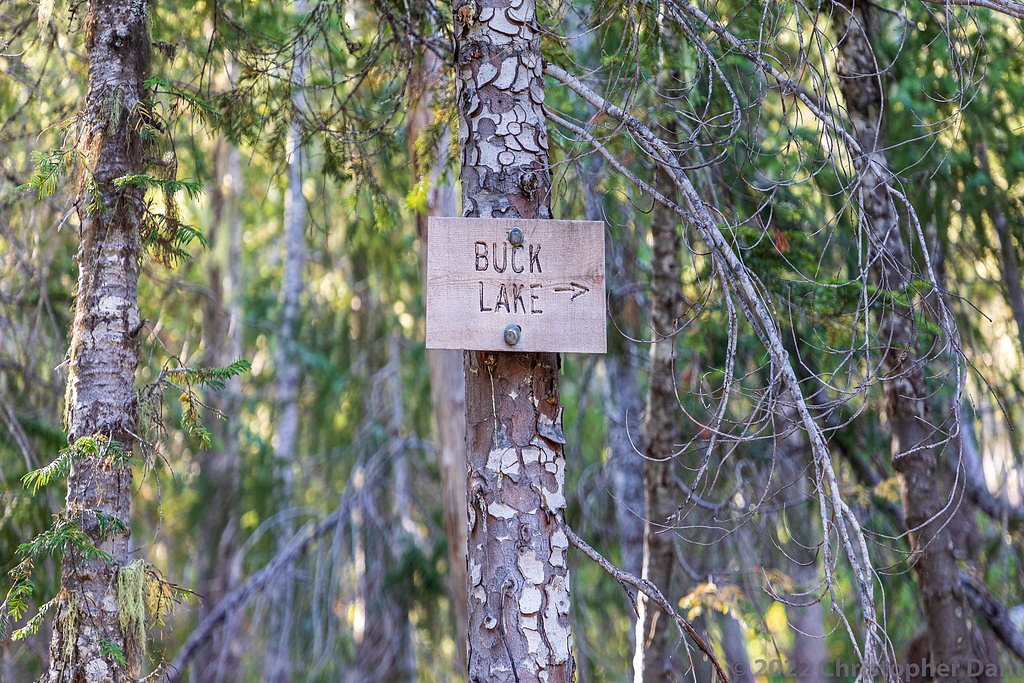
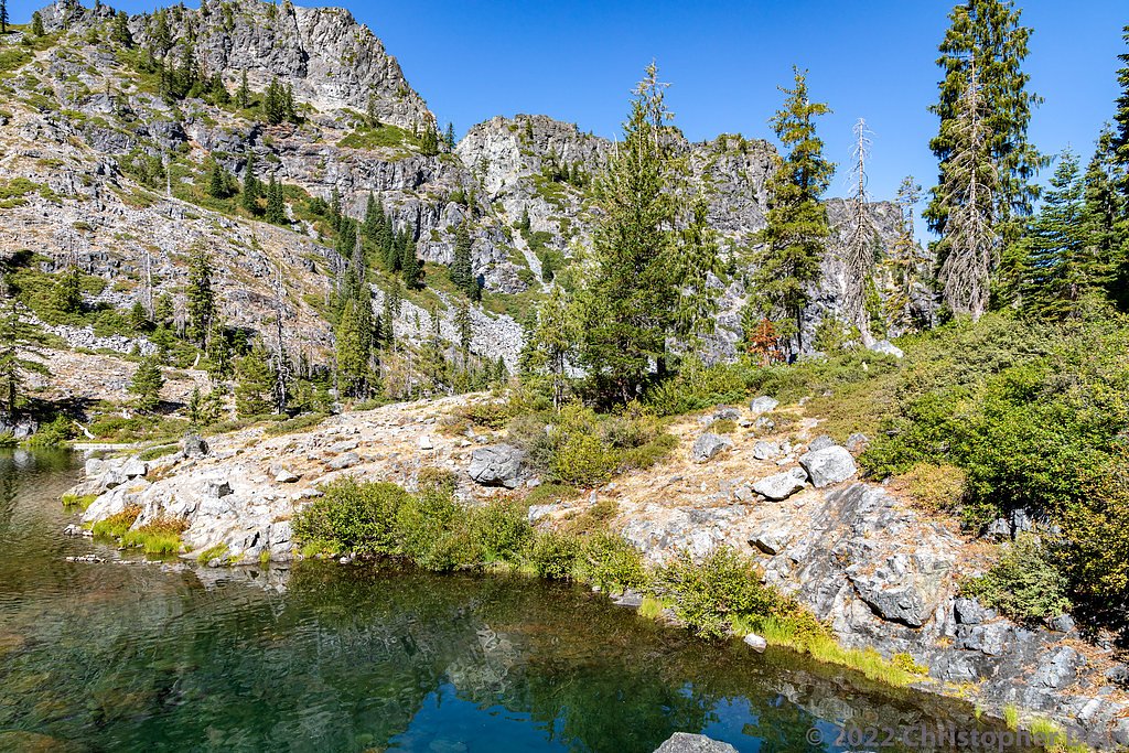
Photo Credits (5)
Difficulty
Moderate
Trail Length
2.5 miles
Trail Type
Out And Back
Elevation Gain
400 ft
About Wilderness Falls
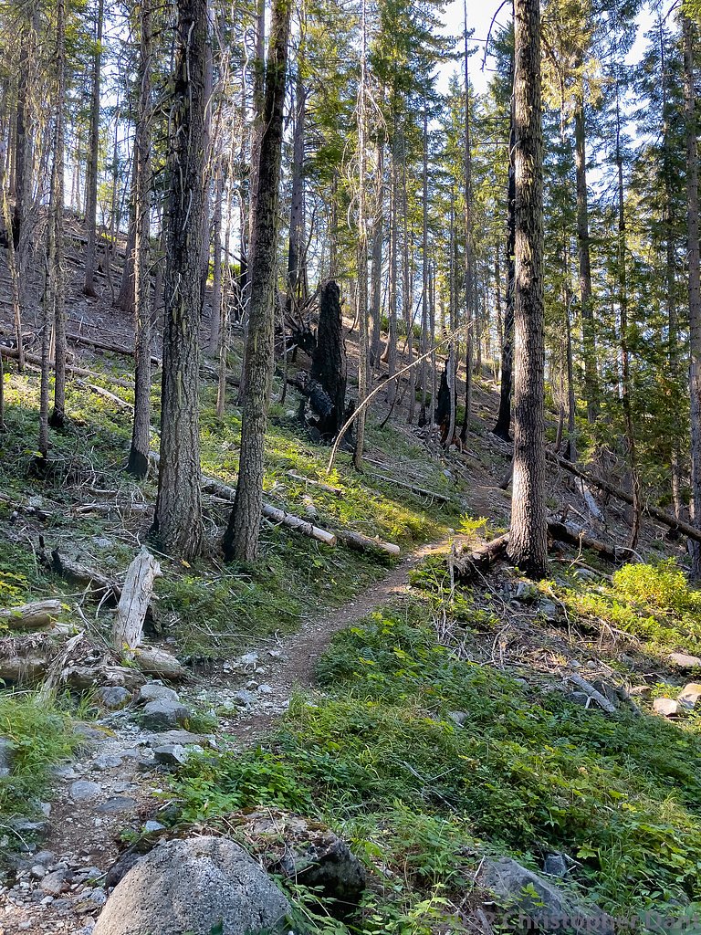
Wilderness Falls sits in the quiet, forested reaches of Klamath National Forest and is managed by the U.S. Forest Service. The falls are reached via the Clear Creek corridor (USFS Trail #5223), where a short, pleasant hike delivers you to a mossy plunge pool and a canopy of mixed conifers. Hikers praise the spot for its peaceful vibe and photogenic cascade — an inviting reward after a moderate walk through native-woodland scenery. Because the site is on USFS land, the route retains a natural, backcountry feel: expect native-surface tread and classic forest sounds rather than developed picnic facilities. If you want to extend the outing into an overnight trip, camping is available nearby at the Bear Basin Lookout and Cabin, roughly 9.53 km away, making Wilderness Falls a great choice for a day hike with an easy overnight option in the forest.
The Setting
Wilderness Falls sits at 2,625 feet within Klamath National Forest, in the hills of California.
Trail & Hike Details
The Approach
The moderate hike follows Clear Creek (#5223), a 2.5-mile out-and-back trail over natural surface. Expect 400 feet of elevation gain with grades of 12-20%. The trail is developed (Class 3).
USFS Trail
CLEAR CREEK #5223
Trail Class
Developed
Surface
Avg Grade
USFS Segment
22.00 miTrail Description
Follow Clear Creek (USFS Trail #5223) for an out-and-back hike of about 2.5 miles round trip with roughly 400 feet of elevation gain. The trail is rated moderate and is classified as Class 3 by the Forest Service; the tread is native material (NAT), unpaved, and typically runs at grades between 12–20%, so you’ll encounter sustained uphill pitches and some steeper sections. Expect a mostly natural singletrack with roots and rock typical of forest trails; the trail type is out-and-back and the difficulty reflects the combination of distance, gain, and native-surface footing.
What to Expect
Visitors can expect a tranquil waterfall surrounded by lush greenery. The flow of the falls may vary depending on the season, with spring and early summer offering the most robust water flow.
Accessibility
The trail is not wheelchair accessible. Uneven terrain and elevation changes require steady footing.
Frequently Asked Questions
🐶 Are Dogs Allowed at Wilderness Falls?
❌ Dogs are not allowed
Are There Any Fees or Permits Required?
🆖 No fees required
🏊 Is There Swimming at Wilderness Falls?
❌ Swimming is not allowed
When to Visit
Spring and early summer are the best times to visit Wilderness Falls, as the water flow is typically at its peak during these seasons.
Seasonal Access
The best time to visit is Spring, Summer, and Fall. Winter access may be limited. Check with Klamath National Forest for seasonal road closures.
Safety Information
Visitors should be cautious of slippery rocks near the falls and avoid venturing too close to the edge. Check weather conditions before visiting, as rain can make the trail more hazardous.
Current Water Conditions
71 ft³/s
Current discharge — how much water is flowing
Much lower than usual for this time of year
Based on 69 years of record
3.54 ft
Water depth at gauge
7-Day Discharge Trend
What does this mean for your visit?
Flow is well below normal for this time of year, so the waterfall may be a trickle.
About This Gauge
This gauge is on a nearby waterway and may not reflect exact conditions at the falls.
7-Day Flow Outlook
Based on the USGS gauge INDIAN C NR HAPPY CAMP CA (21 km away).
Today
Strong
76 cfs
8/10Tomorrow
Roaring
76 cfs
6/10Sun
Strong
69 cfs
10/10Mon
Strong
67 cfs
10/10Tue
Strong
65 cfs
10/10Wed
Strong
63 cfs
10/10Thu
Strong
61 cfs
10/10Best window: Sun — strong flow, sunny (trip score 10/10).
Best time of year: this gauge typically runs highest from early March to late April, peaking in March.
How we calculate this
This is a transparent outlook, not a precise forecast. We take the waterfall's current flow strength (how it ranks against its historical normal for today, from the nearest USGS stream gauge), carry that ranking forward along the gauge's seasonal curve, and nudge it for forecast rain. Confidence is highest for the next day or two and falls further out. Always check official conditions and your own judgment before visiting — high flows can be dangerous.
Know when to go.
Get a free email alert when waterfalls near Happy Camp hit peak flow. We only send when conditions are worth the trip — no weekly newsletters, no spam.
Weather Forecast
Location & Access
Getting There
Wilderness Falls is located within a forested area in California. Access typically involves driving to a nearby trailhead, followed by a hike to the falls. Exact directions may vary depending on the starting point.
Get Directions on Google MapsParking
Parking is available at the trailhead, but spaces may be limited during peak seasons. Visitors are advised to arrive early to secure a spot.
Elevation
2,625 feet above sea level
Coordinates
41.790077° N, -123.627966° W
Land Management
Managed by USFS
Visitor Tips & Gear
Wear sturdy hiking shoes and bring plenty of water, especially during warmer months. Arrive early to avoid crowds and secure parking. Check trail conditions before visiting, as weather can impact accessibility.
As an Amazon Associate, we earn from qualifying purchases.
With 2.5 miles and 400 ft of elevation gain, sturdy boots and trekking poles will help on this moderate trail. Sun exposure on the trail makes good sun protection a must in summer.

Polarized Sunglasses (Knockaround)
Cuts glare off the water so you actually see the falls — and your photos turn out better too.

Columbia Watertight II Rain Jacket
Packs into its own pocket, seam-sealed, and keeps you dry from spray and surprise rain.

Earth Pak Waterproof Dry Bag
Keeps your phone and gear dry when waterfall mist soaks everything else.

Waterproof Phone Pouch (AiRunTech)
Cheap insurance — take photos right next to the falls without killing your phone.

Timberland Euro Sprint Mid Waterproof
Trusted waterproof boot with premium leather and grippy rubber sole — reliable on rocky, wet trails.

TrailBuddy Trekking Poles
Lightweight aluminum, cork grips, and flip-locks that actually hold — a best-seller for good reason.
Where to Stay

Surfside Glamping camper

Holiday Inn Express Klamath - Redwood Ntl Pk Area by IHG

Bigfoot RV & Cabins Park

Hiouchi Motel
Browse vacation cabins and private rentals nearby
Unique outdoor stays — tents, yurts, and treehouses
Rent a campervan or RV for your waterfall road trip
Some links are affiliate links. We may earn a commission at no extra cost to you.
Nearby Campground
BEAR BASIN LOOKOUT AND CABIN
5.9 miles away · 1 sites
Overview On a high, narrow mountain ridge at 5,280 feet, Bear Basin Lookout and Pierson Cabin offer visitors an awe-inspiring experience and a quiet haven away from crowds. Excellent views of the Siskiyou Wilderness to the east and the Pacific Ocean to the west are why visitors love staying in the heart of the Six Rivers National Forest of northern California. The current lookout building was previously situated at Camp Six, where it was used to spot forest fires. That structure was moved from Ca
Book on Recreation.govNearby Hot Springs
Hot springs near Happy Camp, California
Sulphur Springs
Sulphur Springs flows at a impressive 84°F in Siskiyou County's temperate forest, reaching 29.5 degrees above the cool ambient ...
Jackson Hot Springs
Jackson Hot Springs registers 95°F with highly alkaline chemistry, posting pH 9.3 in sodium-dominated waters containing 95 mg/L...
Looking for a soak after your hike? Explore more hot springs near Happy Camp, California on SoakingSprings.
Explore California springsAdditional Information
Nearby Attractions
Nearby attractions may include other hiking trails, picnic areas, and scenic viewpoints within the same park or forest.
Wildlife
The area is home to a variety of wildlife, including birds, deer, and small mammals. Visitors should be mindful of their surroundings and avoid feeding animals.
Cities near Wilderness Falls
Other waterfalls named Wilderness Falls
1 other waterfall shares this name across the U.S.
Writing about Wilderness Falls? Embed this waterfall on your site for free.