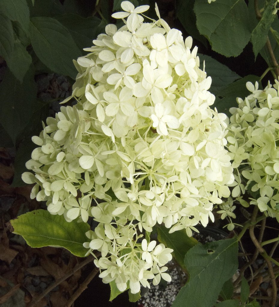
White Falls
By Armen Suny · Last verified Jun 2026
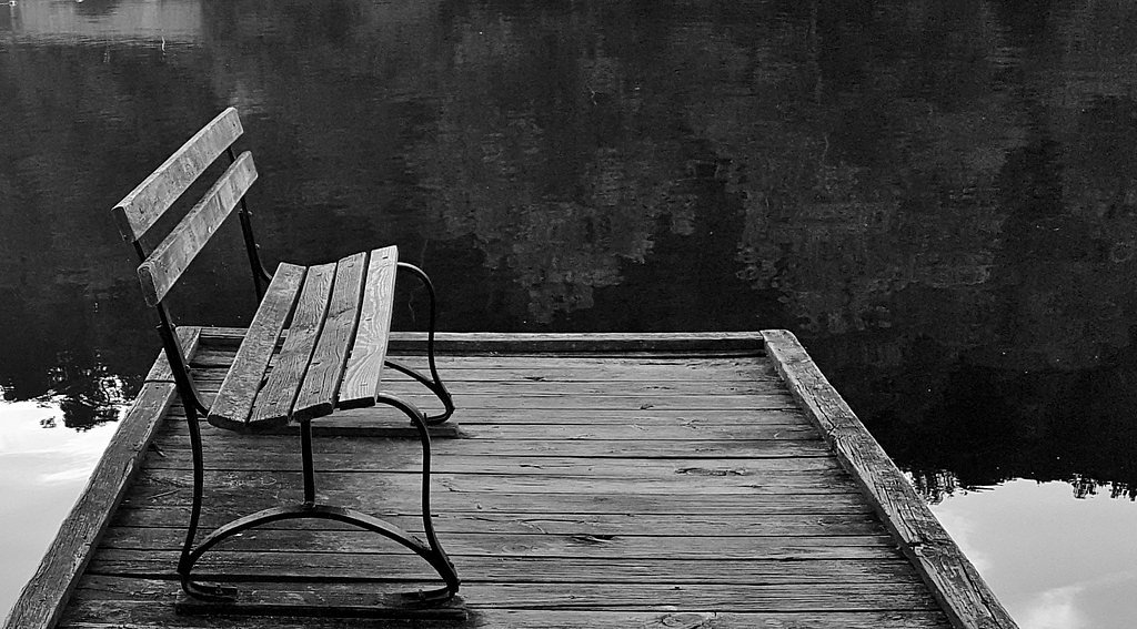
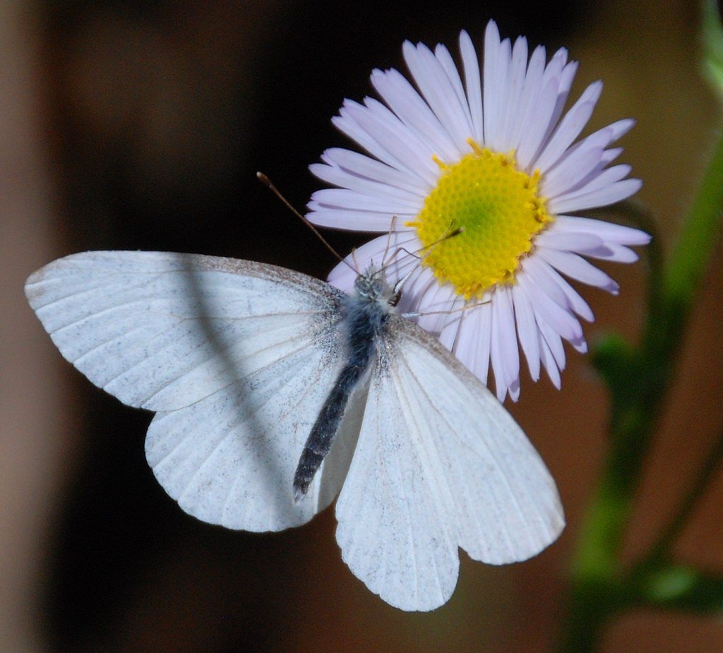
Photo Credits (4)
Difficulty
Moderate
Trail Length
2.4 miles
Trail Type
Out And Back
Elevation Gain
350 ft
About White Falls
White Falls is a picturesque cascade tucked into Virginia’s forested landscape, offering a peaceful reward for a relatively short hike. The falls sit amid mature woodland, making the setting feel secluded and scenic — perfect for photographers, birdwatchers, or anyone wanting a quick nature escape. The most common approach is a moderate out-and-back that gains about 350 feet, so the payoff of the tumbling water feels well-earned without requiring a full-day commitment. Hiking to White Falls typically follows a 2.4-mile route (out-and-back), and the trail’s moderate grade makes it a popular choice for weekend daytrippers. If you’d like to turn the visit into an overnight trip, Jamison Mill Campground is the nearest managed camping option at roughly 7.46 km away, providing a convenient basecamp for exploring the area.
The Setting
White Falls sits at 1,010 feet along the Smith River, in the foothills of Virginia.
Trail & Hike Details
The Approach
The moderate 2.4-mile out-and-back trail gains 350 feet of elevation on the way to the falls.
Trail Description
Trail type: out-and-back. Distance: 2.4 miles (round trip as reported). Elevation gain: approximately 350 feet. Difficulty: moderate. The route is a short, steady climb through forested terrain to the falls and is well suited to hikers comfortable with moderate grades and some uneven footing. No USFS trail number, formal surface/grade classification, or other USFS trail data were provided in the supplied information.
What to Expect
Visitors can expect a peaceful natural setting with a waterfall surrounded by forested landscapes. The area may have uneven terrain and limited facilities.
Accessibility
The trail is not wheelchair accessible. Uneven terrain and elevation changes require steady footing.
Frequently Asked Questions
🐶 Are Dogs Allowed at White Falls?
❌ Dogs are not allowed
Are There Any Fees or Permits Required?
🆖 No fees required
🏊 Is There Swimming at White Falls?
❌ Swimming is not allowed
When to Visit
Spring and fall are typically the best times to visit, as the weather is mild and the waterfall flow is likely to be stronger due to seasonal rainfall.
Seasonal Access
The best time to visit is Spring, Summer, and Fall. Winter access may be limited.
Safety Information
Visitors should be cautious of slippery rocks near the waterfall and uneven terrain on the trail. Check weather conditions before visiting, as rain can make trails hazardous.
Current Water Conditions
5 ft³/s
Current discharge — how much water is flowing
Much lower than usual for this time of year
Based on 31 years of record
2.00 ft
Water depth at gauge
7-Day Discharge Trend
What does this mean for your visit?
Flow is well below normal for this time of year, so the waterfall may be a trickle.
About This Gauge
This gauge is on a nearby waterway and may not reflect exact conditions at the falls.
7-Day Flow Outlook
Based on the USGS gauge SMITH RIVER AT SMITH RIV CHURCH NR WOOLWINE, VA (11 km away).
Today
Low
7 cfs
3/10Tomorrow
Moderate
7 cfs
4/10Sun
Moderate
7 cfs
4/10Mon
Moderate
7 cfs
4/10Tue
Low
6 cfs
6/10Wed
Barely Flowing
5 cfs
5/10Thu
Low
6 cfs
3/10Best window: Tue — low flow, sunny (trip score 6/10).
Best time of year: this gauge typically runs highest from mid April to early May, peaking in April.
How we calculate this
This is a transparent outlook, not a precise forecast. We take the waterfall's current flow strength (how it ranks against its historical normal for today, from the nearest USGS stream gauge), carry that ranking forward along the gauge's seasonal curve, and nudge it for forecast rain. Confidence is highest for the next day or two and falls further out. Always check official conditions and your own judgment before visiting — high flows can be dangerous.
Know when to go.
Get a free email alert when waterfalls near Ferrum hit peak flow. We only send when conditions are worth the trip — no weekly newsletters, no spam.
Weather Forecast
Location & Access
Getting There
The exact location and directions to White Falls are not well-documented. Visitors are advised to consult local hiking guides or maps for accurate directions.
Get Directions on Google MapsParking
Parking availability is unclear. Visitors should check with local resources or plan for limited parking options near trailheads.
Elevation
1,010 feet above sea level
Coordinates
36.837868° N, -80.147467° W
Visitor Tips & Gear
Wear sturdy footwear and bring plenty of water. Check local conditions before visiting, as trail access may vary seasonally.
As an Amazon Associate, we earn from qualifying purchases.
With 2.4 miles and 350 ft of elevation gain, sturdy boots and trekking poles will help on this moderate trail. Sun exposure on the trail makes good sun protection a must in summer.

Polarized Sunglasses (Knockaround)
Cuts glare off the water so you actually see the falls — and your photos turn out better too.

Columbia Watertight II Rain Jacket
Packs into its own pocket, seam-sealed, and keeps you dry from spray and surprise rain.

Earth Pak Waterproof Dry Bag
Keeps your phone and gear dry when waterfall mist soaks everything else.

Waterproof Phone Pouch (AiRunTech)
Cheap insurance — take photos right next to the falls without killing your phone.

Timberland Euro Sprint Mid Waterproof
Trusted waterproof boot with premium leather and grippy rubber sole — reliable on rocky, wet trails.

TrailBuddy Trekking Poles
Lightweight aluminum, cork grips, and flip-locks that actually hold — a best-seller for good reason.
Where to Stay

Serene Cabin Less Than 1 Mi to Fairy Stone State Park!

Giggling Creek Cottage - BedJet! King Sized! Gazebo, 45 Acres, Arcades, Nintendo, more

Travelodge by Wyndham Ridgeway Martinsville Area

Gorgeous Log Cabin - Wineries, Dan River, Hiking
Browse vacation cabins and private rentals nearby
Unique outdoor stays — tents, yurts, and treehouses
Rent a campervan or RV for your waterfall road trip
Some links are affiliate links. We may earn a commission at no extra cost to you.
Nearby Campground
Jamison Mill
4.6 miles away · 0 sites
This recreation area is part of Philpott Lake
Book on Recreation.govNearby Hot Springs
Hot springs near Ferrum, Virginia

New River White Sulphur Springs
New River White Sulphur Springs produces 85-degree water that flows 30.3 degrees above ambient temperature at 1,780 feet elevat...
Alum Springs
Alum Springs flows at 72°F in Pulaski County, Virginia, emerging 18.4 degrees above the 53.6°F ambient temperature at 1,967 fee...
Looking for a soak after your hike? Explore more hot springs near Ferrum, Virginia on SoakingSprings.
Explore Virginia springsAdditional Information
Nearby Attractions
Other natural attractions in Virginia, such as hiking trails and state parks, may be located nearby.
Wildlife
The area may be home to typical Virginia wildlife, including birds, deer, and small mammals. Visitors should be cautious of ticks and other insects.
Cities near White Falls
Other waterfalls named White Falls
2 other waterfalls share this name across the U.S.
Writing about White Falls? Embed this waterfall on your site for free.