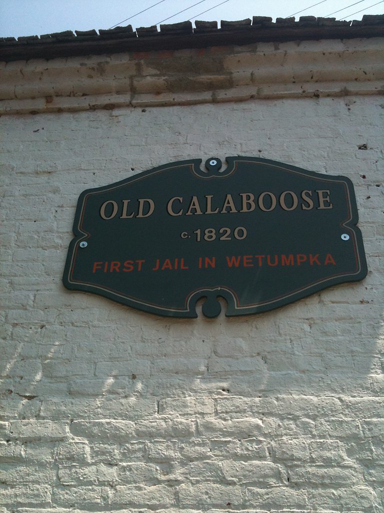
Wetumpka Falls
By Armen Suny · Last verified Mar 2026
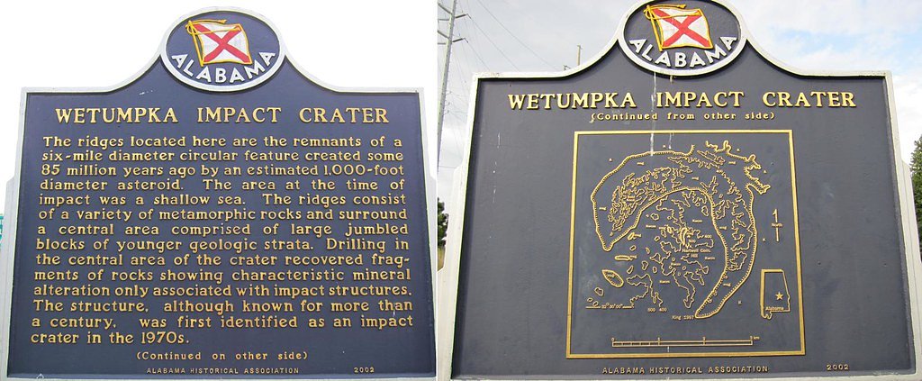
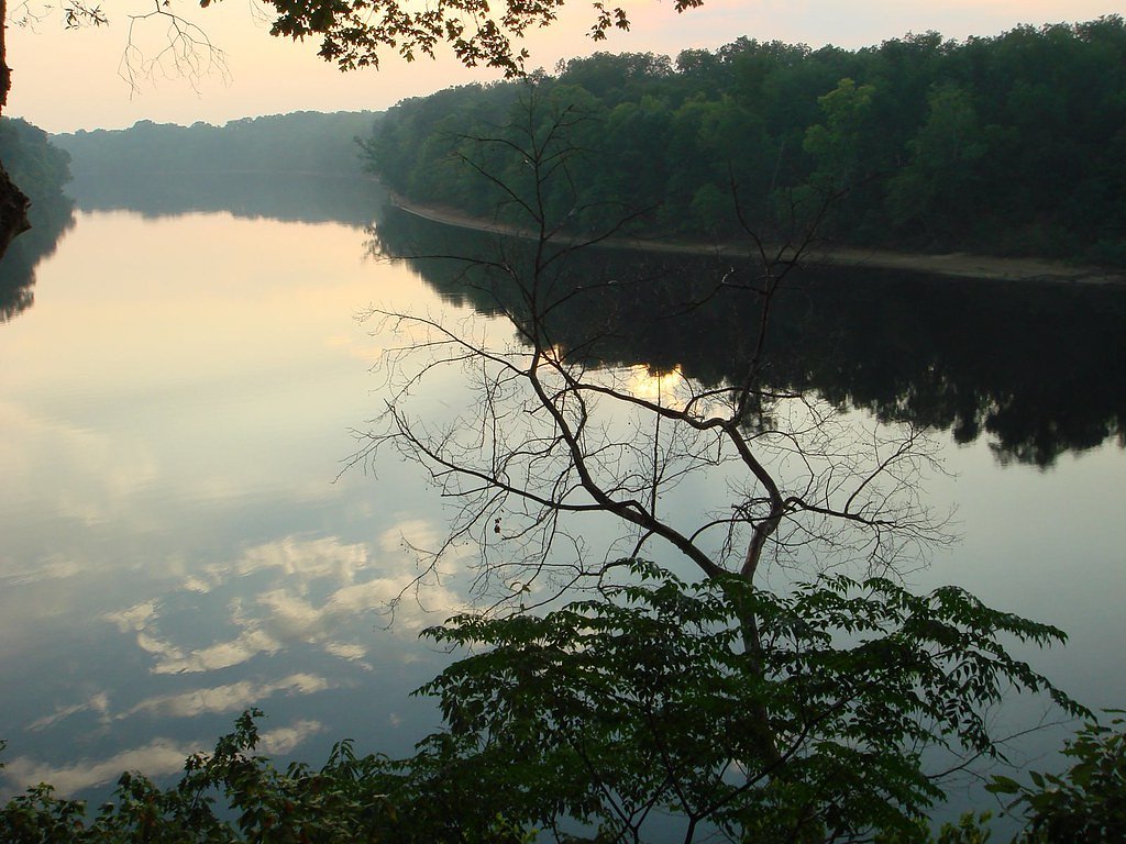
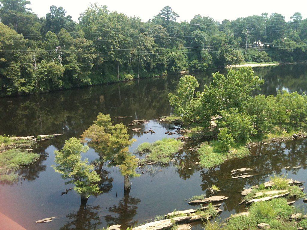

Photo Credits (5)
Difficulty
Moderate
Trail Length
2.4 miles
Trail Type
Out And Back
Elevation Gain
350 ft
About Wetumpka Falls
Wetumpka Falls is a small, scenic cascade tucked near the town of Wetumpka, offering a peaceful stop for hikers and photographers who appreciate quieter natural settings. The falls sit within the Coosa River's lower watershed; the Coosa is a roughly 280-mile (450 km) tributary that begins at the confluence of the Oostanaula and Etowah rivers in Rome, Georgia, and joins the Tallapoosa to form the Alabama River just south of Wetumpka. Around 90% of the Coosa's length lies in Alabama, so this waterfall is part of a river system with deep regional significance. Access is straightforward for hikers comfortable with moderate terrain: the approach to Wetumpka Falls is an approximately 2.4-mile out-and-back route with about 350 feet of elevation gain and is generally rated moderate. Official trail surface, grade, and a USFS trail number are not documented in the provided data, so come prepared for unpaved, natural tread and variable footing. If you plan to camp, Fort Toulouse campground is nearby — about 6.98 km from the falls — making an overnight trip a convenient option.
The Setting
Wetumpka Falls sits at 128 feet along the Coosa River, in the coastal lowlands of Alabama.
Trail & Hike Details
The Approach
The moderate 2.4-mile out-and-back trail gains 350 feet of elevation on the way to the falls.
Trail Description
Length: 2.4 miles (out-and-back). Elevation gain: ~350 feet. Difficulty: Moderate. Trail type: Out-and-back. Official trail surface, grade, and USFS trail number are not specified in the provided data; the route is described as a natural, unpaved hiking approach rather than a formally developed paved path. Hikers should wear sturdy footwear and be prepared for uneven terrain and limited trail infrastructure.
What to Expect
Visitors can expect a quiet and natural setting with a small waterfall surrounded by greenery. The area may be less developed, so amenities like restrooms or picnic areas are unlikely to be available.
Accessibility
The trail is not wheelchair accessible. Uneven terrain and elevation changes require steady footing.
Frequently Asked Questions
🐶 Are Dogs Allowed at Wetumpka Falls?
❌ Dogs are not allowed
Are There Any Fees or Permits Required?
🆖 No fees required
🏊 Is There Swimming at Wetumpka Falls?
❌ Swimming is not allowed
When to Visit
Spring and early summer may be the best times to visit, as water flow is typically higher during these seasons.
Seasonal Access
The best time to visit is Spring, Summer, Fall, and Winter.
Safety Information
Visitors should exercise caution around the water and on potentially slippery rocks. Be aware of changing weather conditions and avoid visiting during heavy rain or flooding.
Current Water Conditions
2,200 ft³/s
Current discharge — how much water is flowing
Much lower than usual for this time of year
14.31 ft
Water depth at gauge
7-Day Discharge Trend
What does this mean for your visit?
Flow is well below normal for this time of year, so the waterfall may be a trickle.
About This Gauge
7-Day Flow Outlook
Based on the USGS gauge COOSA RIVER AT HWY 14 NEAR WETUMPKA, AL (1 km away).
Today
Moderate
2850 cfs
4/10Tomorrow
Moderate
3025 cfs
4/10Thu
Low
2675 cfs
6/10Fri
Low
2500 cfs
6/10Sat
Moderate
2850 cfs
4/10Sun
Moderate
3025 cfs
4/10Mon
Moderate
3025 cfs
4/10Best window: Thu — low flow, sunny (trip score 6/10).
How we calculate this
This is a transparent outlook, not a precise forecast. We take the waterfall's current flow strength (how it ranks against its historical normal for today, from the nearest USGS stream gauge), carry that ranking forward along the gauge's seasonal curve, and nudge it for forecast rain. Confidence is highest for the next day or two and falls further out. Always check official conditions and your own judgment before visiting — high flows can be dangerous.
Know when to go.
Get a free email alert when waterfalls near Wetumpka hit peak flow. We only send when conditions are worth the trip — no weekly newsletters, no spam.
Weather Forecast
Location & Access
Getting There
Wetumpka Falls is located near the city of Wetumpka, Alabama. The exact location may require local guidance or GPS navigation to access, as it is not a major tourist destination.
Get Directions on Google MapsParking
Parking availability is unclear, but visitors may need to park along nearby roads or in designated areas if available.
Elevation
128 feet above sea level
Coordinates
32.546523° N, -86.199135° W
Visitor Tips & Gear
Bring sturdy footwear and be prepared for uneven terrain. Check local conditions before visiting, as access may vary depending on weather or seasonal changes.
As an Amazon Associate, we earn from qualifying purchases.
With 2.4 miles and 350 ft of elevation gain, sturdy boots and trekking poles will help on this moderate trail. Icy conditions are common in winter — traction cleats are a smart addition.

Columbia Watertight II Rain Jacket
Packs into its own pocket, seam-sealed, and keeps you dry from spray and surprise rain.

Polarized Sunglasses (Knockaround)
Cuts glare off the water so you actually see the falls — and your photos turn out better too.

Earth Pak Waterproof Dry Bag
Keeps your phone and gear dry when waterfall mist soaks everything else.

Waterproof Phone Pouch (AiRunTech)
Cheap insurance — take photos right next to the falls without killing your phone.

Timberland Euro Sprint Mid Waterproof
Trusted waterproof boot with premium leather and grippy rubber sole — reliable on rocky, wet trails.

TrailBuddy Trekking Poles
Lightweight aluminum, cork grips, and flip-locks that actually hold — a best-seller for good reason.
Where to Stay

Hampton Inn Wetumpka

Days Inn & Suites by Wyndham Prattville-Montgomery

La Quinta by Wyndham Montgomery

Microtel Inn & Suites by Wyndham Montgomery
Browse vacation cabins and private rentals nearby
Unique outdoor stays — tents, yurts, and treehouses
Rent a campervan or RV for your waterfall road trip
Some links are affiliate links. We may earn a commission at no extra cost to you.
Nearby Campground
Ft. Toulouse
4.3 miles away · 0 sites
This recreation area is part of Alabama River Lakes
Book on Recreation.govAdditional Information
Nearby Attractions
The city of Wetumpka offers other attractions, including the Wetumpka Impact Crater and local parks.
Wildlife
The area around Wetumpka Falls may feature common Alabama wildlife such as birds, small mammals, and insects.
Cities near Wetumpka Falls
Writing about Wetumpka Falls? Embed this waterfall on your site for free.