Photo Credits (5)
Difficulty
Moderate
Trail Length
2.5 miles
Trail Type
Out And Back
Elevation Gain
500 ft
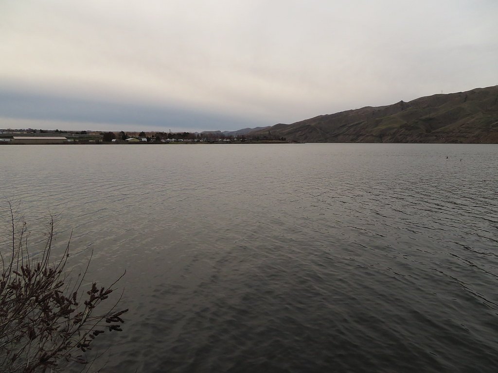
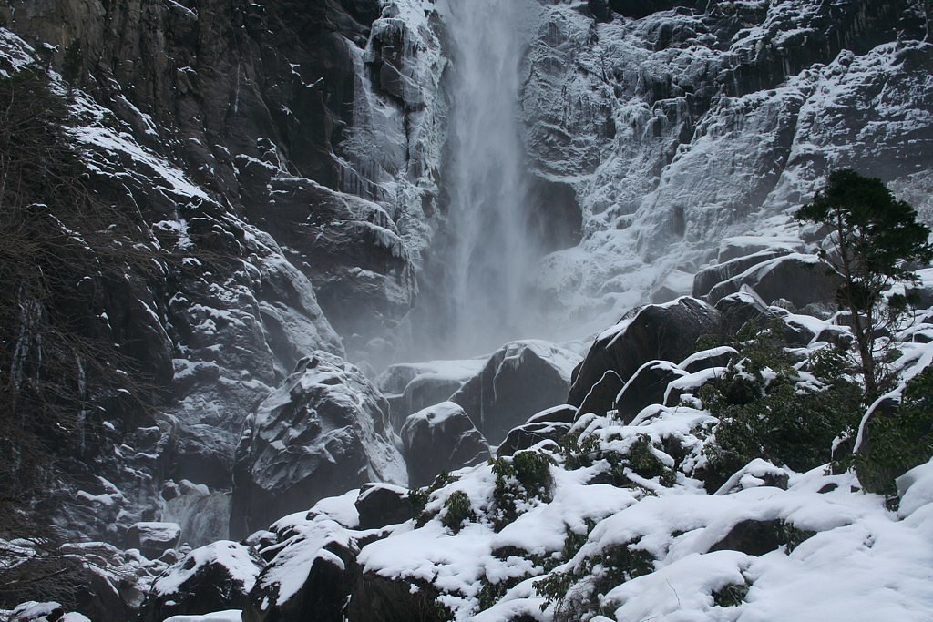
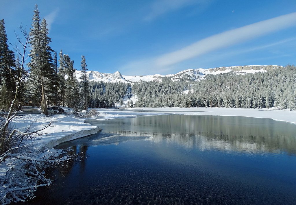
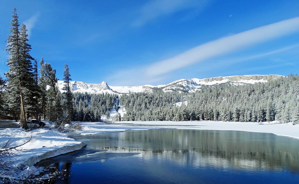
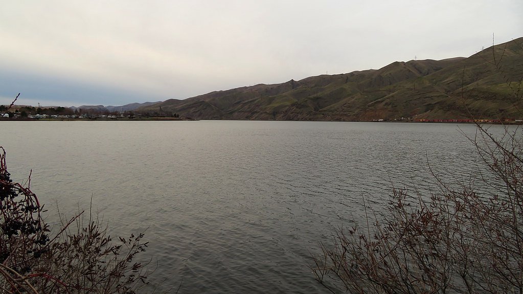
About Water and Ice Falls
Water and Ice Falls is a seasonal cascade tucked into Nevada’s high country, best known for its slender flow in spring and early summer and dramatic ice formations when temperatures drop. The falls sit on SDOL land within Beaver Dam State Park and are managed by SPR, so you'll find a natural, park-managed setting rather than a developed tourist site. Because the flow is driven by snowmelt and local precipitation, visits in late spring after warmer days typically show the falls at their most robust, while winter treks reward hikers with glittering ice sculptures framed by bare rock. The approach is welcoming for fit day-hikers: expect a moderately challenging outing through a mix of shaded, forested stretches and more open, sunlit sections. Trails can be rocky and uneven in places and become slippery in icy conditions, so sturdy footwear and traction devices in winter are wise. The setting is peaceful and scenic, ideal for photographers and hikers who enjoy seasonal rewards and a quieter park experience.
The Setting
Water and Ice Falls sits at 4,902 feet within Beaver Dam State Park, in the mountains of Nevada.
Trail & Hike Details
The Approach
The moderate 2.5-mile out-and-back trail gains 500 feet of elevation on the way to the falls.
Trail Description
Out-and-back route, 2.5 miles round trip with roughly 500 feet of elevation gain. Rated moderate in difficulty, the trail follows a natural dirt tread with rocky, uneven sections and occasional steeper pitches as you gain elevation. Surface conditions can be loose or slick when wet or icy, so wear sturdy boots and be prepared for seasonally variable footing; no technical scrambling is required, but the hike demands steady footing and moderate fitness.
What to Expect
Dogs are welcome.
Accessibility
The trail is not wheelchair accessible. Uneven terrain and elevation changes require steady footing.
Frequently Asked Questions
🐶 Are Dogs Allowed at Water and Ice Falls?
✅ Dogs are allowed
Are There Any Fees or Permits Required?
🆖 No fees required
🏊 Is There Swimming at Water and Ice Falls?
❌ Swimming is not allowed
When to Visit
Spring and early summer are the best times to visit for a flowing waterfall, while winter offers the chance to see unique ice formations.
Seasonal Access
The best time to visit is Spring, Summer, Fall, and Winter. Watch for flash flood warnings during monsoon season (July through September).
Safety Information
Be cautious of slippery rocks near the waterfall and icy conditions in winter. Carry plenty of water, as the desert climate can be dehydrating even at higher elevations.
Current Water Conditions
Based on a USGS gauge 27.7 miles away
9.69 ft
Water depth at gauge
About This Gauge
This gauge is on a regional waterway. Conditions at the falls may differ, especially after local rain.
7-Day Flow Outlook
Based on the USGS gauge MEADOW VALLEY WASH NR CALIENTE, NV (45 km away).
Today
Barely Flowing
0 cfs
5/10Tomorrow
Barely Flowing
0 cfs
5/10Sun
Barely Flowing
0 cfs
5/10Mon
Barely Flowing
0 cfs
5/10Tue
Barely Flowing
0 cfs
5/10Wed
Barely Flowing
0 cfs
5/10Thu
Barely Flowing
0 cfs
5/10Best window: Today — barely flowing flow, sunny (trip score 5/10).
Best time of year: this gauge typically runs highest from mid January to mid April, peaking in February.
How we calculate this
This is a transparent outlook, not a precise forecast. We take the waterfall's current flow strength (how it ranks against its historical normal for today, from the nearest USGS stream gauge), carry that ranking forward along the gauge's seasonal curve, and nudge it for forecast rain. Confidence is highest for the next day or two and falls further out. Always check official conditions and your own judgment before visiting — high flows can be dangerous.
Know when to go.
Get a free email alert when waterfalls near Enterprise hit peak flow. We only send when conditions are worth the trip — no weekly newsletters, no spam.
Weather Forecast
Location & Access
Getting There
Water and Ice Falls is located near the Mount Charleston area in the Spring Mountains, approximately 45 minutes northwest of Las Vegas. Access is typically via a trailhead in the Kyle Canyon area.
Get Directions on Google MapsParking
Parking is available at the designated trailhead, but spaces may be limited during peak seasons. Arrive early to secure a spot.
Elevation
4,902 feet above sea level
Coordinates
37.497196° N, -114.064146° W
Land Management
Managed by SPR
Visitor Tips & Gear
Start your hike early in the day to avoid crowds and ensure you have enough daylight for the return trip. Check weather conditions before heading out, as the trail can become icy or muddy depending on the season.
As an Amazon Associate, we earn from qualifying purchases.
With 2.5 miles and 500 ft of elevation gain, sturdy boots and trekking poles will help on this moderate trail. Icy conditions are common in winter — traction cleats are a smart addition.

Columbia Watertight II Rain Jacket
Packs into its own pocket, seam-sealed, and keeps you dry from spray and surprise rain.

Polarized Sunglasses (Knockaround)
Cuts glare off the water so you actually see the falls — and your photos turn out better too.

Earth Pak Waterproof Dry Bag
Keeps your phone and gear dry when waterfall mist soaks everything else.

Waterproof Phone Pouch (AiRunTech)
Cheap insurance — take photos right next to the falls without killing your phone.

Timberland Euro Sprint Mid Waterproof
Trusted waterproof boot with premium leather and grippy rubber sole — reliable on rocky, wet trails.

TrailBuddy Trekking Poles
Lightweight aluminum, cork grips, and flip-locks that actually hold — a best-seller for good reason.
Where to Stay

Shady Motel

Newly Remodeled Home w/ Yard in Downtown Caliente!

Eagle Mountain Ranch

Caliente Home w/ Covered Patio, Mtn Views!
Browse vacation cabins and private rentals nearby
Unique outdoor stays — tents, yurts, and treehouses
Rent a campervan or RV for your waterfall road trip
Some links are affiliate links. We may earn a commission at no extra cost to you.
Nearby Campground
Mathews Canyon Dam
8.9 miles away · 0 sites
This site is an Army Corps of Engineers flood control dam for the railroad. The site contains two shade structures, picnic tables, grills, fire pits, garbage cans, and vault toilets.
Book on Recreation.govNearby Hot Springs
Hot springs near Enterprise, Nevada
Veyo Hot Spring
A 90-degree spring in Washington County flowing at 4,400 feet elevation with moderate mineralization at 334 milligrams per lite...
Irvine Spring
Irvine Spring emerges at 70°F from Dixie National Forest at 5,700 feet elevation, accessible via a 762-meter walk from North Ba...

Caliente Hot Springs
Caliente Hot Springs flows at 118 degrees Fahrenheit in Lincoln County adjacent to the town of Caliente, emerging 60 degrees ab...
Flatnose Ranch Spring
Flatnose Ranch Spring emerges at 77°F on BLM land in Lincoln County at 5,515 feet elevation, managed by the Caliente Field Offi...

Panaca Spring
Panaca Spring flows at 88°F on Bureau of Land Management public land in Lincoln County at 4,768 feet elevation, emerging 32 deg...
Delmues Springs
Delmues Springs flows at 70°F on Bureau of Land Management public lands in Lincoln County, emerging 14.9°F above ambient air te...
Looking for a soak after your hike? Explore more hot springs near Enterprise, Nevada on SoakingSprings.
Explore Nevada springsAdditional Information
Nearby Attractions
Nearby attractions include Mount Charleston, Cathedral Rock, and the Spring Mountains Visitor Gateway.
Wildlife
The area is home to various wildlife, including mule deer, squirrels, and a variety of bird species. Be cautious of snakes during warmer months.
Cities near Water and Ice Falls
Writing about Water and Ice Falls? Embed this waterfall on your site for free.