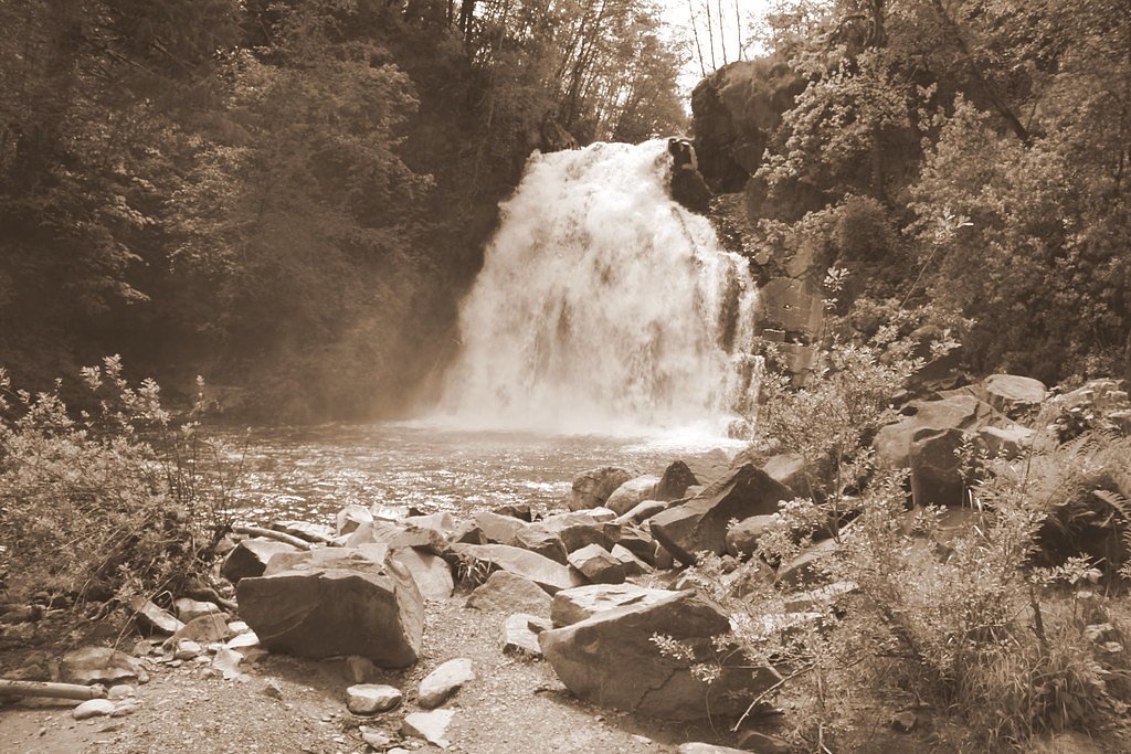
Wallowa Falls
By Armen Suny · Last verified Mar 2026
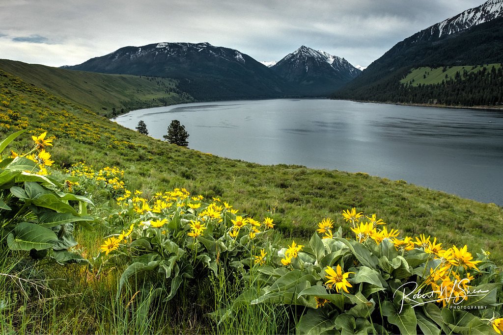
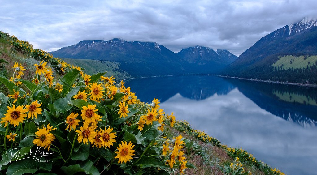
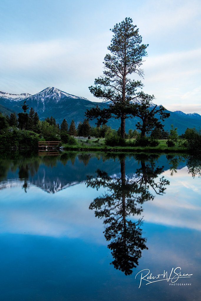
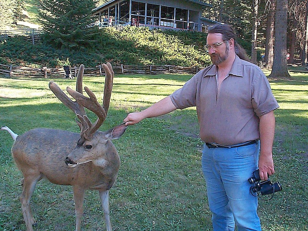
Photo Credits (5)
Difficulty
Easy
Trail Length
1.5 miles
Trail Type
Out And Back
Elevation Gain
200 ft
About Wallowa Falls
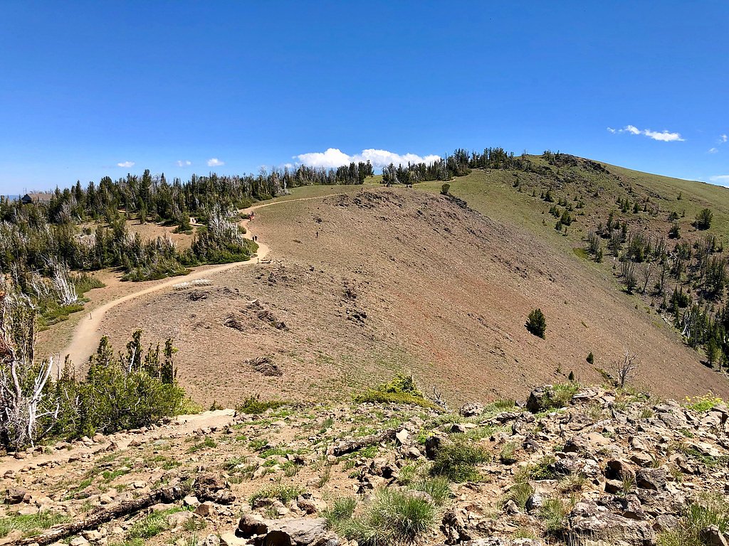
Wallowa Falls tumbles through a quiet forest setting just a short distance from Wallowa Lake in northeastern Oregon, offering a peaceful, picture-perfect stop for hikers and photographers. The falls sit along the West Fork Wallowa River and can be viewed from a compact clearing near a small hydroelectric dam, where the sound of rushing water mixes with the surrounding evergreens for a truly tranquil experience. The approach is short and accessible, making Wallowa Falls a great half-day outing or a quick side trip while exploring the Wallowa Mountains. The route’s easy grade and scenic river views make it appealing to families and casual hikers looking for a scenic reward without a long trek.
The Setting
Wallowa Falls sits at 4,682 feet along the East Fork Wallowa River, in the mountains of Oregon.
Trail & Hike Details
The Approach
The easy 1.5-mile out-and-back trail gains 200 feet of elevation on the way to the falls.
Trail Description
This is a short, easy out-and-back trail of about 1.5 miles round trip with roughly 200 feet of elevation gain. The path follows the West Fork Wallowa River on a well-maintained dirt tread with a gentle grade, suitable for most hikers and families. Expect a straightforward route with clear footing that leads to the viewpoint near the falls and the small hydroelectric structure visible from the trail.
What to Expect
Dogs are welcome.
Accessibility
The trail is not wheelchair accessible. Uneven terrain and elevation changes require steady footing.
Frequently Asked Questions
🐶 Are Dogs Allowed at Wallowa Falls?
✅ Dogs are allowed
Are There Any Fees or Permits Required?
🤑 Fee: $5.00
🏊 Is There Swimming at Wallowa Falls?
❌ Swimming is not allowed
When to Visit
Spring and early summer are ideal times to visit, as the waterfall flow is typically stronger due to snowmelt. Fall offers beautiful foliage, while winter may bring snow-covered scenery.
Seasonal Access
The best time to visit is Spring, Summer, and Fall. Winter access may be limited.
Safety Information
Be cautious near the hydroelectric dam and avoid venturing too close to the water. Watch for slippery rocks near the falls, especially after rain or snow.
Current Water Conditions
14 ft³/s
Current discharge — how much water is flowing
Much lower than usual for this time of year
Based on 52 years of record
4.78 ft
Water depth at gauge
55°F
ColdBracing — limit time in water
7-Day Discharge Trend
What does this mean for your visit?
Flow is well below normal for this time of year, so the waterfall may be a trickle. Water temperature is a bracing 55 degrees F, limit your time in the water.
About This Gauge
7-Day Flow Outlook
Based on the USGS gauge EAST FORK WALLOWA RIVER NEAR JOSEPH, OR (1 km away).
Today
Barely Flowing
14 cfs
4/10Tomorrow
Low
16 cfs
3/10Sun
Low
16 cfs
4/10Mon
Low
16 cfs
4/10Tue
Low
16 cfs
4/10Wed
Low
15 cfs
4/10Thu
Low
16 cfs
4/10Best window: Today — barely flowing flow, cloudy (trip score 4/10).
Best time of year: this gauge typically runs highest from early May to early August, peaking in June.
How we calculate this
This is a transparent outlook, not a precise forecast. We take the waterfall's current flow strength (how it ranks against its historical normal for today, from the nearest USGS stream gauge), carry that ranking forward along the gauge's seasonal curve, and nudge it for forecast rain. Confidence is highest for the next day or two and falls further out. Always check official conditions and your own judgment before visiting — high flows can be dangerous.
Know when to go.
Get a free email alert when waterfalls near Wallowa Lake hit peak flow. We only send when conditions are worth the trip — no weekly newsletters, no spam.
Weather Forecast
Location & Access
Getting There
Wallowa Falls is located near the town of Joseph, Oregon, at the southern end of Wallowa Lake. Visitors can access the falls via the Wallowa Lake Trailhead, which is a short drive from the town.
Get Directions on Google MapsParking
Parking is available near the Wallowa Lake Trailhead. During peak seasons, parking may be limited, so arriving early is recommended.
Elevation
4,682 feet above sea level
Coordinates
45.267784° N, -117.216113° W
Visitor Tips & Gear
Arrive early during summer months to secure parking. Bring water and wear comfortable hiking shoes. Be cautious near the hydroelectric dam and stay on marked trails for safety.
As an Amazon Associate, we earn from qualifying purchases.
This easy 1.5 miles hike is straightforward — comfortable trail shoes and plenty of water should do. Sun exposure on the trail makes good sun protection a must in summer.

Polarized Sunglasses (Knockaround)
Cuts glare off the water so you actually see the falls — and your photos turn out better too.

Columbia Watertight II Rain Jacket
Packs into its own pocket, seam-sealed, and keeps you dry from spray and surprise rain.

Earth Pak Waterproof Dry Bag
Keeps your phone and gear dry when waterfall mist soaks everything else.

Waterproof Phone Pouch (AiRunTech)
Cheap insurance — take photos right next to the falls without killing your phone.

JOBY GorillaPod Starter Kit
Wraps around railings and rocks for long-exposure waterfall shots — no flat surface needed.

Osprey Daylite Daypack
Light, organized, and just the right size for a day hike — fits water, snacks, and layers.
Where to Stay

Eagle Cap Chalets

Prairie Creek Condo

Serendipity Cottage

The Loft Downtown
Browse vacation cabins and private rentals nearby
Unique outdoor stays — tents, yurts, and treehouses
Rent a campervan or RV for your waterfall road trip
Some links are affiliate links. We may earn a commission at no extra cost to you.
Nearby Campground
Wallowa Mtns/Eagle Cap Area
7.9 miles away · 0 sites
The Wallowa Mountains/Eagle Cap Area is located in the center of the Wallowa Mountains west of Enterprise, east of LaGrande, Oregon, and north of Halfway, Oregon. This area includes developed recreation sites and trails for the Eagle Cap Wilderness, the Pine area of the Whitman Ranger District and the east side of the La Grande Ranger District.Popular recreation areas include the Eagle Cap Wilderness, Lostine River Canyon, Hurricane Creek, Reds Horse Ranch, the Lakes Basin, Wallowa Lake Tram, Mo
Book on Recreation.govNearby Hot Springs
Hot springs near Wallowa Lake, Oregon

Warm Spring
Warm Spring flows at 85°F at 2,953 feet in Union County near the town of Union, creating a 36.7-degree differential above ambie...
Medical Hot Springs
Medical Hot Springs emerges at 140°F in Union County's forested mountains, requiring a 289-meter walk from Medical Springs High...
Union Station Hot Springs
Union Station Hot Springs emerges near the town of Union in the Grande Ronde Valley at 2,728 feet elevation, 44 meters from Hot...

Hot Lake Springs
Hot Lake Springs emerges at 176°F in Union County near the town of Union, creating one of Oregon's hottest thermal features 44 ...
Kropp Hot Spring
Kropp Hot Spring emerges at 109°F, flowing 61 degrees above ambient at 3,227 feet elevation in Union County's Blue Mountains. T...

Boulder Creek Spring
Boulder Creek Spring delivers 82-degree Fahrenheit water just 52 feet from Boulder Creek Road near McCall, with an exceptionall...
Looking for a soak after your hike? Explore more hot springs near Wallowa Lake, Oregon on SoakingSprings.
Explore Oregon springsAdditional Information
Nearby Attractions
Wallowa Lake, Eagle Cap Wilderness, and the town of Joseph, Oregon, which features art galleries and local shops.
Wildlife
The area is home to deer, birds, and other forest wildlife. Visitors may also spot fish in the river.
Cities near Wallowa Falls
Nearby Waterfalls
Writing about Wallowa Falls? Embed this waterfall on your site for free.