Upper Jump
Utah • Canyonlands National Park
By Armen Suny · Last verified May 2026
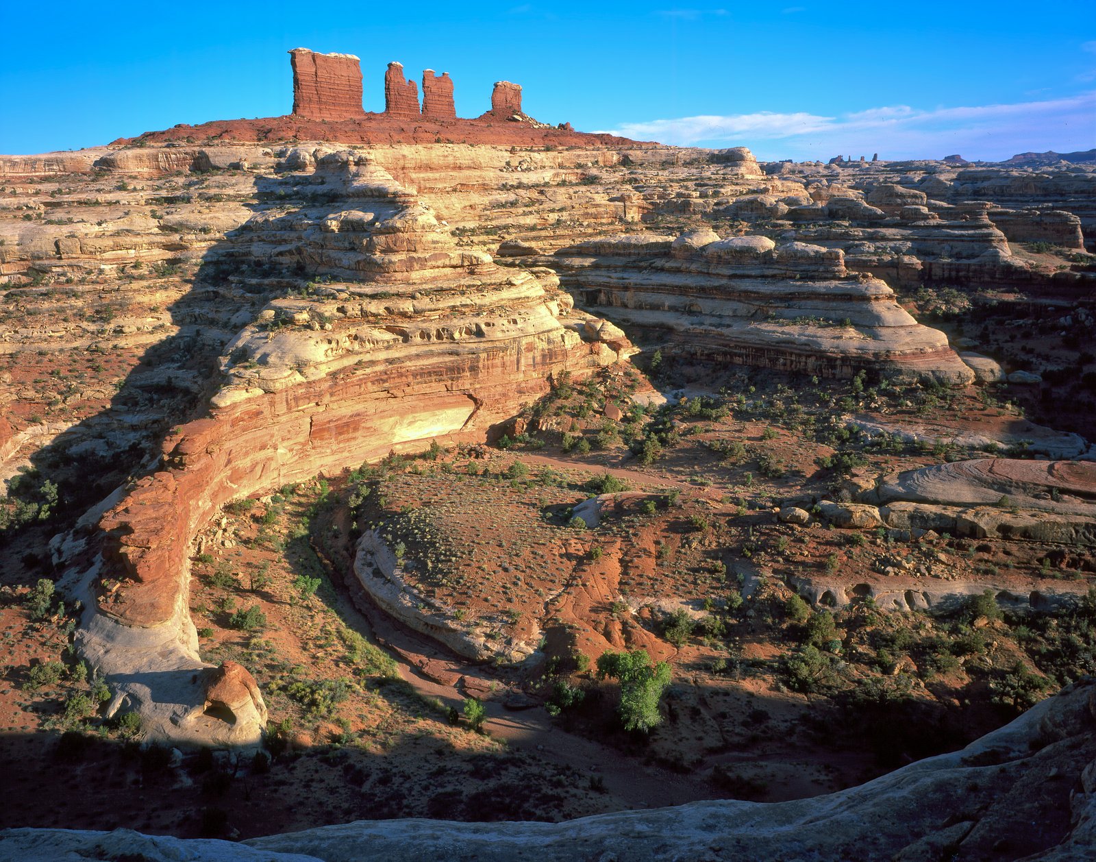
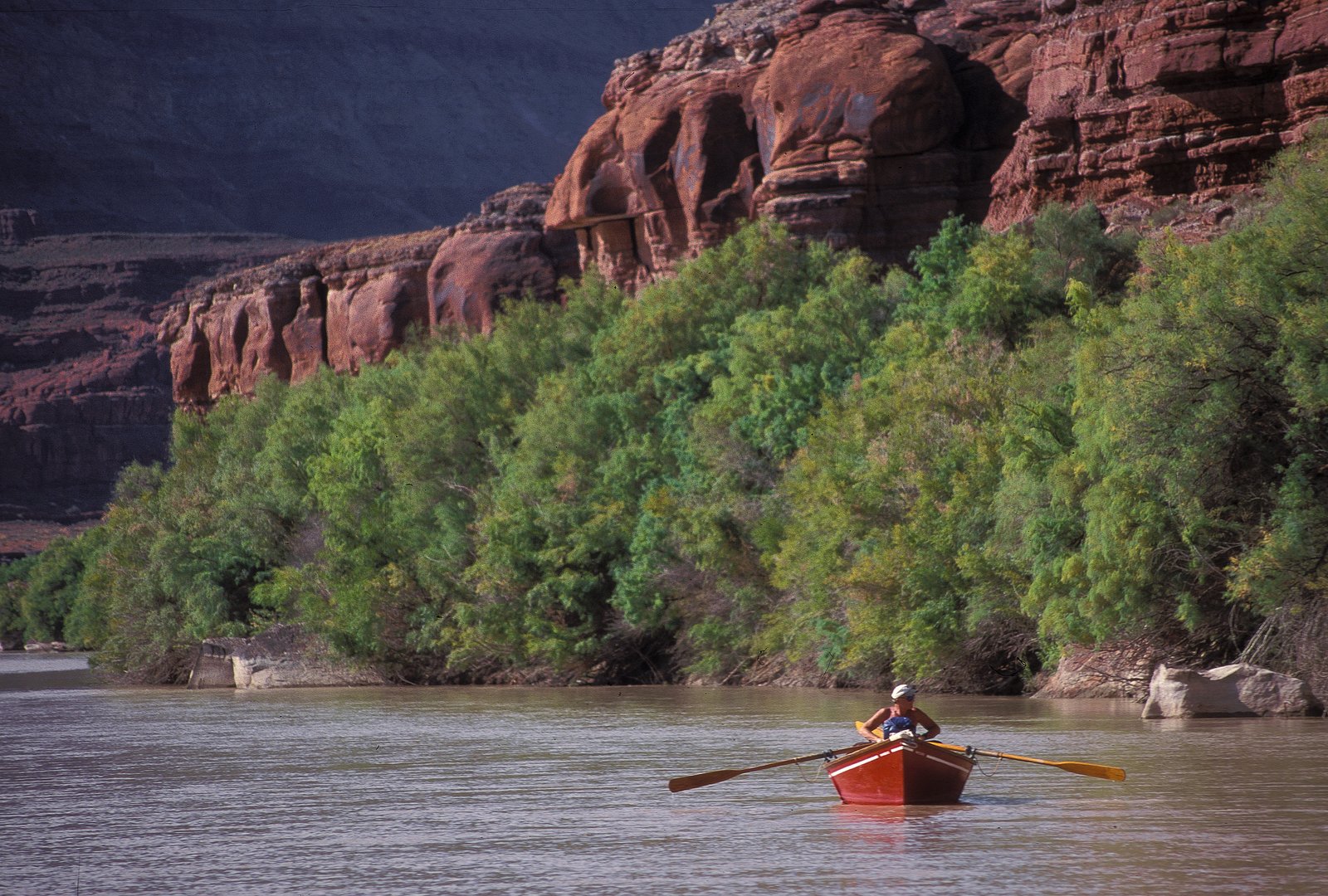

Photo Credits (3)
Difficulty
Moderate
Trail Length
2.4 miles
Trail Type
Out And Back
Elevation Gain
350 ft
About Upper Jump
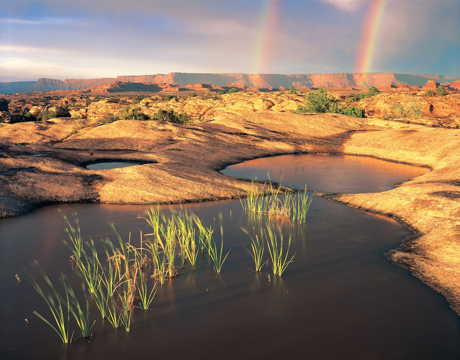
Upper Jump is a quietly scenic cascade tucked inside Canyonlands National Park in southeastern Utah, managed by the National Park Service. Set against the park’s dramatic backdrop of eroded buttes, mesas and canyons carved by the Colorado and Green Rivers, the fall offers a peaceful destination away from the park’s busier overlooks. Canyonlands, established in 1964, preserves this colorful desert landscape—making a short visit to Upper Jump a nice contrast of water and sandstone in an otherwise arid setting. The approach to Upper Jump is a moderately paced outing rather than a roadside attraction: the commonly recorded route is a 2.4-mile out-and-back with roughly 350 feet of elevation gain. The hike is rated moderate and tends to be less promoted by the park, so expect a low-key experience that rewards hikers who come prepared with water, sun protection and basic navigation. As this site lies within Canyonlands NP and is managed by the NPS, consult park resources before you go for access updates and seasonal considerations.
The Setting
Upper Jump sits at 5,620 feet within Canyonlands National Park, fed by the Colorado River, in the high mountains of Utah.
Trail & Hike Details
The Approach
The moderate 2.4-mile out-and-back trail gains 350 feet of elevation on the way to the falls.
Trail Description
Trail type: out-and-back; length: 2.4 miles (recorded); elevation gain: approximately 350 feet; difficulty: moderate. Managing agency/land unit: National Park Service — Canyonlands National Park. The park’s published data for this approach lists distance, gain and difficulty but does not include a formal trail surface, grade or technical class for the route. Because official surface/grade/class information is not documented, hikers should be prepared for minimal maintained infrastructure and potential routefinding; bring a map/GPS, adequate water, and footwear suitable for uneven natural tread. Check Canyonlands National Park information before heading out for current conditions and access notes.
What to Expect
Expect a remote and tranquil setting with natural beauty. The waterfall may vary in flow depending on the season, with spring and early summer likely offering the most impressive views.
Accessibility
The trail is not wheelchair accessible. Uneven terrain and elevation changes require steady footing.
Frequently Asked Questions
🐶 Are Dogs Allowed at Upper Jump?
❌ Dogs are not allowed
Are There Any Fees or Permits Required?
🆖 No fees required
🏊 Is There Swimming at Upper Jump?
❌ Swimming is not allowed
When to Visit
Spring and early summer are likely the best times to visit, as the waterfall may have a stronger flow due to snowmelt.
Seasonal Access
The best time to visit is Spring, Summer, and Fall. Access roads and trails may close during winter due to snow. Watch for flash flood warnings during monsoon season (July through September). Check with Canyonlands National Park for current conditions.
Safety Information
Visitors should be cautious of slippery rocks, uneven terrain, and potential flash floods during rainy seasons. Always inform someone of your plans before heading out.
Current Water Conditions
Based on a USGS gauge 17 miles away
3,990 ft³/s
Current discharge — how much water is flowing
Much lower than usual for this time of year
Based on 2 years of record
26.43 ft
Water depth at gauge
76°F
ComfortablePleasant for swimming
7-Day Discharge Trend
What does this mean for your visit?
Flow is well below normal for this time of year, so the waterfall may be a trickle. The water is a comfortable 76 degrees F, pleasant for swimming. Mineral content is elevated.
Water Quality
Conductance
Dissolved minerals in the water
About This Gauge
This gauge is on a regional waterway. Conditions at the falls may differ, especially after local rain.
7-Day Flow Outlook
Based on the USGS gauge COLORADO RIVER AT GYPSUM CANYON NEAR HITE, UT (27 km away).
Today
Barely Flowing
3990 cfs
5/10Tomorrow
Barely Flowing
3850 cfs
5/10Mon
Barely Flowing
3653 cfs
5/10Tue
Barely Flowing
6041 cfs
5/10Wed
Barely Flowing
6378 cfs
5/10Thu
Barely Flowing
6041 cfs
5/10Fri
Barely Flowing
5648 cfs
5/10Best window: Today — barely flowing flow, sunny (trip score 5/10).
Best time of year: this gauge typically runs highest from mid April to mid July, peaking in June.
How we calculate this
This is a transparent outlook, not a precise forecast. We take the waterfall's current flow strength (how it ranks against its historical normal for today, from the nearest USGS stream gauge), carry that ranking forward along the gauge's seasonal curve, and nudge it for forecast rain. Confidence is highest for the next day or two and falls further out. Always check official conditions and your own judgment before visiting — high flows can be dangerous.
Know when to go.
Get a free email alert when waterfalls near Monticello hit peak flow. We only send when conditions are worth the trip — no weekly newsletters, no spam.
Weather Forecast
Location & Access
Getting There
The exact location of Upper Jump is not widely documented. Visitors are advised to consult local hiking guides or maps for directions. It may require navigating unmarked trails or backcountry routes.
Get Directions on Google MapsParking
Parking availability is unclear. Visitors should prepare for limited or no designated parking areas near the trailhead.
Elevation
5,620 feet above sea level
Coordinates
38.041655° N, -109.764569° W
Land Management
Managed by NPS
Visitor Tips & Gear
Bring a detailed map or GPS device, as the trail may not be well-marked. Wear sturdy hiking shoes and prepare for varying terrain. Check weather conditions before visiting.
This trail sits at 5,620 ft above sea level
Elevated TrailUV radiation is roughly 22% stronger at this elevation than at sea level, and the dry air accelerates dehydration. Extra sun protection and fluids go a long way.
As an Amazon Associate, we earn from qualifying purchases.

Coppertone Sport SPF 50 Sunscreen
UV intensity jumps ~4% per 1,000 ft — at this elevation you can burn in half the time.

Sun Bum SPF 30 Lip Balm (3-Pack)
Lips have almost no natural UV protection and burn fast in thin, dry mountain air.

Liquid I.V. Electrolyte Packets
You lose moisture ~2x faster at elevation — electrolytes help you absorb water efficiently.

ROCKNIGHT Polarized UV400 Sunglasses
High-altitude glare off rock and water is intense — UV400 lenses block 99%+ of UVA/UVB.
As an Amazon Associate, we earn from qualifying purchases.
With 2.4 miles and 350 ft of elevation gain, sturdy boots and trekking poles will help on this moderate trail. Sun exposure on the trail makes good sun protection a must in summer.
America the Beautiful Annual Pass
Covers entrance fees at 2,000+ federal recreation sites — required at most National Parks.

Polarized Sunglasses (Knockaround)
Cuts glare off the water so you actually see the falls — and your photos turn out better too.

Columbia Watertight II Rain Jacket
Packs into its own pocket, seam-sealed, and keeps you dry from spray and surprise rain.

Earth Pak Waterproof Dry Bag
Keeps your phone and gear dry when waterfall mist soaks everything else.

Waterproof Phone Pouch (AiRunTech)
Cheap insurance — take photos right next to the falls without killing your phone.

Timberland Euro Sprint Mid Waterproof
Trusted waterproof boot with premium leather and grippy rubber sole — reliable on rocky, wet trails.

TrailBuddy Trekking Poles
Lightweight aluminum, cork grips, and flip-locks that actually hold — a best-seller for good reason.
Where to Stay

Cozy Glamping Pod for a Nature Escape in Monticello, Utah

Abajo Lodge

Canyon Rim Domes - A Luxury Glamping Experience!!

Canyonlands Motor Inn
Browse vacation cabins and private rentals nearby
Unique outdoor stays — tents, yurts, and treehouses
Rent a campervan or RV for your waterfall road trip
Some links are affiliate links. We may earn a commission at no extra cost to you.
Nearby Campground
Canyonlands National Park Needles District Campground
8.8 miles away · 26 sites
Overview The Needles is a remote district located within the southern portion of Canyonlands National Park in southeastern Utah. The Needles District is 1.25 hours driving time from Monticello, Utah, and 1.5 hours from Moab, Utah, and sits at an elevation of approximately 4,900 feet (1494 m). The Needles Campground offers limited services and is best suited to tents and small, self-contained campers and RVs. If you are looking for group campsites, visit the Needles District Group Campground page
Book on Recreation.govNearby Hot Springs
Hot springs near Monticello, Utah
Looking for a soak after your hike? Explore more hot springs near Monticello, Utah on SoakingSprings.
Explore Utah springsAdditional Information
Nearby Attractions
Other natural attractions in Utah, such as Zion National Park or Bryce Canyon, may be worth exploring.
Wildlife
The area may host a variety of wildlife, including birds, deer, and small mammals. Be cautious of potential encounters with snakes or other wildlife.
Cities near Upper Jump
Writing about Upper Jump? Embed this waterfall on your site for free.