Upper Big Timber Falls
By Armen Suny · Last verified Mar 2026
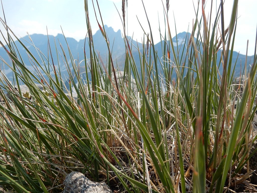
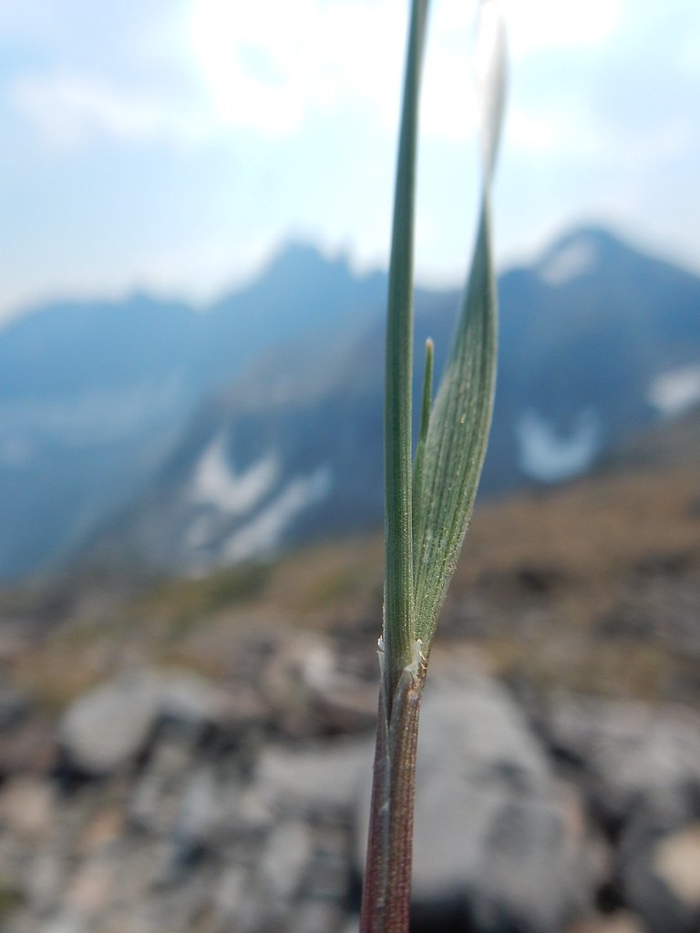
Photo Credits (5)
Difficulty
Moderate
Trail Length
4.5 miles
Trail Type
Out And Back
Elevation Gain
800 ft
About Upper Big Timber Falls
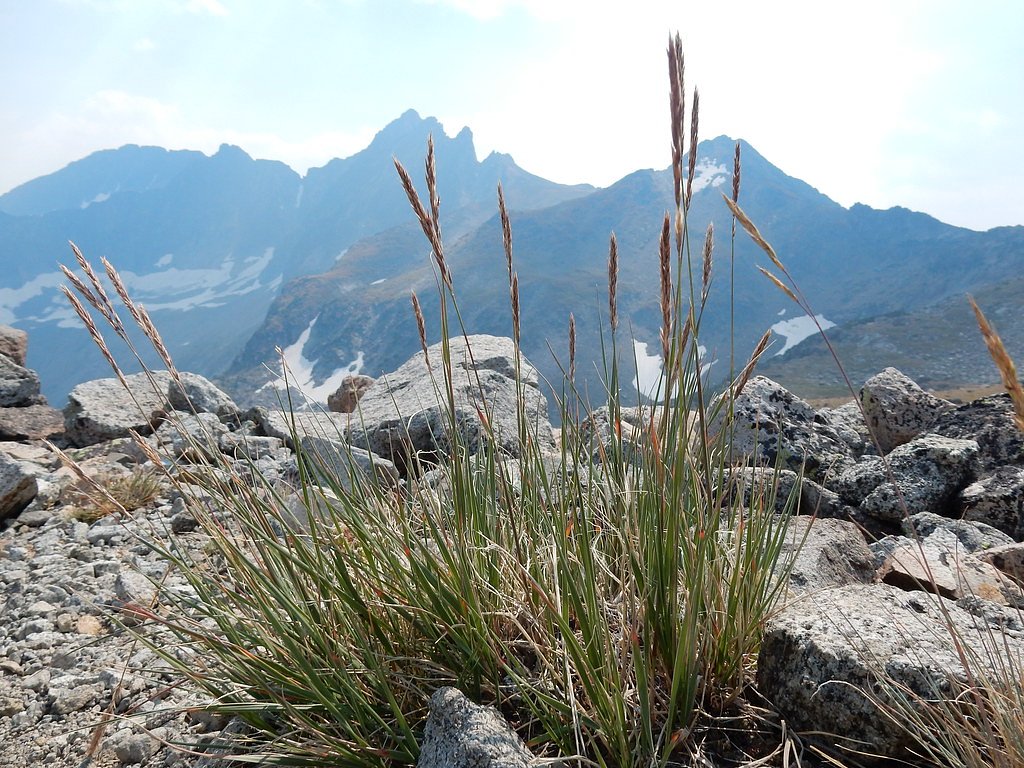
Upper Big Timber Falls sits in the heart of Montana’s Crazy Mountains on lands managed by the U.S. Forest Service, nestled within Gallatin National Forest. The falls are reached via the Big Timber Creek Trail (USFS Trail #119), and the approach rewards hikers with a rugged canyon setting, dense forest, and the steady sound of cascading water. At about 4.5 miles round-trip with roughly 800 feet of elevation gain, this is a moderately challenging day hike that feels remote and restorative rather than crowded. Expect a mix of shaded forest stretches and open canyon views as you near the falls. The trail is popular with hikers who enjoy classic mountain creek scenery, and because the USFS maintains the route you’ll find official trail signage and a clearly defined route — with some rough sections near the cascade. If you want to turn the outing into an overnight trip, Halfmoon Campground is just 0.74 km away and makes a convenient basecamp; always check current Gallatin National Forest notices before heading out.
The Setting
Upper Big Timber Falls sits at 6,690 feet within Gallatin National Forest, fed by the Shields River Bl Sf Shields River, in the high mountains of Montana.
Trail & Hike Details
The Approach
The moderate hike follows Big Timber Creek (#119), a 4.5-mile out-and-back trail over natural surface. Expect 800 feet of elevation gain. The trail is highly developed (Class 4).
USFS Trail
BIG TIMBER CREEK #119
Trail Class
Highly Developed
Surface
USFS Segment
0.23 miTrail Description
The approach follows Big Timber Creek on the USFS Big Timber Creek Trail (Trail #119). According to USFS data the trail surface is native material and the route is rated Class 4 for technical character in places; the USFS GIS mapping shows a 0.23-mile segment for the trail corridor, while the full hike to the falls is about 4.5 miles out-and-back with approximately 800 feet of elevation gain. The tread includes rocky, uneven sections and short steep pitches—especially close to the falls—so expect natural tread, exposed roots, and loose rock. Difficulty is rated moderate; wear sturdy footwear and be prepared for brief scrambling where the trail steepens.
What to Expect
Dogs are welcome.
Accessibility
The trail is not wheelchair accessible. Uneven terrain and elevation changes require steady footing.
Frequently Asked Questions
🐶 Are Dogs Allowed at Upper Big Timber Falls?
✅ Dogs are allowed
Are There Any Fees or Permits Required?
🆖 No fees required
🏊 Is There Swimming at Upper Big Timber Falls?
❌ Swimming is not allowed
When to Visit
The best time to visit is late spring through early fall when the trail is clear of snow and the waterfall is flowing at its peak. Summer offers the most reliable weather conditions.
Seasonal Access
The best time to visit is Spring, Summer, and Fall. Access roads and trails may close during winter due to snow. Check with Gallatin National Forest for seasonal road closures.
Safety Information
Be cautious of slippery rocks near the falls and watch for sudden weather changes. Carry bear spray and know how to use it. Inform someone of your plans before heading out.
Current Water Conditions
62 ft³/s
Current discharge — how much water is flowing
Much lower than usual for this time of year
6.31 ft
Water depth at gauge
53°F
ColdBracing — limit time in water
7-Day Discharge Trend
What does this mean for your visit?
Flow is well below normal for this time of year, so the waterfall may be a trickle. Water temperature is a bracing 53 degrees F, limit your time in the water. Expect crystal clear visibility and excellent dissolved oxygen levels. PH is normal at 8.3 and mineral content is typical.
Water Quality
Dissolved Oxygen
ExcellentSupports aquatic life
pH
NormalWithin healthy range (6.5-8.5)
Water Clarity
Crystal clearExcellent visibility
Conductance
Dissolved minerals in the water
About This Gauge
This gauge is on a nearby waterway and may not reflect exact conditions at the falls.
7-Day Flow Outlook
Based on the USGS gauge Shields River bl SF Shields River nr Wilsall, MT (24 km away).
Today
Low
71 cfs
3/10Tomorrow
Low
75 cfs
3/10Sun
Low
75 cfs
3/10Mon
Low
72 cfs
4/10Tue
Low
73 cfs
3/10Wed
Low
75 cfs
3/10Thu
Low
75 cfs
3/10Best window: Mon — low flow, rain and snow showers (trip score 4/10).
How we calculate this
This is a transparent outlook, not a precise forecast. We take the waterfall's current flow strength (how it ranks against its historical normal for today, from the nearest USGS stream gauge), carry that ranking forward along the gauge's seasonal curve, and nudge it for forecast rain. Confidence is highest for the next day or two and falls further out. Always check official conditions and your own judgment before visiting — high flows can be dangerous.
Know when to go.
Get a free email alert when waterfalls near Springdale hit peak flow. We only send when conditions are worth the trip — no weekly newsletters, no spam.
Weather Forecast
Location & Access
Getting There
Upper Big Timber Falls is accessed via the Big Timber Creek Trailhead, located approximately 12 miles from the town of Big Timber, Montana. The trailhead can be reached by driving along Big Timber Canyon Road, which is a gravel road that may require a high-clearance vehicle depending on conditions.
Get Directions on Google MapsParking
There is a parking area at the Big Timber Creek Trailhead, but it may be limited during peak seasons. Arrive early to secure a spot.
Elevation
6,690 feet above sea level
Coordinates
46.040219° N, -110.247695° W
Land Management
Managed by USFS
Visitor Tips & Gear
Start your hike early to avoid crowds and ensure you have enough time to enjoy the falls. Bring plenty of water, as there are no facilities along the trail. Be prepared for changing weather conditions, as the area can experience sudden shifts in temperature and precipitation.
This trail sits at 6,690 ft above sea level
Elevated TrailUV radiation is roughly 27% stronger at this elevation than at sea level, and the dry air accelerates dehydration. Extra sun protection and fluids go a long way.
As an Amazon Associate, we earn from qualifying purchases.

Coppertone Sport SPF 50 Sunscreen
UV intensity jumps ~4% per 1,000 ft — at this elevation you can burn in half the time.

Sun Bum SPF 30 Lip Balm (3-Pack)
Lips have almost no natural UV protection and burn fast in thin, dry mountain air.

Liquid I.V. Electrolyte Packets
You lose moisture ~2x faster at elevation — electrolytes help you absorb water efficiently.

ROCKNIGHT Polarized UV400 Sunglasses
High-altitude glare off rock and water is intense — UV400 lenses block 99%+ of UVA/UVB.
As an Amazon Associate, we earn from qualifying purchases.
With 4.5 miles and 800 ft of elevation gain, sturdy boots and trekking poles will help on this moderate trail. Sun exposure on the trail makes good sun protection a must in summer.

Polarized Sunglasses (Knockaround)
Cuts glare off the water so you actually see the falls — and your photos turn out better too.

Columbia Watertight II Rain Jacket
Packs into its own pocket, seam-sealed, and keeps you dry from spray and surprise rain.

Earth Pak Waterproof Dry Bag
Keeps your phone and gear dry when waterfall mist soaks everything else.

Waterproof Phone Pouch (AiRunTech)
Cheap insurance — take photos right next to the falls without killing your phone.

Timberland Euro Sprint Mid Waterproof
Trusted waterproof boot with premium leather and grippy rubber sole — reliable on rocky, wet trails.

TrailBuddy Trekking Poles
Lightweight aluminum, cork grips, and flip-locks that actually hold — a best-seller for good reason.
Where to Stay

The Shepherd’s Nook

The Shepherd's Retreat

Camper Adventure

Super 8 by Wyndham Big Timber
Browse vacation cabins and private rentals nearby
Unique outdoor stays — tents, yurts, and treehouses
Rent a campervan or RV for your waterfall road trip
Some links are affiliate links. We may earn a commission at no extra cost to you.
Nearby Campground
Halfmoon Campground
0.5 miles away · 0 sites
A campground in the east crazy mountains on the Yellowstone District. Camp sites: 12Maps: Halfmoon Campground Map (527 KB)Accessible Facilities:Toilet6 SitesTrash Pickup: NoFirewood: NoNo Reservations:This campground does not use a reservation system, it is managed on a first-come, first-served basis. Be aware the campground may fill up on weekends & holidays during the summer months and you should arrive in the early afternoon to ensure there is a space available for the night.Information:Living
Book on Recreation.govNearby Hot Springs
Hot springs near Springdale, Montana
Hunters Hot Springs
Hunters Hot Springs discharges at 140°F in Sweet Grass County, Montana, at 4,386 feet elevation. The water is strongly alkaline...
Anderson Springs
Anderson Springs flows at 77°F in Sweet Grass County, Montana, at 5,540 feet elevation along the East Boulder River drainage. U...
Carter Bridge Warm Springs
Carter Bridge Warm Springs surfaces at 82°F in Park County, Montana, at 4,542 feet elevation. Reaching the spring requires a sh...

Bridger Canyon Warm Spring
Bridger Canyon Warm Spring emerges at 70°F on US Fish and Wildlife Service land within the Bozeman Fish Technology Center in Ga...

White Sulphur Springs
White Sulphur Springs flows at 136 degrees Fahrenheit in the town that bears its name, the county seat of Meagher County, Monta...

Chico Hot Springs
Chico Hot Springs produces 113°F water at 5,336 feet in Park County's Paradise Valley, 30 miles north of Yellowstone National P...
Looking for a soak after your hike? Explore more hot springs near Springdale, Montana on SoakingSprings.
Explore Montana springsAdditional Information
Nearby Attractions
Other attractions in the Crazy Mountains include Big Timber Falls (lower falls) and various hiking trails in the area.
Wildlife
The area is home to wildlife such as deer, elk, and black bears. Be cautious and carry bear spray.
Cities near Upper Big Timber Falls
Writing about Upper Big Timber Falls? Embed this waterfall on your site for free.