Tumwater Falls
By Armen Suny · Last verified Mar 2026
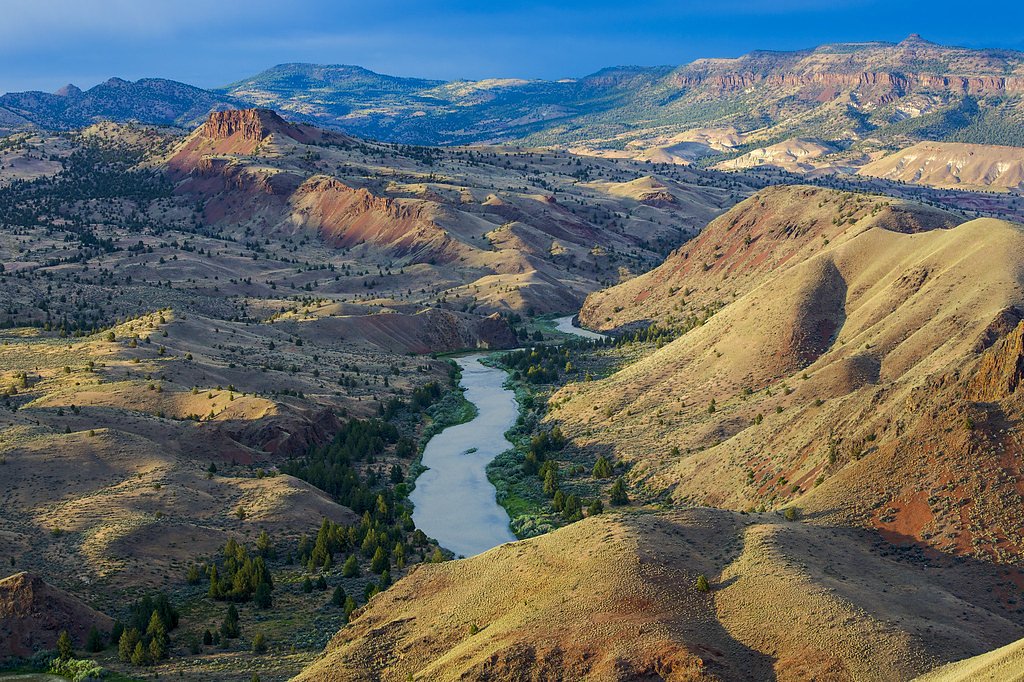
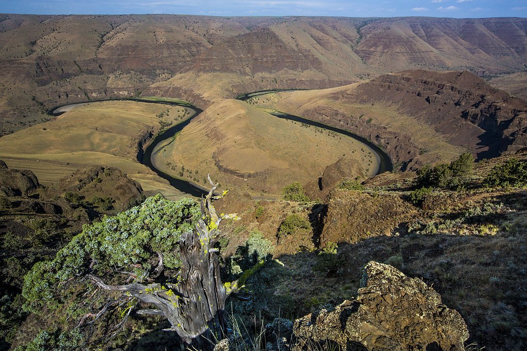
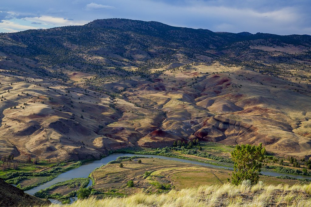
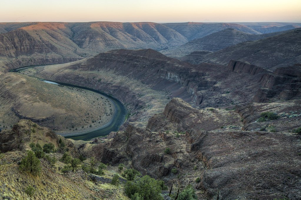
Photo Credits (5)
Difficulty
Moderate
Trail Length
2.4 miles
Trail Type
Out And Back
Elevation Gain
350 ft
About Tumwater Falls
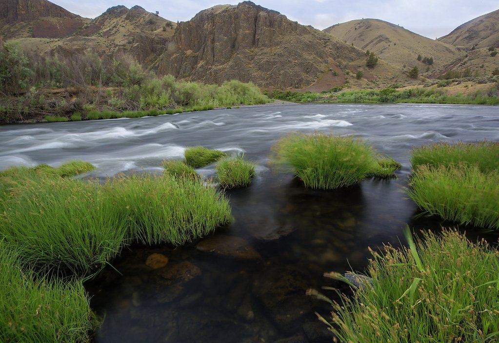
Tumwater Falls sits on the John Day River land unit, a stretch designated as Wild and Scenic River and managed by the Bureau of Land Management (BLM). The falls occupy public land owned by DESG and offer a compact, scenic cascade that serves as a rewarding destination for hikers looking to experience the John Day River corridor. The Wild and Scenic River designation helps protect the river setting, lending the area a sense of quiet conservation and natural character. Access is straightforward but still feels like getting away from it all: a moderate hike leads to viewpoints of the falls and the river channel below. The nearest developed camping at John Day Crossing Historic Site lies just over 10 km from the falls (about 10.02 km), so most visitors treat Tumwater Falls as a day trip when exploring this BLM‑managed river unit.
The Setting
Tumwater Falls sits at 318 feet within John Day River, fed by the John Day River, in the coastal lowlands of Oregon.
Trail & Hike Details
The Approach
The moderate 2.4-mile out-and-back trail gains 350 feet of elevation on the way to the falls.
Trail Description
Trail: 2.4 miles out-and-back with approximately 350 feet of elevation gain. Difficulty: Moderate. The route is an out-and-back hike that climbs to viewpoints overlooking the falls; expect moderate grades associated with the 350-foot climb over the listed distance. No USFS trail number or surface/class data was provided in the available records.
What to Expect
Dogs are welcome.
Accessibility
The trail is not wheelchair accessible. Uneven terrain and elevation changes require steady footing.
Frequently Asked Questions
🐶 Are Dogs Allowed at Tumwater Falls?
✅ Dogs are allowed
Are There Any Fees or Permits Required?
🆖 No fees required
🏊 Is There Swimming at Tumwater Falls?
❌ Swimming is not allowed
When to Visit
Spring and early summer are ideal times to visit when water flow is at its peak, but the falls are beautiful year-round.
Seasonal Access
The best time to visit is Spring, Summer, Fall, and Winter.
Safety Information
Exercise caution near the water as rocks can be slippery. Be aware of changing weather conditions and dress appropriately.
Current Water Conditions
205 ft³/s
Current discharge — how much water is flowing
Much lower than usual for this time of year
Based on 119 years of record
2.16 ft
Water depth at gauge
82°F
WarmVery comfortable
7-Day Discharge Trend
What does this mean for your visit?
Flow is well below normal for this time of year, so the waterfall may be a trickle. The water is warm at 82 degrees F, very comfortable for swimming.
About This Gauge
This gauge is on a nearby waterway and may not reflect exact conditions at the falls.
7-Day Flow Outlook
Based on the USGS gauge JOHN DAY RIVER AT MCDONALD FERRY, OR (11 km away).
Today
Barely Flowing
205 cfs
5/10Tomorrow
Barely Flowing
192 cfs
4/10Fri
Barely Flowing
202 cfs
3/10Sat
Barely Flowing
187 cfs
5/10Sun
Barely Flowing
170 cfs
5/10Mon
Barely Flowing
162 cfs
5/10Tue
Barely Flowing
156 cfs
5/10Best window: Today — barely flowing flow, sunny (trip score 5/10).
Best time of year: this gauge typically runs highest from mid March to mid June, peaking in April.
How we calculate this
This is a transparent outlook, not a precise forecast. We take the waterfall's current flow strength (how it ranks against its historical normal for today, from the nearest USGS stream gauge), carry that ranking forward along the gauge's seasonal curve, and nudge it for forecast rain. Confidence is highest for the next day or two and falls further out. Always check official conditions and your own judgment before visiting — high flows can be dangerous.
Know when to go.
Get a free email alert when waterfalls near Wasco hit peak flow. We only send when conditions are worth the trip — no weekly newsletters, no spam.
Weather Forecast
Location & Access
Getting There
Tumwater Falls is located off Highway 126 in the Willamette National Forest. The falls are accessible via a short drive from the nearby town of McKenzie Bridge, Oregon.
Get Directions on Google MapsParking
There is a small parking area near the trailhead, but availability may be limited during peak seasons.
Elevation
318 feet above sea level
Coordinates
45.658469° N, -120.502750° W
Land Management
Managed by BLM
Visitor Tips & Gear
Visit early in the day to avoid crowds, especially during weekends and holidays. Wear sturdy shoes as the trail may be muddy or slippery, particularly after rain.
As an Amazon Associate, we earn from qualifying purchases.
With 2.4 miles and 350 ft of elevation gain, sturdy boots and trekking poles will help on this moderate trail. Icy conditions are common in winter — traction cleats are a smart addition.

Columbia Watertight II Rain Jacket
Packs into its own pocket, seam-sealed, and keeps you dry from spray and surprise rain.

Polarized Sunglasses (Knockaround)
Cuts glare off the water so you actually see the falls — and your photos turn out better too.

Earth Pak Waterproof Dry Bag
Keeps your phone and gear dry when waterfall mist soaks everything else.

Waterproof Phone Pouch (AiRunTech)
Cheap insurance — take photos right next to the falls without killing your phone.

Timberland Euro Sprint Mid Waterproof
Trusted waterproof boot with premium leather and grippy rubber sole — reliable on rocky, wet trails.

TrailBuddy Trekking Poles
Lightweight aluminum, cork grips, and flip-locks that actually hold — a best-seller for good reason.
Where to Stay

Quality Inn & Suites Goldendale

Ponderosa Motel

Treehouse Ranch

BIGGS NU-VU MOTEL
Browse vacation cabins and private rentals nearby
Unique outdoor stays — tents, yurts, and treehouses
Rent a campervan or RV for your waterfall road trip
Some links are affiliate links. We may earn a commission at no extra cost to you.
Nearby Campground
John Day Crossing Historic Site
6.2 miles away · 0 sites
Situated on the east bank of the lower John Day River, this site marks the location where two branches of the Oregon trail converged to meet at the John Day River crossing. Looking up on the hillside, one can see white markers planted to mark the actual routes as they descend the hillside. Imagine trying to keep wagons and stock from plunging down the hillside, unchecked. Some emigrants who descended one branch of the Oregon Trail here are said to have remarked that the other branch must have bee
Book on Recreation.govNearby Hot Springs
Hot springs near Wasco, Oregon
Klickitat Mineral Springs
Klickitat Mineral Springs produces 81-degree water at just 481 feet elevation on state conservation lands, flowing 27.9 degrees...
Well Spring
Well Spring flows at 80°F at 849 feet in Morrow County near Boardman, creating a 24.7-degree differential above ambient tempera...
Fish Hatchery Warm Spring
Fish Hatchery Warm Spring produces 75-degree water on Yakama Nation Reservation lands, flowing 23.7 degrees above ambient tempe...

Mount Adams Fumaroles
Mount Adams fumaroles reach 150 degrees at 12,269 feet elevation, emerging 136 degrees above ambient on Washington's second-hig...
Looking for a soak after your hike? Explore more hot springs near Wasco, Oregon on SoakingSprings.
Explore Oregon springsAdditional Information
Nearby Attractions
Nearby attractions include Sahalie Falls, Koosah Falls, and the McKenzie River Trail.
Wildlife
The area is home to various wildlife, including birds, deer, and small mammals. Keep an eye out for native flora and fauna.
Cities near Tumwater Falls
Writing about Tumwater Falls? Embed this waterfall on your site for free.