Thirteen Falls
By Armen Suny · Last verified Sep 2026
LiDAR & 3D terrain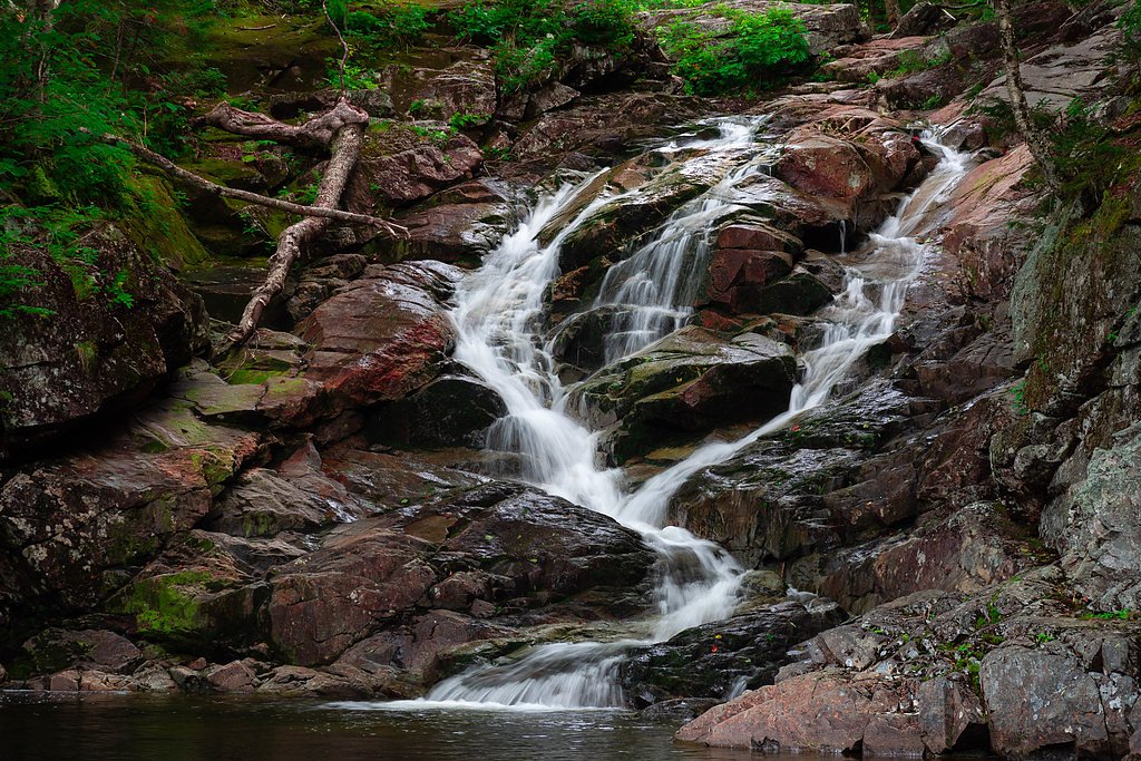
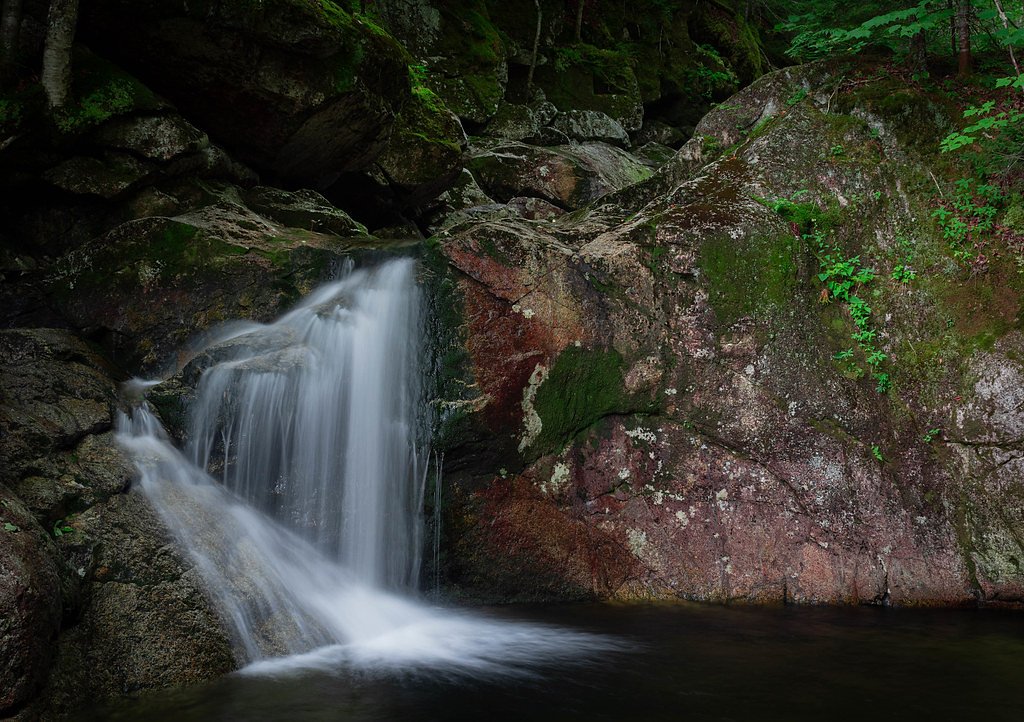
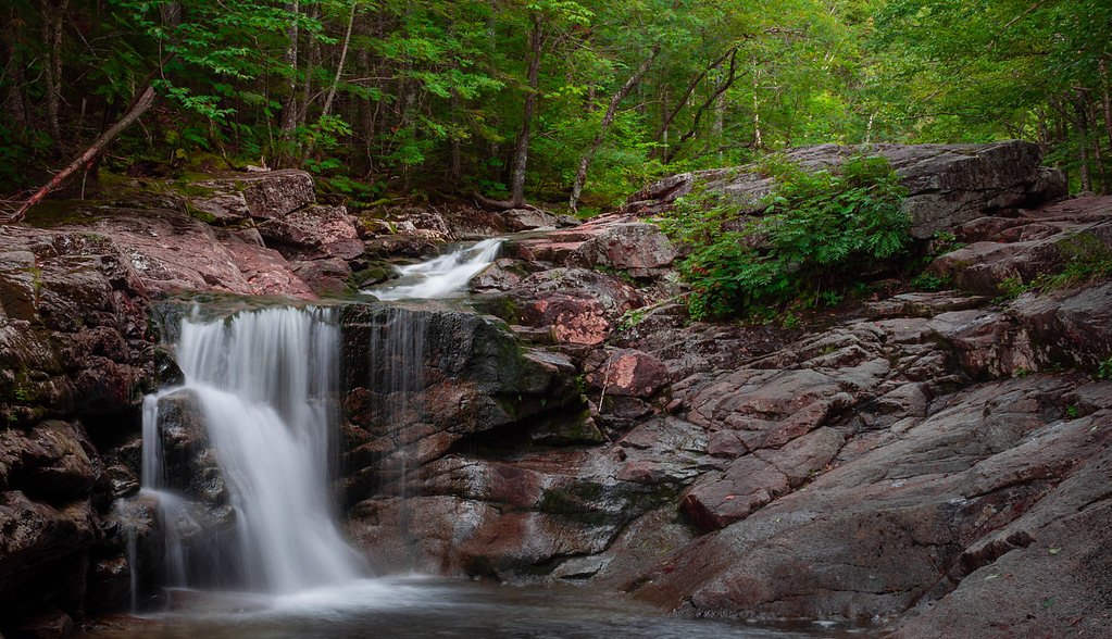
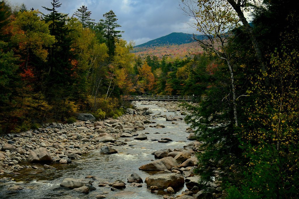
Photo Credits (5)
Difficulty
Hard
Trail Length
8.5 miles
Trail Type
Out And Back
About Thirteen Falls
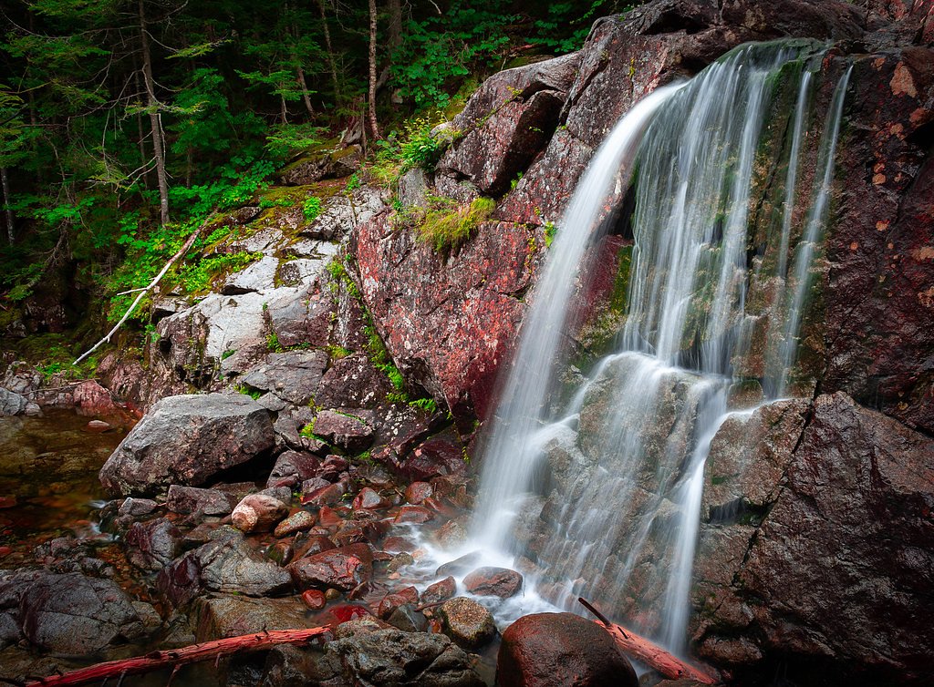
Thirteen Falls is a series of scenic cascades tucked into the Pemigewasset Wilderness of the White Mountains, nestled within the White Mountain National Forest and managed by the U.S. Forest Service. The falls fan out along a short stretch of stream, offering a peaceful, photogenic setting for hikers and backpackers who seek quieter water features away from the busier trailheads. Expect mossy ledges, stepped drops, and the kind of forested solitude the Whites are known for. Access is most commonly made via the USFS Twin Brook Trail (Trail #32228). The out-and-back route to the falls is a moderate 2.4-mile hike with about 350 feet of elevation gain; the tread is mostly native material with typical grades between 12–20%. The trail’s moderate difficulty and remote feel make Thirteen Falls a rewarding half-day outing for those comfortable with uneven, natural surfaces and the occasional wet footing near stream crossings.
The Setting
Thirteen Falls sits at 2,175 feet within White Mountain National Forest, fed by the Ammonoosuc River, in the hills of New Hampshire.
Trail & Hike Details
The Approach
The hard hike follows Twin Brook (#32228), a 8.5-mile out-and-back trail over natural surface. The trail is moderately developed (Class 2).
USFS Trail
TWIN BROOK #32228
Trail Class
Moderately Developed
Surface
Avg Grade
USFS Segment
2.38 miTrail Description
Trail: Twin Brook Trail (USFS Trail #32228), managed by the U.S. Forest Service in White Mountain National Forest. Class: 2. Surface: native material. Typical grade: 12–20%. Length: ~2.4 miles (GIS ~2.38 miles) round-trip as an out-and-back. Elevation gain: ~350 feet. Difficulty: Moderate. The route follows a narrow, natural tread through dense northern hardwood and mixed-conifer forests, with intermittent steep pitches and short rocky sections consistent with a Class 2 trail. Expect a native-soil surface with roots and stones underfoot and occasional wet or muddy stretches near the stream; some short streamside scrambles and crossings may be necessary during high water. The Twin Brook Trail delivers directly to the cascading tiers of Thirteen Falls, making for a relatively short but engaging hike where careful footing rewards you with quiet pools and layered drops.
What to Expect
Dogs are welcome.
Accessibility
The trail involves steep, uneven terrain with significant elevation change and is not accessible to mobility devices.
Frequently Asked Questions
🐶 Are Dogs Allowed at Thirteen Falls?
✅ Dogs are allowed
Are There Any Fees or Permits Required?
🤑 Fee: $0.00
🏊 Is There Swimming at Thirteen Falls?
❌ Swimming is not allowed
When to Visit
Late spring through early fall is the best time to visit, as the trail is more accessible and the water flow is typically strong. Winter visits are possible but require advanced preparation and experience with winter hiking.
Seasonal Access
The best time to visit is Spring, Summer, and Fall. Winter access may be limited. Check with White Mountain National Forest for seasonal road closures.
Safety Information
This is a remote hike with limited cell service. Be prepared for changing weather conditions, stream crossings, and potential wildlife encounters. Always carry a map, compass, and adequate supplies. Inform someone of your plans before heading out.
Current Water Conditions
40 ft³/s
Current discharge — how much water is flowing
Much lower than usual for this time of year
1.15 ft
Water depth at gauge
7-Day Discharge Trend
What does this mean for your visit?
Flow is well below normal for this time of year, so the waterfall may be a trickle.
About This Gauge
This gauge is on a nearby waterway and may not reflect exact conditions at the falls.
7-Day Flow Outlook
Based on the USGS gauge AMMONOOSUC RIVER AT BETHLEHEM JUNCTION, NH (12 km away).
Today
Barely Flowing
43 cfs
3/10Tomorrow
Low
43 cfs
4/10Tue
Low
44 cfs
4/10Wed
Barely Flowing
44 cfs
5/10Thu
Barely Flowing
49 cfs
5/10Fri
Barely Flowing
54 cfs
3/10Sat
Barely Flowing
50 cfs
5/10Best window: Wed — barely flowing flow, partly sunny (trip score 5/10).
Best time of year: this gauge typically runs highest from late March to mid June, peaking in May.
How we calculate this
This is a transparent outlook, not a precise forecast. We take the waterfall's current flow strength (how it ranks against its historical normal for today, from the nearest USGS stream gauge), carry that ranking forward along the gauge's seasonal curve, and nudge it for forecast rain. Confidence is highest for the next day or two and falls further out. Always check official conditions and your own judgment before visiting — high flows can be dangerous.
Know when to go.
Get a free email alert when waterfalls near North Woodstock hit peak flow. We only send when conditions are worth the trip — no weekly newsletters, no spam.
Weather Forecast
The Terrain, Seen by LiDAR
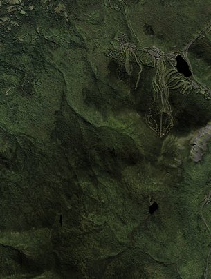
Aircraft-mounted lasers measured this ground to within inches. Trees and buildings are digitally stripped away, leaving the bare shape of the land the water has carved.
The bare-earth surface loses about 80 feet through the falls, but gradually, the profile of a cascade rather than a plunge. The ground at the falls is roughly 2,178 feet above sea level.
The ground changes about 75 feet in the 500 feet above the falls and 38 feet in the 500 feet below. The falls face southeast and sit in full sun for most of the day, best photographed early or late.
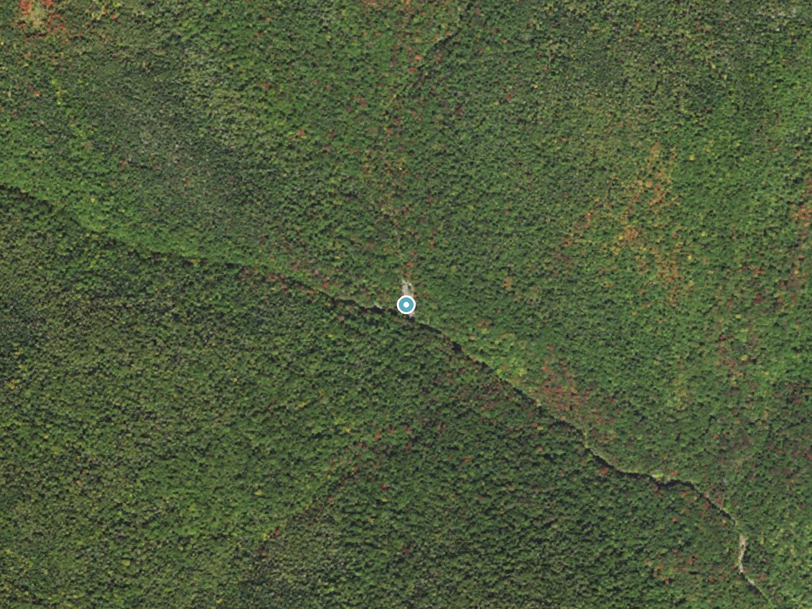
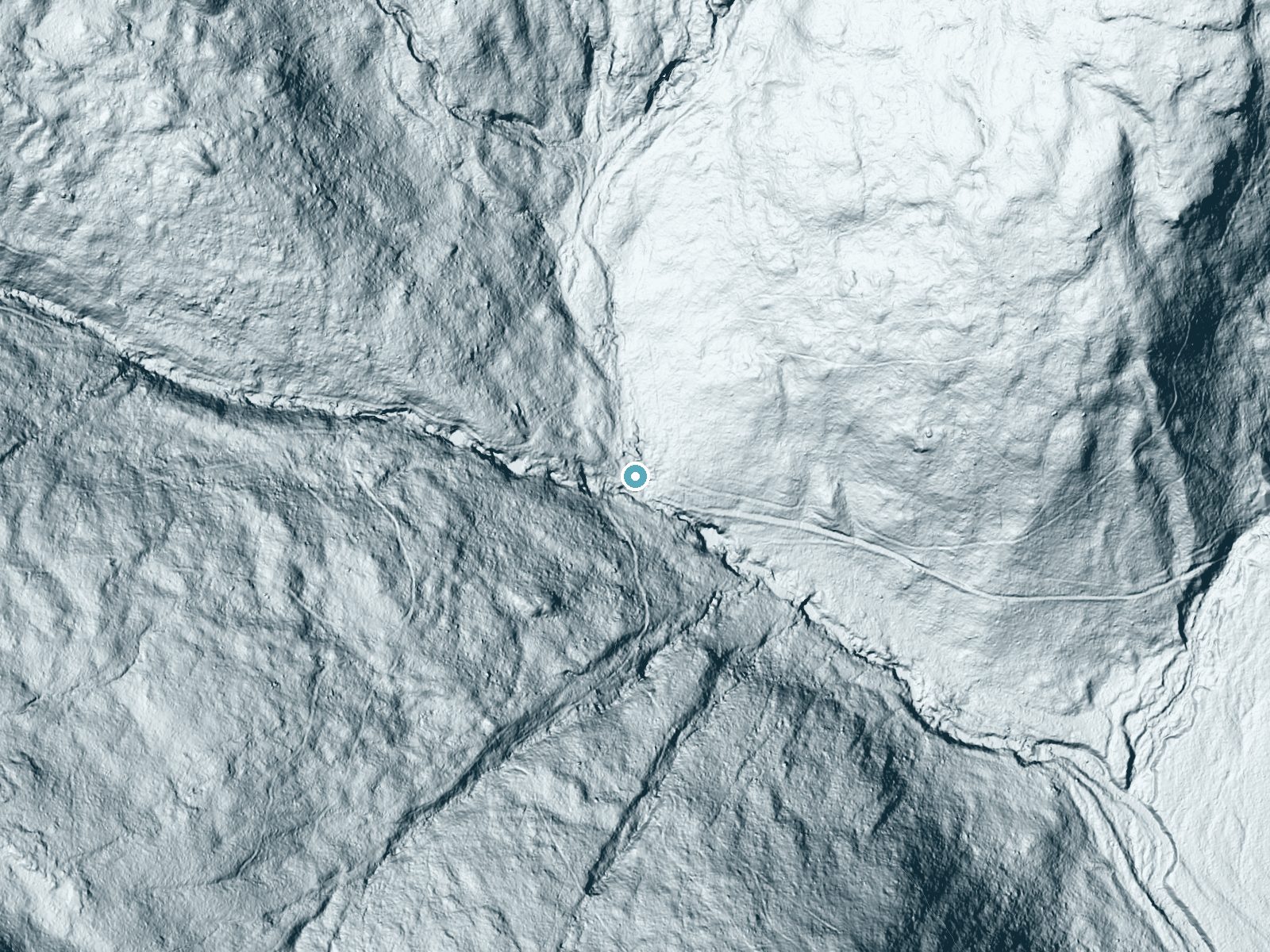
Drag to compare. The dot marks the waterfall. The frame is about a mile across.
- Ground elevation
- 2,178 feet
- Measured by 1-meter lidar
- Drop at the falls
- About 80 feet
- Change in ground height within ~250 feet of the falls
- Faces
- Southeast
- Sunlit most of the day. Go early or late for softer light.
A slice through the lidar ground surface, from above the falls to downstream (heading southeast).
Elevation data: USGS 3D Elevation Program. Aerial imagery: USGS The National Map. Public domain.
Location & Access
Getting There
Thirteen Falls is accessible via the Franconia Brook Trail, which begins at the Lincoln Woods Trailhead off the Kancamagus Highway (Route 112). The hike to the falls is remote and requires a significant trek through the wilderness.
Get Directions on Google MapsParking
Parking is available at the Lincoln Woods Trailhead. A parking fee or a White Mountain National Forest parking pass may be required.
Elevation
2,175 feet above sea level
Coordinates
44.164787° N, -71.595637° W
Land Management
Managed by USFS
Visitor Tips & Gear
Start early to allow plenty of time for the hike. Bring adequate food, water, and gear, as this is a remote area with no facilities. Check weather conditions and stream levels before your trip, as high water can make crossings dangerous.
Where to Stay
Profile Deluxe Motel
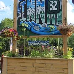
Inn 32

Holiday Inn Express & Suites - Lincoln East - White Mountains by IHG
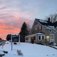
Allegory Inn
Browse vacation cabins and private rentals nearby
Unique outdoor stays — tents, yurts, and treehouses
Rent a campervan or RV for your waterfall road trip
Some links are affiliate links. We may earn a commission at no extra cost to you.
Nearby Campground
Wildwood
11.6 miles away · 26 sites
Overview There are 26 non-reservable wooded sites with gravel pads, fire rings, and picnic tables. A self-service pay system collects the fees on a first come, first serve basis. TIPS: * Allow no more than 8 people and 2 vehicles per site and keep all equipment (including tents, tables and motor vehicles) on the graveled area. This will minimize compaction, allow low vegetation to grow, and enhance privacy between sites. * Build all fires in the ring provided. “Only YOU can prevent forest fires,
Book on Recreation.govAdditional Information
Nearby Attractions
Lincoln Woods Trail, Franconia Falls, Bondcliff Trail, and the Pemigewasset Wilderness.
Wildlife
The area is home to a variety of wildlife, including moose, black bears, and birds. Be prepared for potential wildlife encounters and practice Leave No Trace principles.
Cities near Thirteen Falls
Nearby Waterfalls
Writing about Thirteen Falls? Embed this waterfall on your site for free.