The Thumb Pour Off
By Armen Suny · Last verified May 2026
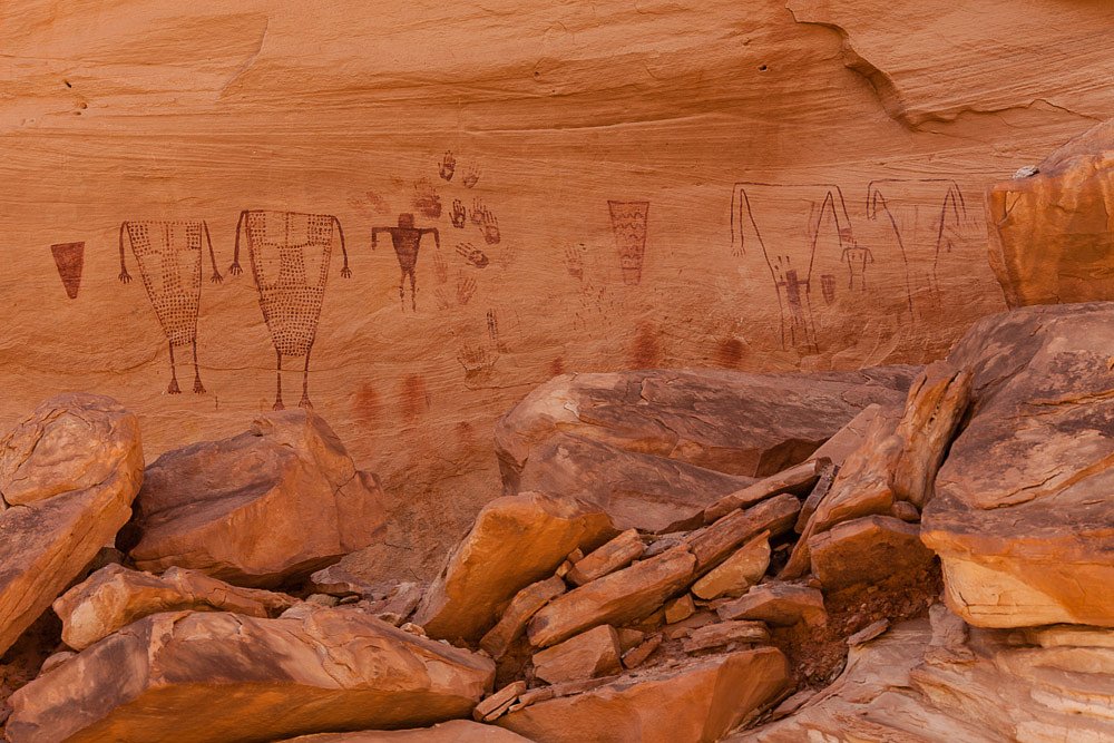
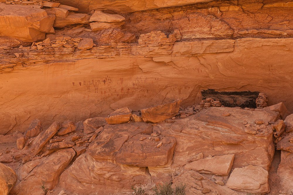

Photo Credits (3)
Difficulty
Moderate
Trail Length
2.4 miles
Trail Type
Out And Back
Elevation Gain
350 ft
About The Thumb Pour Off
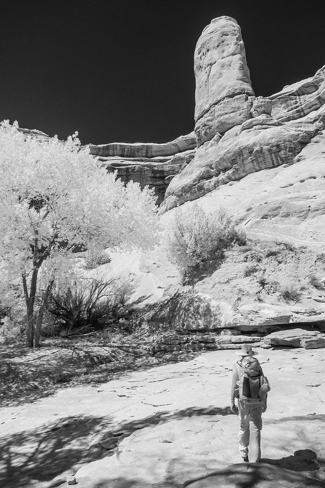
The Thumb Pour Off is a seasonal waterfall known for sudden, dramatic flows after heavy rains or spring snowmelt, tumbling across the region’s red rock ledges and fins. Often described in connection with the Needles area of Canyonlands, the site itself sits on public BLM land and is managed by the Bureau of Land Management’s Monticello Field Office (designation: PUB). Visit after storms for the most impressive cascades and vivid desert contrasts between rust-colored sandstone and ephemeral water. Access is relatively straightforward for day hikers: the setting feels remote and sculpted by wind and water, with open views of the surrounding desert formations and scattered native flora. Because the feature is seasonal, plan visits around weather forecasts and spring runoff; the BLM-managed terrain invites respectful, low-impact travel and exploration of the area’s dramatic geology.
The Setting
The Thumb Pour Off sits at 5,554 feet within Monticello Field Office, fed by the San Juan River, in the high mountains of Utah.
Trail & Hike Details
The Approach
The moderate 2.4-mile out-and-back trail gains 350 feet of elevation on the way to the falls.
Trail Description
The trail to The Thumb Pour Off is a 2.4-mile out-and-back route with approximately 350 feet of elevation gain and is rated moderate. The path is short and relatively flat in sections, with some moderate uphill stretches, and offers clear views of unusual rock formations and desert plants. Trail type: out-and-back; difficulty: moderate. (No USFS trail number or surface/grade/class data provided.)
What to Expect
The Thumb Pour Off is a seasonal waterfall, so its flow depends on recent rainfall or snowmelt. During dry periods, the waterfall may not be active. Visitors can expect a serene desert environment with striking red rock scenery.
Accessibility
The trail is not wheelchair accessible. Uneven terrain and elevation changes require steady footing.
Frequently Asked Questions
🐶 Are Dogs Allowed at The Thumb Pour Off?
❌ Dogs are not allowed
Are There Any Fees or Permits Required?
🤑 Fee: $30.00
🏊 Is There Swimming at The Thumb Pour Off?
❌ Swimming is not allowed
When to Visit
Spring and fall are the best times to visit due to mild temperatures and the potential for seasonal water flow.
Seasonal Access
The best time to visit is Spring and Fall. Access roads and trails may close during winter due to snow. Watch for flash flood warnings during monsoon season (July through September).
Safety Information
Carry plenty of water and be prepared for extreme temperatures. Watch for flash flooding during rainstorms, as the area is prone to sudden water flow.
Current Water Conditions
Based on a USGS gauge 23 miles away
840 ft³/s
Current discharge — how much water is flowing
Much lower than usual for this time of year
Based on 102 years of record
6.43 ft
Water depth at gauge
68°F
CoolRefreshing for swimming
7-Day Discharge Trend
What does this mean for your visit?
Flow is well below normal for this time of year, so the waterfall may be a trickle. Water temperature is a refreshing 68 degrees F, good for a quick swim. Expect excellent dissolved oxygen levels. Mineral content is moderate.
Water Quality
Dissolved Oxygen
ExcellentSupports aquatic life
Conductance
Dissolved minerals in the water
About This Gauge
This gauge is on a regional waterway. Conditions at the falls may differ, especially after local rain.
Know when to go.
Get a free email alert when waterfalls near Mexican Hat hit peak flow. We only send when conditions are worth the trip — no weekly newsletters, no spam.
Weather Forecast
Location & Access
Getting There
The Thumb Pour Off is located in the Needles District of Canyonlands National Park. Visitors can access the area by driving to the Needles Visitor Center and following park signage to the trailhead.
Get Directions on Google MapsParking
Parking is available at designated trailheads within the Needles District. Spaces may be limited during peak seasons.
Elevation
5554 feet above sea level
Coordinates
37.457220° N, -110.020130° W
Land Management
Managed by BLM
Visitor Tips & Gear
Visit after a rainstorm or during spring snowmelt for the best chance to see the waterfall flowing. Bring plenty of water, as the desert environment can be hot and dry. Wear sturdy shoes and sun protection.
This trail sits at 5,554 ft above sea level
Elevated TrailUV radiation is roughly 22% stronger at this elevation than at sea level, and the dry air accelerates dehydration. Extra sun protection and fluids go a long way.
As an Amazon Associate, we earn from qualifying purchases.

Coppertone Sport SPF 50 Sunscreen
UV intensity jumps ~4% per 1,000 ft — at this elevation you can burn in half the time.

Sun Bum SPF 30 Lip Balm (3-Pack)
Lips have almost no natural UV protection and burn fast in thin, dry mountain air.

Liquid I.V. Electrolyte Packets
You lose moisture ~2x faster at elevation — electrolytes help you absorb water efficiently.

ROCKNIGHT Polarized UV400 Sunglasses
High-altitude glare off rock and water is intense — UV400 lenses block 99%+ of UVA/UVB.
As an Amazon Associate, we earn from qualifying purchases.
With 2.4 miles and 350 ft of elevation gain, sturdy boots and trekking poles will help on this moderate trail.

Columbia Watertight II Rain Jacket
Packs into its own pocket, seam-sealed, and keeps you dry from spray and surprise rain.

Earth Pak Waterproof Dry Bag
Keeps your phone and gear dry when waterfall mist soaks everything else.

Waterproof Phone Pouch (AiRunTech)
Cheap insurance — take photos right next to the falls without killing your phone.

Timberland Euro Sprint Mid Waterproof
Trusted waterproof boot with premium leather and grippy rubber sole — reliable on rocky, wet trails.

TrailBuddy Trekking Poles
Lightweight aluminum, cork grips, and flip-locks that actually hold — a best-seller for good reason.

JOBY GorillaPod Starter Kit
Wraps around railings and rocks for long-exposure waterfall shots — no flat surface needed.
Where to Stay

Stone Lizard Lodge

Bears Ears Inn

The Retreat at Calf Canyon

Cedar Canyon Condos
Browse vacation cabins and private rentals nearby
Unique outdoor stays — tents, yurts, and treehouses
Rent a campervan or RV for your waterfall road trip
Some links are affiliate links. We may earn a commission at no extra cost to you.
Nearby Campground
Natural Bridges Campground
10.7 miles away · 13 sites
Overview The campground includes 13 sites total, each of which can accommodate tent campers or RVs. Due to the size of the campground, there is a length limit of 26 feet combined. The campground is open year-round and is typically busiest from mid-March to mid-June. Visitation also spikes in the late fall, between September and October. The campground tends to fill up quickly during these busy periods. The Natural Bridges National Monument Campground is located approximately 35 miles West of Blan
Book on Recreation.govNearby Hot Springs
Hot springs near Mexican Hat, Utah
Looking for a soak after your hike? Explore more hot springs near Mexican Hat, Utah on SoakingSprings.
Explore Utah springsAdditional Information
Nearby Attractions
Other attractions in the Needles District include Chesler Park, Elephant Hill, and the Joint Trail.
Wildlife
Visitors may encounter desert wildlife such as lizards, birds, and small mammals. Be cautious of snakes and other potentially dangerous animals.
Cities near The Thumb Pour Off
Writing about The Thumb Pour Off? Embed this waterfall on your site for free.