Photo Credits (4)
Difficulty
Moderate
Trail Length
2.4 miles
Trail Type
Out And Back
Elevation Gain
350 ft
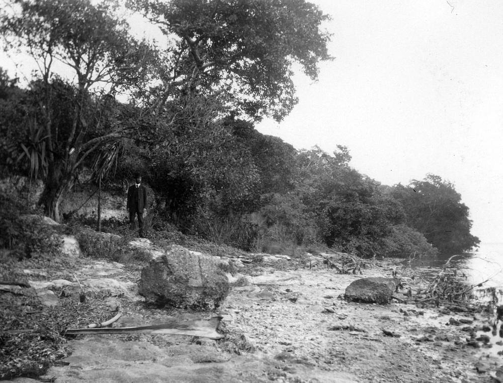
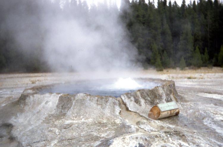
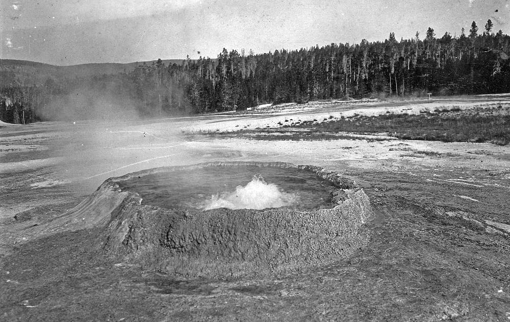
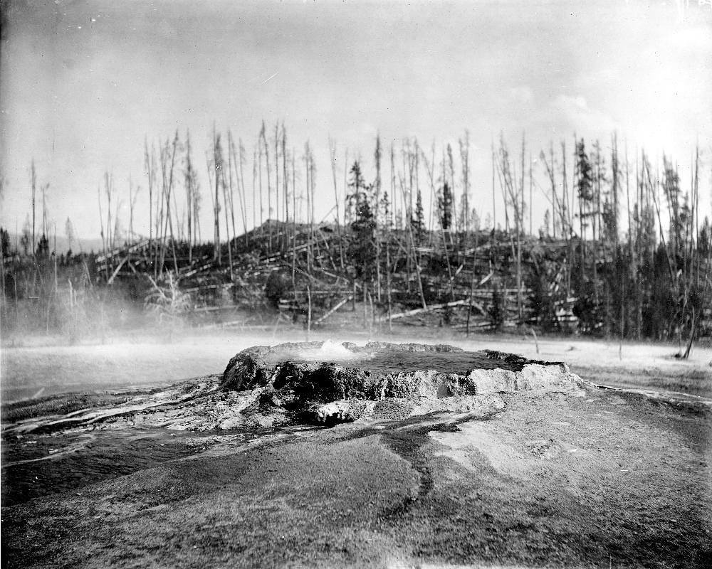
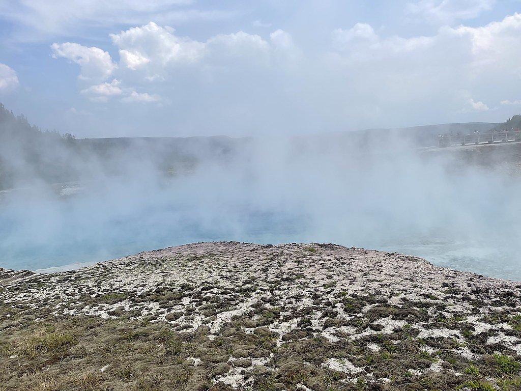
About The Punch Bowl
The Punch Bowl is a scenic waterfall located in the Los Padres National Forest in California. It is known for its picturesque setting and natural swimming hole, making it a popular destination for hikers and outdoor enthusiasts.
The Setting
The Punch Bowl sits at 2,867 feet within Los Padres National Forest, in the hills of California.
Nearby Falls Worth Visiting
Rose Valley Falls (300 ft) lies 8.4 miles to the northwest.
Trail & Hike Details
The Approach
The moderate hike follows Santa Paula Canyon (#21W11), a 2.4-mile out-and-back trail over natural surface. Expect 350 feet of elevation gain with grades of 10-12%. The trail is developed (Class 3).
USFS Trail
SANTA PAULA CANYON #21W11
Trail Class
Developed
Surface
Avg Grade
USFS Segment
4.01 miTrail Description
The Santa Paula Canyon Trail to The Punch Bowl is a moderately challenging hike that takes visitors through a mix of shaded forest, rocky terrain, and creek crossings. The trail features scenic views, small waterfalls, and natural pools along the way. The final destination, The Punch Bowl, is a large pool fed by a cascading waterfall, surrounded by rock formations.
What to Expect
Swimming is permitted. Dogs are welcome.
Accessibility
The trail is not wheelchair accessible. Uneven terrain and elevation changes require steady footing.
Frequently Asked Questions
🐶 Are Dogs Allowed at The Punch Bowl?
✅ Dogs are allowed
Are There Any Fees or Permits Required?
🆖 No fees required
🏊 Is There Swimming at The Punch Bowl?
✅ Swimming is allowed
When to Visit
Spring and early summer are the best times to visit, as the waterfall flow is typically strongest, and the weather is mild. Fall is also a good option for cooler temperatures.
Seasonal Access
The best time to visit is Spring, Summer, and Fall. Winter access may be limited. Check with Los Padres National Forest for seasonal road closures.
Safety Information
Be cautious during creek crossings, as rocks can be slippery and water levels may rise after rain. Watch for poison oak along the trail. During summer, carry extra water to avoid dehydration. Check for fire restrictions or closures before visiting.
Current Water Conditions
8 ft³/s
Current discharge — how much water is flowing
About average for this time of year
Based on 97 years of record
66.79 ft
Water depth at gauge
7-Day Discharge Trend
What does this mean for your visit?
Flow is about average for this time of year.
About This Gauge
7-Day Flow Outlook
Based on the USGS gauge SANTA PAULA C NR SANTA PAULA (6 km away).
Today
Roaring
8 cfs
9/10Tomorrow
Roaring
7 cfs
9/10Tue
Roaring
7 cfs
9/10Wed
Roaring
7 cfs
9/10Thu
Roaring
7 cfs
9/10Fri
Roaring
7 cfs
9/10Sat
Roaring
7 cfs
9/10Best window: Today — roaring flow, mostly sunny (trip score 9/10).
Best time of year: this gauge typically runs highest from early February to early May, peaking in March.
How we calculate this
This is a transparent outlook, not a precise forecast. We take the waterfall's current flow strength (how it ranks against its historical normal for today, from the nearest USGS stream gauge), carry that ranking forward along the gauge's seasonal curve, and nudge it for forecast rain. Confidence is highest for the next day or two and falls further out. Always check official conditions and your own judgment before visiting — high flows can be dangerous.
Know when to go.
Get a free email alert when waterfalls near Santa Paula hit peak flow. We only send when conditions are worth the trip — no weekly newsletters, no spam.
Weather Forecast
Location & Access
Getting There
The Punch Bowl can be accessed via the Santa Paula Canyon Trail, which begins near Thomas Aquinas College in Santa Paula, California. The trailhead is located off Highway 150.
Get Directions on Google MapsParking
Parking is available near the trailhead, but it may be limited on weekends and holidays. Visitors should be prepared to park along the road if the lot is full.
Elevation
2,867 feet above sea level
Coordinates
34.463327° N, -119.052882° W
Land Management
Managed by USFS
Visitor Tips & Gear
Start early to avoid crowds and ensure you have enough daylight for the hike. Bring plenty of water, as the trail can be hot and exposed in some sections. Be cautious during creek crossings, especially after heavy rains, as water levels may rise.
As an Amazon Associate, we earn from qualifying purchases.
With 2.4 miles and 350 ft of elevation gain, sturdy boots and trekking poles will help on this moderate trail. Sun exposure on the trail makes good sun protection a must in summer.

Polarized Sunglasses (Knockaround)
Cuts glare off the water so you actually see the falls — and your photos turn out better too.

Columbia Watertight II Rain Jacket
Packs into its own pocket, seam-sealed, and keeps you dry from spray and surprise rain.

Earth Pak Waterproof Dry Bag
Keeps your phone and gear dry when waterfall mist soaks everything else.

Waterproof Phone Pouch (AiRunTech)
Cheap insurance — take photos right next to the falls without killing your phone.

Timberland Euro Sprint Mid Waterproof
Trusted waterproof boot with premium leather and grippy rubber sole — reliable on rocky, wet trails.

TrailBuddy Trekking Poles
Lightweight aluminum, cork grips, and flip-locks that actually hold — a best-seller for good reason.
Where to Stay

Amanzi Hotel, an Ascend Collection Hotel

Casa Ojai Inn

Ojai Retreat & Inn

Hampton Inn By Hilton Santa Clarita-Valencia
Browse vacation cabins and private rentals nearby
Unique outdoor stays — tents, yurts, and treehouses
Rent a campervan or RV for your waterfall road trip
Some links are affiliate links. We may earn a commission at no extra cost to you.
Nearby Campground
MIDDLE LION CAMPGROUND
8.8 miles away · 8 sites
Overview Leave the city vibe behind as you meander down a winding, partially paved, narrow road that leads you into wooded Middle Lion Campground and day use area. Relax next to the running creek, take a refreshing dip, or hike the nearby trails. Tucked away in a canyon encased by chaparral and wildflower covered mountains, Middle Lion Campground is particularly beautiful in the spring and fall, but camping is great year-round.Recreation The Lion Canyon Trail (22W06) starts at the back of the cam
Book on Recreation.govNearby Hot Springs
Hot springs near Santa Paula, California
Sespe Hot Springs
Sespe Hot Springs near Fillmore represents one of Southern California's most celebrated backcountry thermal destinations, known...
Willett Hot Springs
This second Willett Hot Springs recording sits at 2,787 feet elevation within the Sespe Wilderness near the Piedra Blanca trail...

Willett Hot Springs
Willett Hot Springs flows at 108 degrees Fahrenheit deep within the Sespe Wilderness of Los Padres National Forest at 4,143 fee...

Sespe Hot Springs
Sespe Hot Springs delivers an exceptional 194°F at the source within remote Los Padres National Forest backcountry in Ventura C...
Matilija Hot Springs
Matilija Hot Springs emerges at 109°F in the scenic Topatopa Mountains, offering geothermally-heated soaking in a remote Sierra...
Matilija Hot Springs
This secondary vent of the historic Matilija thermal system lies even closer to North Fork Springs Road, showcasing the multi-s...
Looking for a soak after your hike? Explore more hot springs near Santa Paula, California on SoakingSprings.
Explore California springsAdditional Information
Nearby Attractions
Nearby attractions include Santa Paula Creek, Big Cone Camp, and other trails within the Los Padres National Forest.
Wildlife
The area is home to various wildlife, including birds, deer, and small mammals. Be cautious of snakes, especially during warmer months.
Cities near The Punch Bowl
Nearby Waterfalls

Writing about The Punch Bowl? Embed this waterfall on your site for free.