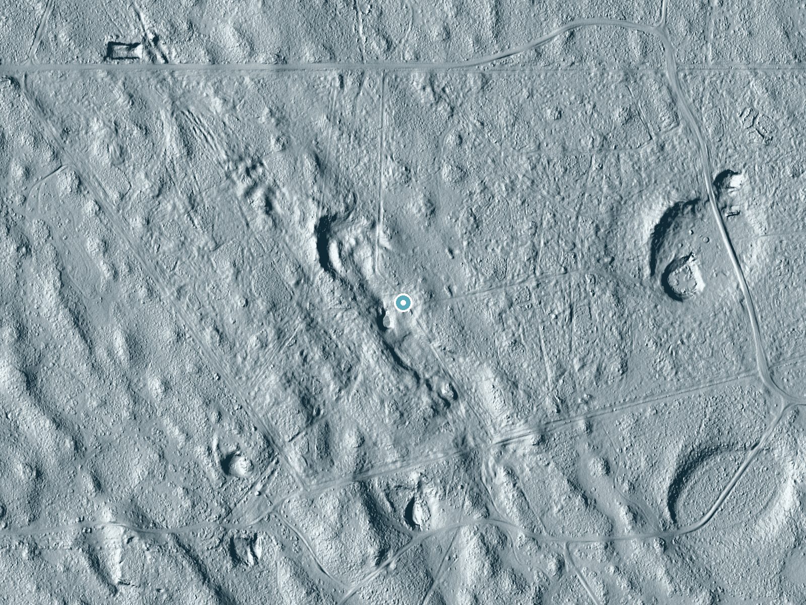
 LiDAR terrain view · USGS 3DEP
Difficulty
Drive Up
Trail Length
0.1 miles
Trail Type
Out And Back
Elevation Gain
10 ft
About Tecolote Artesian Well
Tecolote Artesian Well is a natural artesian well located in Texas, known for its historical significance and as a source of fresh water. It is not a traditional waterfall but rather a natural spring where water flows continuously from the ground.
Trail & Hike Details
The Approach
No hiking required. Tecolote Artesian Well is accessible by vehicle with a roadside viewing area.
Trail Description
There is no specific trail associated with the Tecolote Artesian Well. Access may involve walking on unmarked paths or open terrain.
What to Expect
Visitors can expect to see a natural artesian well with water flowing from the ground. The site may have historical or cultural significance, but amenities and facilities are likely minimal or nonexistent.
Accessibility
This waterfall is viewable from a vehicle-accessible area. No hiking is required.
Frequently Asked Questions
🐶 Are Dogs Allowed at Tecolote Artesian Well?
❌ Dogs are not allowed
Are There Any Fees or Permits Required?
🆖 No fees required
🏊 Is There Swimming at Tecolote Artesian Well?
❌ Swimming is not allowed
When to Visit
The well can typically be visited year-round, but spring and fall may offer the most comfortable weather conditions in Texas.
Seasonal Access
The best time to visit is Spring, Summer, Fall, and Winter.
Safety Information
Visitors should exercise caution around natural water sources and uneven terrain. Be aware of potential wildlife encounters and bring adequate supplies.
Know when to go.
Get a free email alert when waterfalls near San Perlita hit peak flow. We only send when conditions are worth the trip — no weekly newsletters, no spam.
Weather Forecast
The Terrain, Seen by LiDAR
Aircraft-mounted lasers measured this ground to within inches. Trees and buildings are digitally stripped away, leaving the bare shape of the land the water has carved.
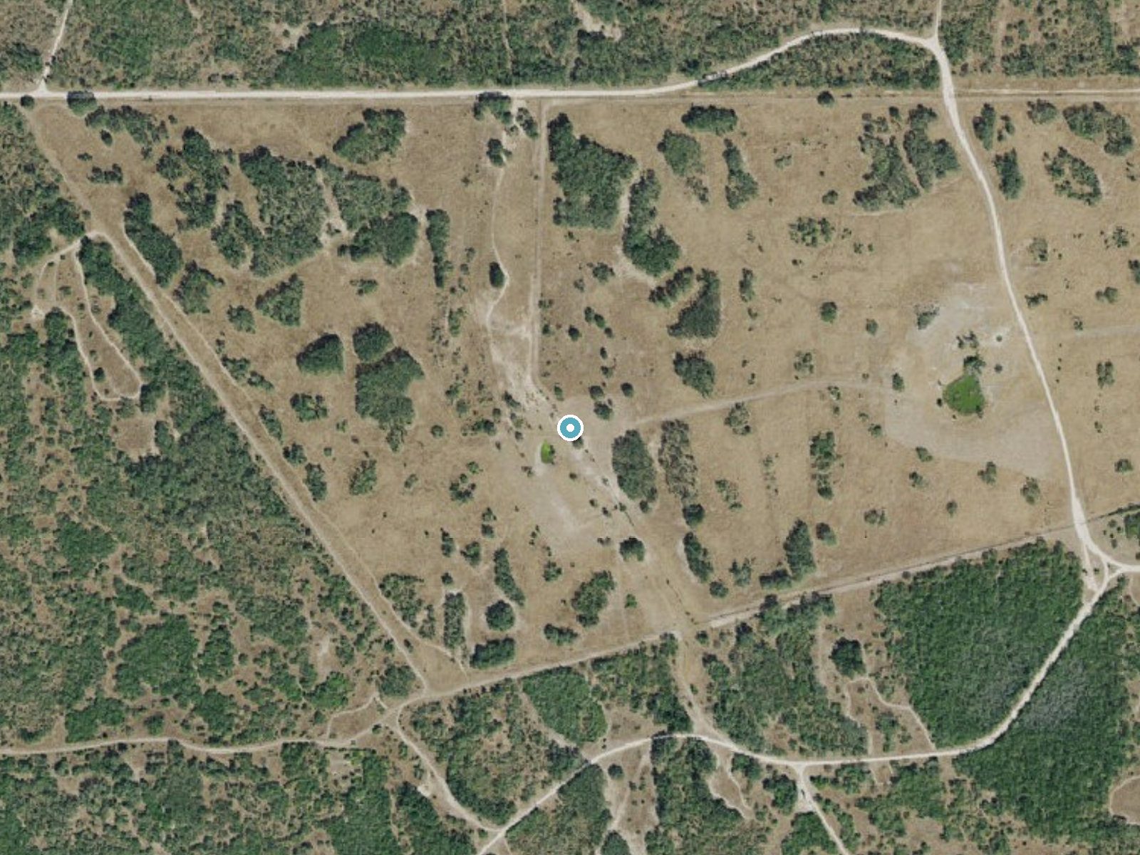
Drag to compare. The dot marks the waterfall. The frame is about a mile across.
Elevation data: USGS 3D Elevation Program. Aerial imagery: USGS The National Map. Public domain.
Location & Access
Getting There
The Tecolote Artesian Well is located in Texas, but specific directions to the site are not widely documented. Visitors are advised to consult local resources or maps for precise access information.
Get Directions on Google MapsParking
Parking availability near the well is unclear. Visitors should prepare for limited or no designated parking areas.
Elevation
20 feet above sea level
Coordinates
26.673396° N, -97.615822° W
Visitor Tips & Gear
Bring plenty of water, as facilities may not be available. Wear sturdy shoes if walking is required to access the site. Check local conditions before visiting.
As an Amazon Associate, we earn from qualifying purchases.
For this easy 0.1 miles trail, lightweight trail shoes and a water bottle are usually sufficient. Icy conditions are common in winter — traction cleats are a smart addition.

Columbia Watertight II Rain Jacket
Packs into its own pocket, seam-sealed, and keeps you dry from spray and surprise rain.

Earth Pak Waterproof Dry Bag
Keeps your phone and gear dry when waterfall mist soaks everything else.

Waterproof Phone Pouch (AiRunTech)
Cheap insurance — take photos right next to the falls without killing your phone.

Kahtoola MICROspikes
Cult-favorite traction cleats that grip ice and wet rock — essential for winter waterfall hikes.

Polarized Sunglasses (Knockaround)
Cuts glare off the water so you actually see the falls — and your photos turn out better too.

OR Sombriolet Sun Hat
UPF 50+ sun protection with vents so your head doesn't cook on exposed trail sections.
Where to Stay

La Quinta Inn Suites by Wyndham Raymondville Harlingen

Deluxe Inn and Suites

Texas Inn and Suites Raymondville
Browse vacation cabins and private rentals nearby
Unique outdoor stays — tents, yurts, and treehouses
Rent a campervan or RV for your waterfall road trip
Some links are affiliate links. We may earn a commission at no extra cost to you.
Additional Information
Nearby Attractions
Nearby attractions are not well-documented. Visitors may explore other natural or historical sites in the region.
Wildlife
Wildlife in the area may include typical Texas fauna such as birds, small mammals, and reptiles.
Cities near Tecolote Artesian Well
Writing about Tecolote Artesian Well? Embed this waterfall on your site for free.