Photo Credits (5)
Difficulty
Moderate
Trail Length
2.4 miles
Trail Type
Out And Back
Elevation Gain
350 ft
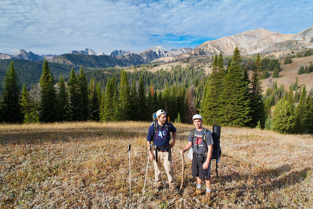
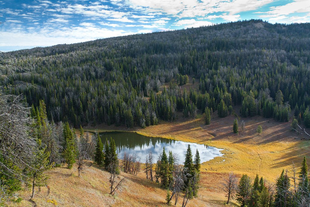
About Taylor Falls
Taylor Falls is a lesser-known waterfall located in Montana, offering a serene and scenic experience for visitors. It is surrounded by lush forested areas and is a great spot for nature enthusiasts.
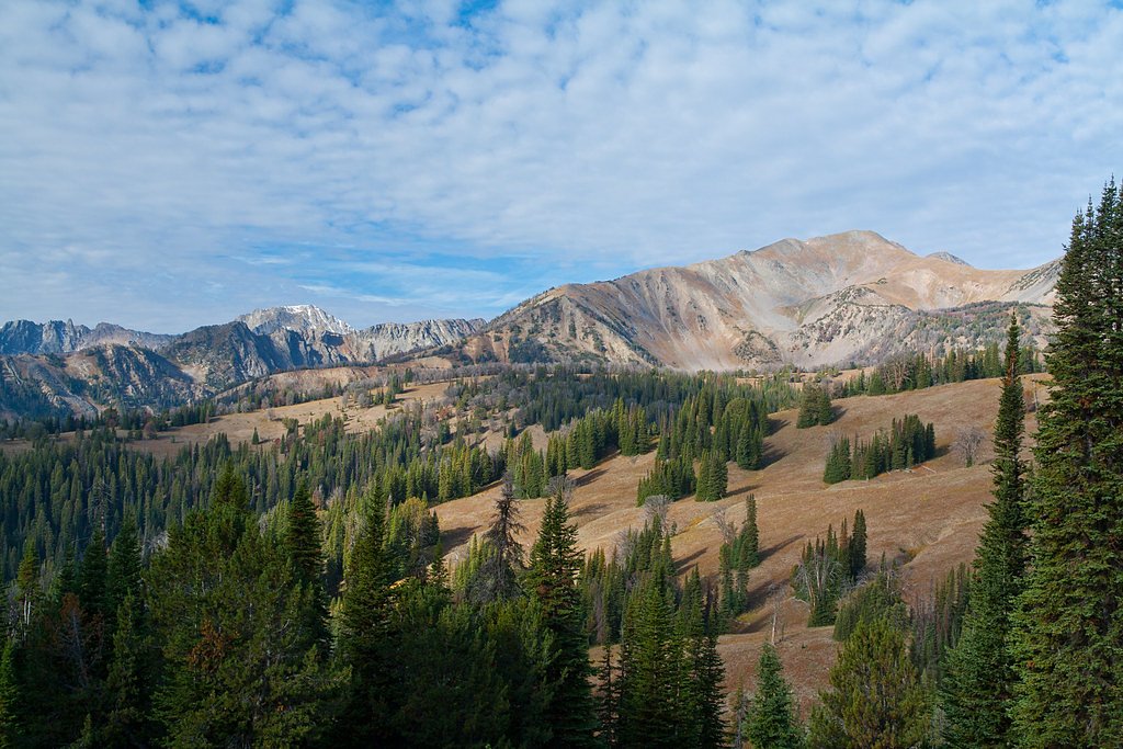
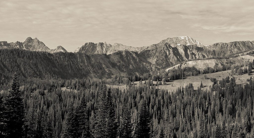
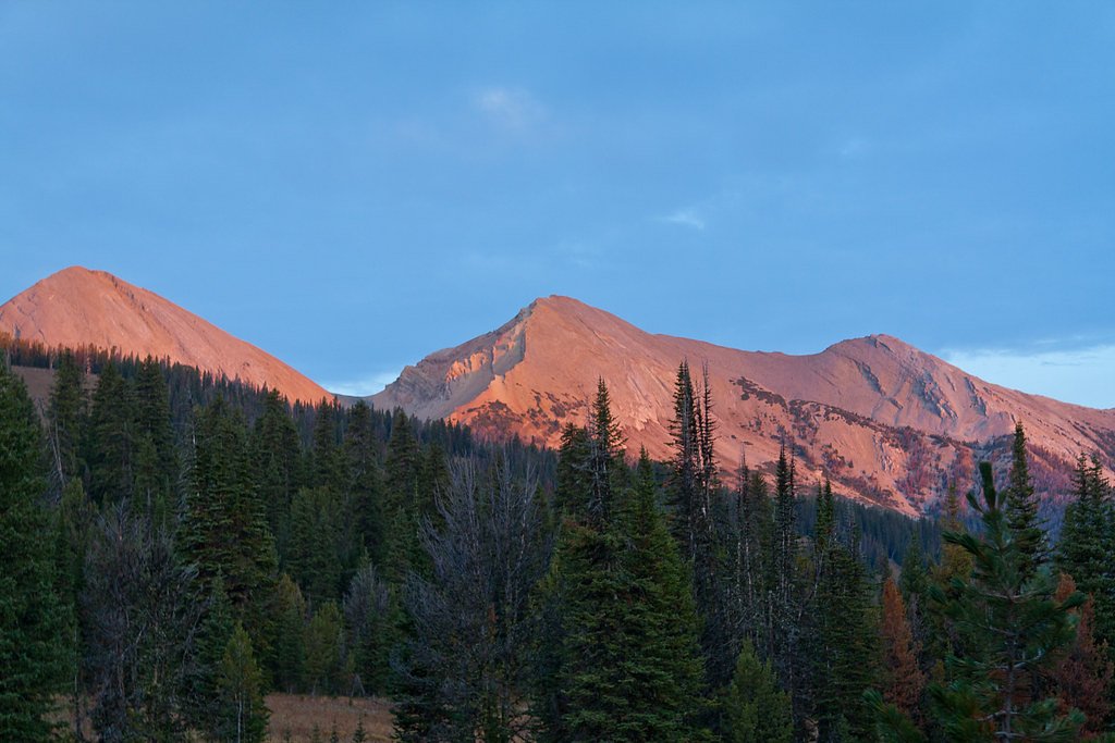
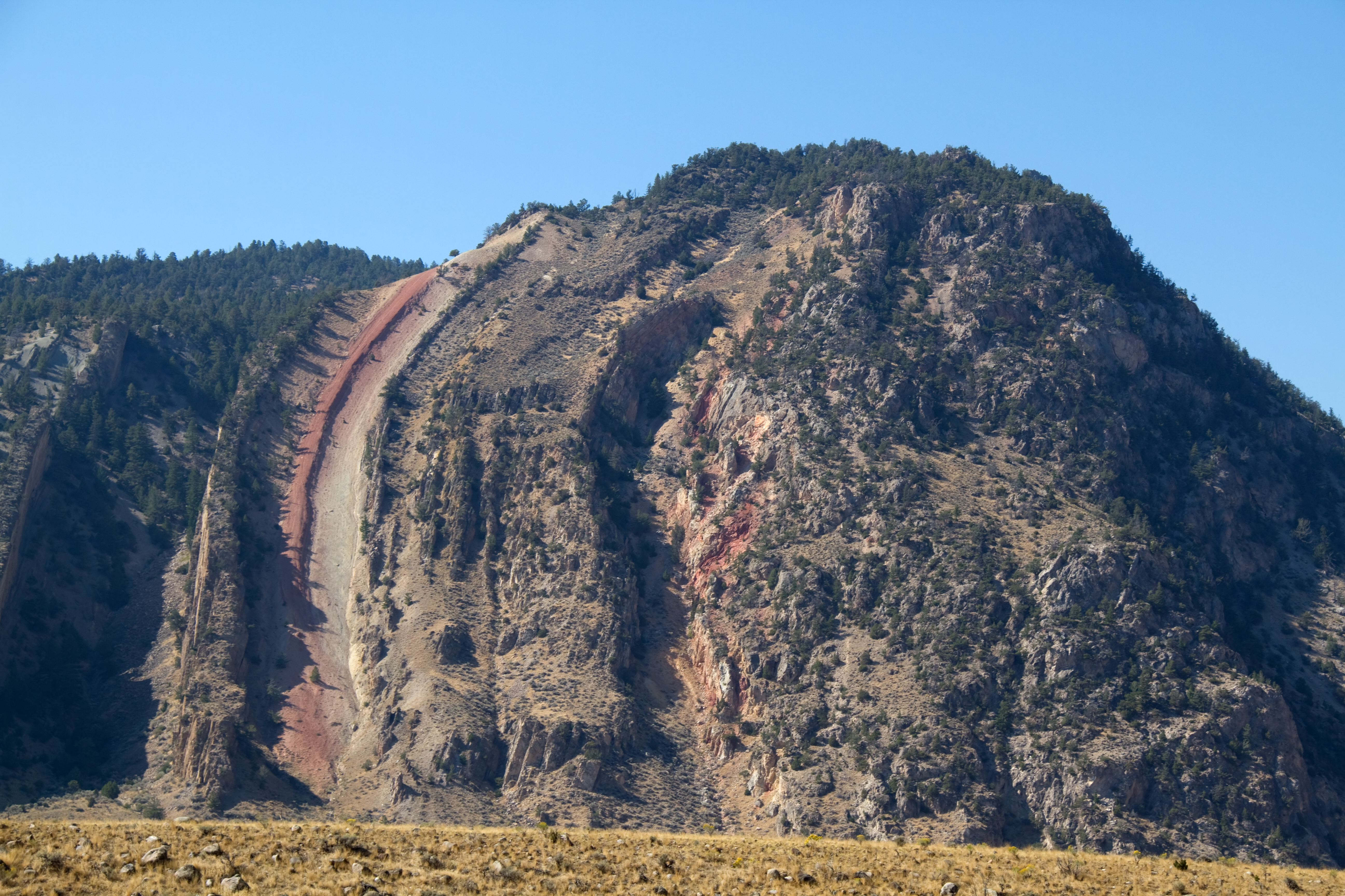
The Setting
Taylor Falls sits at 7,674 feet within Gallatin National Forest, fed by the Madison River Bl Hebgen Lake, in the high mountains of Montana.
Trail & Hike Details
The Approach
The moderate hike follows Taylor Falls (#17), a 2.4-mile out-and-back trail over natural surface. Expect 350 feet of elevation gain. The trail is moderately developed (Class 2).
USFS Trail
TAYLOR FALLS #17
Trail Class
Moderately Developed
Surface
USFS Segment
1.70 miTrail Description
The trail to Taylor Falls is not well-documented, and details about its length, terrain, and difficulty are unclear. Visitors should prepare for potentially uneven or unmarked paths.
What to Expect
Visitors can expect a peaceful and natural setting with a waterfall surrounded by forest. The area may be remote, so plan accordingly.
Accessibility
The trail is not wheelchair accessible. Uneven terrain and elevation changes require steady footing.
Frequently Asked Questions
🐶 Are Dogs Allowed at Taylor Falls?
❌ Dogs are not allowed
Are There Any Fees or Permits Required?
🆖 No fees required
🏊 Is There Swimming at Taylor Falls?
❌ Swimming is not allowed
When to Visit
Spring and early summer are typically the best times to visit, as water flow is likely to be at its peak due to snowmelt.
Seasonal Access
The best time to visit is Spring, Summer, and Fall. Access roads and trails may close during winter due to snow. Check with Gallatin National Forest for seasonal road closures.
Safety Information
The trail may be remote and unmarked. Visitors should carry sufficient supplies, inform someone of their plans, and be cautious of wildlife and weather conditions.
Current Water Conditions
699 ft³/s
Current discharge — how much water is flowing
About average for this time of year
Based on 87 years of record
1.54 ft
Water depth at gauge
55°F
ColdBracing — limit time in water
7-Day Discharge Trend
What does this mean for your visit?
Flow is about average for this time of year. Water temperature is a bracing 55 degrees F, limit your time in the water.
About This Gauge
This gauge is on a nearby waterway and may not reflect exact conditions at the falls.
7-Day Flow Outlook
Based on the USGS gauge Madison River bl Hebgen Lake nr Grayling MT (20 km away).
Today
Low
797 cfs
3/10Tomorrow
Low
845 cfs
3/10Sun
Low
847 cfs
3/10Mon
Low
882 cfs
3/10Tue
Low
882 cfs
3/10Wed
Low
856 cfs
3/10Thu
Barely Flowing
755 cfs
5/10Best window: Thu — barely flowing flow, mostly sunny (trip score 5/10).
Best time of year: this gauge typically runs highest from mid October to late November, peaking in June.
How we calculate this
This is a transparent outlook, not a precise forecast. We take the waterfall's current flow strength (how it ranks against its historical normal for today, from the nearest USGS stream gauge), carry that ranking forward along the gauge's seasonal curve, and nudge it for forecast rain. Confidence is highest for the next day or two and falls further out. Always check official conditions and your own judgment before visiting — high flows can be dangerous.
Know when to go.
Get a free email alert when waterfalls near Big Sky hit peak flow. We only send when conditions are worth the trip — no weekly newsletters, no spam.
Weather Forecast
Location & Access
Getting There
Specific directions to Taylor Falls are not widely documented. Visitors are advised to consult local maps or guides for accurate navigation. It may require driving on unpaved roads and a short hike to access.
Get Directions on Google MapsParking
Parking availability is unclear, but visitors should expect limited or informal parking near the trailhead.
Elevation
7,674 feet above sea level
Coordinates
45.036594° N, -111.407459° W
Land Management
Managed by USFS
Visitor Tips & Gear
Bring a detailed map or GPS device as the trail may not be well-marked. Wear sturdy footwear and be prepared for changing weather conditions.
This trail sits at 7,674 ft above sea level
Elevated TrailUV radiation is roughly 31% stronger at this elevation than at sea level, and the dry air accelerates dehydration. Extra sun protection and fluids go a long way.
As an Amazon Associate, we earn from qualifying purchases.

Coppertone Sport SPF 50 Sunscreen
UV intensity jumps ~4% per 1,000 ft — at this elevation you can burn in half the time.

Sun Bum SPF 30 Lip Balm (3-Pack)
Lips have almost no natural UV protection and burn fast in thin, dry mountain air.

Liquid I.V. Electrolyte Packets
You lose moisture ~2x faster at elevation — electrolytes help you absorb water efficiently.

ROCKNIGHT Polarized UV400 Sunglasses
High-altitude glare off rock and water is intense — UV400 lenses block 99%+ of UVA/UVB.
As an Amazon Associate, we earn from qualifying purchases.
With 2.4 miles and 350 ft of elevation gain, sturdy boots and trekking poles will help on this moderate trail. Sun exposure on the trail makes good sun protection a must in summer.

Polarized Sunglasses (Knockaround)
Cuts glare off the water so you actually see the falls — and your photos turn out better too.

Columbia Watertight II Rain Jacket
Packs into its own pocket, seam-sealed, and keeps you dry from spray and surprise rain.

Earth Pak Waterproof Dry Bag
Keeps your phone and gear dry when waterfall mist soaks everything else.

Waterproof Phone Pouch (AiRunTech)
Cheap insurance — take photos right next to the falls without killing your phone.

Timberland Euro Sprint Mid Waterproof
Trusted waterproof boot with premium leather and grippy rubber sole — reliable on rocky, wet trails.

TrailBuddy Trekking Poles
Lightweight aluminum, cork grips, and flip-locks that actually hold — a best-seller for good reason.
Where to Stay

Terra Nova Cabins

Dream Drift Motel

Residence Inn by Marriott Big Sky/The Wilson Hotel

Dreamcatcher Tipi Hotel
Browse vacation cabins and private rentals nearby
Unique outdoor stays — tents, yurts, and treehouses
Rent a campervan or RV for your waterfall road trip
Some links are affiliate links. We may earn a commission at no extra cost to you.
Nearby Campground
BEAVER CREEK CABIN (MT)
8.7 miles away · 1 sites
Overview Beaver Creek Cabin is a primitive, rustic cabin located within the Custer Gallatin National Forest, in an area that offers a variety of recreational activities. The cabin is situated 3.5 miles down Forest Service Road 985. It is accessible by vehicle when there is no snow, but winter access is only by snowmobile, skis, or snowshoes. Guests are responsible for their own travel arrangements and safety, and they must bring several of their own amenities. Recreation Several trailheads near
Book on Recreation.govNearby Hot Springs
Hot springs near Big Sky, Montana
Wolf Creek Hot Springs
Wolf Creek Hot Springs reaches 154 degrees Fahrenheit in the mountains of Gallatin County, Montana, near Big Sky. USGS measurem...
West Fork Swimming Hole
West Fork Swimming Hole emerges at 79 degrees Fahrenheit in the Beaverhead National Forest of Gallatin County, Montana, near We...
Vigilante Spring
Vigilante Spring surfaces at 75 degrees Fahrenheit on federal land within Beaverhead National Forest in Madison County, Montana...
Sloan Cow Camp Spring
Sloan Cow Camp Spring is a warm spring at 86 degrees Fahrenheit on US Forest Service land in the Beaverhead National Forest, Ga...
Laduke (Corwin) Hot Spring
LaDuke Hot Spring, also called Corwin Hot Spring, discharges at 154°F on the Gallatin National Forest in Gallatin County, Monta...
Ennis Hot Springs
Ennis Hot Springs registers at 181°F, making it one of Montana's hottest thermal sources and far too hot for any direct contact...
Looking for a soak after your hike? Explore more hot springs near Big Sky, Montana on SoakingSprings.
Explore Montana springsAdditional Information
Nearby Attractions
Other natural attractions in Montana, such as Glacier National Park or local hiking trails, may be worth exploring.
Wildlife
The area may host a variety of wildlife, including deer, birds, and possibly bears. Visitors should take standard precautions.
Cities near Taylor Falls
Writing about Taylor Falls? Embed this waterfall on your site for free.