Tallapoosa Falls (historical)
By Armen Suny · Last verified May 2026
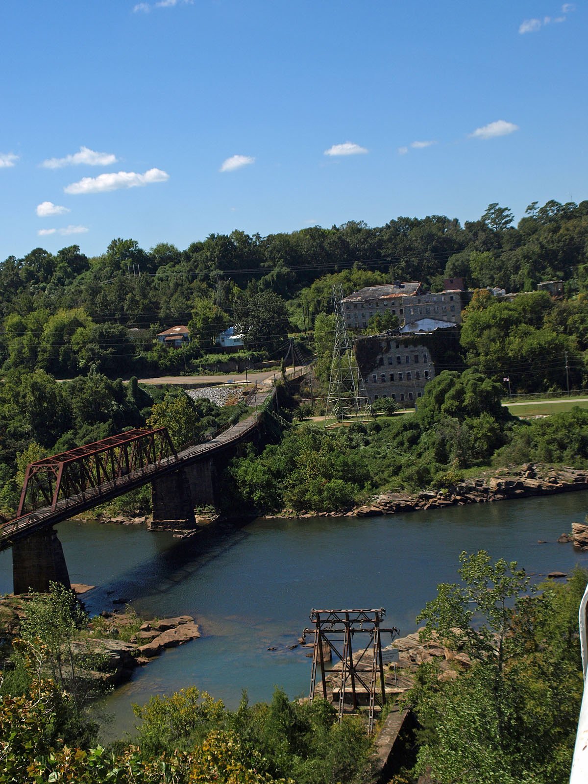
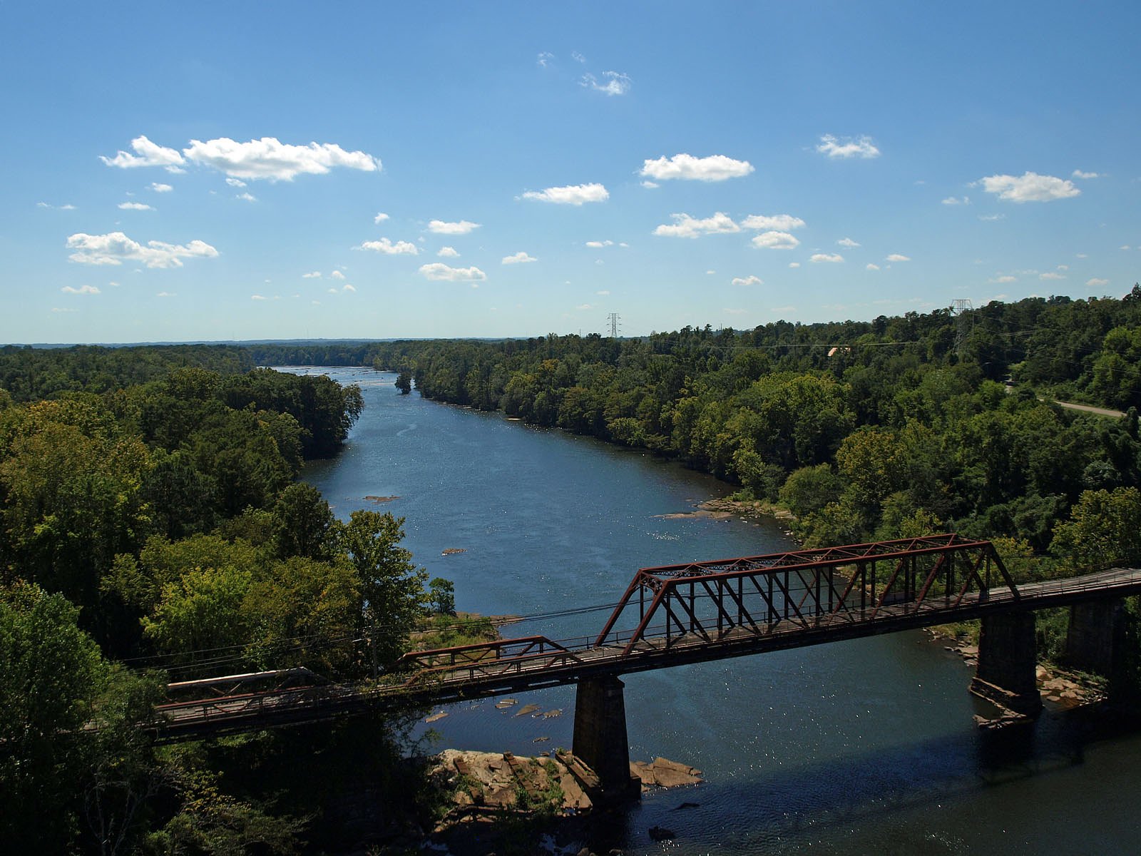

Photo Credits (5)
Difficulty
Moderate
Trail Length
2.4 miles
Trail Type
Out And Back
Elevation Gain
350 ft
About Tallapoosa Falls (historical)
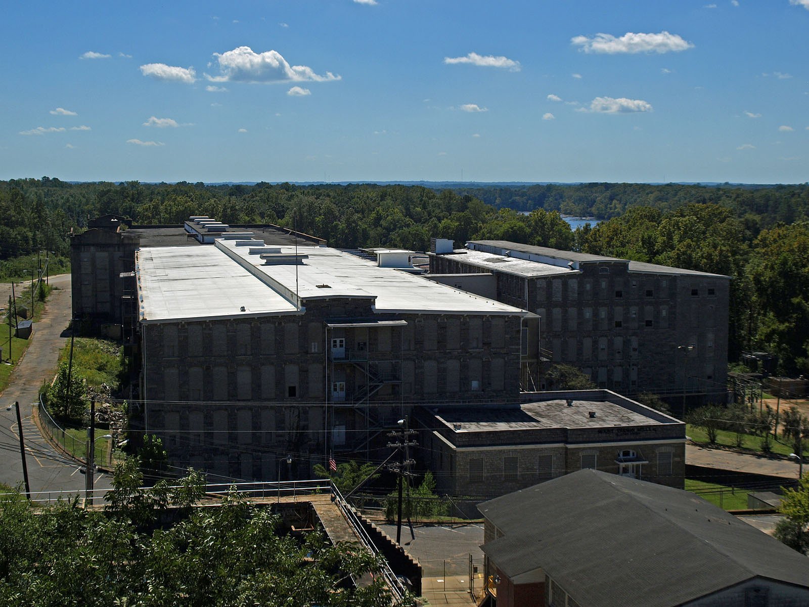
Tallapoosa Falls is a historical waterfall site in Alabama that today reads more like a quiet chapter of the river’s past than a prominent cascade. Accounts and site conditions indicate the falls have been altered or diminished over time; the feature sits within State-owned Submerged Lands (Designation: RMA) and the parcel is managed by SDNR, with land ownership recorded as OTHS. Because the site lies on submerged state lands, visible water features can be seasonal or affected by upstream projects and water levels. For hikers interested in exploring the area, there is a short (2.4 mile) out-and-back route commonly used to reach the location, with roughly 350 feet of elevation gain and a moderate difficulty rating. Access details and any restrictions are best confirmed with SDNR before you go; the nearest developed camping option is Fort Toulouse, about 34.72 km away, so plan accordingly if you expect to stay overnight in the vicinity.
The Setting
Tallapoosa Falls (historical) sits at 289 feet within State-owned Submerged Lands, fed by the Uphapee Creek, in the coastal lowlands of Alabama.
Trail & Hike Details
The Approach
The moderate 2.4-mile out-and-back trail gains 350 feet of elevation on the way to the falls.
Trail Description
Trail: 2.4 miles round-trip (out-and-back), elevation gain ~350 feet, difficulty: moderate. Surface, grade, and USFS trail class are not specified for this route; the trail is typically described as a moderate, short hike rather than a highly developed, graded trail. Because the site lies on State-owned Submerged Lands (Designation: RMA) managed by SDNR and owned by OTHS, visitors should verify access and any seasonal restrictions with SDNR before hiking. Nearest developed campground: Fort Toulouse, ~34.72 km away.
What to Expect
Due to the historical nature of Tallapoosa Falls, visitors should not expect a prominent or well-maintained waterfall. The area may have limited visibility of the falls or no visible waterfall at all.
Accessibility
The trail is not wheelchair accessible. Uneven terrain and elevation changes require steady footing.
Frequently Asked Questions
🐶 Are Dogs Allowed at Tallapoosa Falls (historical)?
❌ Dogs are not allowed
Are There Any Fees or Permits Required?
🆖 No fees required
🏊 Is There Swimming at Tallapoosa Falls (historical)?
❌ Swimming is not allowed
When to Visit
Spring and fall may offer the best conditions for exploring the area, as water flow is typically higher during these seasons.
Seasonal Access
The best time to visit is Spring, Summer, Fall, and Winter.
Safety Information
Visitors should exercise caution when exploring unfamiliar or undeveloped areas. Be aware of potential hazards such as uneven terrain, slippery rocks, or wildlife.
Current Water Conditions
119 ft³/s
Current discharge — how much water is flowing
About average for this time of year
Based on 82 years of record
1.57 ft
Water depth at gauge
7-Day Discharge Trend
What does this mean for your visit?
Flow is about average for this time of year.
About This Gauge
This gauge is on a nearby waterway and may not reflect exact conditions at the falls.
7-Day Flow Outlook
Based on the USGS gauge UPHAPEE CREEK NEAR TUSKEGEE AL (19 km away).
Today
Barely Flowing
120 cfs
5/10Tomorrow
Low
138 cfs
3/10Wed
Barely Flowing
119 cfs
5/10Thu
Barely Flowing
117 cfs
5/10Fri
Low
124 cfs
3/10Sat
Low
121 cfs
3/10Sun
Low
142 cfs
3/10Best window: Today — barely flowing flow, sunny (trip score 5/10).
Best time of year: this gauge typically runs highest from late January to mid April, peaking in March.
How we calculate this
This is a transparent outlook, not a precise forecast. We take the waterfall's current flow strength (how it ranks against its historical normal for today, from the nearest USGS stream gauge), carry that ranking forward along the gauge's seasonal curve, and nudge it for forecast rain. Confidence is highest for the next day or two and falls further out. Always check official conditions and your own judgment before visiting — high flows can be dangerous.
Know when to go.
Get a free email alert when waterfalls near Tallassee hit peak flow. We only send when conditions are worth the trip — no weekly newsletters, no spam.
Weather Forecast
Location & Access
Getting There
The exact location and access details for Tallapoosa Falls are not well-documented. It may be located near the Tallapoosa River in Alabama, but further research or local guidance is recommended.
Get Directions on Google MapsParking
Parking information is unavailable. Visitors should inquire locally or consult nearby landmarks for potential access points.
Elevation
289 feet above sea level
Coordinates
32.535968° N, -85.885792° W
Land Management
Managed by SDNR
Visitor Tips & Gear
Research the area thoroughly before planning a visit. Contact local authorities or historical societies for more information about the falls and its accessibility.
As an Amazon Associate, we earn from qualifying purchases.
With 2.4 miles and 350 ft of elevation gain, sturdy boots and trekking poles will help on this moderate trail. Icy conditions are common in winter — traction cleats are a smart addition.

Columbia Watertight II Rain Jacket
Packs into its own pocket, seam-sealed, and keeps you dry from spray and surprise rain.

Polarized Sunglasses (Knockaround)
Cuts glare off the water so you actually see the falls — and your photos turn out better too.

Earth Pak Waterproof Dry Bag
Keeps your phone and gear dry when waterfall mist soaks everything else.

Waterproof Phone Pouch (AiRunTech)
Cheap insurance — take photos right next to the falls without killing your phone.

Timberland Euro Sprint Mid Waterproof
Trusted waterproof boot with premium leather and grippy rubber sole — reliable on rocky, wet trails.

TrailBuddy Trekking Poles
Lightweight aluminum, cork grips, and flip-locks that actually hold — a best-seller for good reason.
Where to Stay

Days Inn by Wyndham Shorter

Lakefront Cabin with Private Dock

La Quinta by Wyndham Montgomery

Microtel Inn & Suites by Wyndham Montgomery
Browse vacation cabins and private rentals nearby
Unique outdoor stays — tents, yurts, and treehouses
Rent a campervan or RV for your waterfall road trip
Some links are affiliate links. We may earn a commission at no extra cost to you.
Nearby Campground
Ft. Toulouse
21.6 miles away · 0 sites
This recreation area is part of Alabama River Lakes
Book on Recreation.govAdditional Information
Nearby Attractions
The Tallapoosa River and surrounding natural areas may offer opportunities for outdoor activities such as fishing, kayaking, or hiking.
Wildlife
The area around the Tallapoosa River is home to a variety of wildlife, including birds, fish, and small mammals.
Cities near Tallapoosa Falls (historical)
Writing about Tallapoosa Falls (historical)? Embed this waterfall on your site for free.