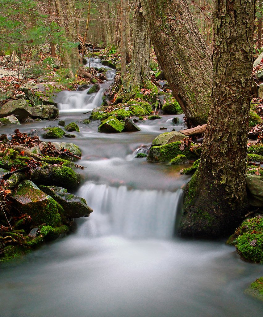
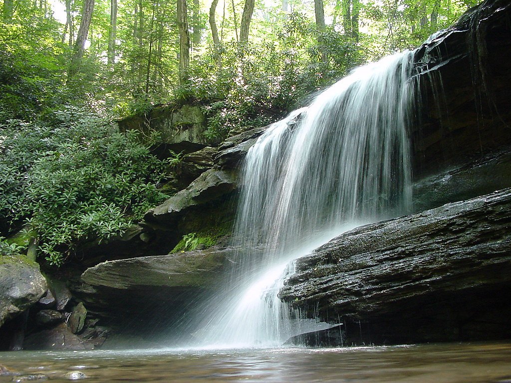
Sugar Run Falls
By Armen Suny · Last verified Mar 2026
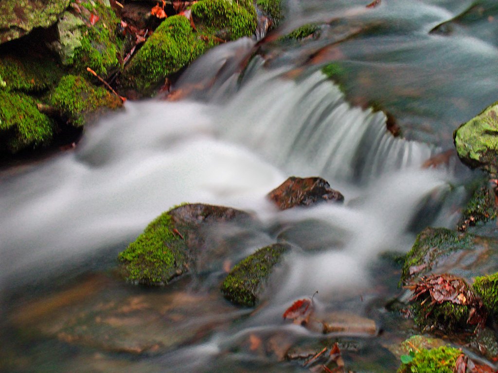
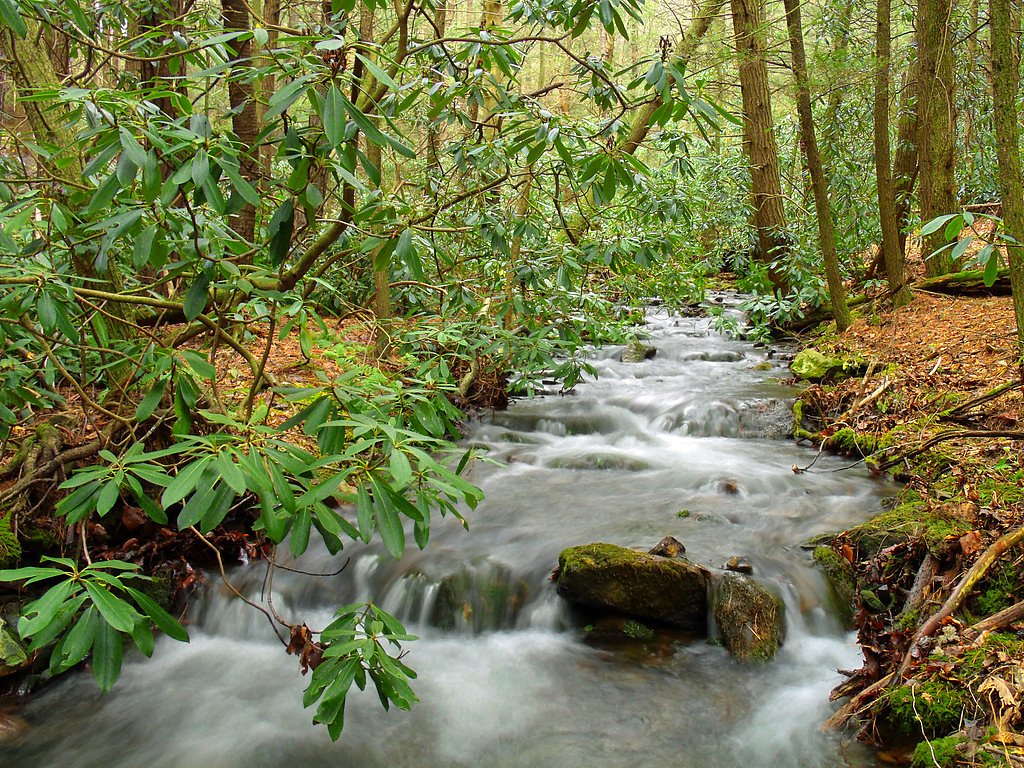
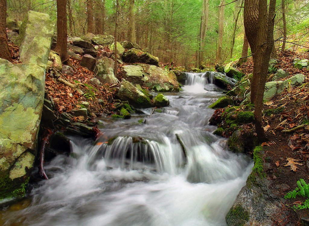
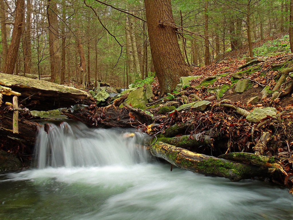

Photo Credits (5)
Difficulty
Moderate
Trail Length
2.4 miles
Trail Type
Out And Back
Elevation Gain
350 ft
About Sugar Run Falls
Sugar Run Falls sits tucked into the shaded hollows of Loyalsock State Forest and offers a peaceful, photogenic cascade that rewards a short hike through mature woodland. The falls are a favorite for nature lovers and photographers seeking a quiet scene of water tumbling over mossy rock and boulder-strewn streambed, accessible without a long backcountry approach. The fall line is reached via the Loyalsock Trail, which threads the forest with well-marked tread and seasonal highlights of ferns and hemlock. The route is a pleasant, moderately challenging outing suitable for day hikers who want a compact yet satisfying waterfall destination in state forestland rather than a long, technical scramble.
The Setting
Sugar Run Falls sits at 1,165 feet along the Youghiogheny River, in the foothills of Pennsylvania.
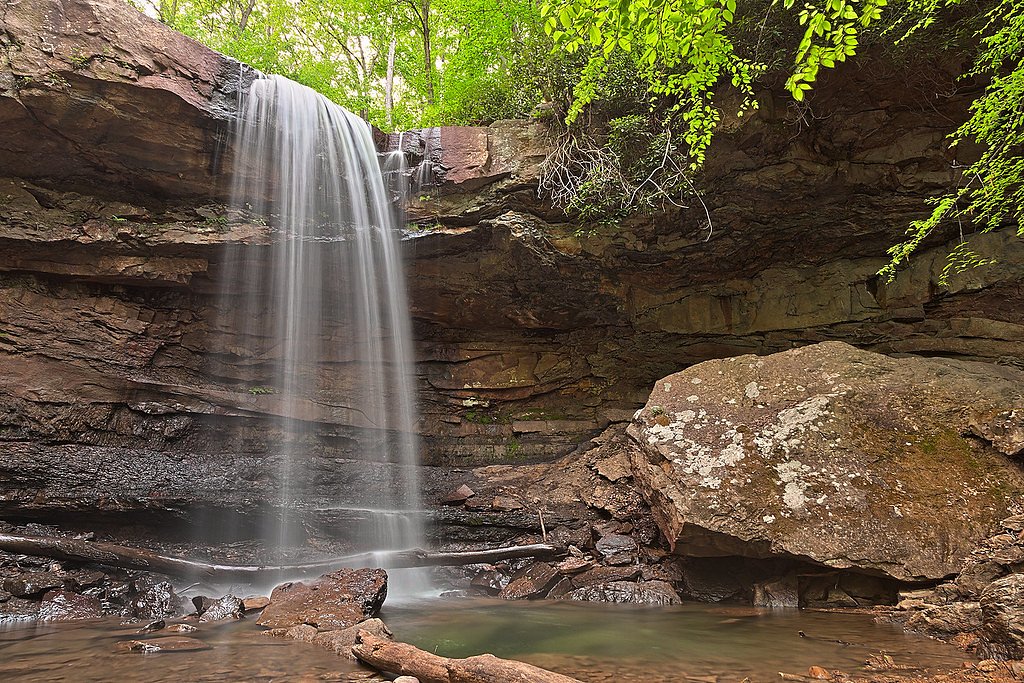
Nearby Falls Worth Visiting
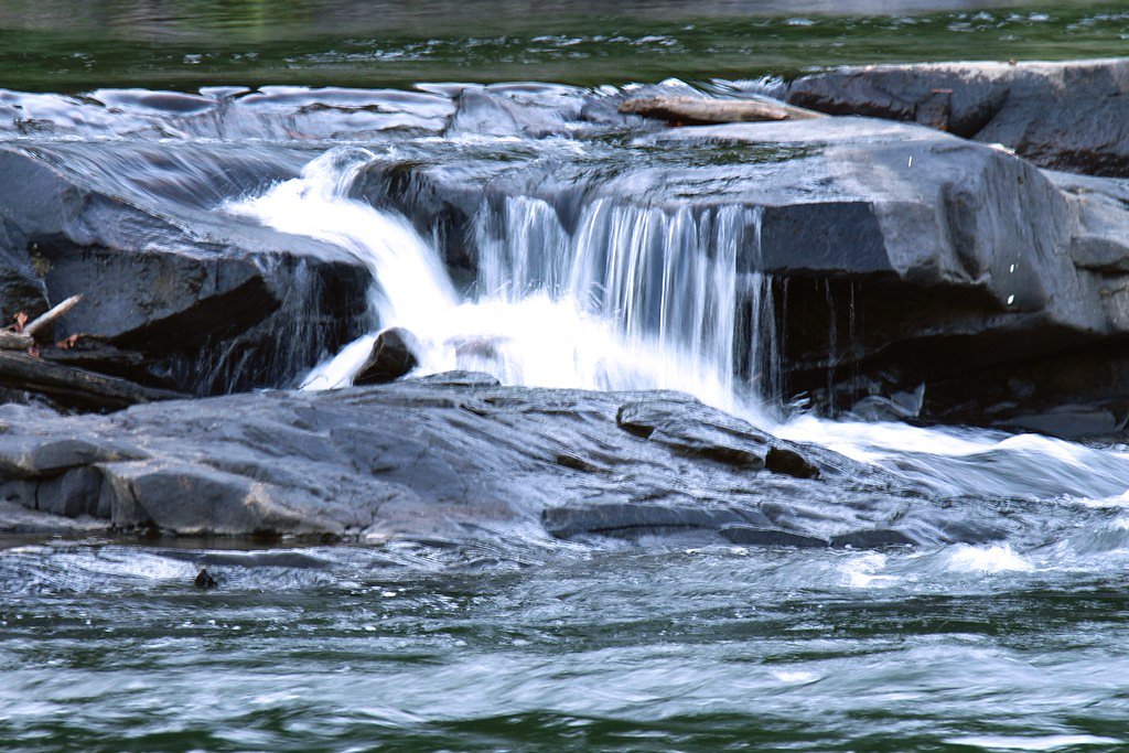
Cucumber Falls (30 ft) lies 3.0 miles to the south. Also nearby: Ohiopyle Falls (20 ft, 2.6 mi).
Trail & Hike Details
The Approach
The moderate 2.4-mile out-and-back trail gains 350 feet of elevation on the way to the falls.
Trail Description
Trail: Loyalsock Trail (out-and-back). Distance: approximately 2.4 miles round trip with about 350 feet of elevation gain. Difficulty: moderate. Surface and route: natural forest singletrack with rocky sections, roots and occasional stream crossings; footing can be slick after rain, so sturdy, grippy footwear is recommended. The grade stays generally moderate with some short, steeper pitches; route is non-technical and well-marked, making it a good half-day hike for hikers comfortable on uneven terrain.
What to Expect
Dogs are welcome.
Accessibility
The trail is not wheelchair accessible. Uneven terrain and elevation changes require steady footing.
Frequently Asked Questions
🐶 Are Dogs Allowed at Sugar Run Falls?
✅ Dogs are allowed
Are There Any Fees or Permits Required?
🆖 No fees required
🏊 Is There Swimming at Sugar Run Falls?
❌ Swimming is not allowed
When to Visit
Spring and early summer are ideal for visiting Sugar Run Falls, as the water flow is typically strongest during these seasons.
Seasonal Access
The best time to visit is Spring, Summer, and Fall. Winter access may be limited.
Safety Information
Be cautious of slippery rocks near the waterfall and along the trail, especially after rain. Always stay on marked trails to avoid getting lost.
Current Water Conditions
1,140 ft³/s
Current discharge — how much water is flowing
About average for this time of year
Based on 17 years of record
2.17 ft
Water depth at gauge
7-Day Discharge Trend
What does this mean for your visit?
Flow is about average for this time of year.
About This Gauge
7-Day Flow Outlook
Based on the USGS gauge Youghiogheny River at Ohiopyle, PA (4 km away).
Today
Moderate
1140 cfs
8/10Tomorrow
Moderate
1271 cfs
6/10Tue
Strong
1338 cfs
7/10Wed
Strong
1415 cfs
7/10Thu
Strong
1393 cfs
7/10Fri
Moderate
1371 cfs
6/10Sat
Moderate
1334 cfs
6/10Best window: Today — moderate flow, patchy fog then sunny (trip score 8/10).
Best time of year: this gauge typically runs highest from mid February to mid March, peaking in February.
How we calculate this
This is a transparent outlook, not a precise forecast. We take the waterfall's current flow strength (how it ranks against its historical normal for today, from the nearest USGS stream gauge), carry that ranking forward along the gauge's seasonal curve, and nudge it for forecast rain. Confidence is highest for the next day or two and falls further out. Always check official conditions and your own judgment before visiting — high flows can be dangerous.
Know when to go.
Get a free email alert when waterfalls near Ohiopyle hit peak flow. We only send when conditions are worth the trip — no weekly newsletters, no spam.
Weather Forecast
Location & Access
Getting There
Sugar Run Falls is located within the Loyalsock State Forest. The falls can be accessed via the Loyalsock Trail, which is a well-known hiking trail in the area. Visitors should follow signs for the trailhead near the High Knob Overlook.
Get Directions on Google MapsParking
Parking is available near the High Knob Overlook or at designated trailhead parking areas along the Loyalsock Trail.
Elevation
1,165 feet above sea level
Coordinates
39.905908° N, -79.490594° W
Visitor Tips & Gear
Wear sturdy hiking boots, especially after rain, as the trail can be muddy and slippery. Bring water and snacks, and consider visiting during the spring or after rainfall for the best water flow.
As an Amazon Associate, we earn from qualifying purchases.
With 2.4 miles and 350 ft of elevation gain, sturdy boots and trekking poles will help on this moderate trail. Sun exposure on the trail makes good sun protection a must in summer.

Polarized Sunglasses (Knockaround)
Cuts glare off the water so you actually see the falls — and your photos turn out better too.

Columbia Watertight II Rain Jacket
Packs into its own pocket, seam-sealed, and keeps you dry from spray and surprise rain.

Earth Pak Waterproof Dry Bag
Keeps your phone and gear dry when waterfall mist soaks everything else.

Waterproof Phone Pouch (AiRunTech)
Cheap insurance — take photos right next to the falls without killing your phone.

Timberland Euro Sprint Mid Waterproof
Trusted waterproof boot with premium leather and grippy rubber sole — reliable on rocky, wet trails.

TrailBuddy Trekking Poles
Lightweight aluminum, cork grips, and flip-locks that actually hold — a best-seller for good reason.
Where to Stay

Stay In Ohiopyle near everything including the trail, Ohiopyle PA

Comfort Inn Connellsville Riverview

Lodge at Chalk Hill

Comfort Suites Uniontown
Browse vacation cabins and private rentals nearby
Unique outdoor stays — tents, yurts, and treehouses
Rent a campervan or RV for your waterfall road trip
Some links are affiliate links. We may earn a commission at no extra cost to you.
Nearby Campground
OUTFLOW CAMPING
9.6 miles away · 96 sites
Overview The Outflow Camping Area is located on Youghiogheny River Lake in the heart of the Laurel Highlands. The lake spans the Mason-Dixon Line between Pennsylvania and Maryland. Clean waters, forested mountains and steep-sided valleys provide an unsurpassed setting for recreational opportunities.Recreation Camping, fishing, boating, water skiing, hiking, biking, picnicking and sightseeing are the area's most popular activities. Boaters consider Youghiogheny River Lake, with its 16-mile length
Book on Recreation.govAdditional Information
Nearby Attractions
High Knob Overlook, Loyalsock Trail, Worlds End State Park.
Wildlife
The area is home to a variety of wildlife, including deer, birds, and small mammals. Visitors may also encounter salamanders and other amphibians near the streams.
Cities near Sugar Run Falls
Nearby Waterfalls
Writing about Sugar Run Falls? Embed this waterfall on your site for free.