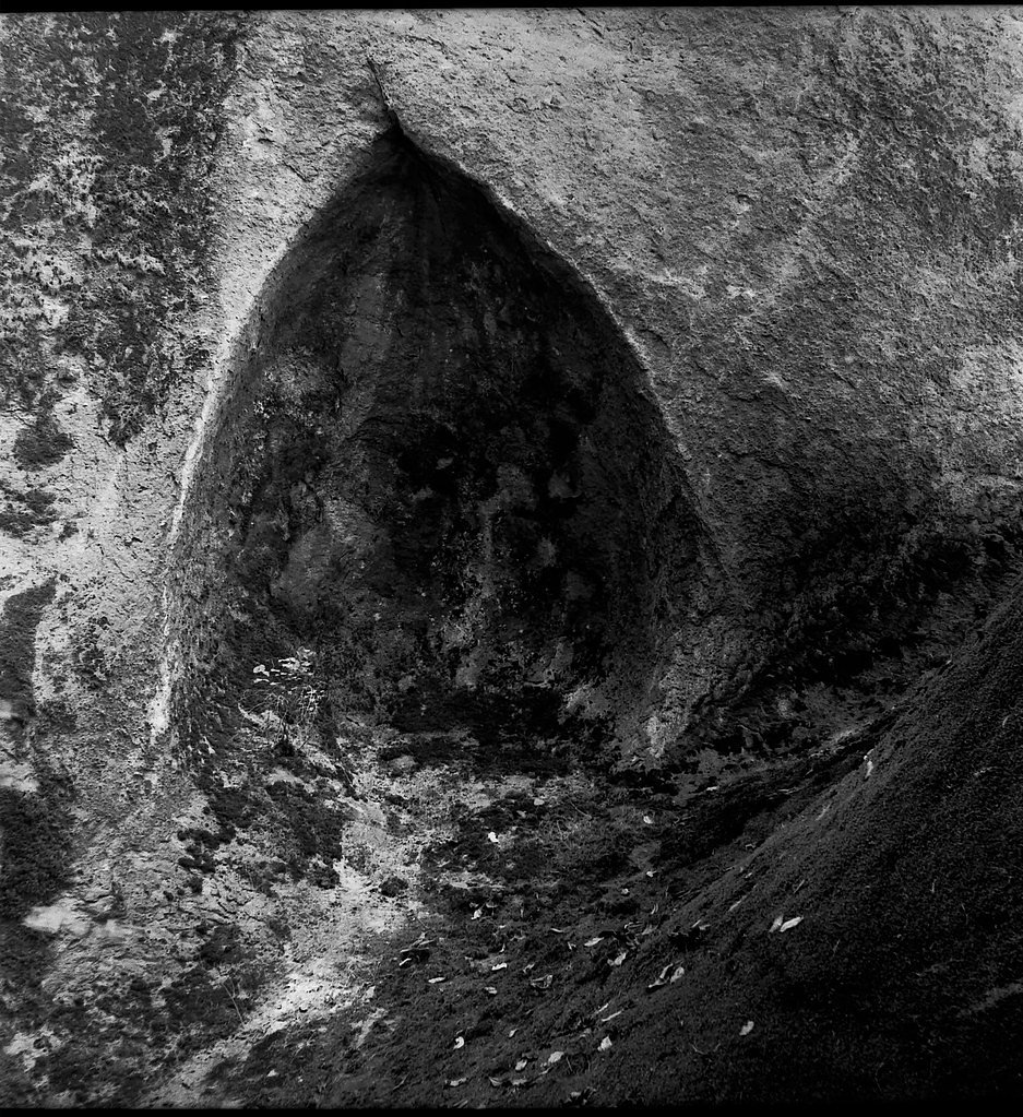
South Umpqua Falls
Oregon • Crater Lake National Park
By Armen Suny · Last verified Sep 2026
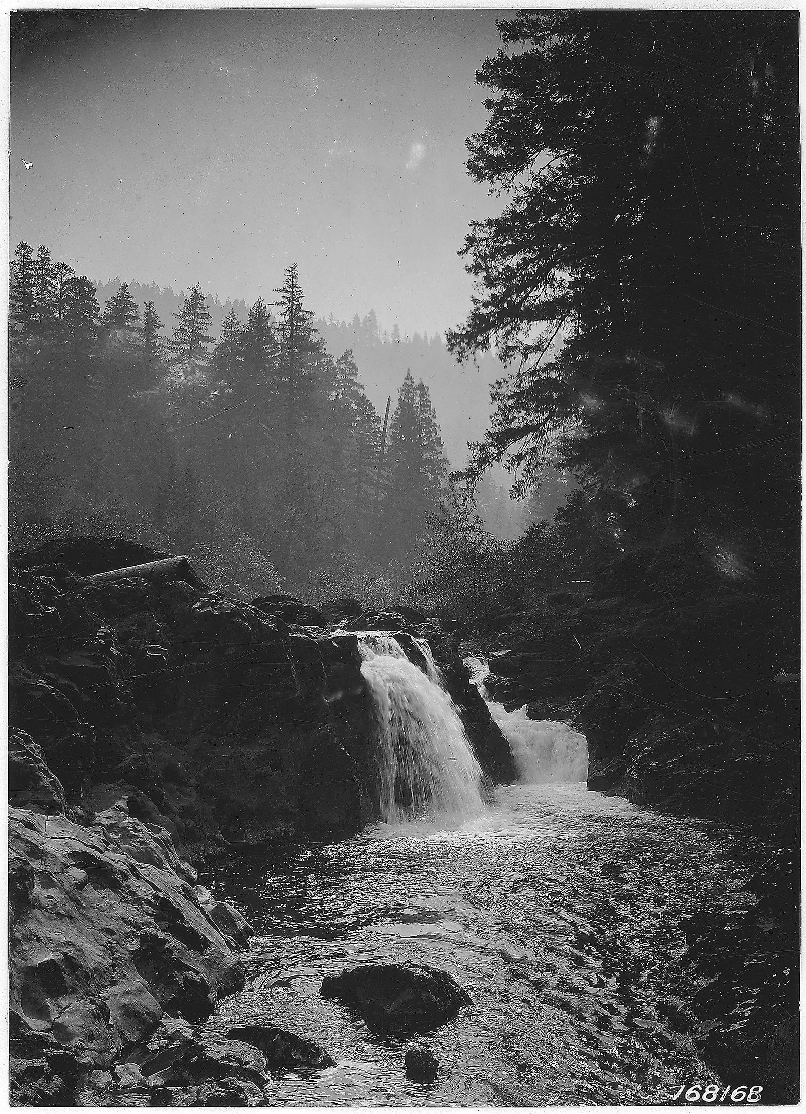
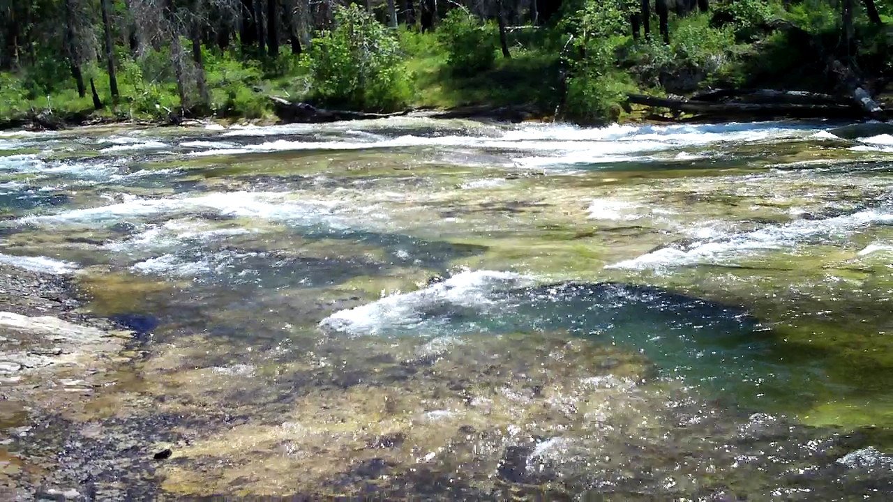


Photo Credits (5)
Difficulty
Easy
Trail Length
0.5 miles
Trail Type
Out And Back
About South Umpqua Falls
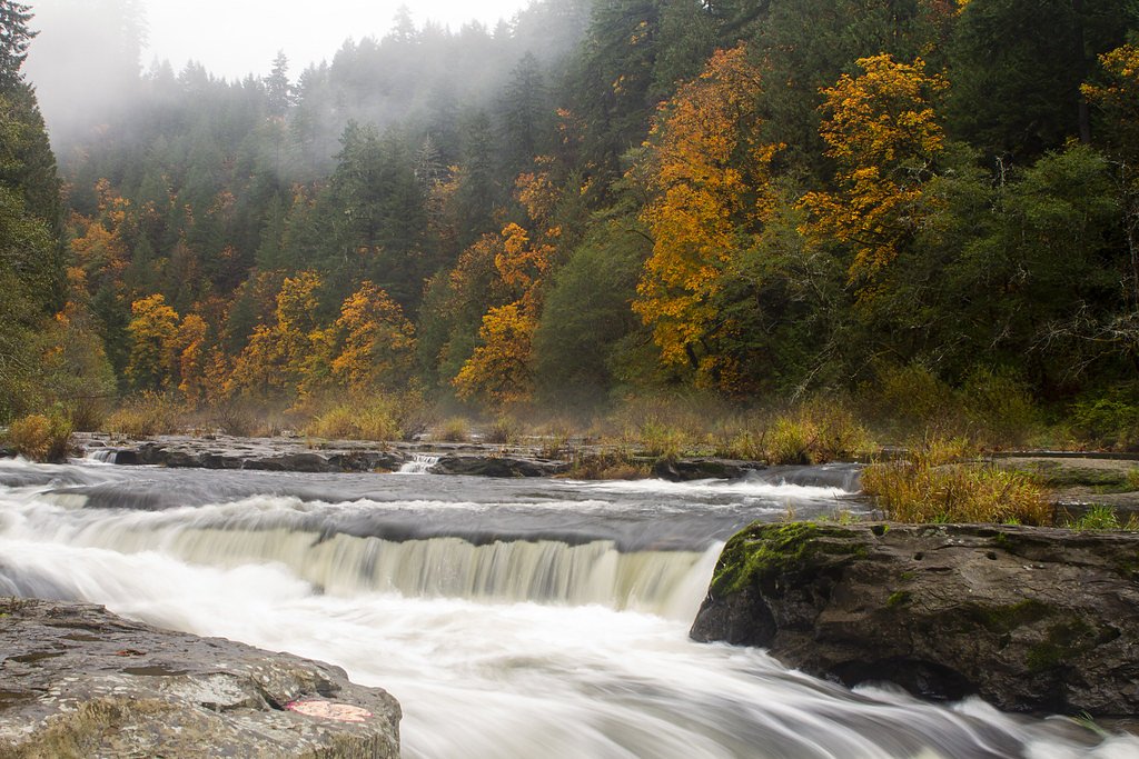
South Umpqua Falls is a picturesque waterfall located in the Umpqua National Forest in Oregon. It features a cascading drop into a clear pool, making it a popular spot for visitors seeking natural beauty and recreation.
The Setting
South Umpqua Falls sits at 1,644 feet within Crater Lake National Park, fed by the South Umpqua River, in the hills of Oregon.
Trail & Hike Details
The Approach
The easy hike follows Nfst 2700929 (#T2700929), a 0.5-mile out-and-back trail over natural surface. The trail is moderately developed (Class 2).
USFS Trail
NFST-2700929 #T2700929
Trail Class
Moderately Developed
Surface
Avg Grade
USFS Segment
0.12 miTrail Description
The trail to South Umpqua Falls is short and easy, making it suitable for most visitors. It leads directly to the falls and offers scenic views of the surrounding forest.
What to Expect
Swimming is permitted. Dogs are welcome.
Accessibility
The trail is short and relatively flat, but the surface may be uneven. Contact the managing agency for accessibility details.
Frequently Asked Questions
🐶 Are Dogs Allowed at South Umpqua Falls?
✅ Dogs are allowed
Are There Any Fees or Permits Required?
🆖 No fees required
🏊 Is There Swimming at South Umpqua Falls?
✅ Swimming is allowed
When to Visit
Spring and summer are the best times to visit, as the waterfall flow is strongest in spring, and summer offers warmer weather for outdoor activities.
Seasonal Access
The best time to visit is Spring, Summer, and Fall. Winter access may be limited. Check with Crater Lake National Park for current conditions.
Safety Information
Rocks near the falls can be slippery, so exercise caution when exploring. During winter, roads leading to the falls may be icy or snow-covered. Always check conditions before visiting.
Current Water Conditions
Based on a USGS gauge 15.8 miles away
56 ft³/s
Current discharge — how much water is flowing
About average for this time of year
Based on 87 years of record
0.72 ft
Water depth at gauge
64°F
CoolRefreshing for swimming
7-Day Discharge Trend
What does this mean for your visit?
Flow is about average for this time of year. Water temperature is a refreshing 64 degrees F, good for a quick swim.
About This Gauge
This gauge is on a regional waterway. Conditions at the falls may differ, especially after local rain.
7-Day Flow Outlook
Based on the USGS gauge SOUTH UMPQUA RIVER AT TILLER, OR (25 km away).
Today
Strong
56 cfs
10/10Tomorrow
Strong
54 cfs
10/10Wed
Strong
53 cfs
10/10Thu
Strong
54 cfs
10/10Fri
Strong
52 cfs
10/10Sat
Strong
52 cfs
10/10Sun
Strong
55 cfs
10/10Best window: Today — strong flow, sunny (trip score 10/10).
Best time of year: this gauge typically runs highest from early March to mid April, peaking in February.
How we calculate this
This is a transparent outlook, not a precise forecast. We take the waterfall's current flow strength (how it ranks against its historical normal for today, from the nearest USGS stream gauge), carry that ranking forward along the gauge's seasonal curve, and nudge it for forecast rain. Confidence is highest for the next day or two and falls further out. Always check official conditions and your own judgment before visiting — high flows can be dangerous.
Know when to go.
Get a free email alert when waterfalls near Prospect hit peak flow. We only send when conditions are worth the trip — no weekly newsletters, no spam.
Weather Forecast
Location & Access
Getting There
South Umpqua Falls is located off South Umpqua Road (Forest Road 28) in the Umpqua National Forest. The falls are accessible via a short drive from the nearby town of Tiller, Oregon.
Get Directions on Google MapsParking
There is a small parking area near the falls, which may fill up during peak seasons.
Elevation
1,644 feet above sea level
Coordinates
43.054558° N, -122.686268° W
Land Management
Managed by USFS
Visitor Tips & Gear
Visit early in the day to avoid crowds, especially during summer weekends. Bring sturdy footwear as the trail may be slippery near the falls. Check road conditions in winter before heading out.
Where to Stay

Hampton Inn & Suites Roseburg

Holiday Inn Express & Suites Roseburg North by IHG
Terraluna Inn

Umpqua Valley Hotel
Browse vacation cabins and private rentals nearby
Unique outdoor stays — tents, yurts, and treehouses
Rent a campervan or RV for your waterfall road trip
Some links are affiliate links. We may earn a commission at no extra cost to you.
Nearby Campground
Ash Flat Campground
2.4 miles away · 0 sites
Tucked into a forest of mixed conifers and hardwoods, Ash Flat Campground provides shaded campsites for a relaxed getaway any time of the year. Beaches and beautiful downstream views courtesy of the South Umpqua River are just a few seconds away, so bring your bathing suits!Facilities4 campsites with picnic tables and fire pitsNo drinking waterVault toiletGarbage disposal
Book on Recreation.govNearby Hot Springs
Hot springs near Shady Cove, Oregon

Umpqua Hot Springs
Umpqua Hot Springs flows at 117°F from multiple geothermal sources along the North Umpqua River in Lane County, forming cascadi...

Annie Spring
Annie Spring flows at 77°F within Crater Lake National Park at 5,983 feet elevation, discharging 1.71 cubic feet per second at ...
Kitson Hot Springs
Kitson Hot Springs flows at 109°F within Willamette National Forest at 1,664 feet elevation, positioned just 17 meters from For...

Mccredie Springs
McCredie Springs flows at 163°F along Salt Creek in the Willamette National Forest, creating one of western Oregon's most popul...
Eagle Point Spring
Eagle Point Spring flows at 95°F in Klamath County, emerging 45.6°F above the 49.4°F ambient temperature in a climate receiving...
Looking for a soak after your hike? Explore more hot springs near Shady Cove, Oregon on SoakingSprings.
Explore Oregon springsAdditional Information
Nearby Attractions
Nearby attractions include the Umpqua Hot Springs and other waterfalls in the Umpqua National Forest, such as Toketee Falls and Watson Falls.
Wildlife
The area is home to various wildlife, including deer, birds, and small mammals. Visitors should be cautious of potential encounters with bears or cougars.
Cities near South Umpqua Falls
Nearby Waterfalls
 Aerial
Writing about South Umpqua Falls? Embed this waterfall on your site for free.