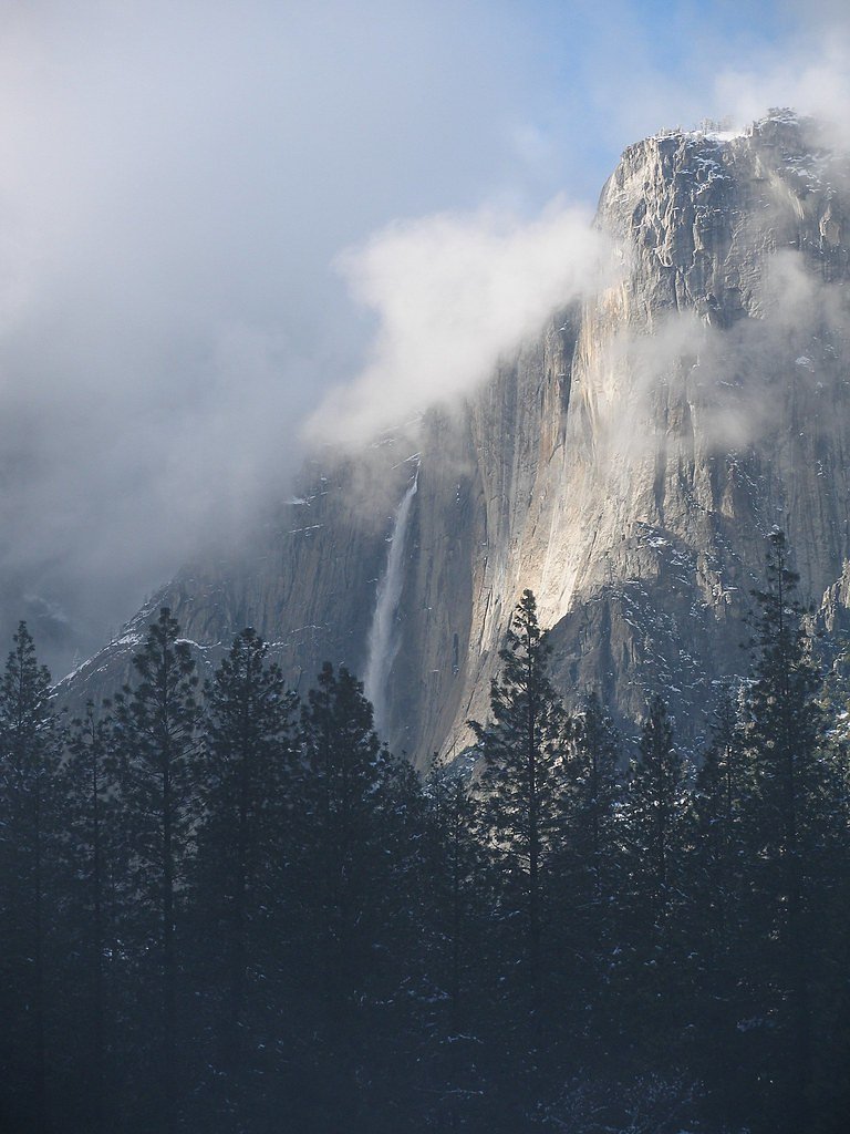
Sentinel Fall
California • Yosemite National Park • 1920 ft
By Armen Suny · Last verified Mar 2026
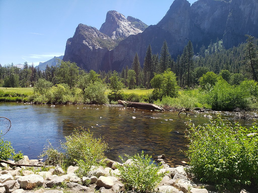
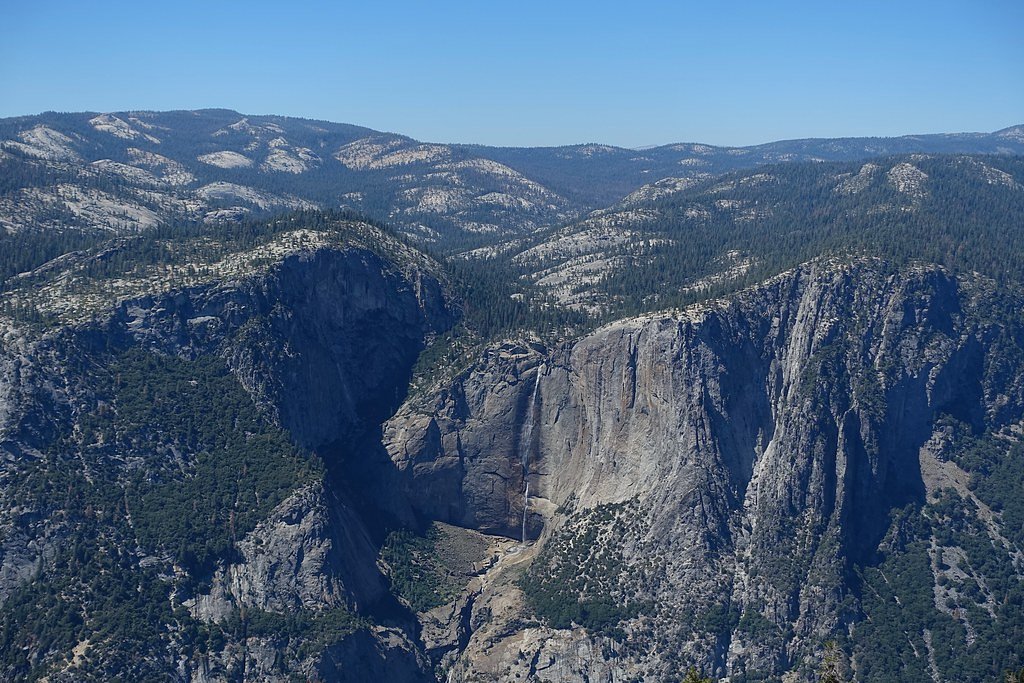
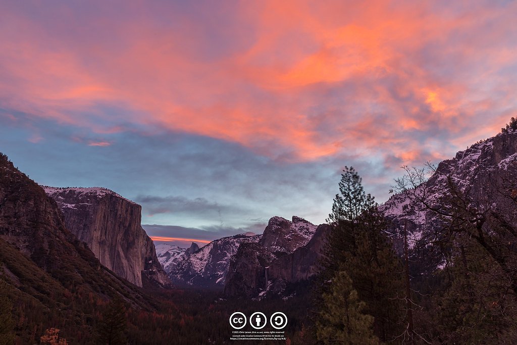
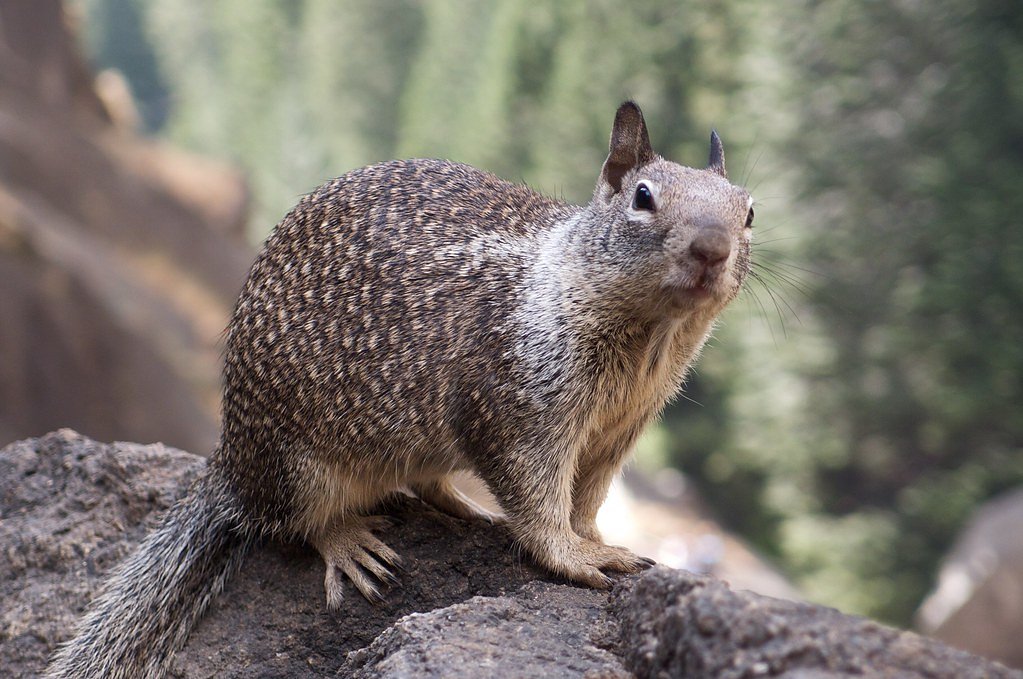
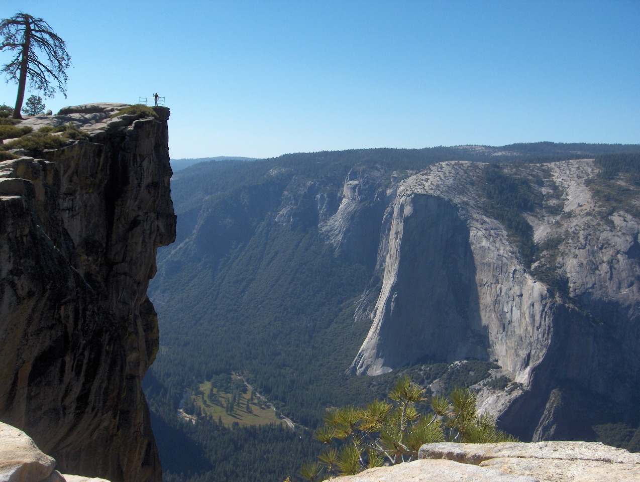
Photo Credits (5)
Difficulty
Moderate
Trail Length
2.4 miles
Trail Type
Out And Back
Elevation Gain
350 ft
About Sentinel Fall
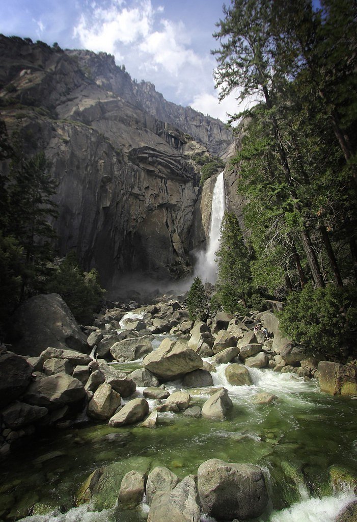
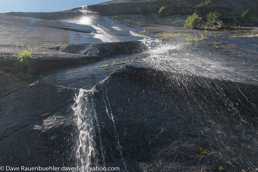
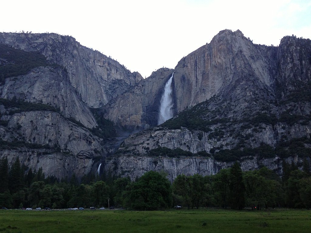
Sentinel Fall is a stunning, multi-tiered waterfall located in Yosemite National Park, California. It cascades down the granite cliffs near Sentinel Rock and is one of the park's tallest waterfalls. The waterfall is most prominent during the spring when snowmelt feeds its flow, but it may dry up later in the summer.
The Setting
Sentinel Fall sits at 5,630 feet within Yosemite National Park, in the high mountains of California. At 1,920 feet, it is among the taller waterfalls in California.
Height: 1920 feet
Nearby Falls Worth Visiting
Yosemite Falls, the tallest waterfall in California at 2,425 feet, lies 2.3 miles to the north. Also nearby: Upper Yosemite Falls (1430 ft, 2.2 mi) and Illilouette Falls (370 ft, 2.0 mi).
Trail & Hike Details
The Approach
The moderate 2.4-mile out-and-back trail gains 350 feet of elevation on the way to the falls.
Trail Description
There is no specific trail leading directly to Sentinel Fall, but it can be viewed from various points in Yosemite Valley. Visitors can enjoy the view from Southside Drive or explore nearby trails for different perspectives.
What to Expect
The falls plunge a dramatic 1920 feet.
Accessibility
The trail is not wheelchair accessible. Uneven terrain and elevation changes require steady footing.
Frequently Asked Questions
🐶 Are Dogs Allowed at Sentinel Fall?
❌ Dogs are not allowed
Are There Any Fees or Permits Required?
🤑 Fee: $35.00
🏊 Is There Swimming at Sentinel Fall?
❌ Swimming is not allowed
When to Visit
Spring is the best time to visit Sentinel Fall, typically from April to June, when the snowmelt is at its peak.
Seasonal Access
The best time to visit is Spring and Summer. Access roads and trails may close during winter due to snow. Check with Yosemite National Park for current conditions.
Safety Information
Stay on designated viewing areas and trails. Do not attempt to climb near the waterfall as the terrain is steep and slippery. Be cautious of changing weather conditions and wildlife.
Current Water Conditions
281 ft³/s
Current discharge — how much water is flowing
About average for this time of year
Based on 110 years of record
2.73 ft
Water depth at gauge
56°F
ColdBracing — limit time in water
7-Day Discharge Trend
What does this mean for your visit?
Flow is about average for this time of year. Water temperature is a bracing 56 degrees F, limit your time in the water.
About This Gauge
7-Day Flow Outlook
Based on the USGS gauge MERCED R A HAPPY ISLES BRIDGE NR YOSEMITE CA (3 km away).
Today
Barely Flowing
281 cfs
5/10Tomorrow
Barely Flowing
290 cfs
5/10Mon
Barely Flowing
272 cfs
5/10Tue
Barely Flowing
256 cfs
5/10Wed
Barely Flowing
247 cfs
5/10Thu
Barely Flowing
229 cfs
5/10Fri
Barely Flowing
208 cfs
5/10Best window: Today — barely flowing flow, mostly sunny (trip score 5/10).
Best time of year: this gauge typically runs highest from early April to early July, peaking in May.
How we calculate this
This is a transparent outlook, not a precise forecast. We take the waterfall's current flow strength (how it ranks against its historical normal for today, from the nearest USGS stream gauge), carry that ranking forward along the gauge's seasonal curve, and nudge it for forecast rain. Confidence is highest for the next day or two and falls further out. Always check official conditions and your own judgment before visiting — high flows can be dangerous.
Know when to go.
Get a free email alert when waterfalls near Yosemite Valley hit peak flow. We only send when conditions are worth the trip — no weekly newsletters, no spam.
Weather Forecast
Location & Access
Getting There
Sentinel Fall is located in Yosemite Valley, near Sentinel Rock. It can be viewed from various points in the valley, including the Southside Drive and nearby trails.
Get Directions on Google MapsParking
Parking is available at designated lots in Yosemite Valley. The closest parking area is near the Yosemite Valley Visitor Center or along Southside Drive.
Elevation
5,630 feet above sea level
Coordinates
37.724926° N, -119.596553° W
Land Management
Managed by NPS
Visitor Tips & Gear
Visit in the spring for the best views of the waterfall. Bring binoculars or a camera with a zoom lens to capture the details of the falls from a distance. Be prepared for changing weather conditions in Yosemite Valley.
This trail sits at 5,630 ft above sea level
Elevated TrailUV radiation is roughly 23% stronger at this elevation than at sea level, and the dry air accelerates dehydration. Extra sun protection and fluids go a long way.
As an Amazon Associate, we earn from qualifying purchases.

Coppertone Sport SPF 50 Sunscreen
UV intensity jumps ~4% per 1,000 ft — at this elevation you can burn in half the time.

Sun Bum SPF 30 Lip Balm (3-Pack)
Lips have almost no natural UV protection and burn fast in thin, dry mountain air.

Liquid I.V. Electrolyte Packets
You lose moisture ~2x faster at elevation — electrolytes help you absorb water efficiently.

ROCKNIGHT Polarized UV400 Sunglasses
High-altitude glare off rock and water is intense — UV400 lenses block 99%+ of UVA/UVB.
As an Amazon Associate, we earn from qualifying purchases.
With 2.4 miles and 350 ft of elevation gain, sturdy boots and trekking poles will help on this moderate trail. Sun exposure on the trail makes good sun protection a must in summer.
America the Beautiful Annual Pass
Covers entrance fees at 2,000+ federal recreation sites — required at most National Parks.

Polarized Sunglasses (Knockaround)
Cuts glare off the water so you actually see the falls — and your photos turn out better too.

Columbia Watertight II Rain Jacket
Packs into its own pocket, seam-sealed, and keeps you dry from spray and surprise rain.

Earth Pak Waterproof Dry Bag
Keeps your phone and gear dry when waterfall mist soaks everything else.

Waterproof Phone Pouch (AiRunTech)
Cheap insurance — take photos right next to the falls without killing your phone.

Timberland Euro Sprint Mid Waterproof
Trusted waterproof boot with premium leather and grippy rubber sole — reliable on rocky, wet trails.

TrailBuddy Trekking Poles
Lightweight aluminum, cork grips, and flip-locks that actually hold — a best-seller for good reason.
Where to Stay

Yosemite View Lodge

Big Creek Inn

Rush Creek Lodge at Yosemite

Tenaya at Yosemite
Browse vacation cabins and private rentals nearby
Unique outdoor stays — tents, yurts, and treehouses
Rent a campervan or RV for your waterfall road trip
Some links are affiliate links. We may earn a commission at no extra cost to you.
Nearby Campground
Lower Pines Campground
2 miles away · 75 sites
Overview Lower Pines is closed for the winter season.Lower Pines campsites are available to reserve up to five months in advance on the 15th of each month at 7:00 a.m. PST. For example, on January 15, arrival dates for the period May 15 to June 14 become available to reserve, and therefore, the full arrival date window would be from the campground open date to June 14. Reservation tips! Campsites in Yosemite are extremely popular and typically sell out in minutes. Login to your account or create
Book on Recreation.govNearby Hot Springs
Hot springs near Yosemite Valley, California

Reds Meadow Hot Springs
Reds Meadow Hot Springs flows at an impressive 115°F high in the Eastern Sierra at 7,638 feet elevation, delivering water 72 de...

Fumaroles
Fumaroles vent superheated steam high in the Sierra at 8,167 feet, where the geothermal system expresses itself through mountai...
Unnamed Spring Mono County 7
This 97-degree thermal spring sits at 8,159 feet elevation within Inyo National Forest, running an extraordinary 56.7 degrees a...

Unnamed Spring Mono County 2
At 7,313 feet elevation, this 72-degree thermal spring near Mammoth Lakes flows just 45 meters from El Camino Sierra Road in ha...

Unnamed Spring Mono County 5
This 72-degree thermal spring near Bridgeport sits at 6,383 feet elevation, requiring a short 160-meter walk from the road in M...
Casa Diablo Hot Springs And Geyser
Casa Diablo Hot Springs and Geyser erupts at 199 degrees Fahrenheit—one of California's most extreme geothermal features. Locat...
Looking for a soak after your hike? Explore more hot springs near Yosemite Valley, California on SoakingSprings.
Explore California springsAdditional Information
Nearby Attractions
Nearby attractions include Yosemite Falls, Bridalveil Fall, El Capitan, and the Yosemite Valley Visitor Center.
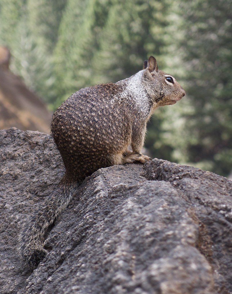
Wildlife
Yosemite Valley is home to a variety of wildlife, including deer, squirrels, and numerous bird species. Bears are also present in the park, so visitors should follow proper food storage guidelines.
Cities near Sentinel Fall
Nearby Waterfalls
Writing about Sentinel Fall? Embed this waterfall on your site for free.